3.9 hr
Overview
The center of San Francisco is the epicenter of singletrack in the city. While others drive for 30 minutes or more to find dirt, those willing to climb a bit can find some great singletrack right in city limits.<br><br><b>The Climb</b><br>Start the climb up Market Street in the Castro. This is a good slog, and the passing cars can sometimes be close so practice caution. Once at the top, near Portola, turn right on Twin Peaks Blvd and a quick left on Panorama Drive. A steep climb through the residential neighborhood leads to the highest trailhead (Panorama Trailhead) for the new volunteer-built Laguna Honda trail system!<br><br><b>Laguna Honda Trail</b><br>Drop in at the Panorama Trailhead, and ride Troop 88 Trail downhill. The trail is nice dirt, with a few technical features and optional berms. It joins with the Steep Ravine Trail (also known as Bedpan Alley) at the upper parking lot. More switchbacks lead into a rolling downhill through a beautiful canyon overgrown with greenery. Watch out for the sides of the trail, where blackberry bushes rule the roost. At about 2/3 trail distance, bear left uphill on the Knob Trail. This provides a short climb to another parking lot, and options to drop into Sherwood Road Trail (a loop), or directly to Clarendon. Either option will bring you to the Clarendon trailhead, where you begin another on-road climb.<br><b>Trail Map for Laguna Honda:</b> <a href="https://sfurbanriders.org/resources/LHH_map+090119%20v83%20wide.pdf" rel="nofollow noopener noreferrer" target="_blank">sfurbanriders.org/resources…</a><br><br><b>Clarendon Climb</b><br>After exiting the Laguna Honda system, turn right on Clarendon. Climb the hill on the road until you reach the interior greenbelt. The entrance to the Clarendon Connector is on the north side of the road (left as you climb) and is marked by granite steps and an obvious trailhead. <b>NOTE:</b> Use caution crossing Clarendon at this point. Cars drive at high speeds on this road.<br><br><b>Sutro Trail System</b><br>Sutro presents MANY lo
Trail Stats
13.2 km
392 m
281 m
33 m
—
Photos
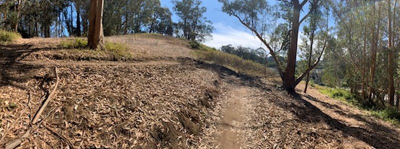
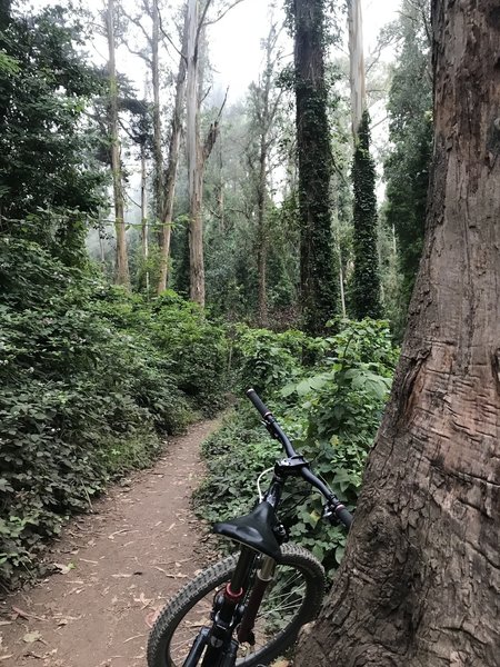
Recently-built singletrack on the north side of the Laguna Honda property. Photo faces up the hill facing the Timber Trail. Several switchbacks like this follow.
Recently-built singletrack on the north side of the Laguna Honda property. Photo faces up the hill facing the Timber Trail. Several switchbacks like this follow.
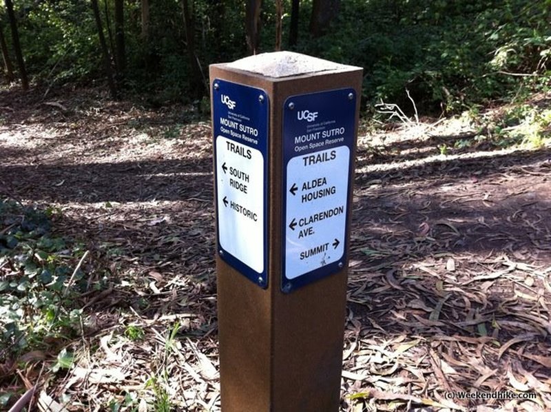
Junction at Historic & South Ridge. Take Trail towards Summit
Junction at Historic & South Ridge. Take Trail towards Summit
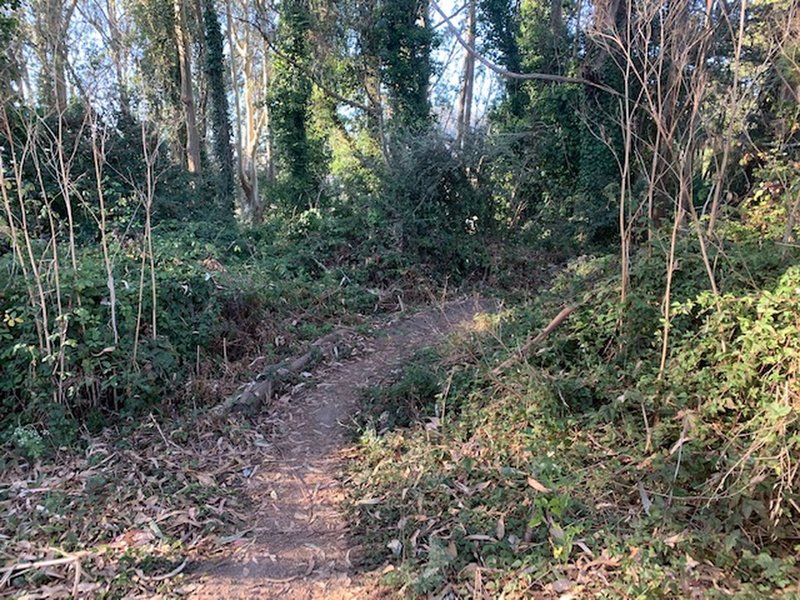
Entry to the trees.
Entry to the trees.
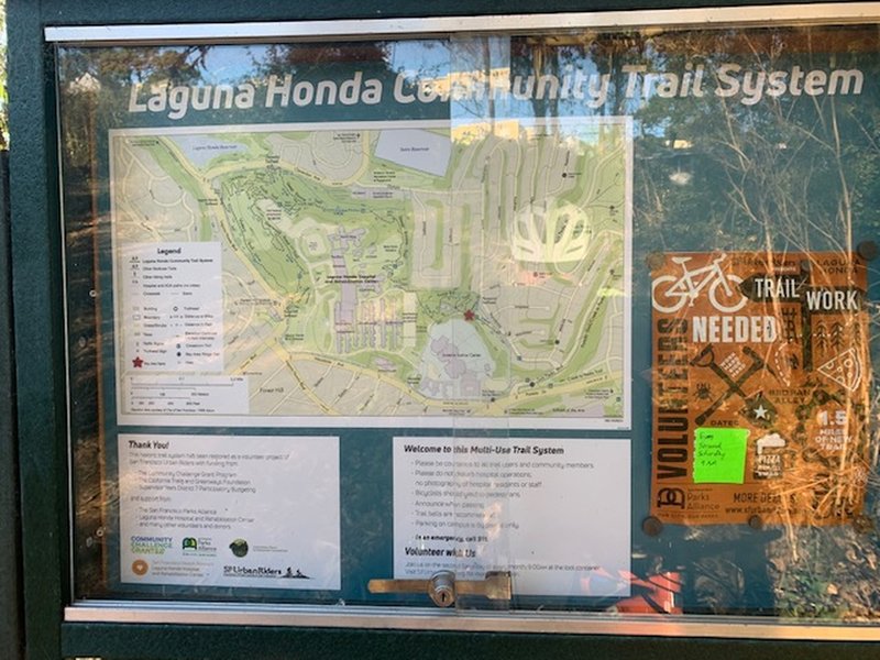
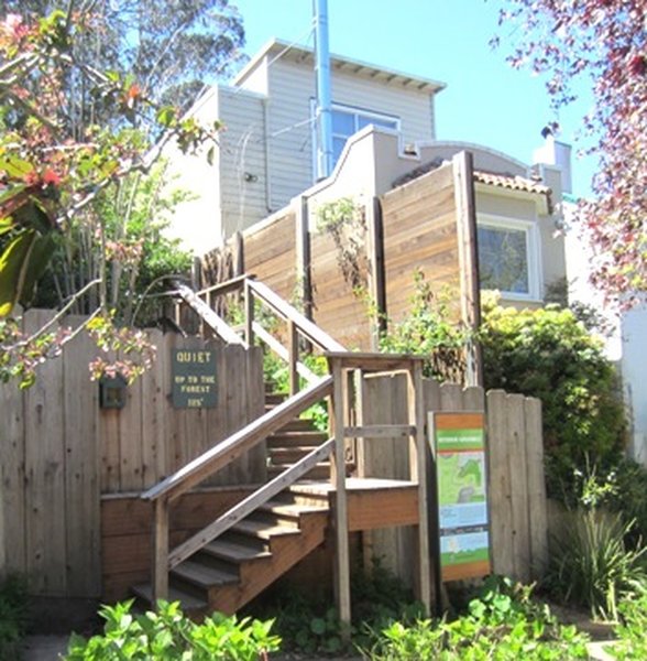
Information sign at the entry point.
Information sign at the entry point.
Headed up the Historic Trail
Headed up the Historic Trail
Trailhead at 17th & Stanyan
Trailhead at 17th & Stanyan
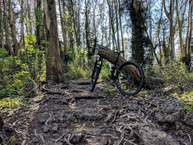
Bike on North Ridge Trail
Bike on North Ridge Trail