6.8 hr
Overview
Starting from Mountain View's Shoreline Park, near Google Headquarters, this ride heads north through The Baylands of Palo Alto then continues to Ravenswood Open Space. The trails are mostly gravel or crushed shell and granite with a few paved sections. The ride is out-and-back and flat allowing turnarounds at any point.<br><br>There's plenty of parking in Shoreline Park but a good starting point is the boathouse and marina on Shoreline Lake. There's a caf\u00e9 for refreshments before or after a ride. <br><br>Head south past the historic Rengstorff House crossing a bridge then make a quick right on the paved path. The Permanente Creek Trail passes through the golf course parking lot past Michael's Restaurant continuing through the golf course next to the creek. <br><br>At the junction with a paved service road, Vista Slope rises on the left with the twin teepee canopies of Shoreline Amphitheater just beyond. Follow the gravel trail as it winds its way to the top of the hill. Take in the view with the Amphitheater directly east, Googleplex to the south, and the Bay and wetlands to the northeast. Look down--below your feet is a 100-foot pile of garbage sent down from San Francisco over several decades to what was once a landfill. See History note below.<br><br>Retrace the path back down to the Permanente Creek Trail crossing the bridge on the service road to the west then north towards Shoreline Lake until you reach a section of the Bay Trail. Turning left, you quickly reach Adobe Creek Loop Trail where you keep right on a gravel road that runs along bayside sloughs to the northeast. After a minute or two listening to the sound of crunching gravel, you'll notice some trails that parallel the road. These "singletracks" are a lot smoother with good visibility and a few small humps, bumps and mini-jumps especially where the trail loops around a small pond. A fun place to bring young riders just starting out. This loop trail can be a ride by itself but to continue farther north, keep to the right when the trail forks
Trail Stats
26.8 km
40 m
28 m
1 m
—
Photos

Historic Rengstorff House, near the start of Permanente Creek Trail, was moved here from its original location in downtown Mountain View.
Historic Rengstorff House, near the start of Permanente Creek Trail, was moved here from its original location in downtown Mountain View.
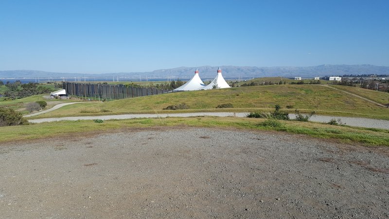
View over Shoreline Ampitheater.
View over Shoreline Ampitheater.
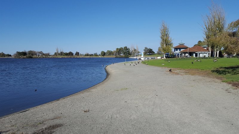
Beach on Shoreline Lake.
Beach on Shoreline Lake.
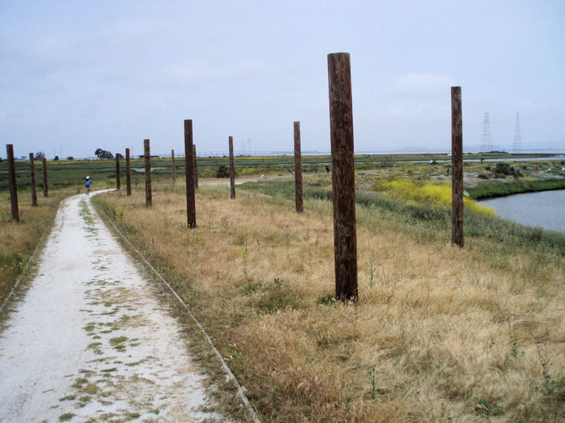
Byxbee Poles
Byxbee Poles
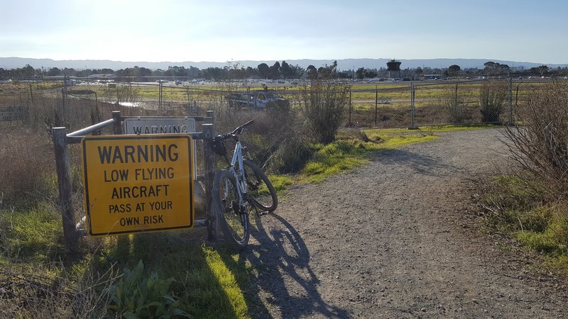
Aerial hazards along San Francisquito Creek Trail.
Aerial hazards along San Francisquito Creek Trail.
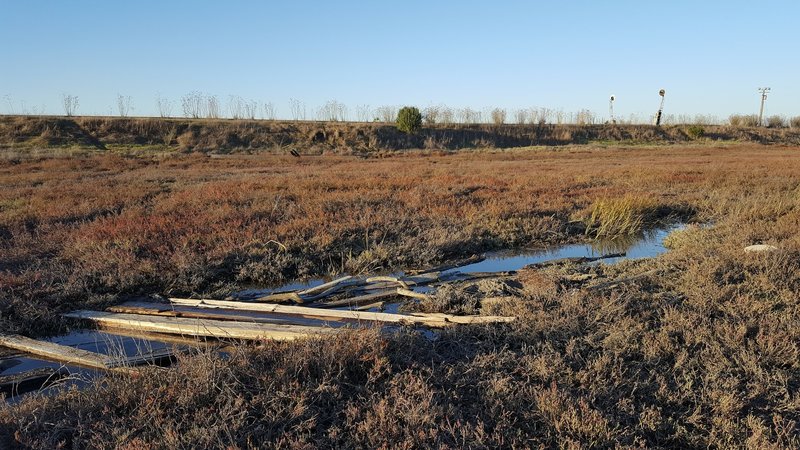
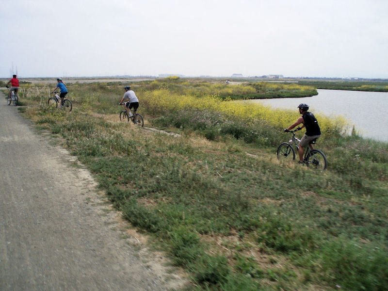
Wetlands area in Ravenswood Open Space.
Wetlands area in Ravenswood Open Space.
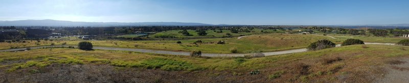
Panorama from Googleplex to the north from Vista Slope.
Panorama from Googleplex to the north from Vista Slope.
Bay views next to Shoreline Park.
Bay views next to Shoreline Park.
Marsh Front Trail approaching historic Sea Scout marina.
Marsh Front Trail approaching historic Sea Scout marina.
San Francisquito Creek Trail near interpretive center.
San Francisquito Creek Trail near interpretive center.
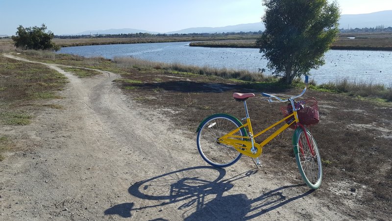
Google Bike spotted along Adobe Creek Loop Trail.
Google Bike spotted along Adobe Creek Loop Trail.
Adobe Creek Loop "singletrack".
Adobe Creek Loop "singletrack".
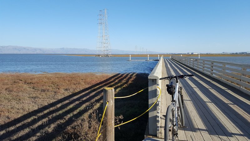
Sailing Station Pier at end of San Francisquito Trail.
Sailing Station Pier at end of San Francisquito Trail.
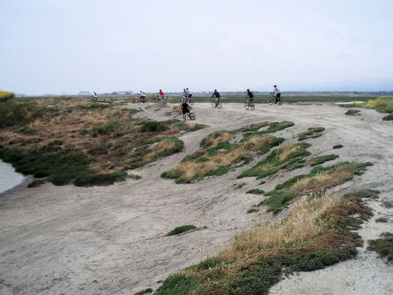
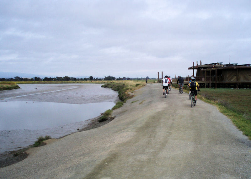
Along Adobe Creek Loop Trail.
Along Adobe Creek Loop Trail.