12.9 hr
Overview
Leaving the Hunting Hollow entrance parking lot, cross the stream and head up the Hunting Hollow Road about 1/8 mile. Turn left on to the Jim Donnelly Trail. This switchback trail brings you up the ridge at a pretty consistent grade. Continue to Steer Ridge Road toward Wilson Peak. <br><br>Just past Wilson Peak, take a sharp left onto the Serpentine Trail. This is a challenging intermediate downhill singletrack with some deep ruts. You'll turn right onto Grizzly Gulch Trail and then take a left on Wagon Trail Road. Then take a right onto Live Oak Spring Trail, and another right onto Pacheco Creek Trail for a fairly steep downhill toward the base of the falls. There is a pile of stacked rocks which indicate a hiking trail which leads to a lookout over the series of falls. This is a short walk and well worth it. <br><br>The pool at the base of the falls would probably be a great place for a dip in the summer, but not for our mid-February ride. Getting back up the steep trail/road wasn't easy for my tired legs. But once back on the Wagon Trail Road, head north to the Coit Road turn off, and take a left onto Coit Road. This road will start to head uphill at a small grade until it finally gets you to the top of the ridge. Then it's pretty much all downhill toward Gilroy Hot Springs Road with one major creek crossing.
Trail Stats
42.3 km
1379 m
799 m
260 m
—
Photos
Switchback just beofre the halfway point.
Switchback just beofre the halfway point.

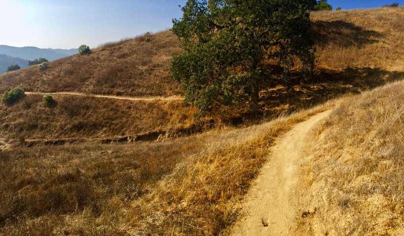
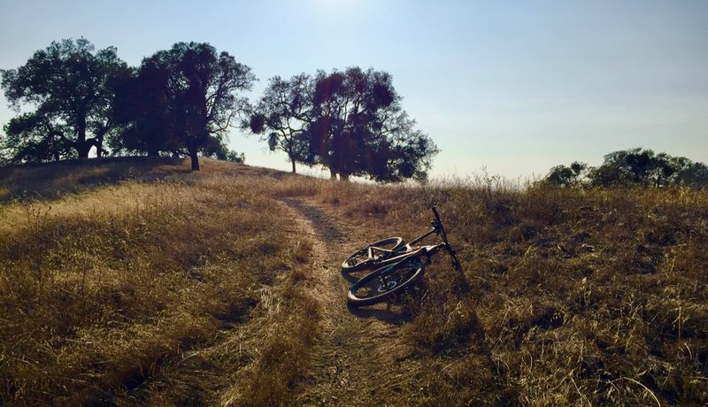
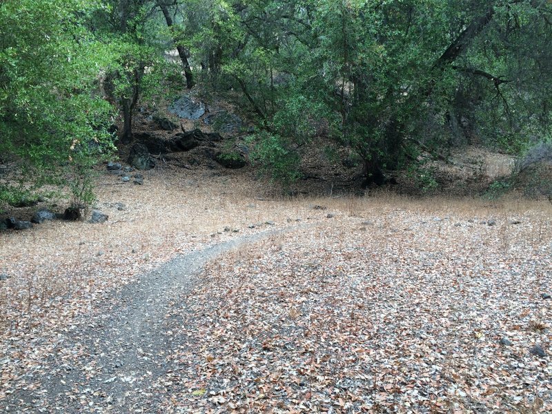
Head up Jim Donnelly Trail on smooth singletrack.
Head up Jim Donnelly Trail on smooth singletrack.
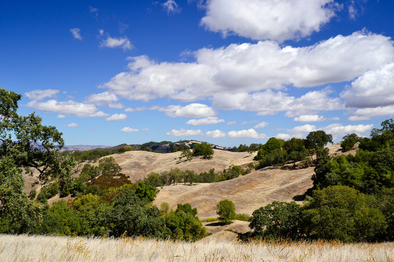
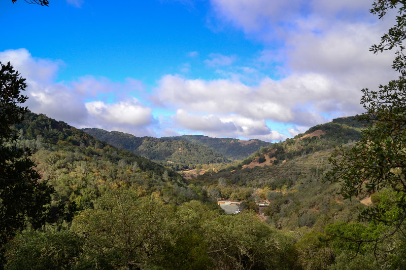
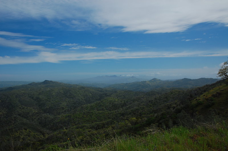
Be sure to stop and enjoy great views of Henry W. Coe State Park along your ride.
Be sure to stop and enjoy great views of Henry W. Coe State Park along your ride.
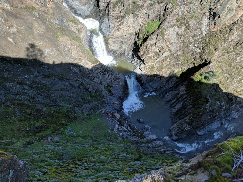
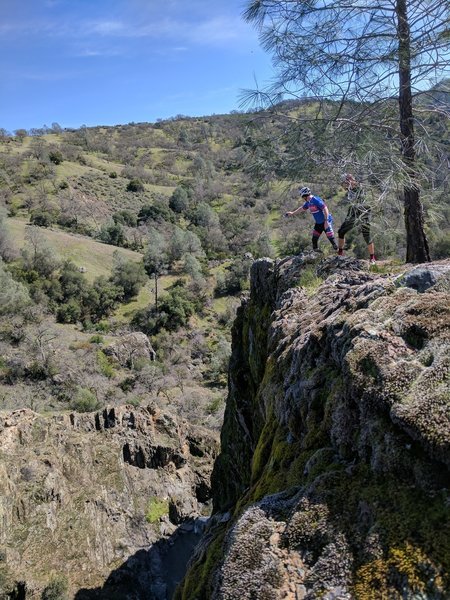
Watch your footing near this view down the cliff toward a few of the pools at Pacheco Creek Falls.
Watch your footing near this view down the cliff toward a few of the pools at Pacheco Creek Falls.
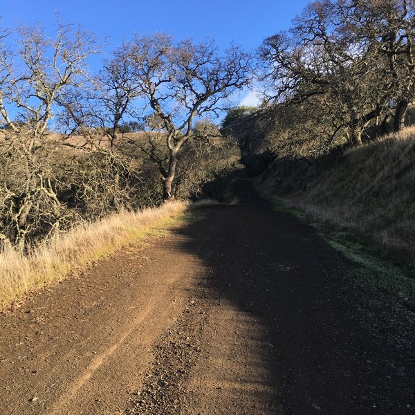
Coit Road
Coit Road
Coit Road
Coit Road
A mellower bit of the road after the stiff climb from the top of Jim Donnelly.
A mellower bit of the road after the stiff climb from the top of Jim Donnelly.
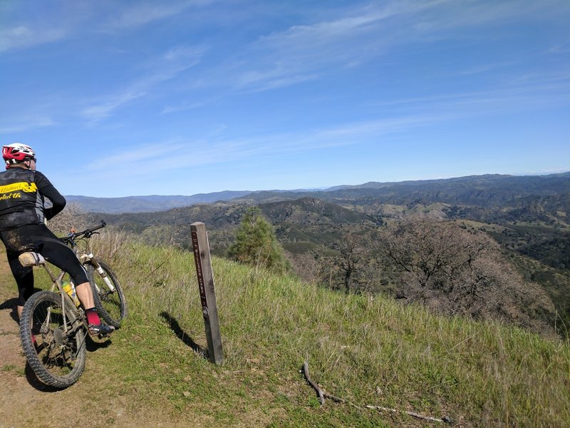
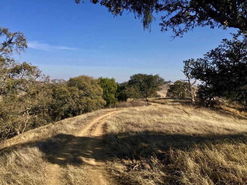
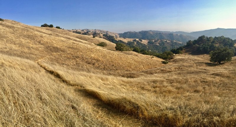
Enjoy beautiful views across the hills on Steer Ridge Road.
Enjoy beautiful views across the hills on Steer Ridge Road.
The start of Serpentine after a very short climb in. It's gets steep and loose in another fifty yards.
The start of Serpentine after a very short climb in. It's gets steep and loose in another fifty yards.
Careful with cleats here – it's a long way down to the water.
Careful with cleats here – it's a long way down to the water.
Nearing the top of Jim Donnelly on a beautiful November day.
Nearing the top of Jim Donnelly on a beautiful November day.
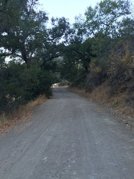
Coit Road's wide, gravel surface makes for a nice spin.
Coit Road's wide, gravel surface makes for a nice spin.
Look out across the hills for spectacular views from the Jim Donnelly Trail.
Look out across the hills for spectacular views from the Jim Donnelly Trail.
Enjoy the view from Wagon Trail Road.
Enjoy the view from Wagon Trail Road.
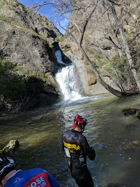
Enjoy this view at the base of Pacheco Creek Falls. It's too cold for a dip in February, but it'd sure be nice in summer!
Enjoy this view at the base of Pacheco Creek Falls. It's too cold for a dip in February, but it'd sure be nice in summer!
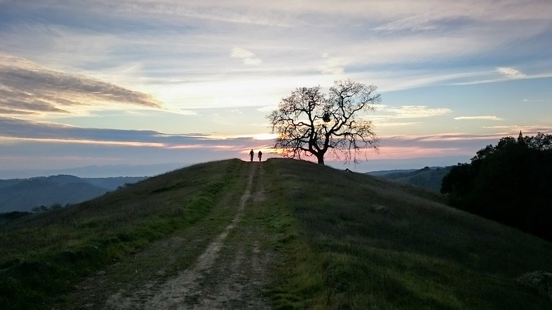
Silhouettes stand on Steer Ridge Road at sunset.
Silhouettes stand on Steer Ridge Road at sunset.
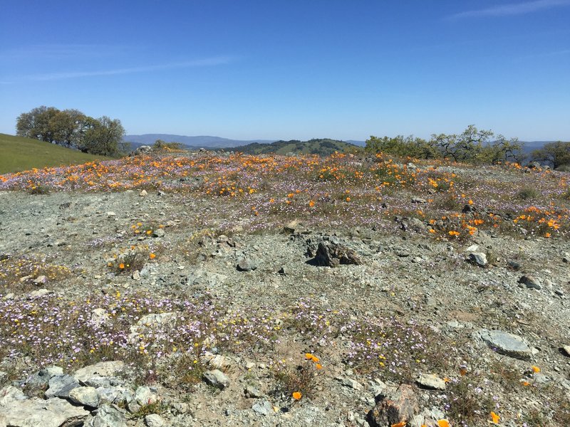
Wildflowers near Wilson Peak
Wildflowers near Wilson Peak
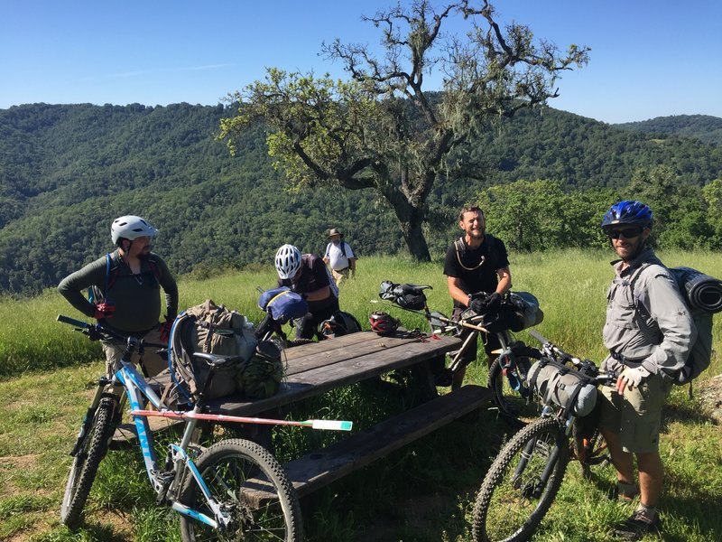
Time for a break after climbing for awhile. Oh yeah, great views abound.
Time for a break after climbing for awhile. Oh yeah, great views abound.
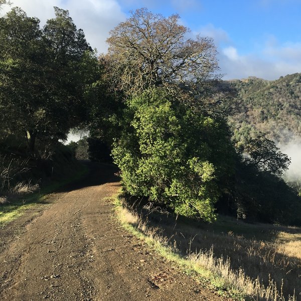
Start of uphill switchbacks
Start of uphill switchbacks