19.2 hr
Overview
As laid out, the ride starts at Embarcadero BART. It can be picked up anywhere along the San Francisco waterfront north of the Ferry Building.<br><br>The ride starts on the Embarcadero cycling lane but the adjacent wide sidewalk is legal if you want to ride farther from motorists at the expense of miles of dodging people.<br><br>The City wants you to turn left at North Point. It has a signal at every intersection that are each encountered on a red depending upon your luck. This ride opts to stay by the waterfront through Fisherman's Wharf. Also slow going because of all the people, but slightly faster and more interesting. Particularly for the contrast with where you are headed.<br><br>After Fisherman's Wharf, the ride is on paved paths all the way to Marin. Passes through Aquatic Park, Fort Mason, the Marina Green, and Crissy Field before climbing to and rolling the bridge. Sounds like a lot of pavement, but at about 7.5 miles, it is actually a relatively short part of the ride and beautiful.<br><br>From the bridge, head up Conzelman Road (mostly a path created by cordoning off the right side of the road). Spectacular views of the Golden Gate and bridge here, but with what is coming, you probably won't want to dally.<br><br>At the top, go around the roundabout and into and through the parking lot on the far side. Welcome to 10 miles of dirt to Muir Beach. Fairly straightforward until Highway 1 near the beach. Perhaps the only slightly tricky bit is to head right in the Tennessee Valley parking lot and look for the trail entrance dropping off to the left near the entrance to the lot.<br><br>Take a mid-ride break at Muir Beach after dropping Diaz Ridge. To skip, turn right on Highway 1. If you want the break, cross Highway 1 to Pacific Way and immediately look for and take the Kaasi Way to the left (a dirt trail despite sounding like a road). Follow this around, across the bridge, around, and then drop to the beach.<br><br>After relaxing next to the ocean, head back but take a left on the Muir Beach Trail, a boar
Trail Stats
67.0 km
1498 m
678 m
-69 m
—
Photos
Looking back at the trail that you just came up.
Looking back at the trail that you just came up.
Historic lodge on old railway line and stage coach junction.
Historic lodge on old railway line and stage coach junction.

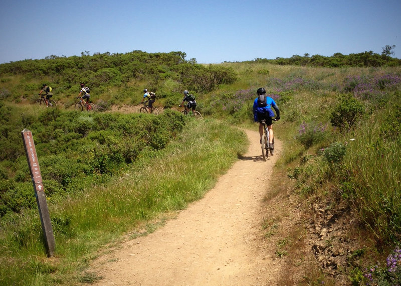
Most of the riding is manageable, but there are a few steep sections that most intermediate riders will have to walk.
Most of the riding is manageable, but there are a few steep sections that most intermediate riders will have to walk.
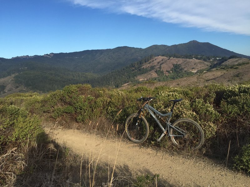
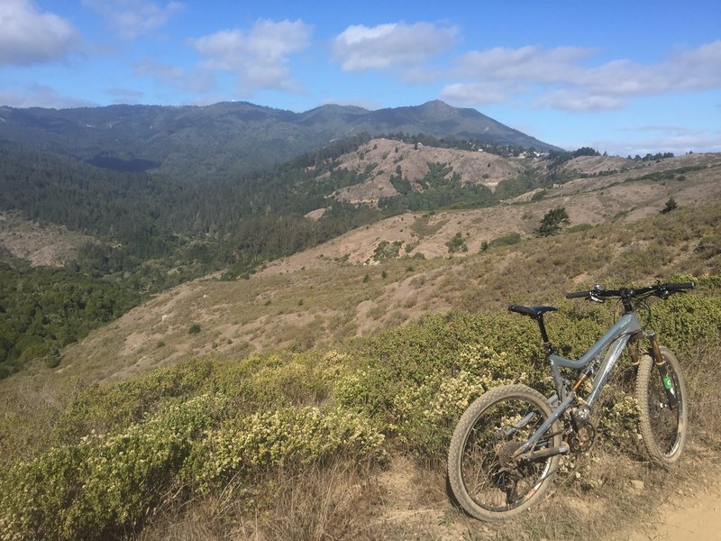
Great view of Mt. Tamalpais from the eastern end of Diaz Ridge.
Great view of Mt. Tamalpais from the eastern end of Diaz Ridge.
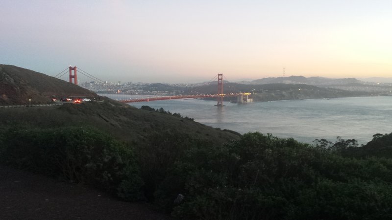
Golden Gate at dusk.
Golden Gate at dusk.
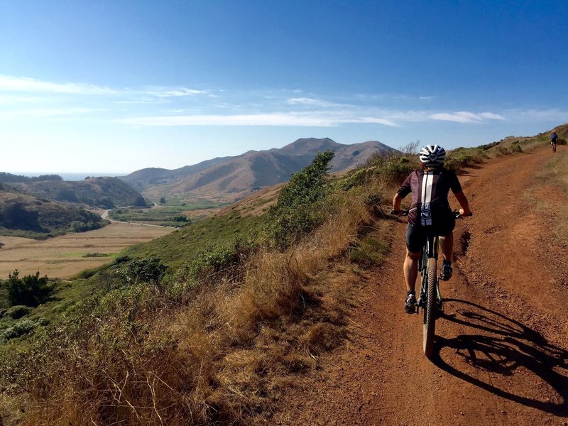
Great Views of the bay, SF, the Ocean along the way.
Great Views of the bay, SF, the Ocean along the way.
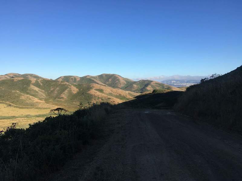
Section of the road looking over at Bobcat Trail.
Section of the road looking over at Bobcat Trail.
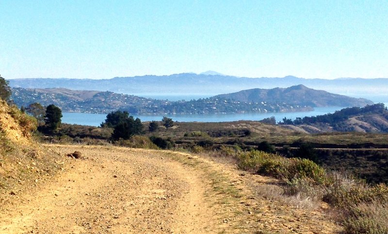
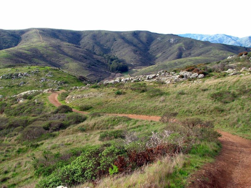
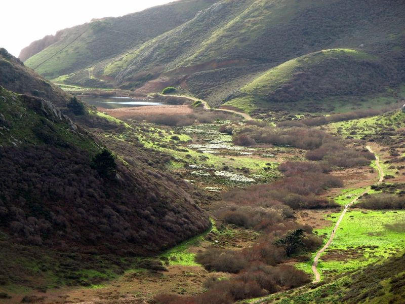
The Old Springs Trail extends along the hill towards Tennessee Valley
The Old Springs Trail extends along the hill towards Tennessee Valley
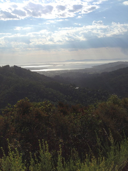
The city still so close yet a world away!
The city still so close yet a world away!
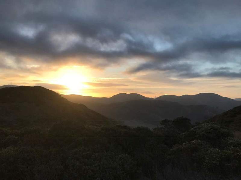
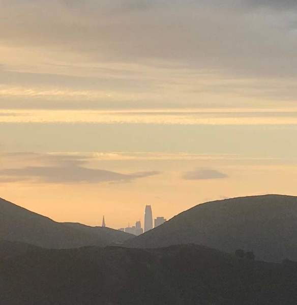
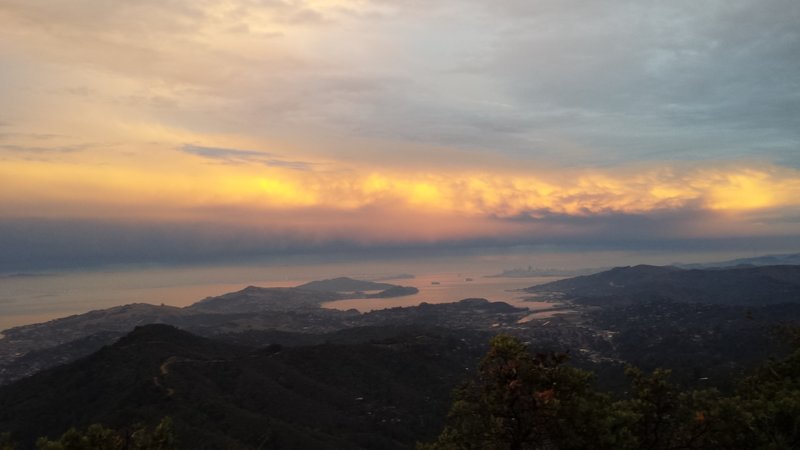
Going up Miwok and glancing at the sunrise (you can see the city on the right if you zoom in).
Going up Miwok and glancing at the sunrise (you can see the city on the right if you zoom in).
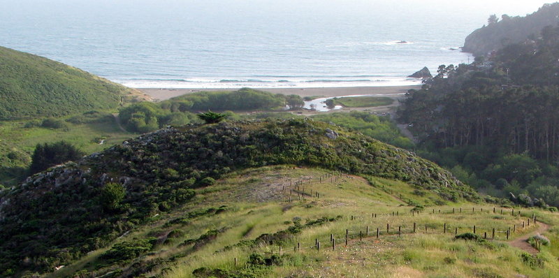
Muir Beach is quite a sight from the Coast View Trail.
Muir Beach is quite a sight from the Coast View Trail.
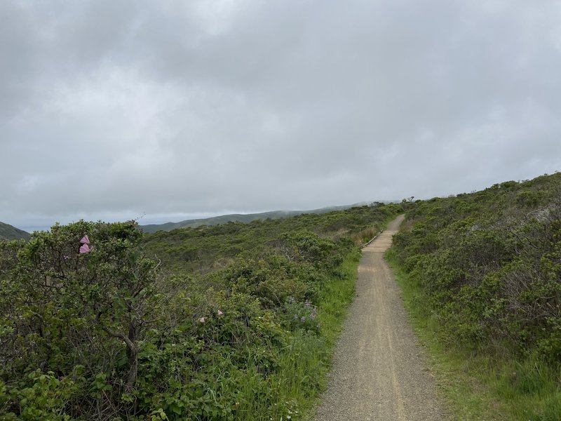
Miwok trail cruises gently down a dirt road with plenty of scenery to stare at.
Miwok trail cruises gently down a dirt road with plenty of scenery to stare at.
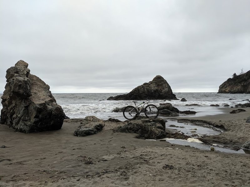
Muir Beach at the outlet of Redwood Creek on a summer day; nice mid-ride rest point.
Muir Beach at the outlet of Redwood Creek on a summer day; nice mid-ride rest point.
Mount Tam's endless views.
Mount Tam's endless views.
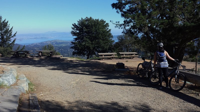
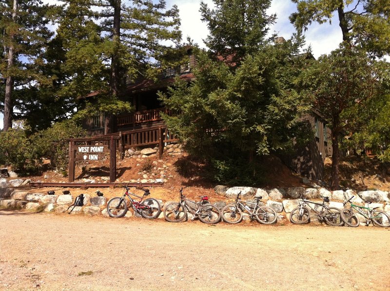
West Point Inn rest stop.
West Point Inn rest stop.
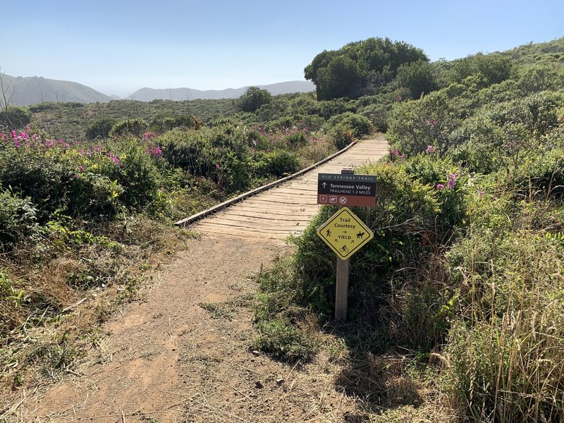
The start of the Old Springs Trail—fun trail with gorgeous views of the Tennessee Valley.
The start of the Old Springs Trail—fun trail with gorgeous views of the Tennessee Valley.
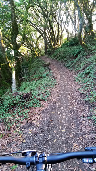
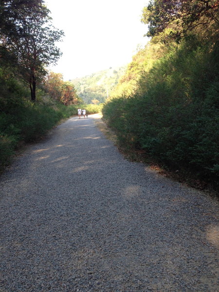
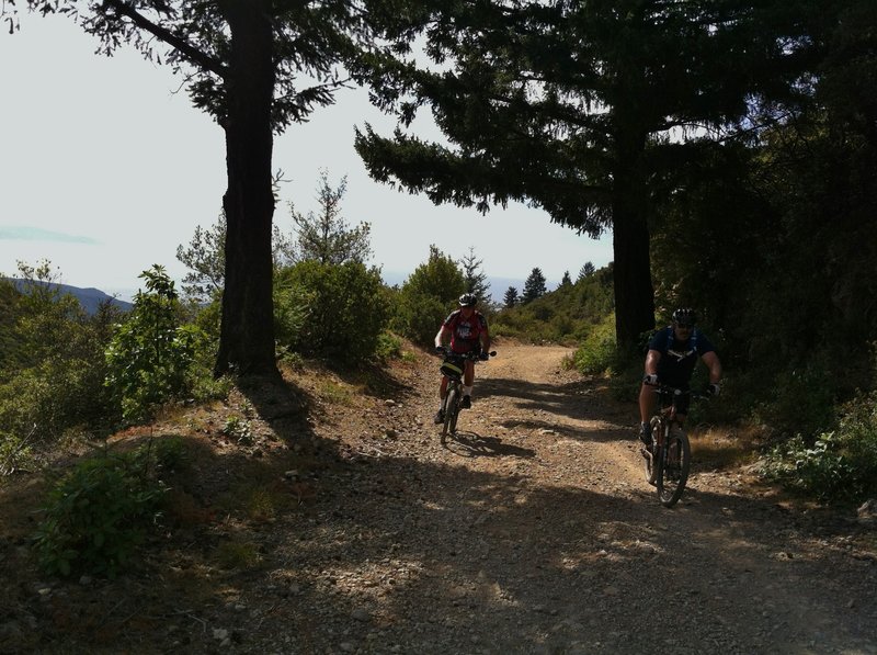
The Coast View Trail is covered by a canopy of trees in this area.
The Coast View Trail is covered by a canopy of trees in this area.
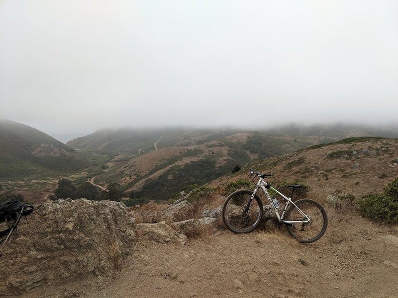
One of the nicer stops on Old Springs; get your fog while you can as it is going away.
One of the nicer stops on Old Springs; get your fog while you can as it is going away.
Old Spring Trail, Marin Headlands
Old Spring Trail, Marin Headlands
View looking north towards Mt. Tam on the right, and Muir woods in the bottom of the valley to the left from Diaz Ridge.
View looking north towards Mt. Tam on the right, and Muir woods in the bottom of the valley to the left from Diaz Ridge.
Lower portion of Diaz Ridge trail with Muir Beach in the background
Lower portion of Diaz Ridge trail with Muir Beach in the background
Tennessee Valley from Old Spring Trail.
Tennessee Valley from Old Spring Trail.
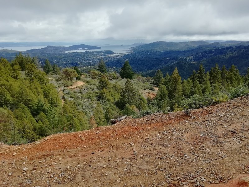
The view of San Francisco on the climb up Mt Tam.
The view of San Francisco on the climb up Mt Tam.
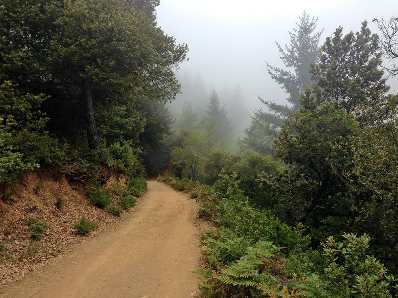
Mount Tamalpais fog.
Mount Tamalpais fog.
At the Miwok Trail junction
At the Miwok Trail junction
Approaching Mount Tam summit on Old Railroad Grade.
Approaching Mount Tam summit on Old Railroad Grade.
Beautiful view of the valley helps the climb.
Beautiful view of the valley helps the climb.

Not a bad view eh?
Not a bad view eh?