7.3 hr
Overview
The ride starts from the free parking lot near the park police and fire headquarters but passes by several other trailheads.<br><br>The Ten Hills Trail is a roller-coaster ride on a wide, smooth service road along the boundary next to neighborhoods. The hills are small but a few are steep, so keep your momentum going on this warm-up section. <br><br>At the end, it takes a sharp left, turning to the north, to start the Brandon Trail as it descends to the Proctor Staging area. This is a relatively narrow, fun section of trail all the way to the golf course. When you reach the pond you may notice or hear plopping golf balls - this is the practice range. The golf course has restrooms and refreshments. Continue to the north end of the parking lot to rejoin the Brandon Trail.<br><br>This section is a steady climb on a wide fire road for 2.2 miles at about a 6.6% grade. It's well shaded and doesn't have the steep sections like those on Live Oak Trail. The "top" is at the junction with the Towhee Trail, where you'll find a rest bench and ridgetop views. Stay on Brandon a short distance to the Marciel Road trailhead and junction with the Upper Redtail Trail. <br><br>This upper section is singletrack as it runs parallel to Marciel Road to the Marciel Gate trailhead. Past this, Lower Redtail Trail is a service road as it drops steeply down a canyon to the junction with Grass Valley Trail. Turning left and heading south, Brandon Trail is rejoined near the stone bridge. Head up Brandon as it winds its way back to the Marciel Rd trailhead under lots of shade on gentle grades.<br><br>Stay on Brandon to the now familiar junction with the Towhee Trail which leads down to the campgrounds on a wide, smooth fire road. Once in the campground, it becomes a narrow, multi-use trail so heads-up for hikers and horses. <br><br>Continue to the junction with the Honker Bay Trail, a wide road that drops steeply to the Lake Chabot shoreline winding around Honker Bay to the bridge junction of Live Oak Trail and Cameron Loop Trail. Follow Camer
Trail Stats
25.1 km
600 m
307 m
70 m
—
Photos
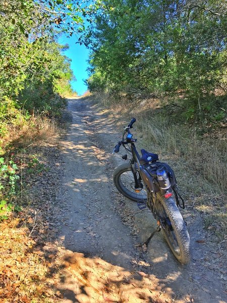
Redtail fire road "Trail" near Cottontail Trail junction.
Redtail fire road "Trail" near Cottontail Trail junction.
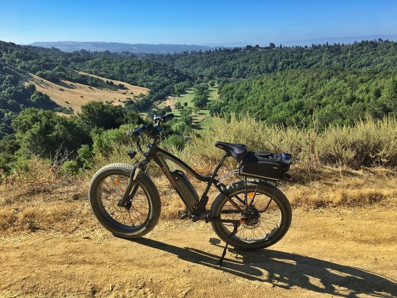
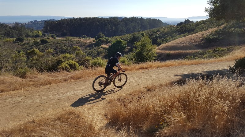
Overlooking Redwood Canyon
Overlooking Redwood Canyon
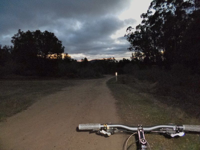
Brandon Trail twilight.
Brandon Trail twilight.
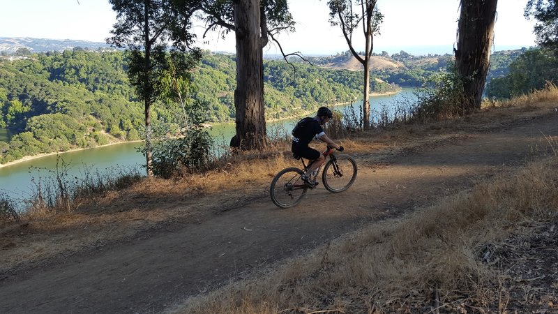
Upper Honker Bay Trail.
Upper Honker Bay Trail.
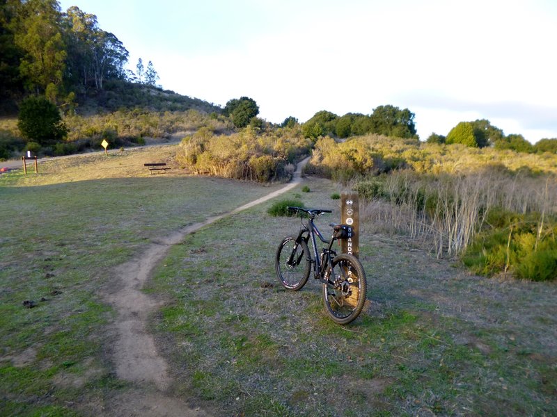
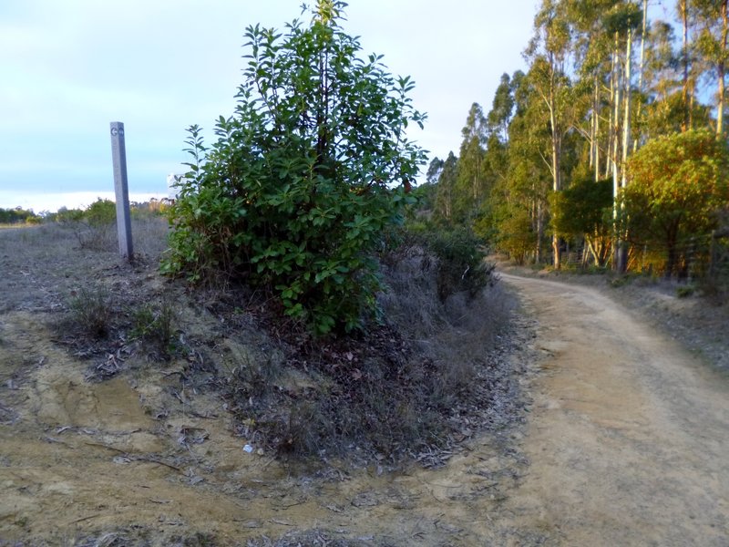
Redtail Trail leadoff from Brandon Trail
Redtail Trail leadoff from Brandon Trail
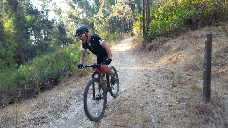
Singletrack
Singletrack
Lower Towhee Trail.
Lower Towhee Trail.
Upper Towhee Trail.
Upper Towhee Trail.