3.9 hr
Overview
Starting from Inspiration Point, the loop can be ridden in either direction, but counterclockwise is recommended for first timers since it begins with an easy paved section with nice views. The Nimitz Way Trail starts at the gate and past the restrooms with a short climb to a viewpoint to the west over S.F. Bay. The first couple of miles is an easy roll and is popular with hikers, joggers, and dog walkers. You'll pass through a shady grove of eucalyptus trees just before reaching the boundary between Tilden and Wildcat Canyon Regional Parks. <br><br>The Conlon Trail will be a sharp left up a steep gravel road to a viewpoint looking east toward Mt. Diablo. It levels off fairly quickly, swinging around towards the northwest, and just before reaching a cattle gate; look for the viewpoint bench on the hill to the left (west). This is one of the best S.F. Bay panoramas in the area. <br><br>Continue past the gate, where the road isn't regularly maintained so it rides more like a singletrack but is rough and beat-up from grazing cattle. After a brief climb, the trail is a downhill run over an open ridge-top with views to the west and north. It gets steeper towards the bottom with some sharp turns and you'll need to watch your speed as there's another gate at the Wildcat Creek Trail junction.<br><br>Keep left on Wildcat Creek Trail, which joins the Loop Road back to Tilden Park. The Lone Oak Trailhead will be on the left and is the start of the Wildcat Gorge Trail. The Meadows Canyon Trail also starts here and is an easier option for returning to Inspiration Point.<br><br>The Wildcat Gorge Trail immediately crosses a creek. It is usually rideable with steep banks and a rooty section to get up the other side. This section of the trail is more singletrack, so watch for poison oak along edges. The trail widens to doubletrack once you're in the shaded canyon and there's a short rocky climb followed by another section with exposed roots. It's a shady creek ride all the way to the junction with the Curran Trail. <br><br>Conti
Trail Stats
14.1 km
252 m
348 m
136 m
—
Photos
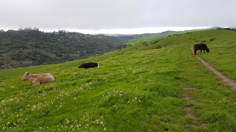
Conlon Trail overlooking Wildcat Canyon.
Conlon Trail overlooking Wildcat Canyon.
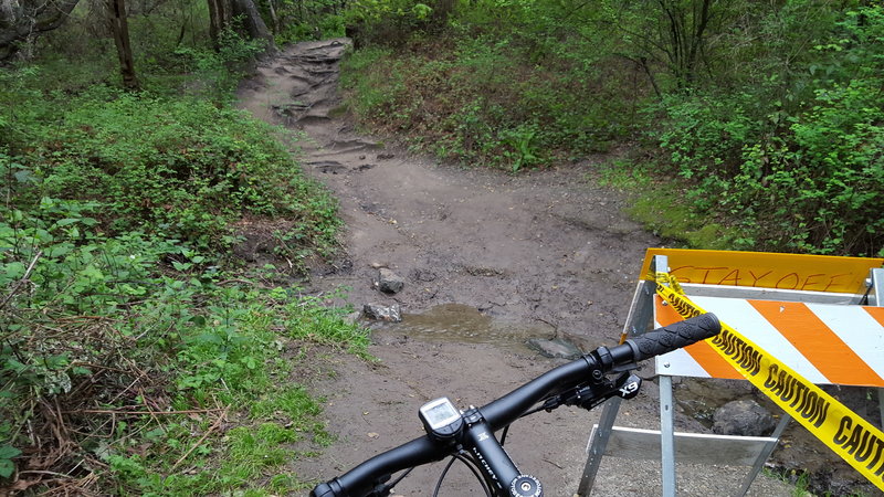
Wildcat Gorge Trail creek crossing.
Wildcat Gorge Trail creek crossing.
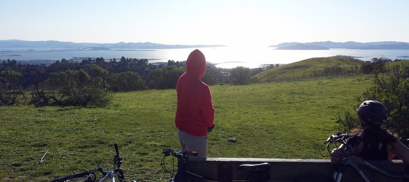
San Francisco Bay from Wildcat Canyon Regional Park.
San Francisco Bay from Wildcat Canyon Regional Park.
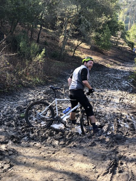
If it's super muddy, don't pick the middle line!!
If it's super muddy, don't pick the middle line!!