7.8 hr
Overview
Practically a grand tour of this small regional park, this is a series of loops, including one into the neighboring national wildlife refuge with several return points for shorter or easier rides.<br><br>Starting from the visitor center parking area, take the Chochenyo Trail heading into the marshlands to the east. The marsh trails are perfectly flat so great for kids and casual riders. This ride includes an out-and-back detour on the D.U.S.T. Trail and Willows Trail to explore other parts of the marsh area. <br><br>Halfway into the Chochenyo Trail is a fenced-in native American (Ohlone shellmound) archaeological site that the trail loops around. The Tuibun Trail is a paved trail that runs parallel to the park entrance road returning towards the visitor center. Take the Muskrat Trail - singletrack that forks to the right returning to Chochenyo Trail to complete the marshland loop.<br><br>Backtrack a short distance to Lizard Rock Trail, which connects Chochenyo Trail to the paved Bayview Trail. This trail loops completely around the Coyote Hills from the marsh side to the bay side. Follow Bayview Trail counterclockwise and enjoy the views overlooking the salt ponds and SF Bay beyond. At the southern end, continue south on Apay Way, a dirt road with a couple viewpoint overlooks along the way. Turn around at any point making a right on Bayview Trail then a quick right on the Meadowlark Loop. <br><br>This loop returns to Bayview Trail and the No Name Trail, which heads directly west into the bay through the Don Edwards SF Bay National Wildlife Refuge. This is a straight-arrow levee road that runs along old salt-evaporation ponds ending at the north-south running Shoreline Trail. Head north on Shoreline Trail - be aware that the area is exposed to winds that can be strong especially in the afternoons and usually against the direction you're riding.<br><br>Shoreline Trail merges with the paved Alameda Creek Trail that turns east back towards Coyote Hills. In a little more than a mile, take the Pelican Trail going righ
Trail Stats
30.2 km
184 m
78 m
1 m
—
Photos
Bayview Trail adjacent to Quarry Staging Area.
Bayview Trail adjacent to Quarry Staging Area.
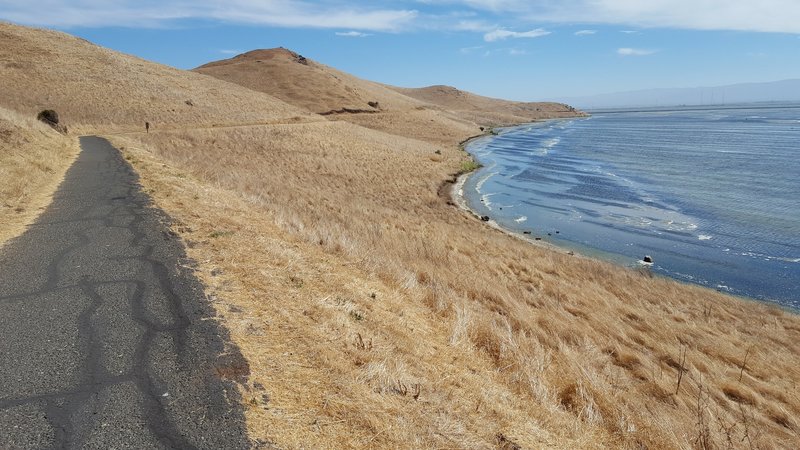
Looking back towards the hills as you ride into the bay.
Looking back towards the hills as you ride into the bay.
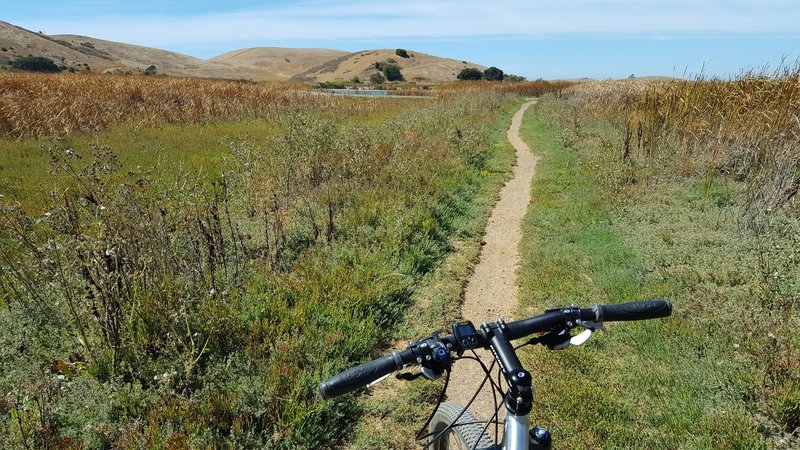
Soapwort Trail photo taken from Coyote Hills trail overlook facing northwest.
Soapwort Trail photo taken from Coyote Hills trail overlook facing northwest.
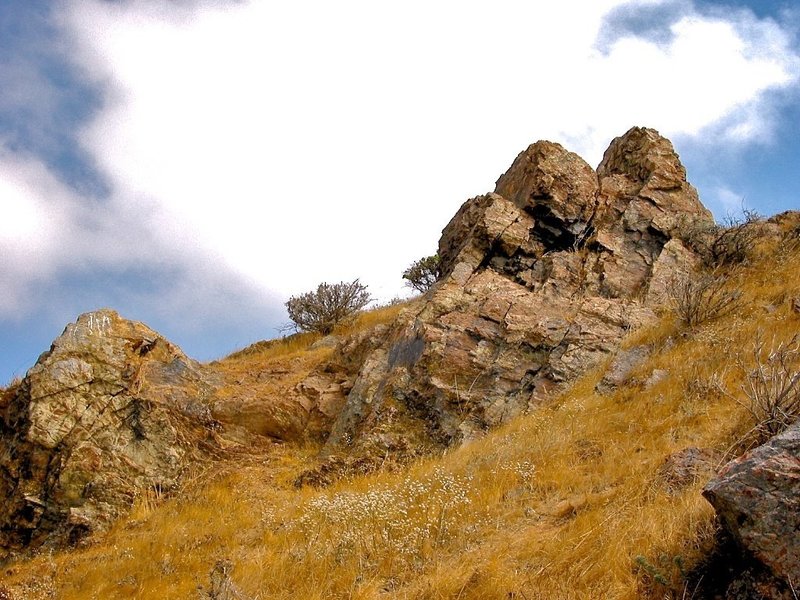
Coyote Hills rocks.
Coyote Hills rocks.

Red Hill Trail looking south at Nike Trail junction.
Red Hill Trail looking south at Nike Trail junction.
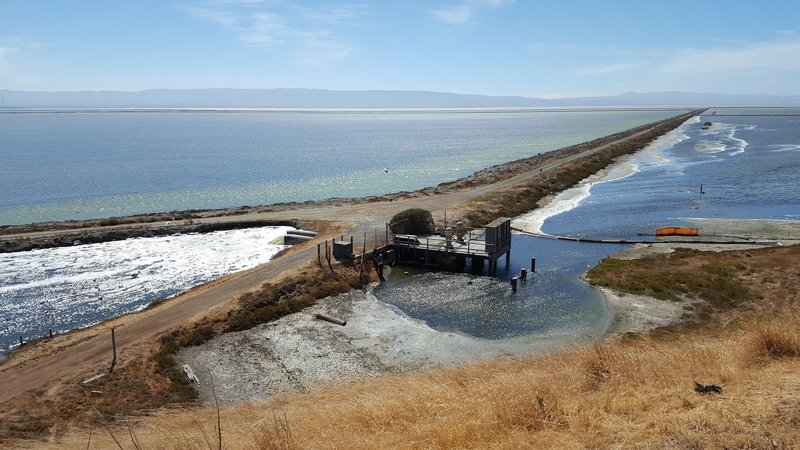
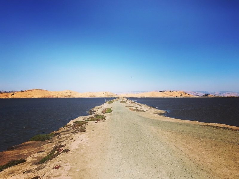
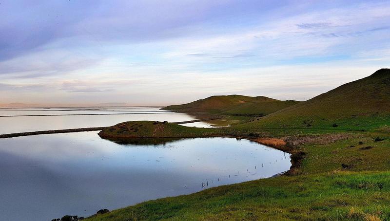
Looking west over No Name Trail
Looking west over No Name Trail
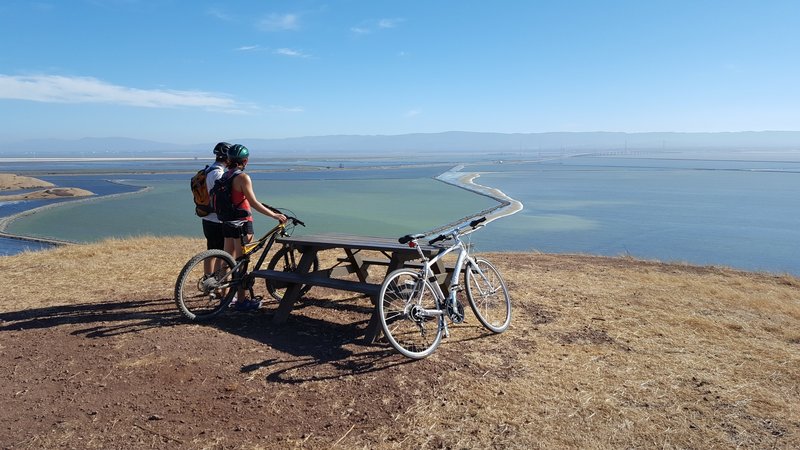
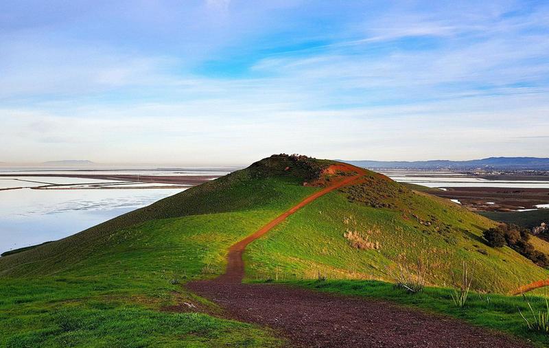
Viewpoint at the end of Red Hill Trail.
Viewpoint at the end of Red Hill Trail.
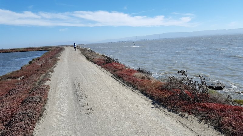
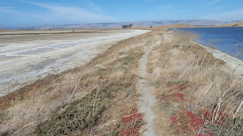
Shoreline Trail
Shoreline Trail
Muskrat Trail heading towards marsh.
Muskrat Trail heading towards marsh.
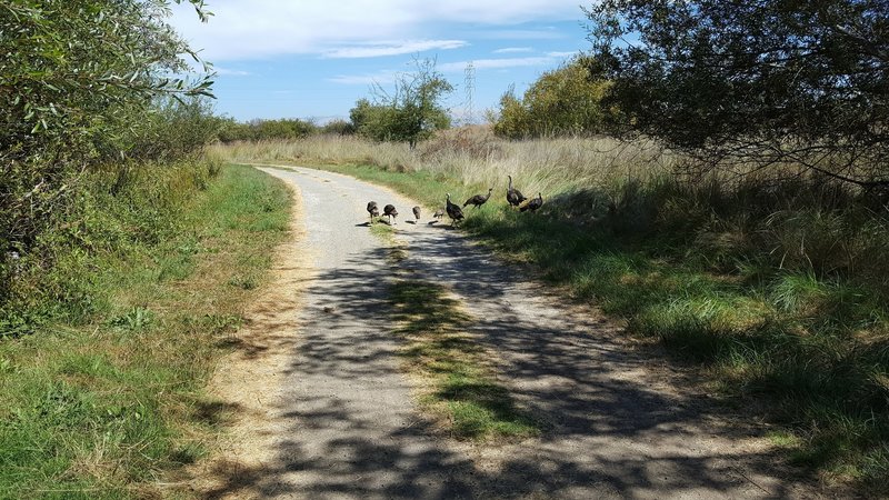
Turkey trot on Willows Trail
Turkey trot on Willows Trail
Bayview Trail heading south.
Bayview Trail heading south.
Pelican Trail
Pelican Trail
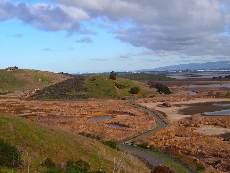
From No Name Trail south to Apay Way in distance.
From No Name Trail south to Apay Way in distance.
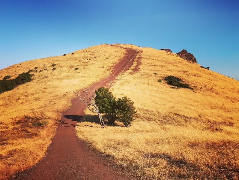
Red Hill trail.
Red Hill trail.
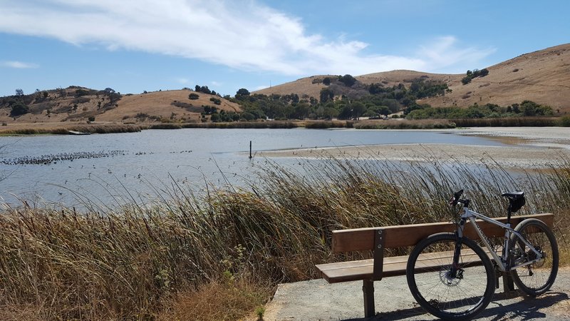
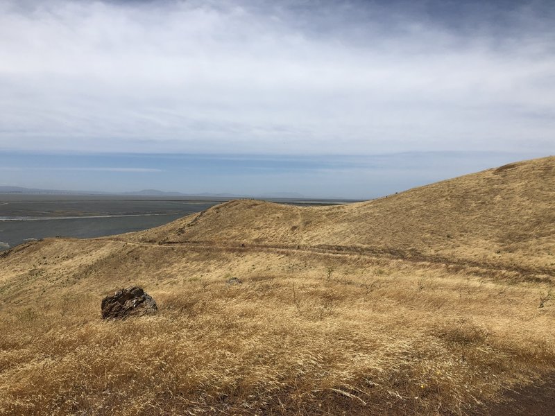
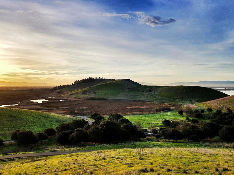
View across Main Marsh towards Coyote Hills.
View across Main Marsh towards Coyote Hills.
Coyote Hills Regional Park.
Coyote Hills Regional Park.
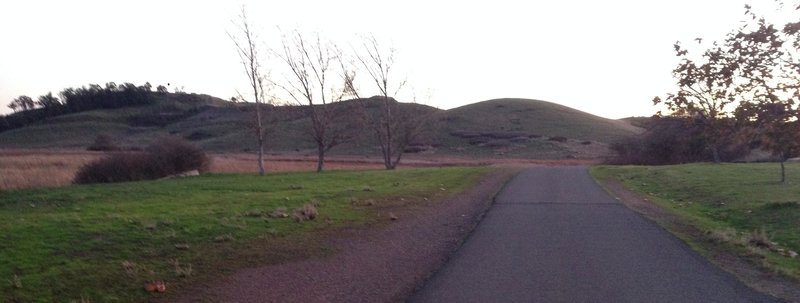
Start of my 7:30am ride before work. Stunning morning.
Start of my 7:30am ride before work. Stunning morning.
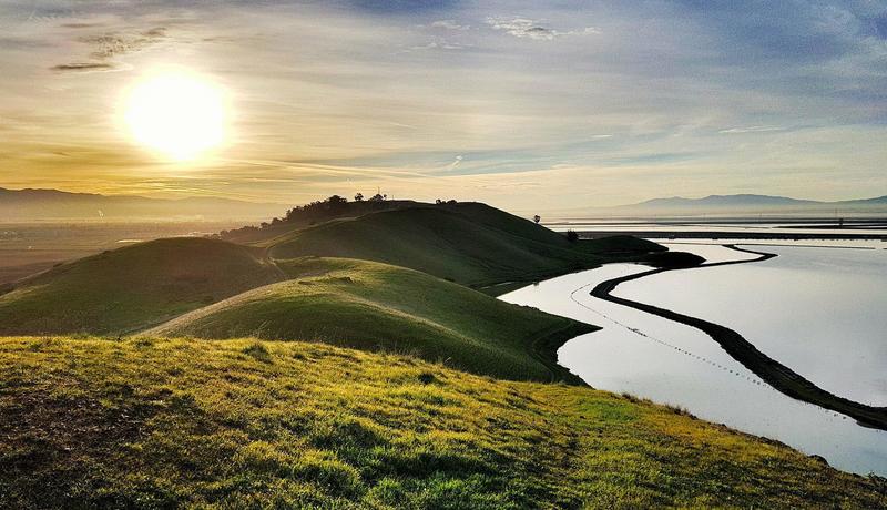
Had to take a break to take in this scene of the sunrise over the hills.
Had to take a break to take in this scene of the sunrise over the hills.
More from my 7:30am ride before work.
More from my 7:30am ride before work.
7:30am view of the sun coming up. Another stunning ride before work.
7:30am view of the sun coming up. Another stunning ride before work.