6.1 hr
Overview
Start at the parking lot (elevation 1,000 ft) across the road from the Park Headquarters Visitor Center. Head north on the North Escape road for a short distance to hang a left toward Gazos Creek Road and start the first climb that tops out just past the intersection with the Middle Ridge Road.<br><br>Riders will enjoy almost two miles of descending through the towering trees before the next climb starts casually up. At six miles, turn right on Johansen Road and continue up through the steepest climb of the ride. At the next intersection, turn right onto Middle Ridge Road. This is the highest point of the loop at around 2,000 ft.<br><br>Middle Ridge Road would be pretty casual except for the steep descent that rushes riders down to the Ocean View Summit (elevation 1,685 ft). Stop here and enjoy the view out to the Pacific Ocean before completing a short climb before the rest of the descent. Turn left on Gazos Creek Road to return to the parking area.
Trail Stats
20.8 km
525 m
625 m
262 m
—
Photos
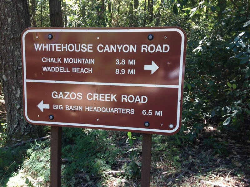
At the intersection of Gazoz Creek Road and Johansen Road
At the intersection of Gazoz Creek Road and Johansen Road
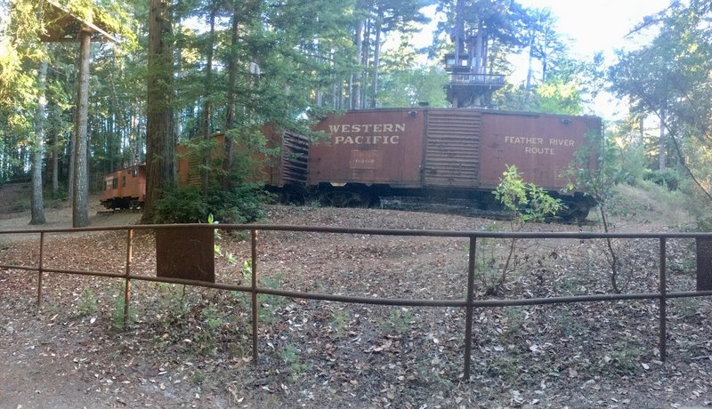
Rail cars in the middle of the park?
Rail cars in the middle of the park?
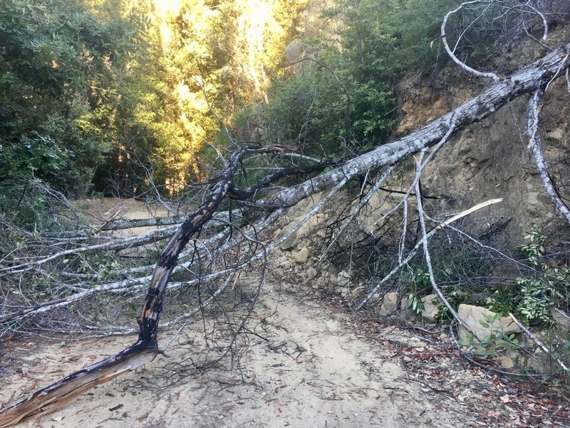
Fallen tree on Gazos Creek Road, easily passable though
Fallen tree on Gazos Creek Road, easily passable though
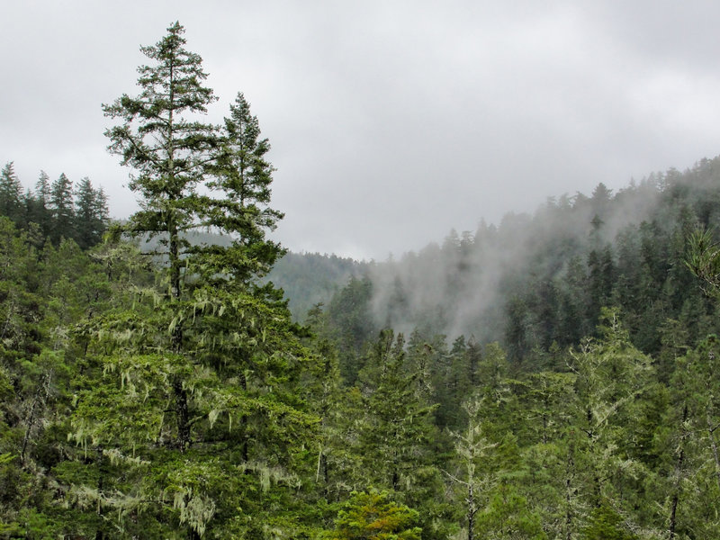
Fog drifts through the mountains on a rainy day.
Fog drifts through the mountains on a rainy day.
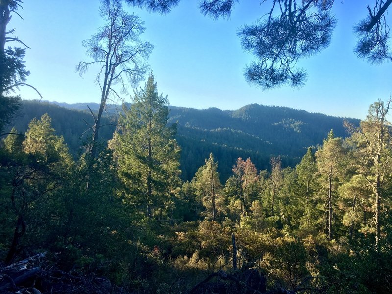
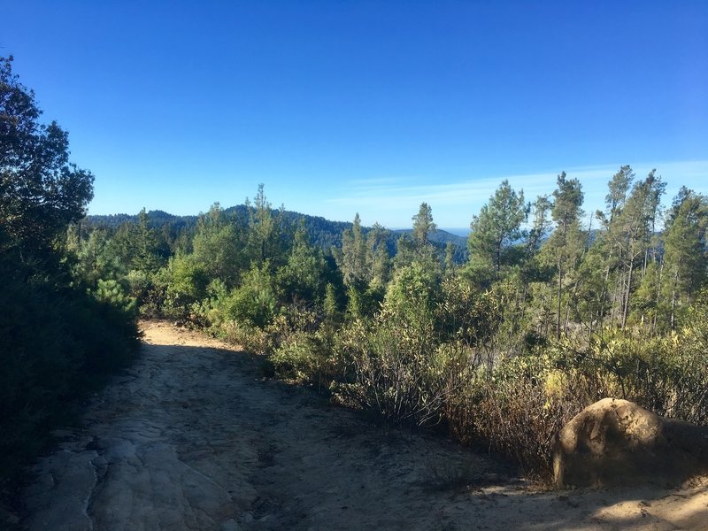
Ridge views from Gazos Creek Road
Ridge views from Gazos Creek Road
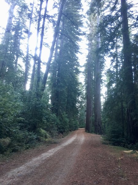
Riding in the shadow of redwoods on Gazos Creek Road
Riding in the shadow of redwoods on Gazos Creek Road
Rocky descent down Middle Ridge Road
Rocky descent down Middle Ridge Road
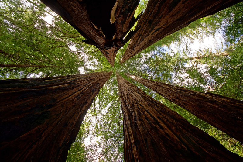
It's hard to beat a canopy of redwood trees!
It's hard to beat a canopy of redwood trees!