3.8 hr
Overview
Skyline is located on good ol' BLM land approximately 32 miles east of Visalia off Highway 198 in Three Rivers. Three Rivers is about 213 miles north of Los Angeles and 266 miles south of San Francisco and is the gateway to Sequoia National Park. The land was apparently acquired from private landowners in the late 70s through a land exchange and today is open to mountain bikers, hikers and equestrians with no public vehicular access. Most of the equestrians and hikers stick to the fire roads as the singletrack is narrow, the terrain is steep and the trees and vegetation can be dense in spots.<br><br>A popular descent after the four mile climb up the main fire road and 2,500 feet of elevation gain is the Creek Trail to Octupus, Serpent, or to Chutes and Ladders. All of these trails were named by local riders and are fitting once you ride them.<br><br>The trail takes you along Salt Creek with multiple creek crossings, technical rocky sections and logs to clear, while Chutes and Ladders drops you out on an old fire road turned singletrack that is fast and steep. Afterwards, your arms will be burning and brakes smoking. This eight mile route feels more like ten or twelve. There are many other trails to explore. <br><br>If you live in California and are looking for some place new to ride, or are just traveling through, take a detour from Highway 99 and check out Skyline, you wont be disappointed.<br><br>To get to Skyline exit Highway 198 from Highway 99 heading east through Visalia to Three Rivers. After passing through Three Rivers, take a right on Skyline Drive and drive up the narrow winding road, about a mile or so, until it ends and park on the side of the road at the green gate.<br><br>This is the trailhead where youll start and finish. Most riders take the fire road up and then take one of the many trails that branch off from the fire road. Route finding can be difficult your first time so grab a map or contact a local bike shop for more information.A trail map of the area is available on Central California O
Trail Stats
11.3 km
585 m
904 m
378 m
—
Photos
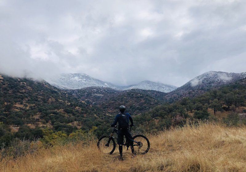
Great views! Especially after a low snow storm.
Great views! Especially after a low snow storm.
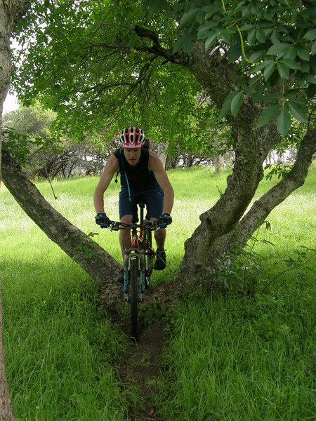
The trail goes through a couple tress like this.
The trail goes through a couple tress like this.
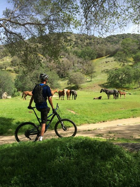
Keep an eye out for the horses.
Keep an eye out for the horses.
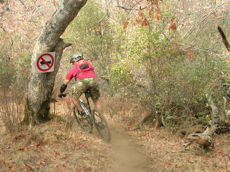
Fun sign, but yeah, it never snows enough to sled.
Fun sign, but yeah, it never snows enough to sled.
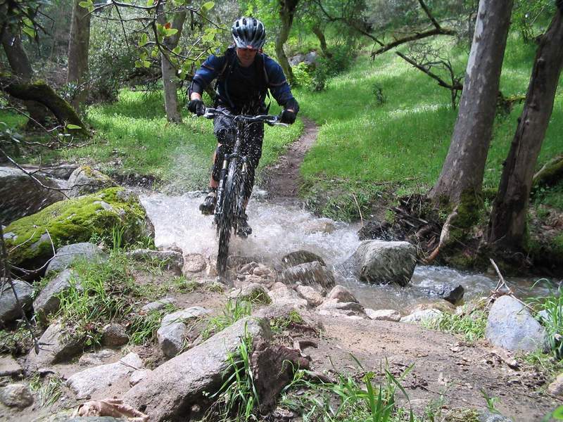
Crossing of Salt Creek.
Crossing of Salt Creek.