10.7 hr
Overview
Registration is now open. Membership is highly encouraged. JOIN or RENEW here: <a href="https://www.memberleap.com/members/memberinfo/alt_entry1.php?org_id=SDMB" rel="nofollow noopener noreferrer" target="_blank">memberleap.com/members/memb…</a><br><br>The SDMBA team is hard at work planning the 2019 edition with some surprises including the first ever "HALF ARCH." <br><br>Riders will have the option to do the original long route as they meander almost 50 miles and 5000 feet of climbing from San Elijo Park - to Green Flash Brewing experiencing a variety of terrain through the open spaces of central San Diego County.<br><br>OR<br><br>To take part in the approximlately 20 mile "HALF ARCH" with about 2500 feet of climbing from Black Mountain Open Space Park to Green Flash Brewing. Still plenty of climbing in this new addition to the event! <br><br>*The Arch Ride is a serious endeavor whether you choose the Full or Half. Intermediate riding skills and appropriate conditioning are a must. Train hard and often so that you can enjoy the day. We won't run out of beer at Green Flash but we want you there in time to enjoy your hard earned fun! <br><br>Full Arch Ride $95.00<br>Half Arch Ride $75.00<br><br>Event Tshirts $15.00<br><br>Start logging those miles now. Share your progress #archride2019<br><br>VOLUNTEERS: It takes a tiki village to run this event. If you would like to volunteer to help please email volunteer@sdmba.com<br><br>Proceeds from this fundraising bike ride will go to some of our conservation partners that help preserve and protect our open spaces. Without these conservation partners we would not have these natural places to ride. Funds will also be directed to further SDMBA's mission to provide networks of sustainable trails and bike parks, and provide mountain bikers and other non-motorized trail users with recreational, athletic and educational opportunities.<br><br>If you have any questions regarding the event, please email archride@sdmba.com
Trail Stats
38.1 km
684 m
379 m
16 m
—
Photos
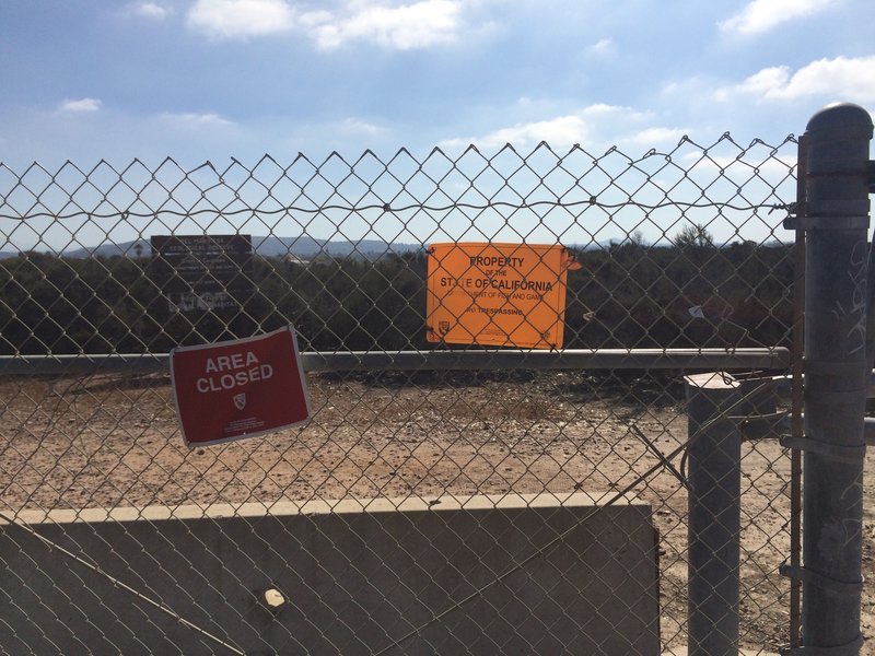
Closed area - Tunnel 2 & 3.
Closed area - Tunnel 2 & 3.
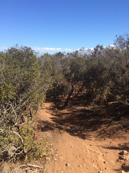
Singletrack.
Singletrack.
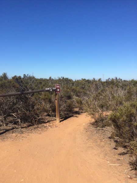
Follow the signs.
Follow the signs.
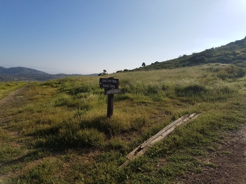
Glider Point Trailhead for Lilac Canyon Trail and Glider Point Trail.
Glider Point Trailhead for Lilac Canyon Trail and Glider Point Trail.
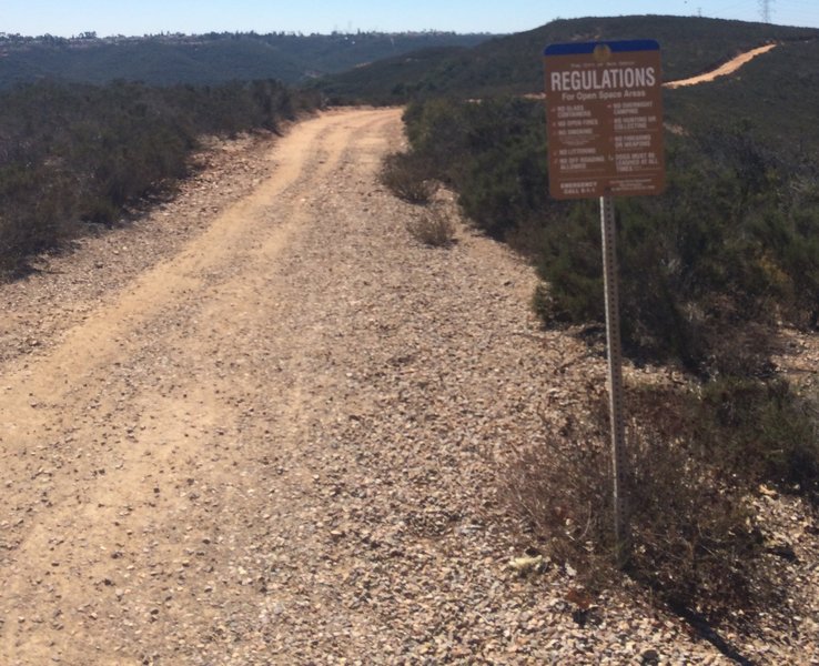
Fire Road.
Fire Road.
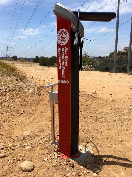
Tire pump and other tools available on the trail.
Tire pump and other tools available on the trail.
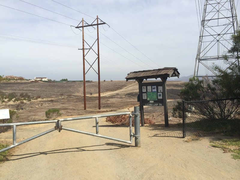
Parking and trailhead.
Parking and trailhead.
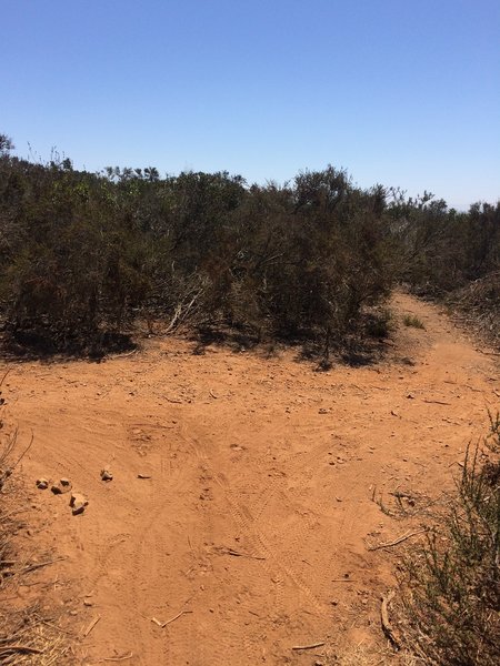
Intersection where you can go North on the East Rim or turn south to make it a loop. Southeast trail is closed.
Intersection where you can go North on the East Rim or turn south to make it a loop. Southeast trail is closed.
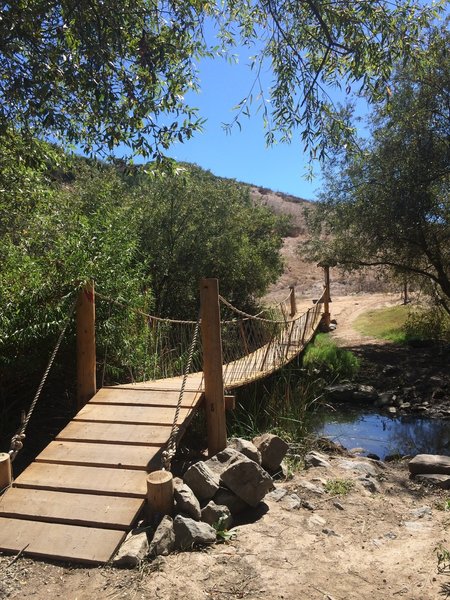
Wagon Wheel crossing.
Wagon Wheel crossing.
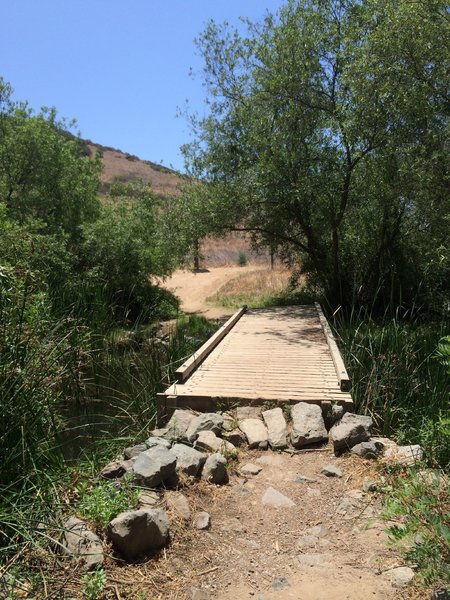
Wagonwheel creek crossing.
Wagonwheel creek crossing.
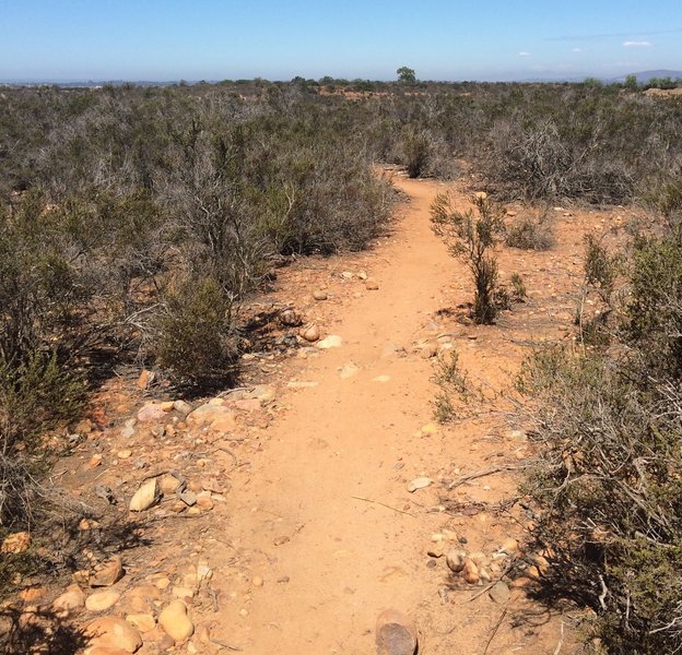
Singletrack.
Singletrack.
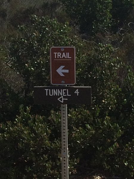
Trailhead for Tunnel 4.
Trailhead for Tunnel 4.
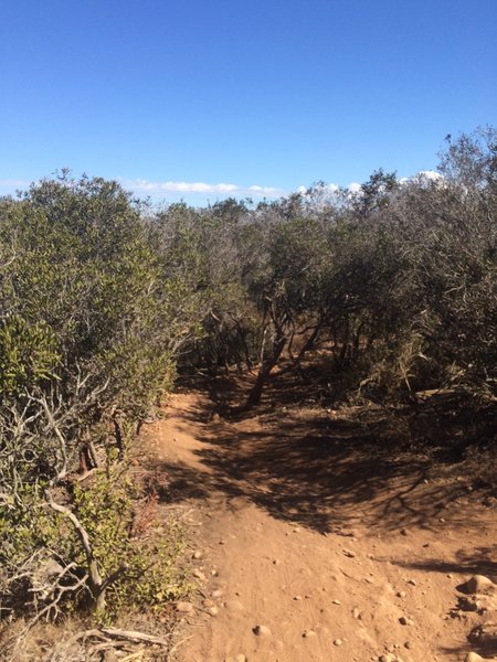
Singletrack through the underbrush.
Singletrack through the underbrush.
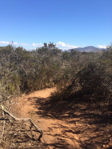
Singletrack at Del Mar Mesa Preserve.
Singletrack at Del Mar Mesa Preserve.
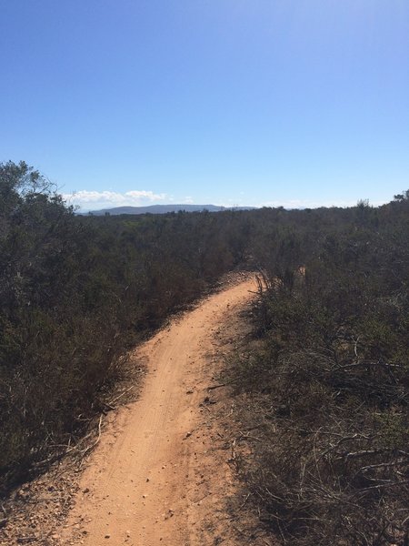
Smoother section of singletrack.
Smoother section of singletrack.
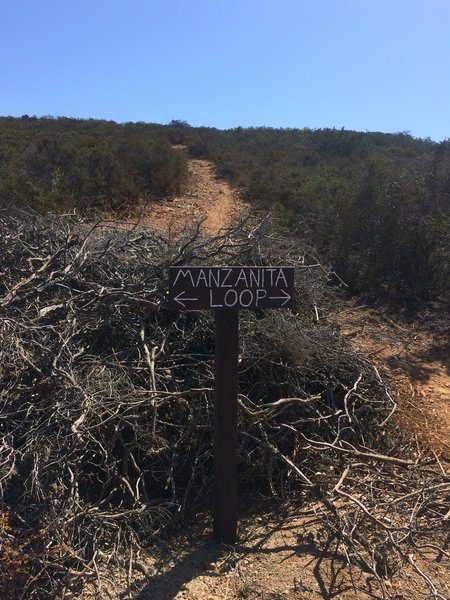
Sign showing the new Manzanita Trail.
Sign showing the new Manzanita Trail.
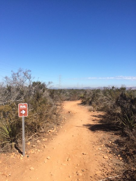
Trailhead.
Trailhead.
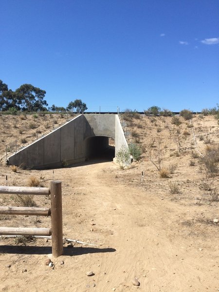
Appendix Trailhead.
Appendix Trailhead.
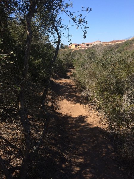
Appendix Trail.
Appendix Trail.

Appendix Trail at center of photo.
Appendix Trail at center of photo.
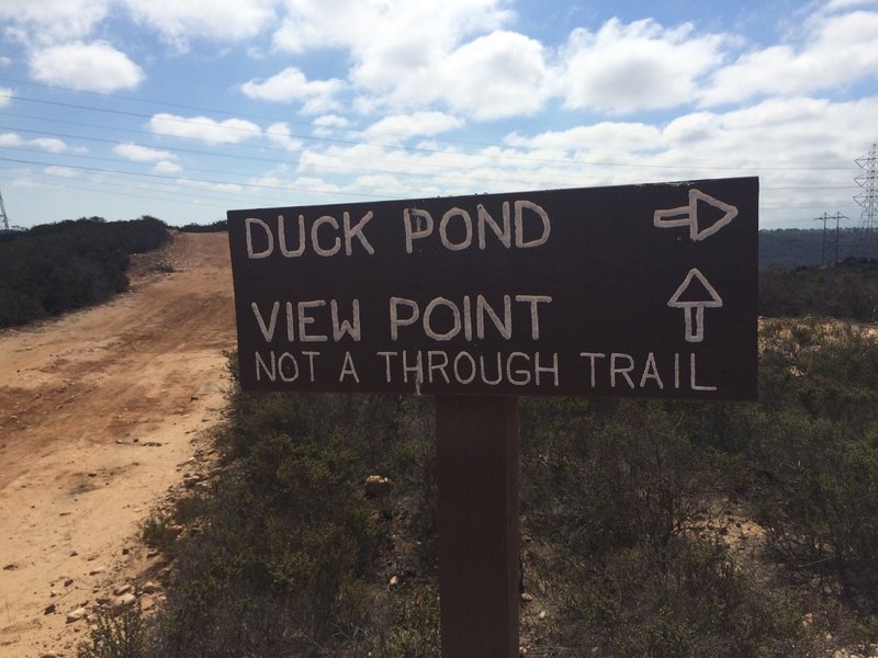
Sign.
Sign.
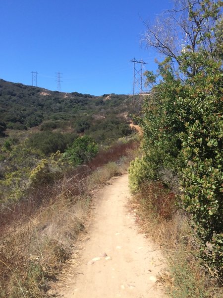
The trail connects to the bottom of Cobbles Trail.
The trail connects to the bottom of Cobbles Trail.
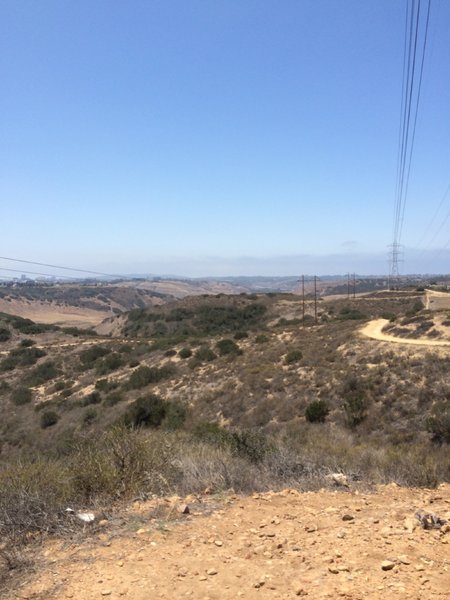
Top of Del Mar Mesa heading back to Penasquitos Canyon.
Top of Del Mar Mesa heading back to Penasquitos Canyon.
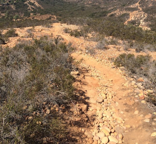
Loose rock.
Loose rock.
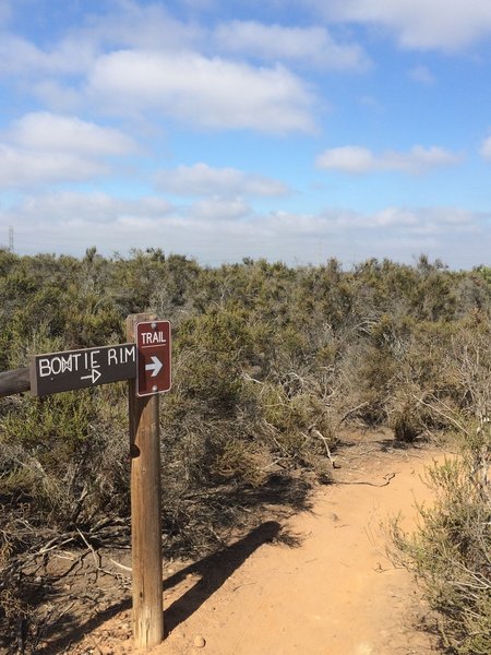
Trailhead for Bowtie Rim Trail.
Trailhead for Bowtie Rim Trail.
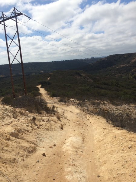
Duck Pond Trail a.k.a. "the Shitz."
Duck Pond Trail a.k.a. "the Shitz."
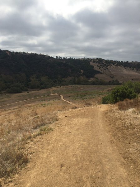
Steep, fast downhill.
Steep, fast downhill.
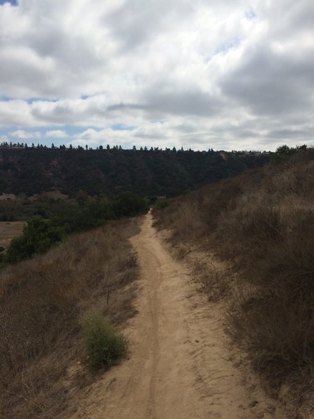
Fast, flowing singletrack.
Fast, flowing singletrack.
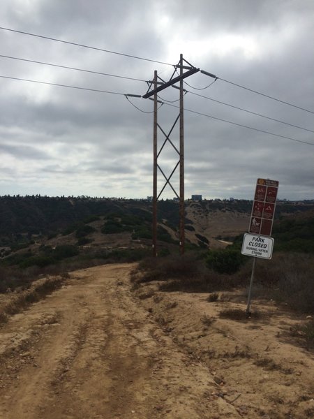
Side Hill at the top.
Side Hill at the top.
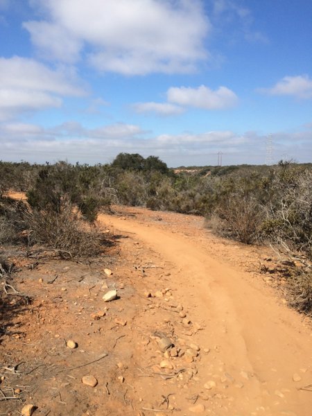
Bowtie Rim singletrack.
Bowtie Rim singletrack.
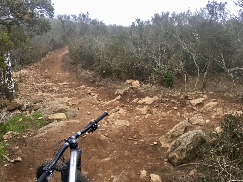
This particular intersection is on a DH section of trail, and while marked, it is easy to miss at speed. Turn right to depart the singletrack for the fire road to the summit.
This particular intersection is on a DH section of trail, and while marked, it is easy to miss at speed. Turn right to depart the singletrack for the fire road to the summit.
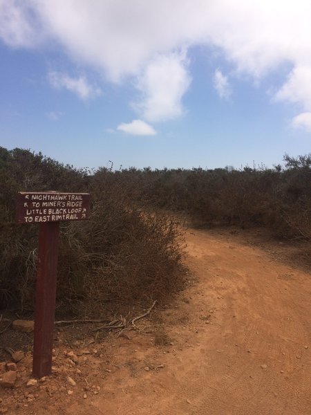
One of many signs that point to side trails
One of many signs that point to side trails
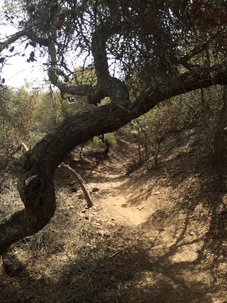
Tunnel 5
Tunnel 5
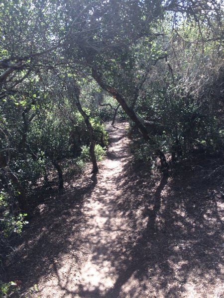
Tunnel 4.
Tunnel 4.
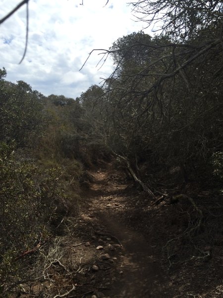
Tunnel 5.
Tunnel 5.
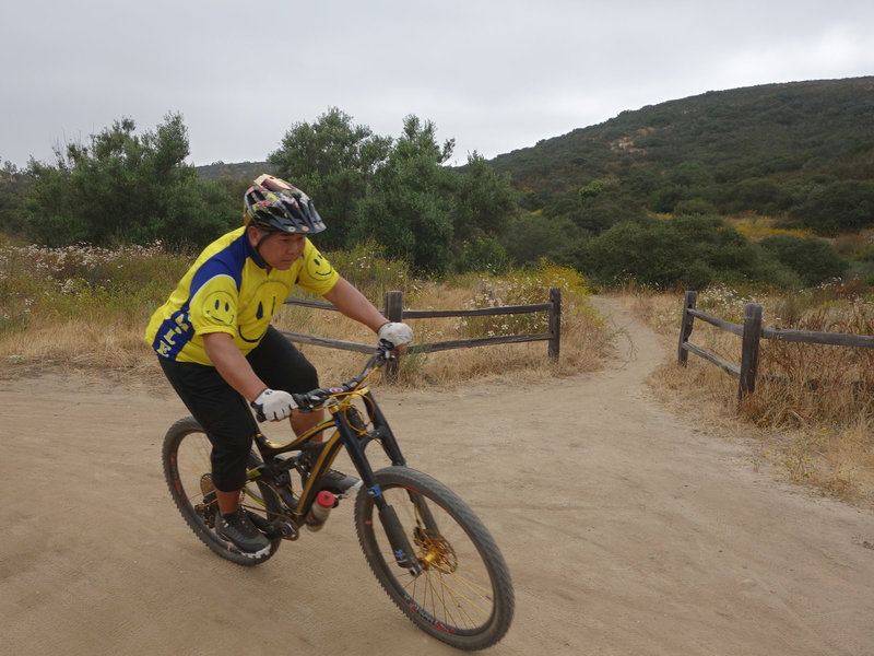
A mountain biker descends the Cobbles Trail.
A mountain biker descends the Cobbles Trail.
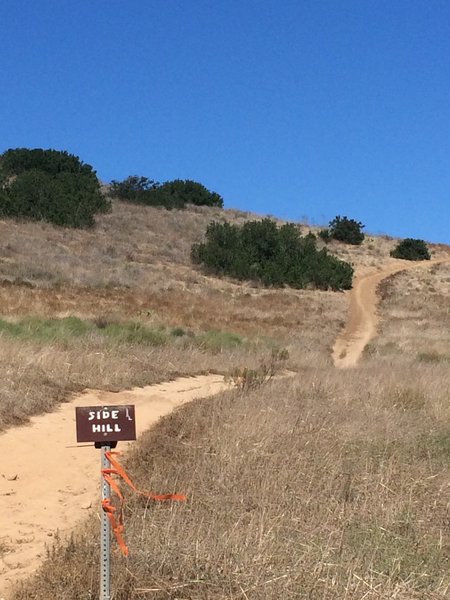
Side Hill - connector to Del Mar Mesa Preserve.
Side Hill - connector to Del Mar Mesa Preserve.
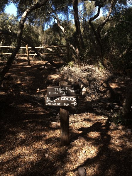
Tunnel 4 or Tunnel 1?
Tunnel 4 or Tunnel 1?
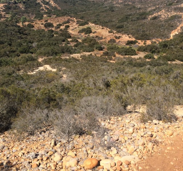
Loose rock.
Loose rock.
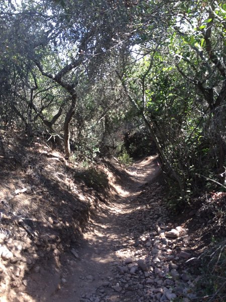
Tunnel 4
Tunnel 4
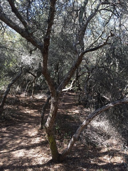
Tunnel 1.
Tunnel 1.
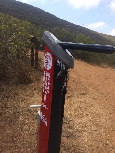
One of the new bike stations by SDMA and REI.
One of the new bike stations by SDMA and REI.
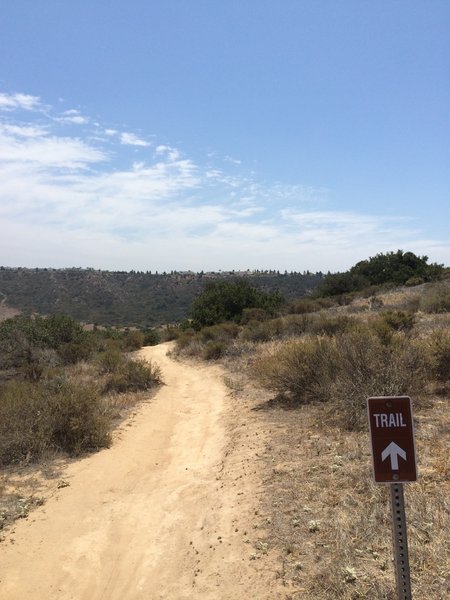
This trail narrows to singletrack then a huge drop for some fast downhill. Be careful!
This trail narrows to singletrack then a huge drop for some fast downhill. Be careful!

Tunnel 4.
Tunnel 4.
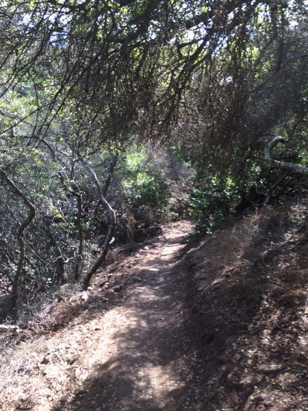
Tunnel 4.
Tunnel 4.
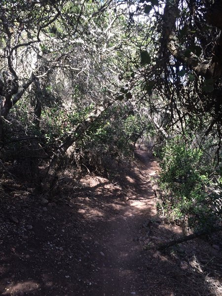
Tunnel 4.
Tunnel 4.
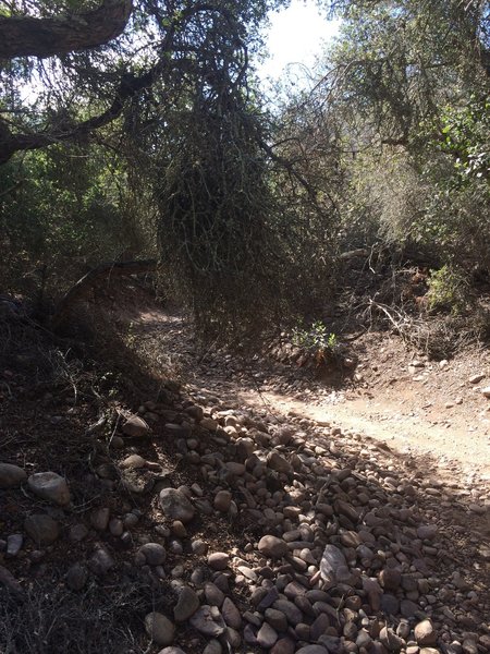
Tunnel 4.
Tunnel 4.

Singletrack through the trees.
Singletrack through the trees.
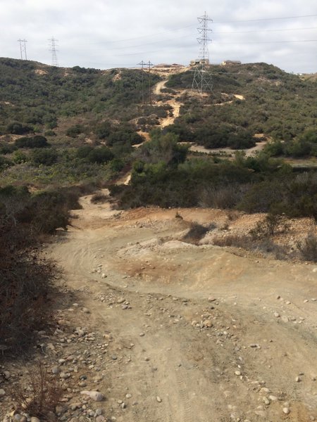
Slippery slope.
Slippery slope.
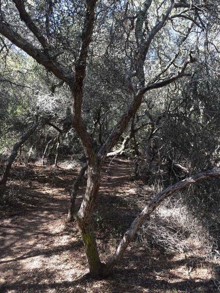
Tunnel 1.
Tunnel 1.
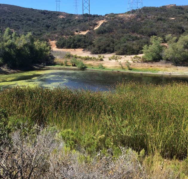
Vernal pool to the west of trail.
Vernal pool to the west of trail.
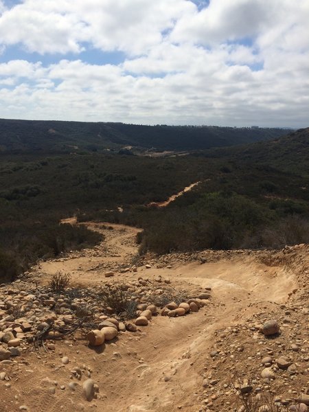
"Shitz"
"Shitz"
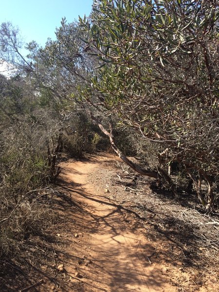
Bowtie Rim singletrack.
Bowtie Rim singletrack.
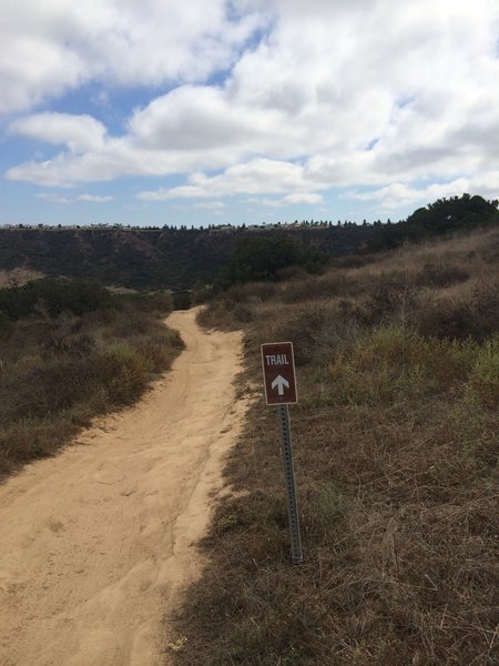
Side Hill singletrack.
Side Hill singletrack.
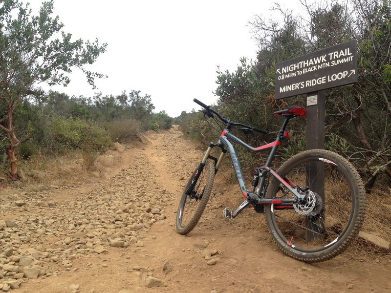
Junction of Night Hawk Trail and Miner's Ridge. Short rocky climb up to the fireroad to the top.
Junction of Night Hawk Trail and Miner's Ridge. Short rocky climb up to the fireroad to the top.
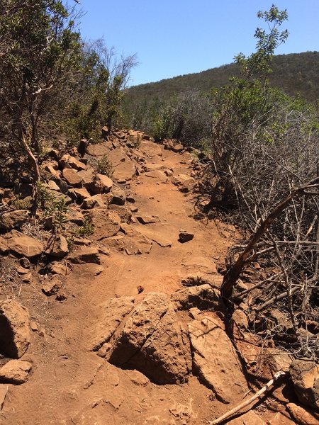
Large rocks on the trail that eventually smooth out.
Large rocks on the trail that eventually smooth out.
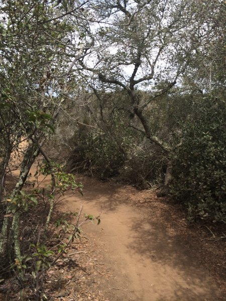
Tunnel 5
Tunnel 5

Optional Technical Feature: Log Ride installed on side of trail.
Optional Technical Feature: Log Ride installed on side of trail.
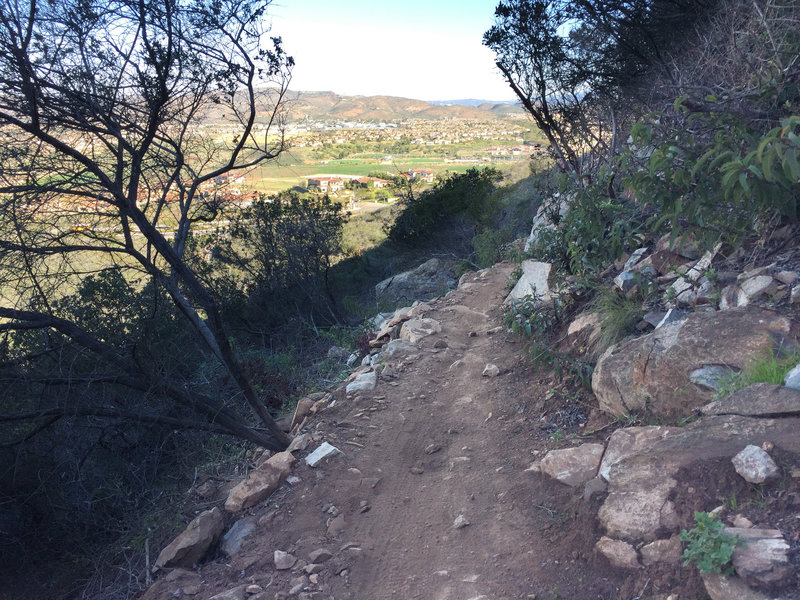
Lilac Miners Peak Loop overlooking out to 4s Ranch. Narrow trail, but the lower half is so much fun!
Lilac Miners Peak Loop overlooking out to 4s Ranch. Narrow trail, but the lower half is so much fun!
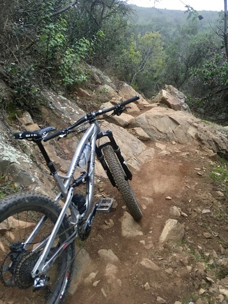
Some of the rock features found on the Miner Ridge Loop provide quite a challenge.
Some of the rock features found on the Miner Ridge Loop provide quite a challenge.