3.7 hr
Overview
The trail is generally well-marked with clear signage at almost every intersection. Extending the Miners Loop for the additional counter-clockwise Black Mountain summit loop means turning off the singletrack up fire road for a short section that is not as well-marked, so keep your eyes peeled. A well-traveled path and the <a href='/mobile-app'>MTB Project mobile app</a> made navigating this section fairly easy. <br><br>The trail is ridden-in well, and designed using modern trail building techniques consisting of smooth, flowy hardpack along natural ridgeline terrain. Berms and some bits and bops of technical rocks and man-made chunk are thrown in throughout. These combined with tight switchbacks, punchy climbs, fast rolling sections, technical features on the side of the trail that are optional, and steady sustained climbing make for an engaging experience for most of the way up. <br><br>Turning off the singletrack and onto the fire road for the final push to Black Mountain summit changed the tune of the ride - the final section consisted of baseball-to-melon-sized loose rocks on a fairly steep incline, making this section's climb and descent more unforgiving than the majority of the trail. <br><br>Once you've taken in the views from the summit of Black Mountain it's time to double-back. Follow the road down, dodging those large rocks as best as possible and then turn left on the Nighthawk Trail followed by the next left on the Miner Ridge Loop to Nighthawk Trail. You'll find yourself at the southern end of the Miner Ridge Loop.<br><br>This time, hang a right to complete the counter-clockwise loop you started earlier. The way down includes fast singletrack and a few section so of stair-step drops that make for a fun and rowdy descent. Where the "lollipop" portion of Miner's Ridge Loop Trail connects back to the stem, riders could head to the left for another climb that would lead to a steep and fast descent on the Glider Point Trail. Or, keep straight (as mapped) to descend to the Lilac Canyon Trail and then the
Trail Stats
12.6 km
321 m
473 m
193 m
—
Photos
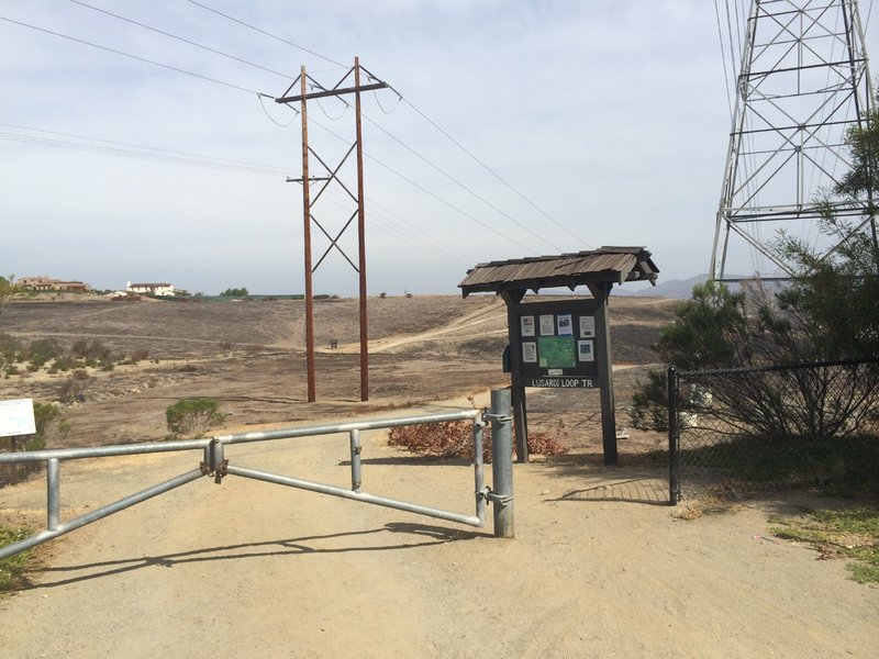
Parking and trailhead.
Parking and trailhead.
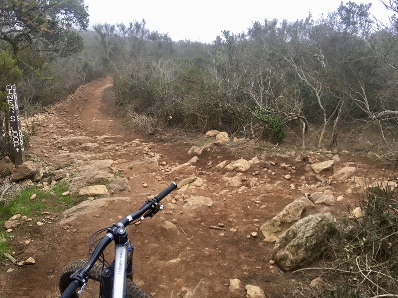
This particular intersection is on a DH section of trail, and while marked, it is easy to miss at speed. Turn right to depart the singletrack for the fire road to the summit.
This particular intersection is on a DH section of trail, and while marked, it is easy to miss at speed. Turn right to depart the singletrack for the fire road to the summit.
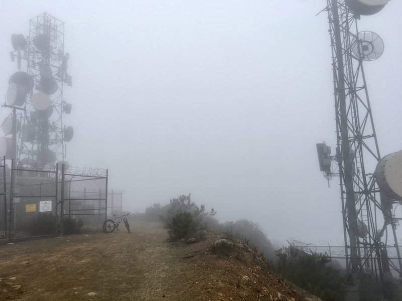
Dense fog often clouds the view from Black Mountain in the early morning.
Dense fog often clouds the view from Black Mountain in the early morning.

From the top of Night Hawk Trail where it meets the fire road. Views are great from here to the top.
From the top of Night Hawk Trail where it meets the fire road. Views are great from here to the top.
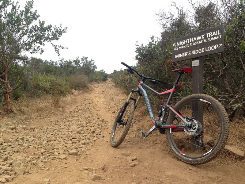
Junction of Night Hawk Trail and Miner's Ridge. Short rocky climb up to the fireroad to the top.
Junction of Night Hawk Trail and Miner's Ridge. Short rocky climb up to the fireroad to the top.

Optional Technical Feature: Log Ride installed on side of trail.
Optional Technical Feature: Log Ride installed on side of trail.
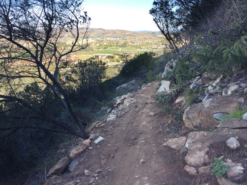
Lilac Miners Peak Loop overlooking out to 4s Ranch. Narrow trail, but the lower half is so much fun!
Lilac Miners Peak Loop overlooking out to 4s Ranch. Narrow trail, but the lower half is so much fun!
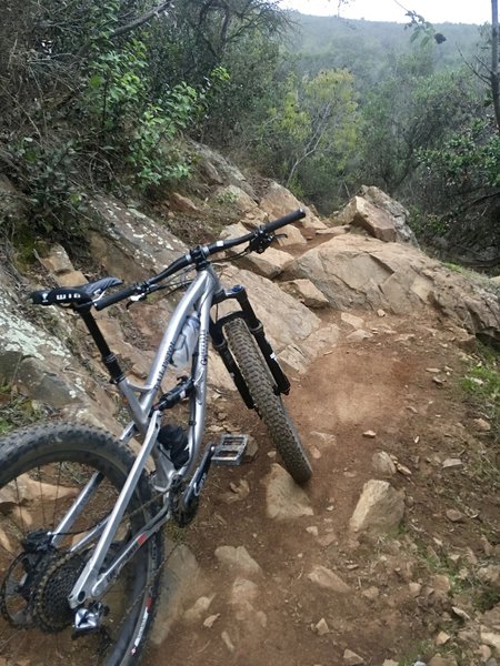
Some of the rock features found on the Miner Ridge Loop provide quite a challenge.
Some of the rock features found on the Miner Ridge Loop provide quite a challenge.