5.0 hr
Overview
Drive to the end of Alpine Road from 280 (or park as early as you like and ride up to the gate). Park at the gate next to the residential entrance (Ciervos Rd), keep clear of the gate to allow passage (note the no parking sign).<br><br>Ride up a sustained climb, winding through the woody double and singletrack to Page Mill Road. The old road sections are a moderate grade. The singletrack "bypass" section (required) is steep in places but can be ridden uphill by the determined. Eventually reach the top and turn right on Page Mill Road (paved - not steep) for 0.6 miles. Go across Skyline Blvd, and proceed on Alpine Road (paved - not steep) until it is just about to go downhill. Enter Russian Ridge Open Space on the right (first entrance on the right has a short climb and logs to hop over--if you go another couple hundred feet on Alpine Rd there is another entrance you can ride through), and shortly thereafter turn left onto Ancient Oaks Trail. <br><br>There are lots of options for looping around in Russian Ridge--this loop has some good singletrack, epic views of the bay and ocean, and a couple short climbs. The loop is: Ancient Oaks Trail -> Bo Gimbal Trail -> Ridge Trail -> Hawk Ridge Trail -> Alder Spring Trail -> Charquin Trail -> Skyline Blvd.<br><br>Exit at Russian Ridge onto Skyline at the Vista Point. Turn left (north) on Skyline Trail and very soon take the first road on the right "Clouds Rest Road." Go down this semi-paved road to its end and enter Coal Creek Open Space through a gate. Shortly after, veer right at the fork onto Meadow Trail. Follow Meadow trail down to Alpine Road<br><br>Meadow trail has a couple steep and rutty sections to keep you on your toes. It can be a swamp in wet weather and Crazy Pete's Rd. Trail is preferred (see below).<br><br>As an alternative, go a mile further north on Skyline Trail, turn right on Crazy Pete's Rd. Trail and enter Coal Creek Open Space at the end of Crazy Pete's Road. Stay left at the fork for a better downhill and eventually reconnect with Alpi
Trail Stats
16.9 km
480 m
764 m
357 m
—
Photos
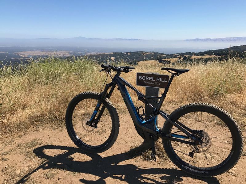
The viewpoint at Borel Hill
The viewpoint at Borel Hill
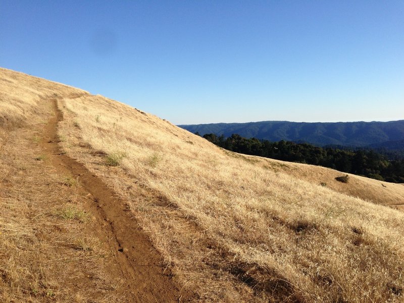
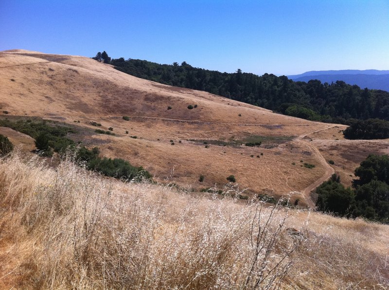
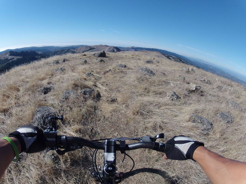
Russian Ridge, Ridge Trail
Russian Ridge, Ridge Trail
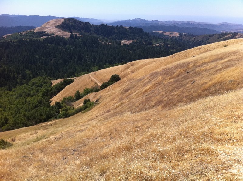
View from the Bo Gimbal Trail.
View from the Bo Gimbal Trail.
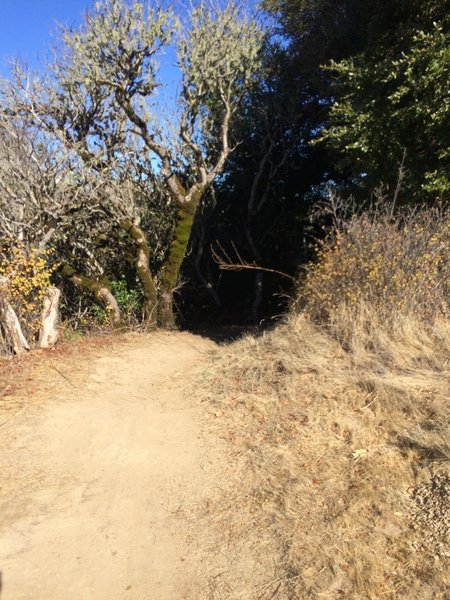
nice Singletrack
nice Singletrack
View from Ancient Oaks Trail.
View from Ancient Oaks Trail.
More waves of grain.
More waves of grain.
Goodbye Russian Ridge
Goodbye Russian Ridge
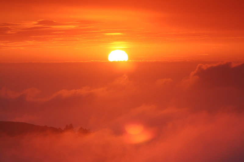
It doesn't get much better than this...
It doesn't get much better than this...
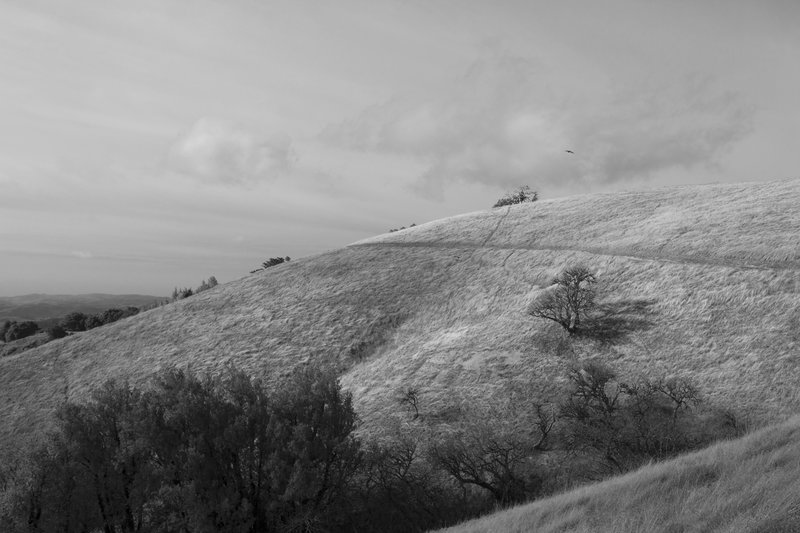
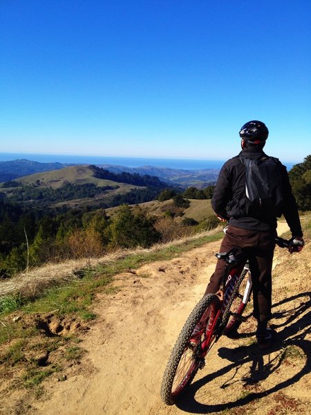
Awesome view on the ridge
Awesome view on the ridge
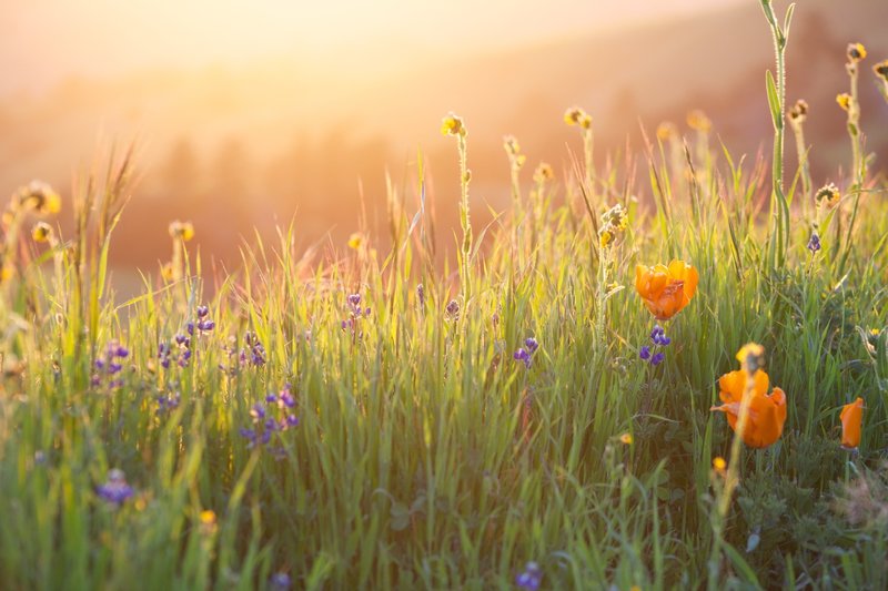
Beautiful light on the ridge trail.
Beautiful light on the ridge trail.