6.1 hr
Overview
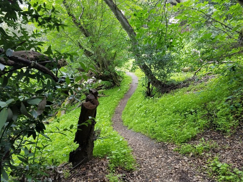
Start at the Crockett Hills Regional Park staging area off of Crockett Boulevard. At the end of the parking lot, you'll find a gate and the trailhead.<br><br>Go left at the gate for about .4 miles then turn right to go up the singletrack portion of Edwards Loop Trail". Follow the gentle, shaded singletrack ascent through the forest. At the top turn right and go a short distance to reach the tunnel that goes under the Cummings Skyway. <br><br>A more fun (in my opinion) and alternate route is to continue straight at the fork with Edwards Loop Trail and Edwards Creek Trail. Then, turn onto Wood Rat Trail, a flowy XC-style connector trail to the main area of the park. It's worth doing at least once, and it gets you prepared for the fun stuff.<br><br>Go through the tunnel to reach the grassy hill area of Crockett Hills. Go straight on the Soaring Eagle Trail. It is all singletrack. The views are amazing. Plan time to take pictures. In the summer, this trail can be very hot or very cold and windy. Plan for both. The Soaring Eagle Trail follows the contours of the hills gently ascending to a paved area with a picnic table near the intersection with Big Valley Trail. <br><br>From the picnic table, go through the gate to enter the new flow trail (Sugar City Trail). The trail descends about 500 ft with lots of bumps, jumps, berms, tabletops and switchbacks. It's safe enough for intermediate riders and exciting enough for experts, although the left switchbacks can be tight and hard to master. The trail was designed and built by the same folks who built the Tamarancho trails.<br><br>Follow the traverse out of the flow trail until it intersects the Big Valley Trail. Continue on Big Valley Trail until you reach the small farm building. Turn right on Tree Frog Loop (fire road section). This is a short, steep road that will take you to Tree Frog Loop (singletrack section) in about 1/3 of a mile. <br><br>Turn left and follow the flowy Tree Frog Loop trails bumps, banked corners and gratuitous curves to for a couple of mile un
Trail Stats
21.4 km
463 m
230 m
38 m
—
Photos
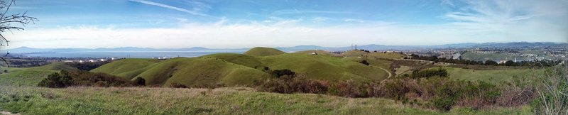
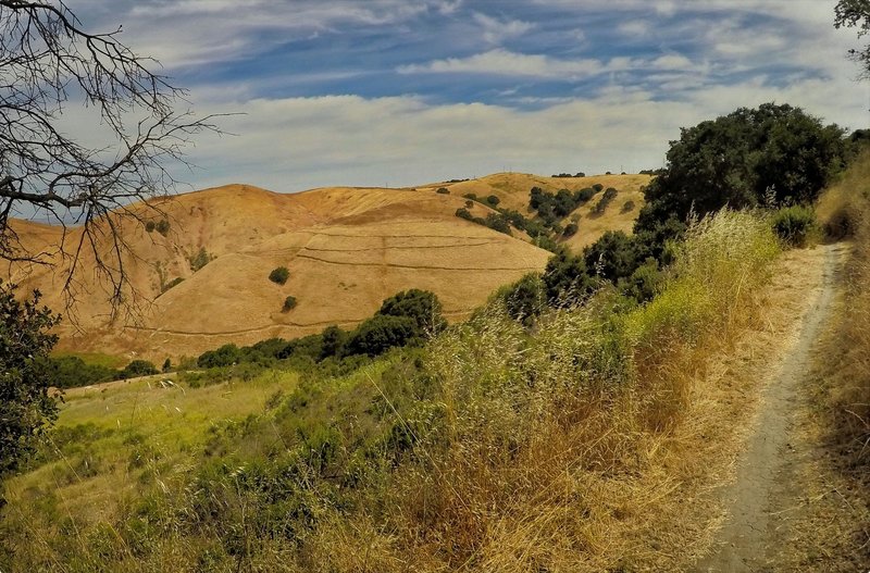
Great views from Soaring Eagle Trail
Great views from Soaring Eagle Trail
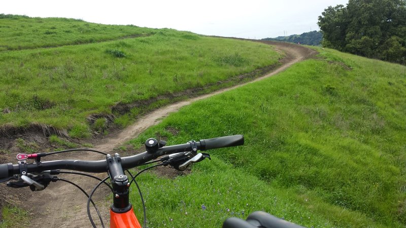
The start of the bump, jump and flow trail
The start of the bump, jump and flow trail
Lots of banked corners on Flowetry In Motion Trail
Lots of banked corners on Flowetry In Motion Trail
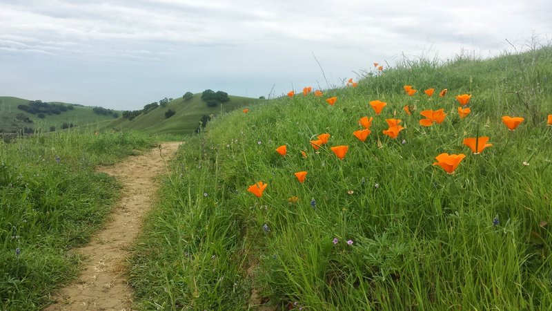
California Golden Poppies on Unfinished Business
California Golden Poppies on Unfinished Business
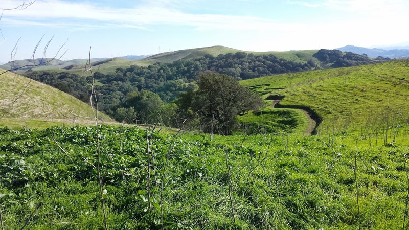
Crockett Hills Trail - Might be Tree Frog Loop
Crockett Hills Trail - Might be Tree Frog Loop
A view of the Sugar City Trail - At least 30 little jumps on the side of that hill!
A view of the Sugar City Trail - At least 30 little jumps on the side of that hill!

Crockett Hills Trail - Might be Tree Frog Loop
Crockett Hills Trail - Might be Tree Frog Loop