4.5 hr
Overview
This fire road has great scenery along rolling hills that take you along a ridge line that is eight miles long. The road stretches from Coit Lake to Mississippi Lake and gains only 1000 feet of elevation (pretty meager by Henry Coe standards). There are a few pretty good vistas, and the road reaches the highest point about halfway between the two lakes.<br><br>There are restrooms by Mississippi Lake and some camping areas. Also, there is a spring called Bear Spring just over a mile north of the lake.
Trail Stats
16.1 km
309 m
791 m
648 m
—
Photos
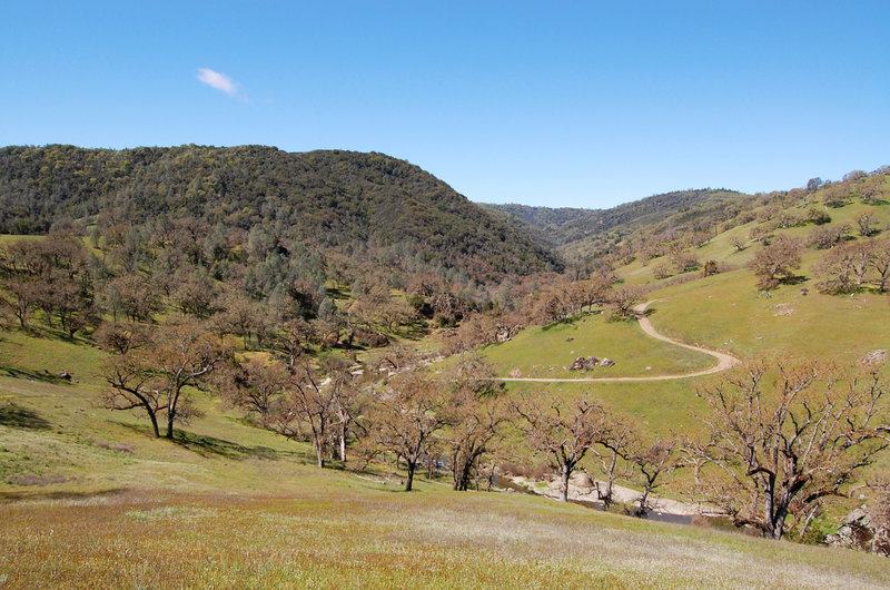
Willow Ridge Road is a wonderful spot to be on a nice day.
Willow Ridge Road is a wonderful spot to be on a nice day.
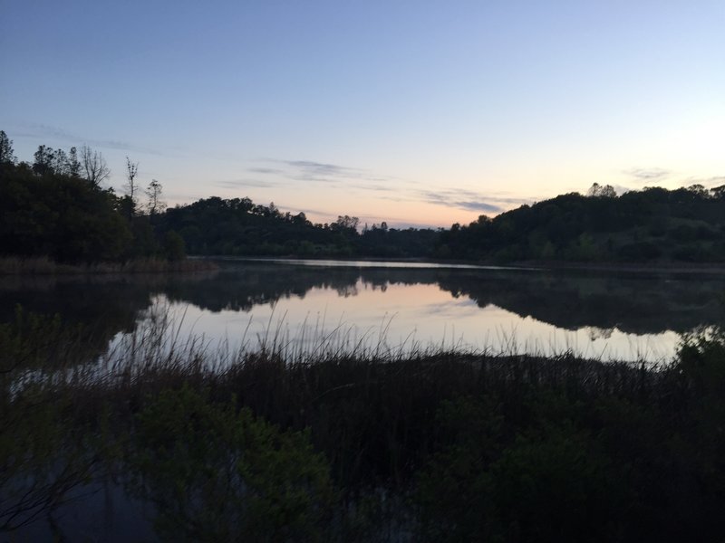
Sunrise at Mississippi Lake.
Sunrise at Mississippi Lake.