56 min
Overview
After leaving the Las Trampas Regional Park - Madrone Trail, the climb is steady and mostly exposed. It can be hot in the sun and cold if fog and wind are blowing over the peak. Views however, abound! You'll see Mount Diablo, San Ramon Valley, Northern Contra Costa County, the Carquinez Straits, Suison Bay, parts of the San Francisco Bay and, on a clear day, San Francisco and Mt Tamalpais. In morning and evening wildlife can be plentiful. You may see foxes, skunks, turkeys, deer, red shouldered hawks, rattlesnakes and more.<br><br>Make sure to take the short detour to the peak (take a right at the gate that feels like the top, it is).<br><br>After reaching the peak, follow the road up and down until you reach the Bollinger Rd Access to Las Trampas Regional Park trail. At this point, the Las Trampas Ridge trail turns to singletrack and is not legal for biking. You can either descend to Bollinger Canyon or retrace your steps to the Madrone Trail.
Trail Stats
2.5 km
179 m
548 m
389 m
—
Photos
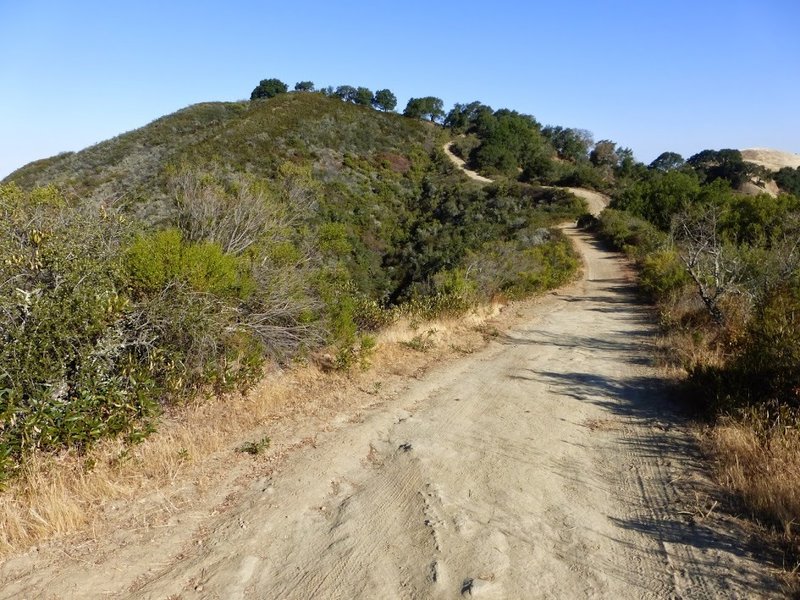
Up to Las Trampas Peak
Up to Las Trampas Peak
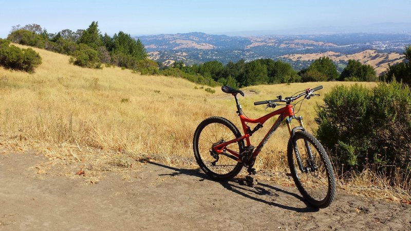
View from Las Trampas looking north
View from Las Trampas looking north
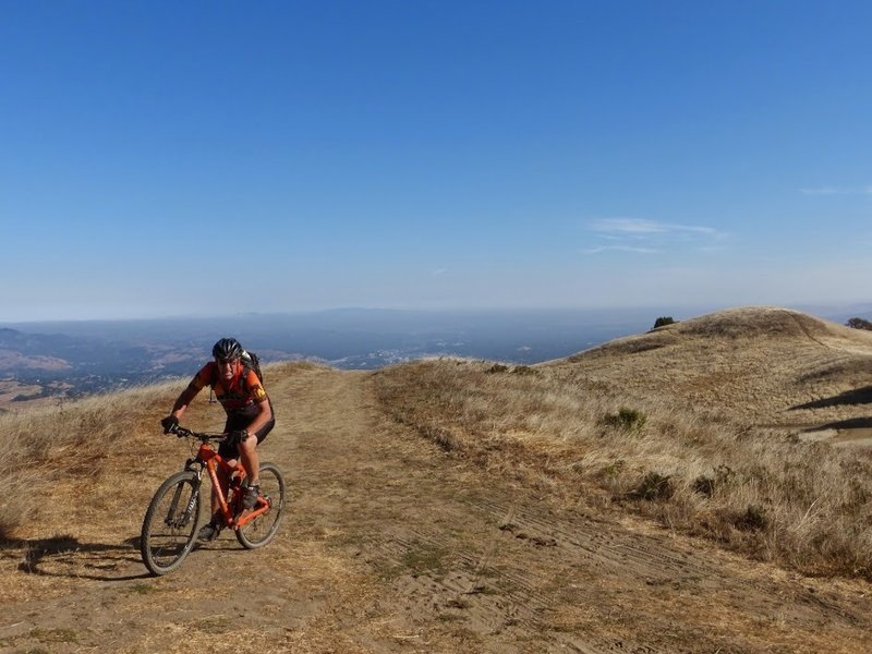
Made it to Las Trampas Peak
Made it to Las Trampas Peak