1.6 hr
Overview
Head up Hobbes Road about 2 miles past the intersection with the top of Flat Frog. Middle Ridge will be on your right. It's 3.5 miles of rolling, smooth, exposed, and at times steep singletrack. There are few obstacles, some erosion, and wonderful scenery. The steep descent includes a multitude of switchbacks, cliff sides, and dry trail, making some sections walk-a-bike for less experienced riders. It is still doable and can be pleasant, but use good judgment. <br><br>Middle Ridge crosses the Coyote Creek just before joining Poverty Flat Road. Making a Right on Poverty heads back to the Coe lot. Left to some other trails (Cougar, China Hole).
Trail Stats
5.8 km
55 m
869 m
377 m
—
Photos
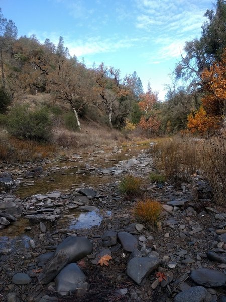
Creek on middle ridge trail currently has water flowing in it.
Creek on middle ridge trail currently has water flowing in it.
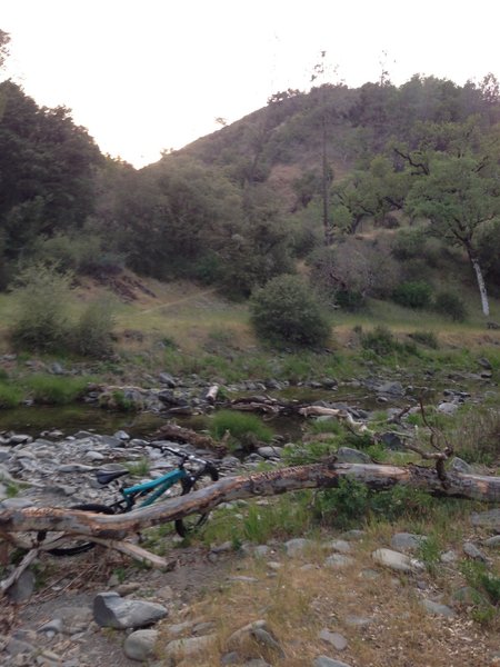
Crossing Coyote Creek and looking back on the descent.
Crossing Coyote Creek and looking back on the descent.
A lookout point with a nice picnic bench.
A lookout point with a nice picnic bench.
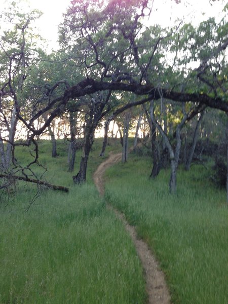
Tall grass and manzanita trees abound.
Tall grass and manzanita trees abound.
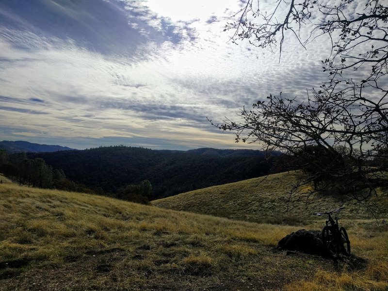
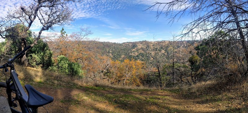
Beautiful views from on of the peaks you'll summit.
Beautiful views from on of the peaks you'll summit.
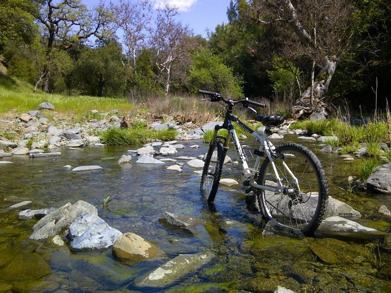
Creek crossing at Henry W. Coe State Park
Creek crossing at Henry W. Coe State Park