1.3 hr
Overview
Chisnantuk Peak Trail is a 2.5 mile "wide singletrack" connecting Calero County Park and Rancho Ca\u00f1ada del Oro. To get there, start at the Rancho San Vicente entrance and take either Lisa Killough Trail or Cottle Trail. Ride until these trails meet again at their southern ends. Continue on Cottle Trail going west. During the wet season, there are three small streams that will need to be crossed (nothing big, really, and they should be dry most of the year). Cottle Trail becomes a somewhat steep fire road on its last half mile. Ride it up to the Cottle Rest Site, where Chisnantuk Peak Trail starts.<br><br>Chisnantuk Peak Trail climbs from Calero to Rancho Ca\u00f1ada del Oro at a more or less constant grade of 5%. This grade is sufficient to keep a good pedaling stroke while gaining some elevation. There are nice photo opportunities three-quarters of the way up.<br><br>At the trail's end, you'll reach Bald Peaks Trail (bordering Rancho Ca\u00f1ada del Oro OSP). At this point, you have the option of riding back down (2.5 flowy miles of gentle downhill, with fun and smiles!) or continue up on Bald Peaks and make your way down to the main parking lot of Rancho Ca\u00f1ada del Oro.
Trail Stats
4.1 km
185 m
450 m
265 m
—
Photos
Near the top of the trail
Near the top of the trail
View from Chisnantuk Peak Trail
View from Chisnantuk Peak Trail
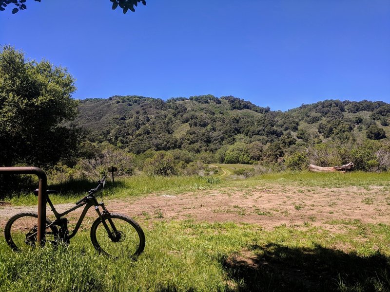
Cottle Rest Site
Cottle Rest Site
View of the climb on Bald Peaks Trail from the Junction of Chisnantuk and Bald Peak trails.
View of the climb on Bald Peaks Trail from the Junction of Chisnantuk and Bald Peak trails.
Junction of Chisnantuk and Bald Peak trails.
Junction of Chisnantuk and Bald Peak trails.
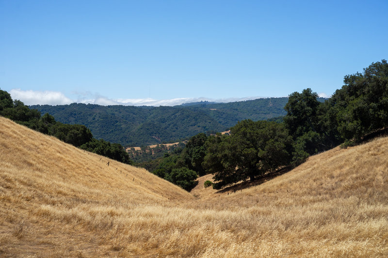
A steady climb with amazing views
A steady climb with amazing views
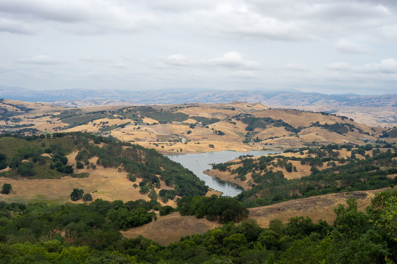
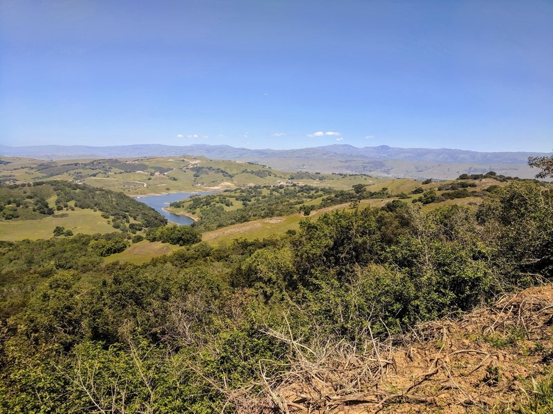
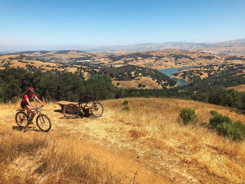
Calero Reservoir overlook
Calero Reservoir overlook
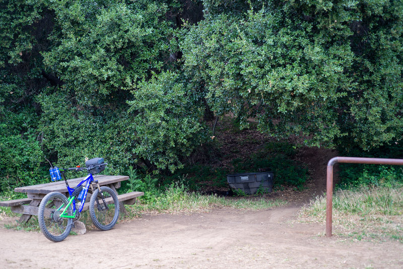
Picnic table at the top of the trail
Picnic table at the top of the trail
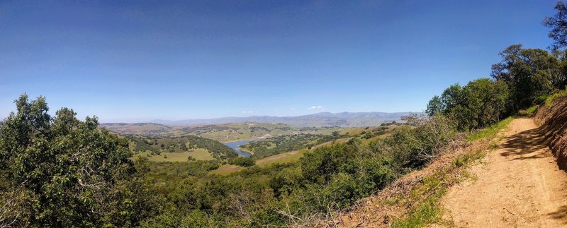
Panorama from Chisnantuk Peak Trail.
Panorama from Chisnantuk Peak Trail.
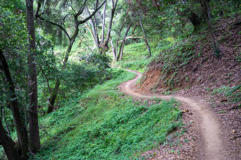
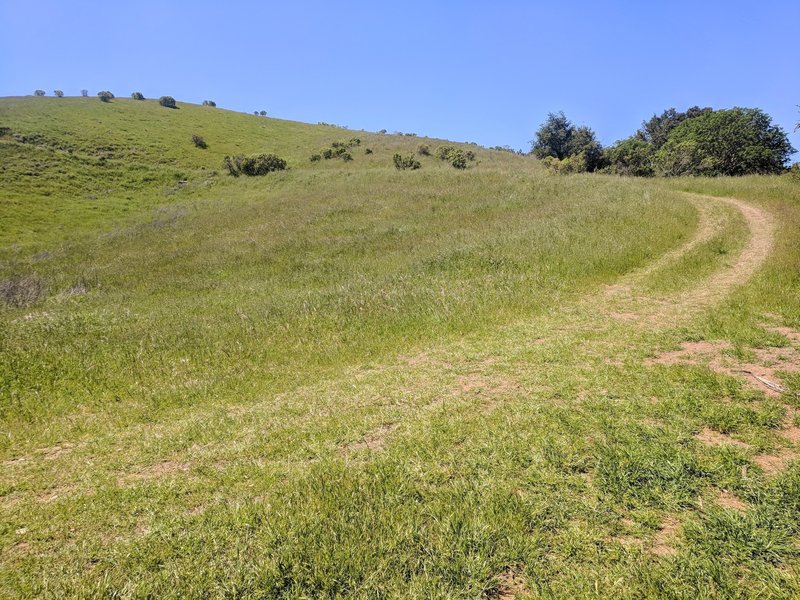
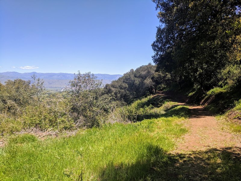
Singletrack through the forest
Singletrack through the forest
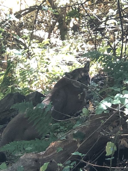
Mountain lion we encountered. Was last of a group of three lions.
Mountain lion we encountered. Was last of a group of three lions.