35 min
Overview
As a downhill, this trail starts at the fire road that goes to the top of Cowles Mtn and ends at the Big Rock Park. The upper portion is mostly 10-15inch drops off railroad ties. Most of the switchbacks are off-camber, rutted, rocky, and of course, downhill, so they can be a bit tricky. <br><br>After you pass the split for the Mesa trail, it gets more rocky and there are fewer railroad ties, which is likely where this trail gets its name. You can rail this trail pretty good the whole way down - there's only one corner that I have to take really slowly on my 4 inch travel bike, and that's where you come around a left hander and there are some oddly spaced steps that I am not able to fly over. <br><br>Once you get to the bottom you can double some of the drops if you have the travel, speed, and skills. I don't. For the most part it's a rad trail with good flow.
Trail Stats
2.4 km
0 m
340 m
114 m
—
Photos
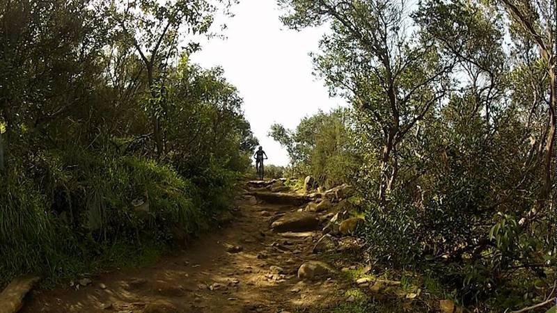
Chunky downhill!
Chunky downhill!