1.1 hr
Overview
To access this trail, you'll need to ride up Coit Road for 1.9 miles from the Coyote Creek Entrance where there is a sign marking the trail. Turn slightly right to go up the Grapevine Trail. <br><br>In 0.3 miles, you'll come to another trail intersection for Anza Trail. Turn left to continue on Grapevine Trail. This route is winding and crosses a decent size creek with water running in the winter time. There may not be water in the summer. <br><br>Continue for 1.1 miles to this trail's end at Coit Spring Trail/Road and you can turn left to go back to Coit Road or right to continue exploring and climbing.
Trail Stats
2.3 km
237 m
559 m
326 m
—
Photos
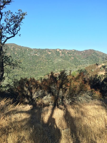
Enjoy nice views from the Grapevine Trail.
Enjoy nice views from the Grapevine Trail.