3.3 hr
Overview
Mount Umunhum is one of the tallest peaks in the Santa Cruz Mountains, and has a rich history, first as a sacred site for Native Americans (“umunhum” means “resting place of the humming bird”), and more recently as a Cold War-era Air Force radar station. The radar station closed in 1980, and the land acquired for the Sierra Azul Open Space in 1986. The summit itself remained closed until fall of 2017, when remediation and clean-up work was mostly completed.
Trail Stats
12.6 km
1125 m
1054 m
696 m
—
Photos

Trail photo
No caption provided.
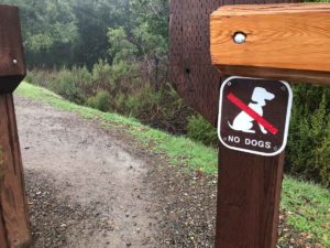
No dogs allowed
No caption provided.
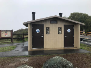
Pit toilets at the Bald Mountain parking area
No caption provided.
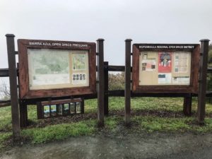
Info signs at the Bald Mountain parking area
No caption provided.
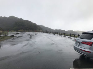
Bald Mountain Trailhead Parking
No caption provided.

Sierra Azul Open Space
No caption provided.
Trail photo
No caption provided.

Trail photo
No caption provided.