20 min
Overview
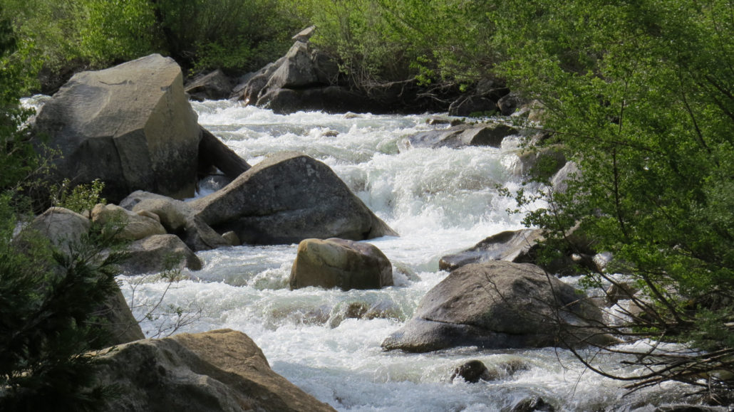
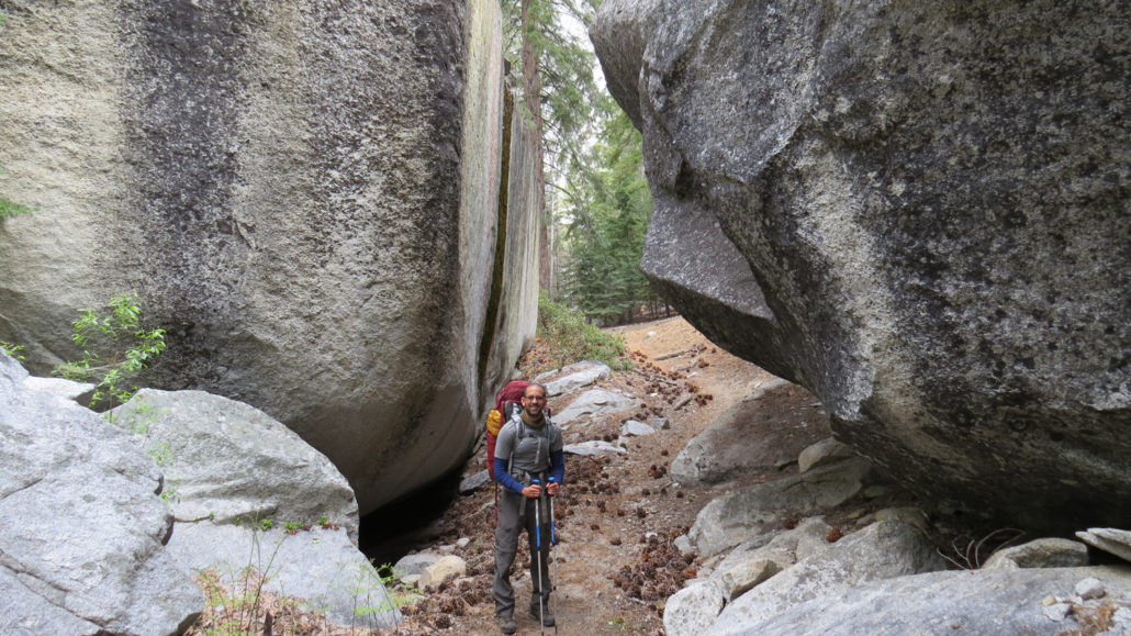
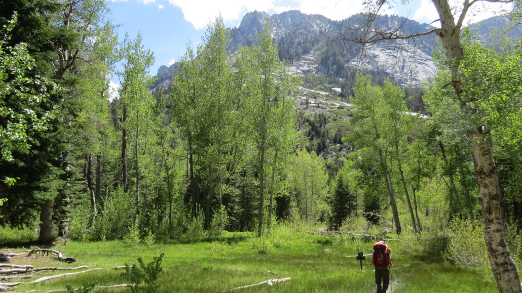
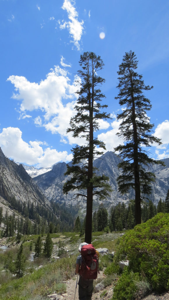
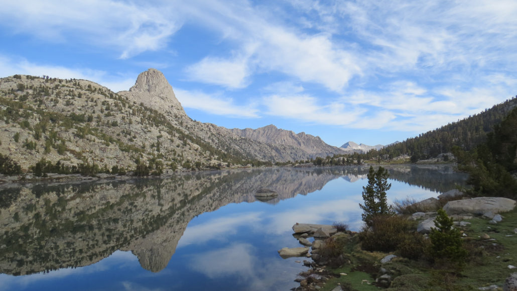
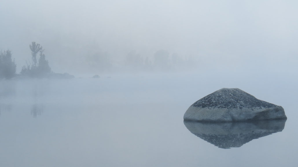
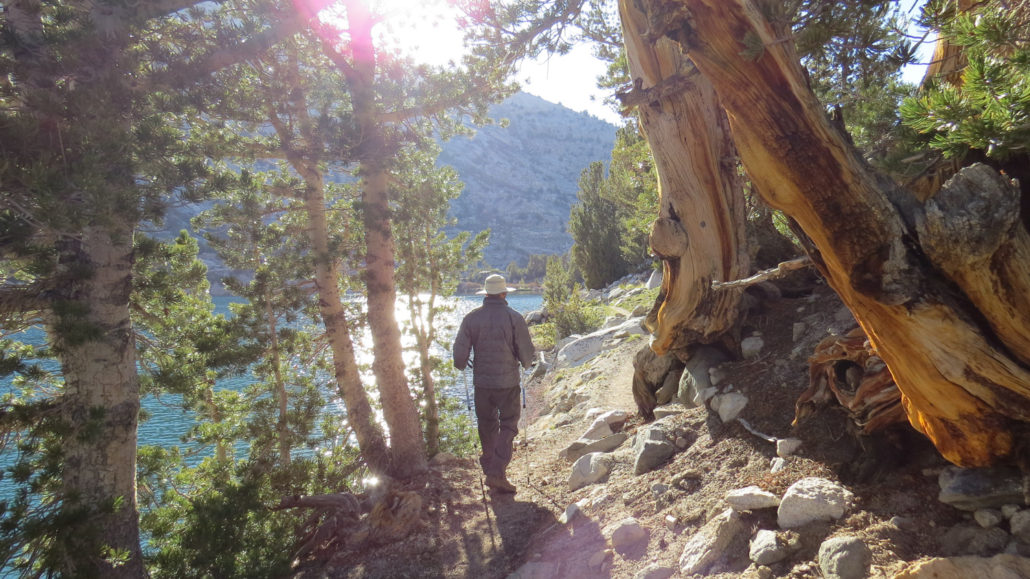
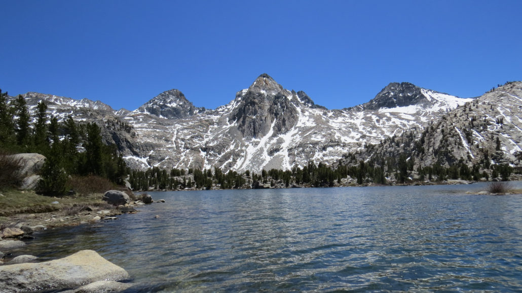
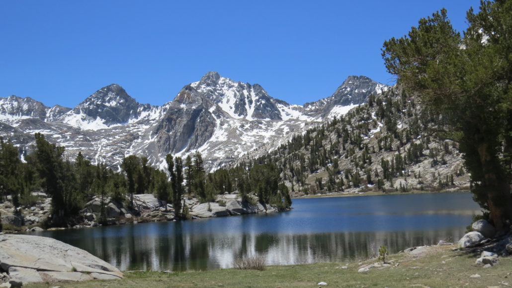
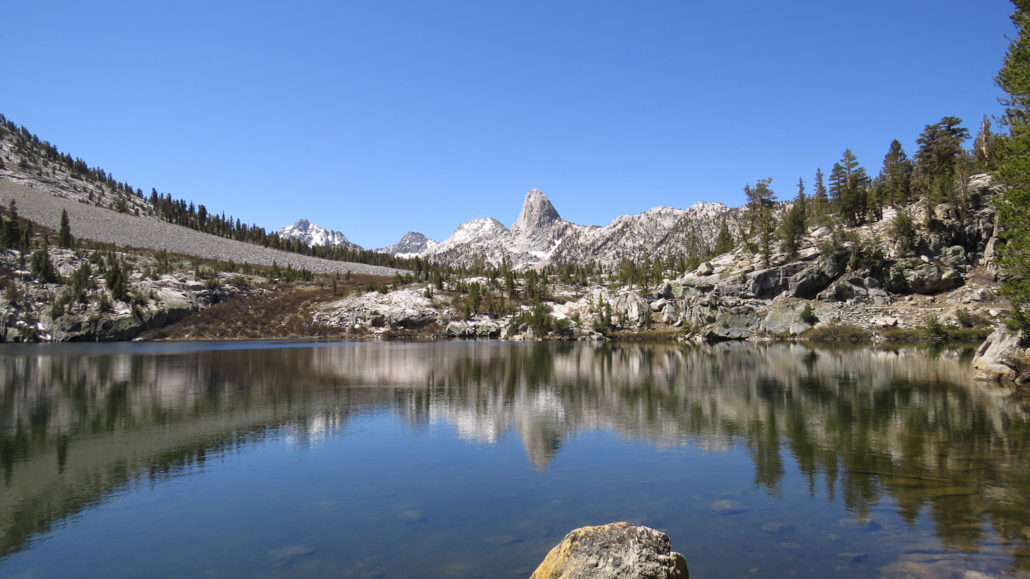
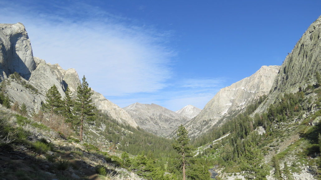
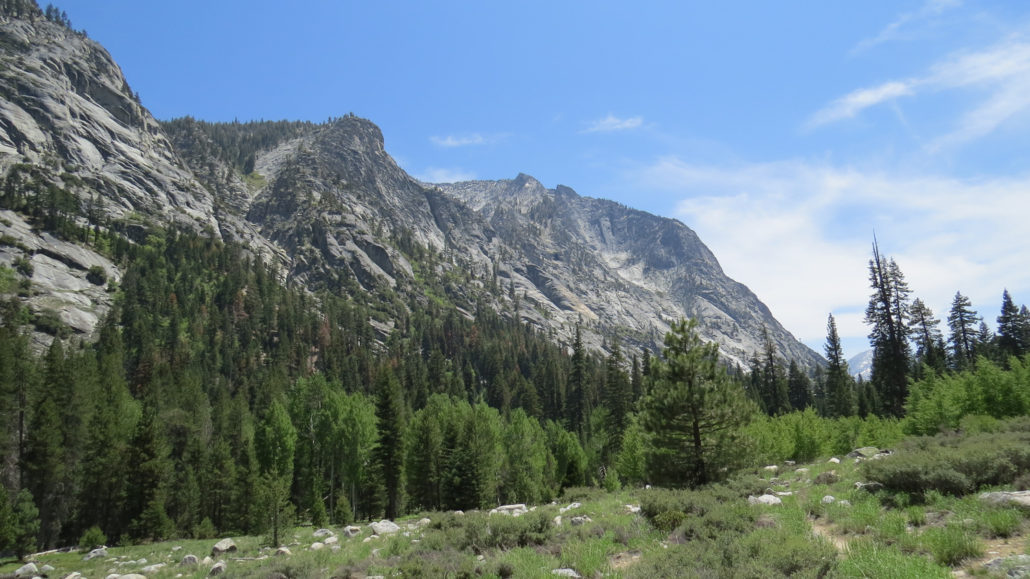
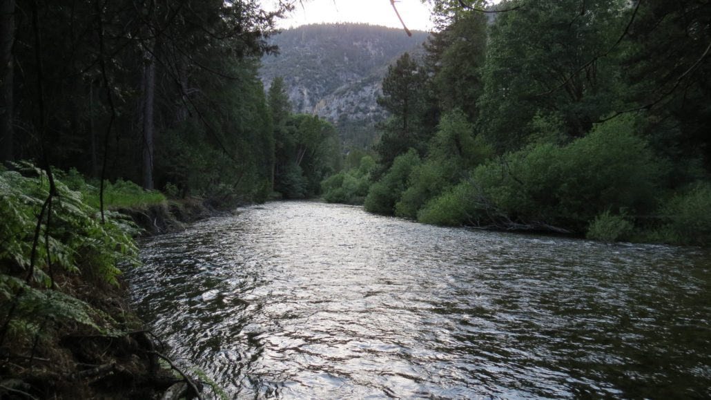
Mile for mile – and perhaps inch for inch – the Rae Lakes Loop in Kings Canyon National Park contains some of the most stunning and celebrated scenery in a mountain range world-famous for stunning and celebrated scenery. The route consists of three separate but connected trails that travel through glacially-carved canyons, a high country basin containing a chain of sapphire blue lakes set against towering granitic crags, and an alpine pass that just scrapes 12,000 feet. Throughout the route, you will observe nearly every major biotic zone (life zones characterized by specific species) in the Sierra, prime examples of glacial erosion, waterfalls, idyllic valleys, tranquil meadows, and myriad sublime scenes ranging from the intimate to the jaw-droppingly grand. Middle Rae Lake at Dusk This article contains detailed route information, including campsite details, natural history, and specific highlights along the way. You will also find information on permits, safety considerations, and other regulations and restrictions. Hikers intending to follow this route can use the information contained here either as a literal step-by-step guide or as a resource from which to derive any number of variations on the route. The Painted Lady shrouded in morning mist From our personal experience in completing this route, we recommend that conditioned hikers take the route in 5 days, with one zero day in the Rae Lakes area. However, it is possible to complete this route in anywhere from 3 ambitious days to 7 leisurely days. We also recommend that hikers take this route clockwise, as the counter-clockwise route features some intense climbing in the initial stretch while pack weight is at its highest. The text below describes the route as if hiked clockwise in four days, although distances for specific destinations are indicated should hikers wish to use the information to fashion their own itinerary. Permits Descending to Junction Meadow Red Tape To hike the Rae Lakes Loop, you will need to obtain a wilderness permit from Kings Ca
Trail Stats
71.5 km
2285 m
3658 m
1530 m
—
Photos
Trail photo
No caption provided.
Trail photo
No caption provided.
Trail photo
No caption provided.
Trail photo
No caption provided.
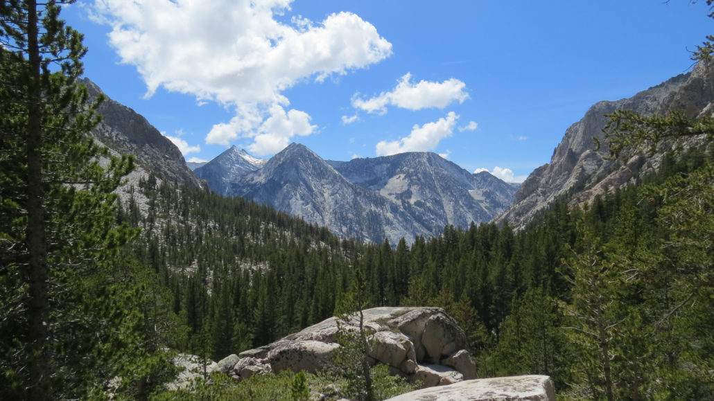
Trail photo
No caption provided.
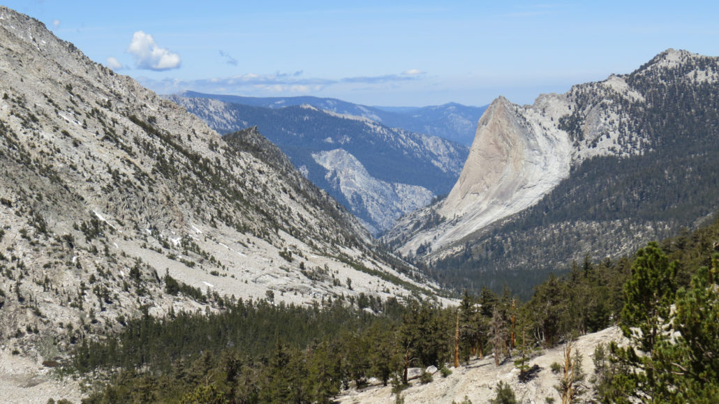
Trail photo
No caption provided.
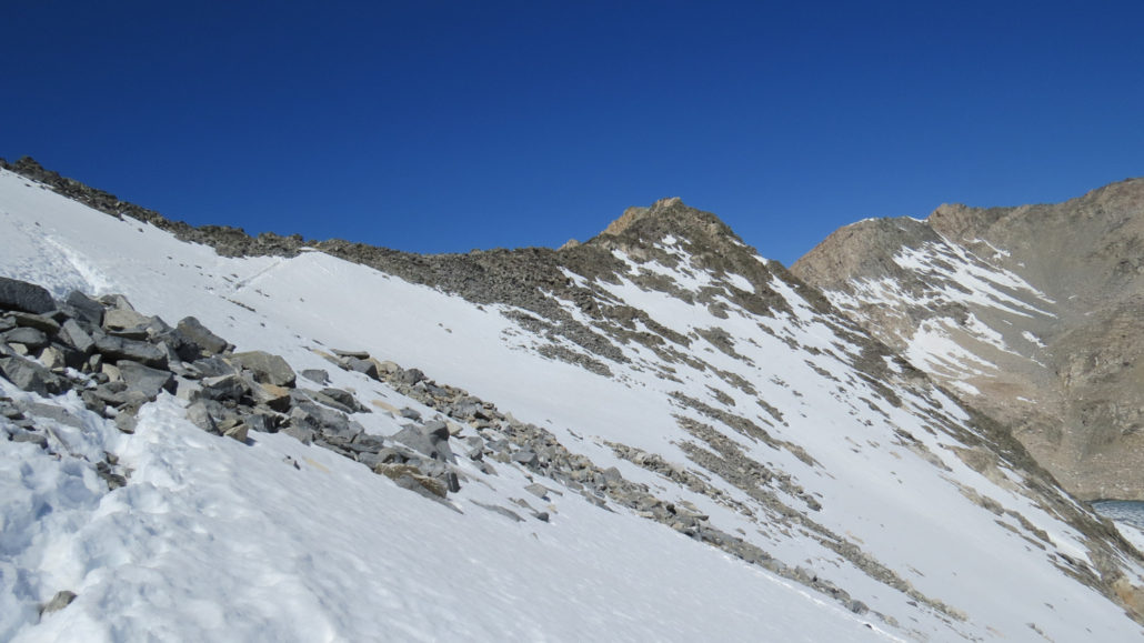
Trail photo
No caption provided.
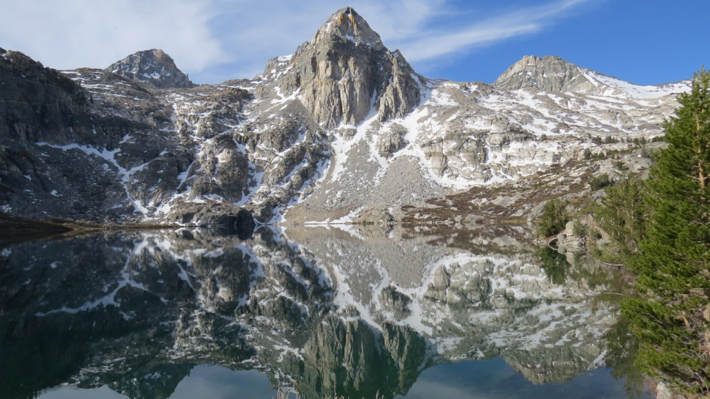
Trail photo
No caption provided.
Trail photo
No caption provided.
Trail photo
No caption provided.
Trail photo
No caption provided.
Trail photo
No caption provided.
Trail photo
No caption provided.
Trail photo
No caption provided.
Trail photo
No caption provided.
Trail photo
No caption provided.
Trail photo
No caption provided.
Trail photo
No caption provided.
Trail photo
No caption provided.