30 min
Overview
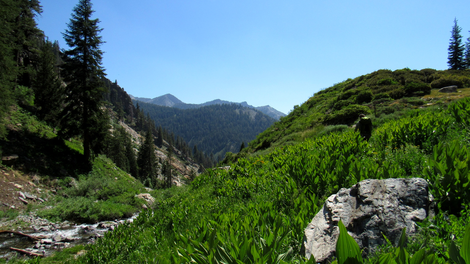
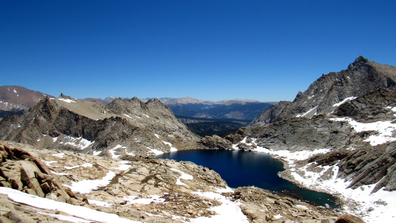
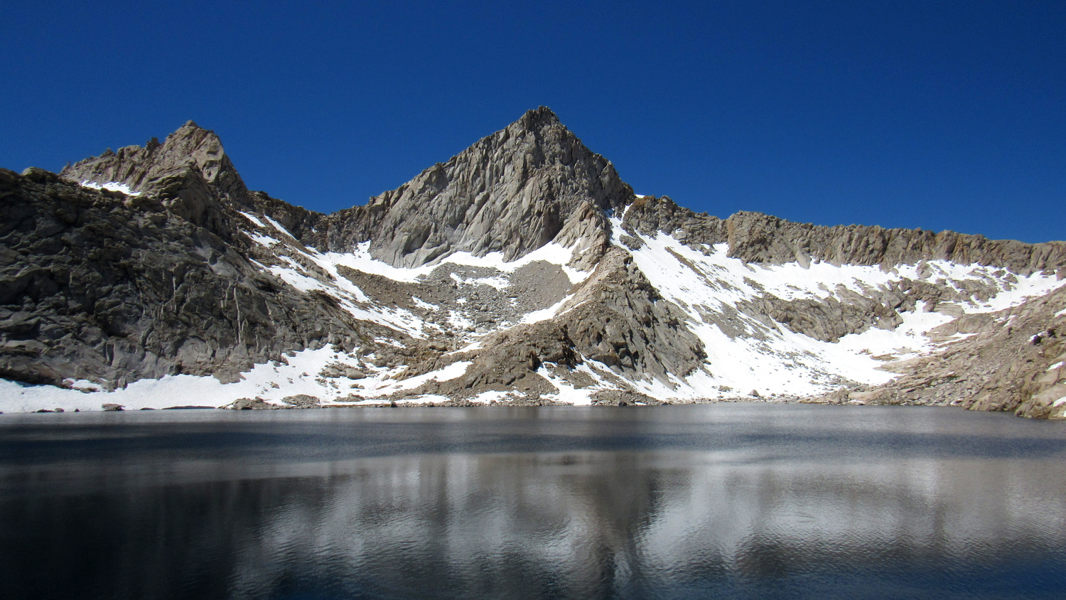
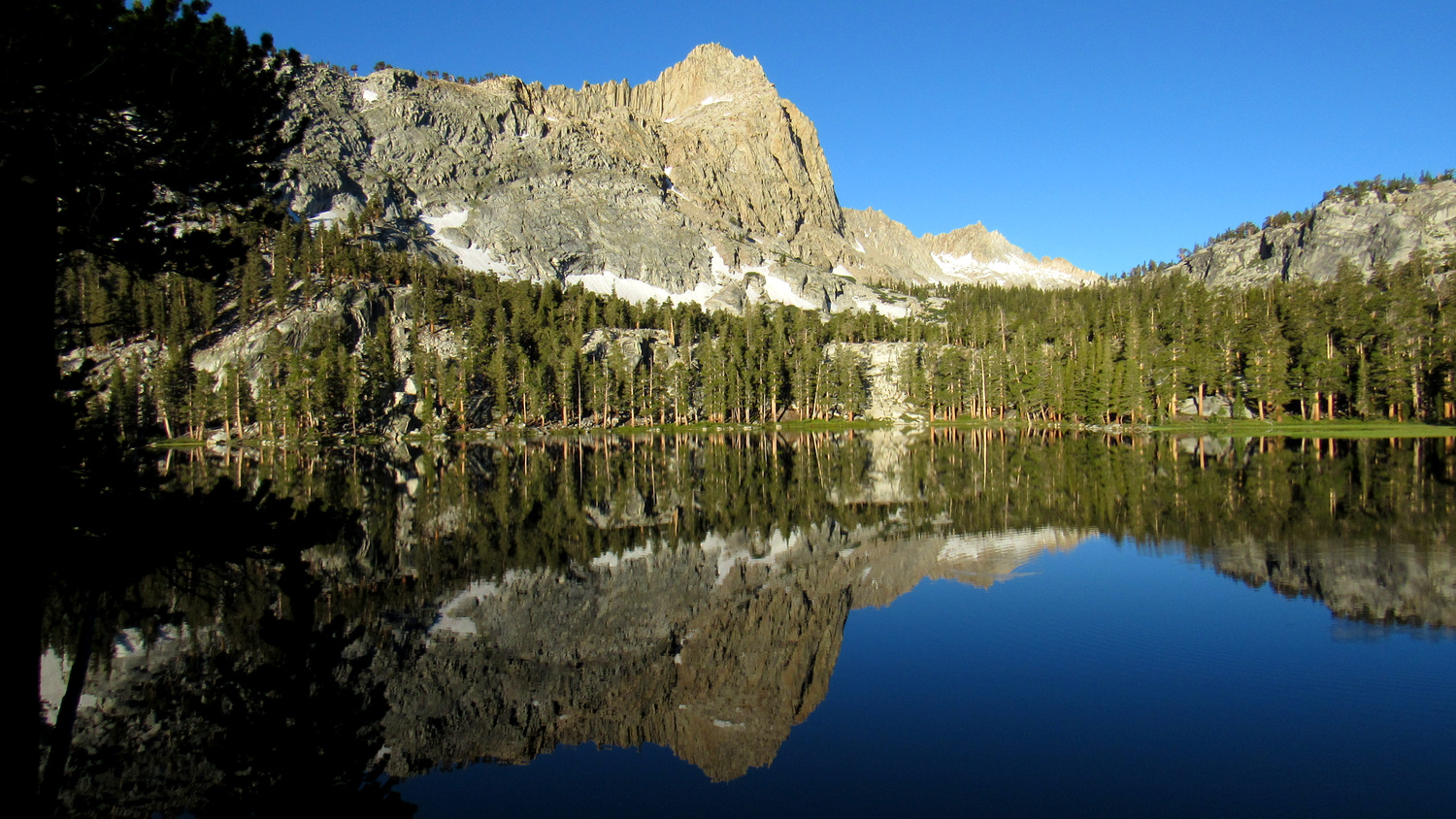
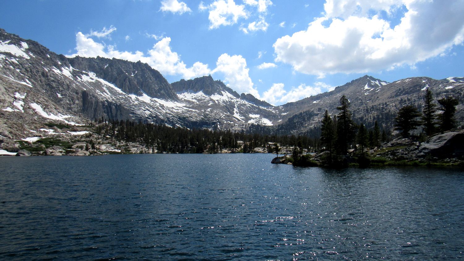
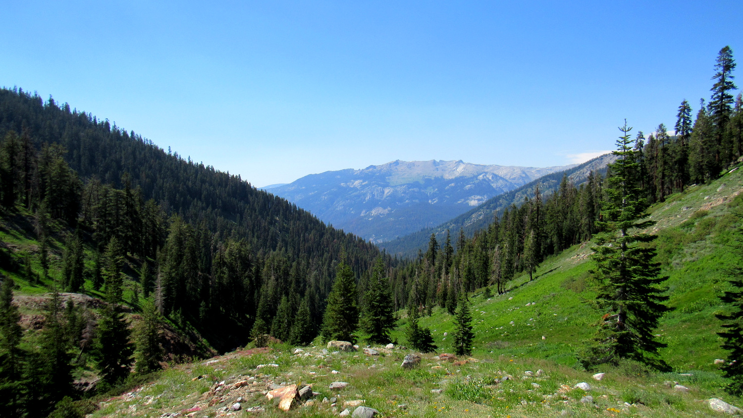
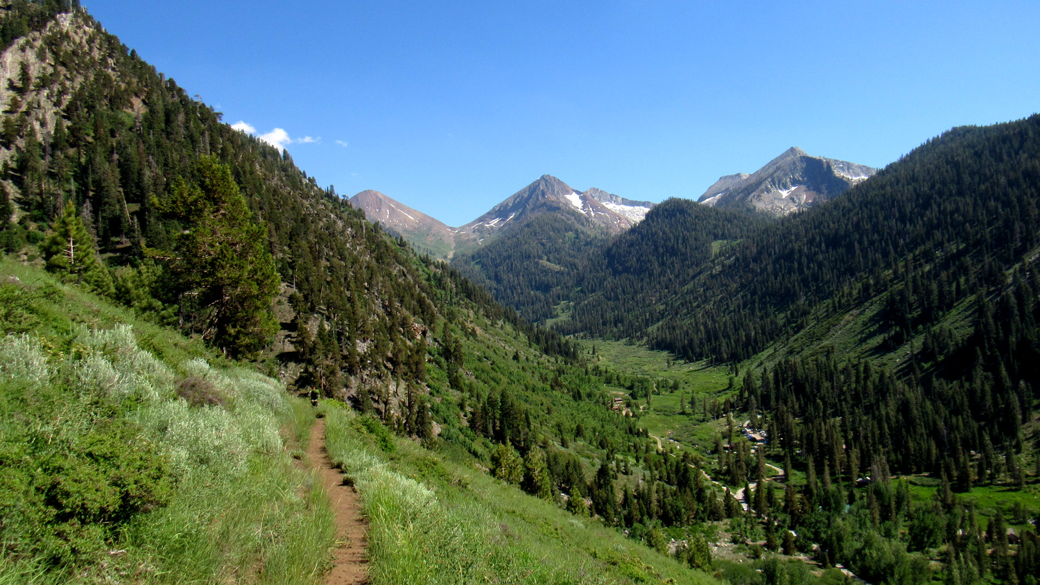
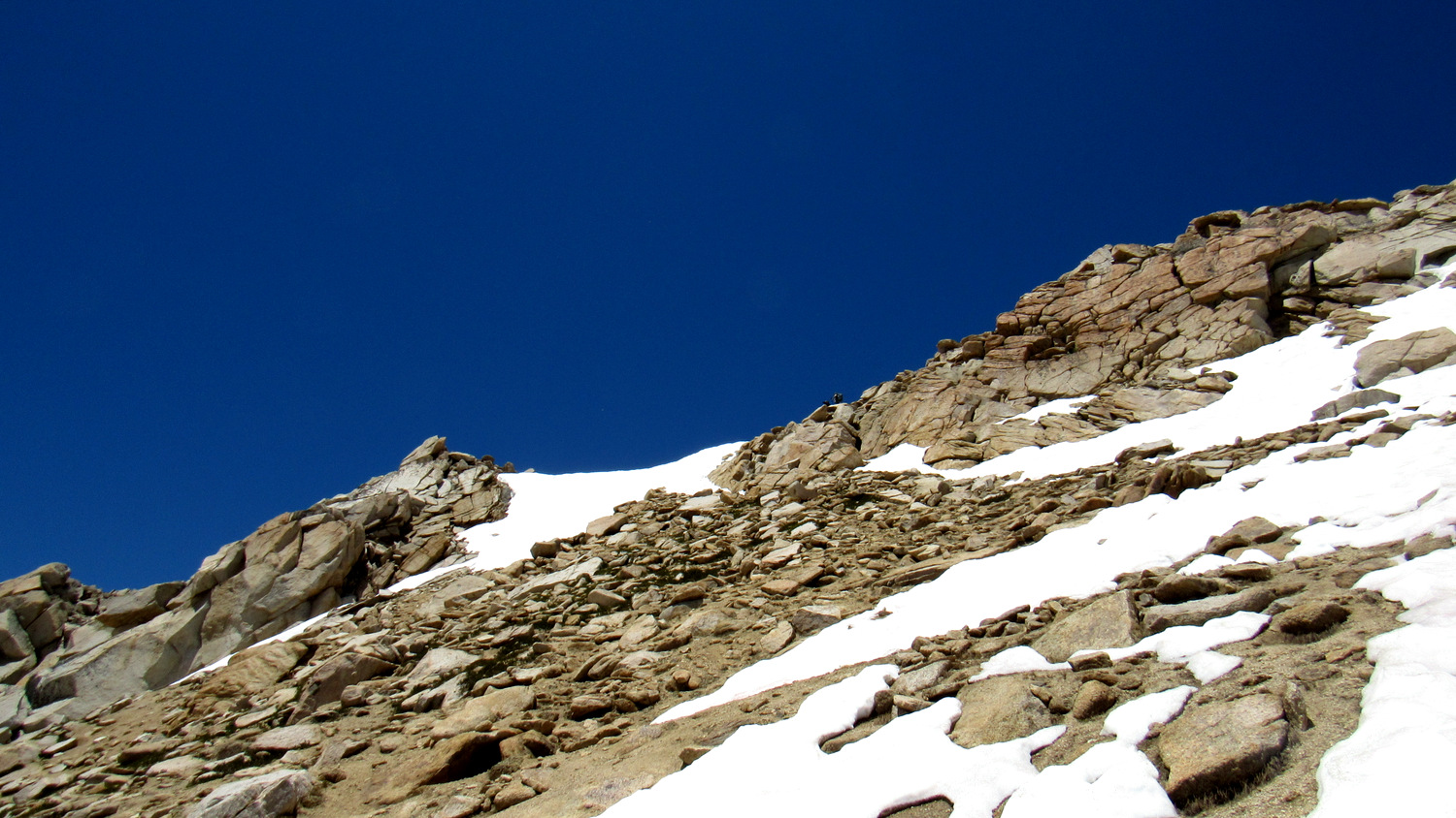
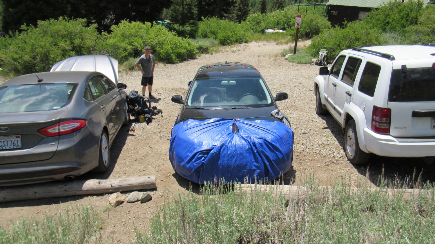
Looming high above the cavernous canyons of the forks of the Kaweah River, the Great Western Divide occupies a dominant position in the western half of Sequoia National Park. This formidable barrier, serrated with numerous glaciated peaks and peppered with sparkling lake basins, beckons to hikers determined to overcome altitude and fatigue in their pursuit of high country beauty. Of the many beautiful areas along the divide, the Five Lakes Basins (of which there are three) are perhaps the most alluring. While the scenic beauty of this route is undeniable, hikers attempting it should be in good physical condition. This looping route visits two of the three basins by way of two intimidating alpine mountain passes – Sawtooth and Black Rock. These passes, both of which exceed elevations of 11,000’ with steep, prolonged approaches, are only a part of what makes this route so challenging. Hikers will also have to climb up and over Timber Gap with a full pack, make their way down to Cliff Creek before starting a 4,500’ climb up Black Rock Pass, and then conquer the steep, sandy, cross-country ascent over Sawtooth Pass. Sequoia-Kings Canyon National Parks have recently revamped their permit system. Instead of the old “spend the day waiting for your fax to go through” system, the new 3-step process requires you to fill out the application and then email it to the park. After that, you receive a confirmation email indicating that you have the reservation. After that, you go to a government pay site to pay for the permit. Remember that the permit reservation is insufficient as a permit. You will still need to pick up your permit from the Mineral King Ranger Station either on the day before your hike or the day of your hike. This handy webpage allows you to see what kind of availability remains at each of Sequoia-Kings Canyon’s trailheads. A few cautions apply to this route. First, Mineral King plays host to a lively population of marmots – particularly during early summer – that struggle to tell your radiator hoses fro
Trail Stats
49.7 km
2834 m
3569 m
2144 m
—
Photos
Trail photo
No caption provided.

Trail photo
No caption provided.

Trail photo
No caption provided.
Trail photo
No caption provided.
Trail photo
No caption provided.

Trail photo
No caption provided.

Trail photo
No caption provided.

Trail photo
No caption provided.
Trail photo
No caption provided.
Trail photo
No caption provided.

Trail photo
No caption provided.

Trail photo
No caption provided.

Trail photo
No caption provided.

Trail photo
No caption provided.

Trail photo
No caption provided.

Trail photo
No caption provided.

Trail photo
No caption provided.

Trail photo
No caption provided.

Trail photo
No caption provided.

Trail photo
No caption provided.
Trail photo
No caption provided.
Trail photo
No caption provided.
Trail photo
No caption provided.
Trail photo
No caption provided.

Trail photo
No caption provided.

Trail photo
No caption provided.