10 min
Overview
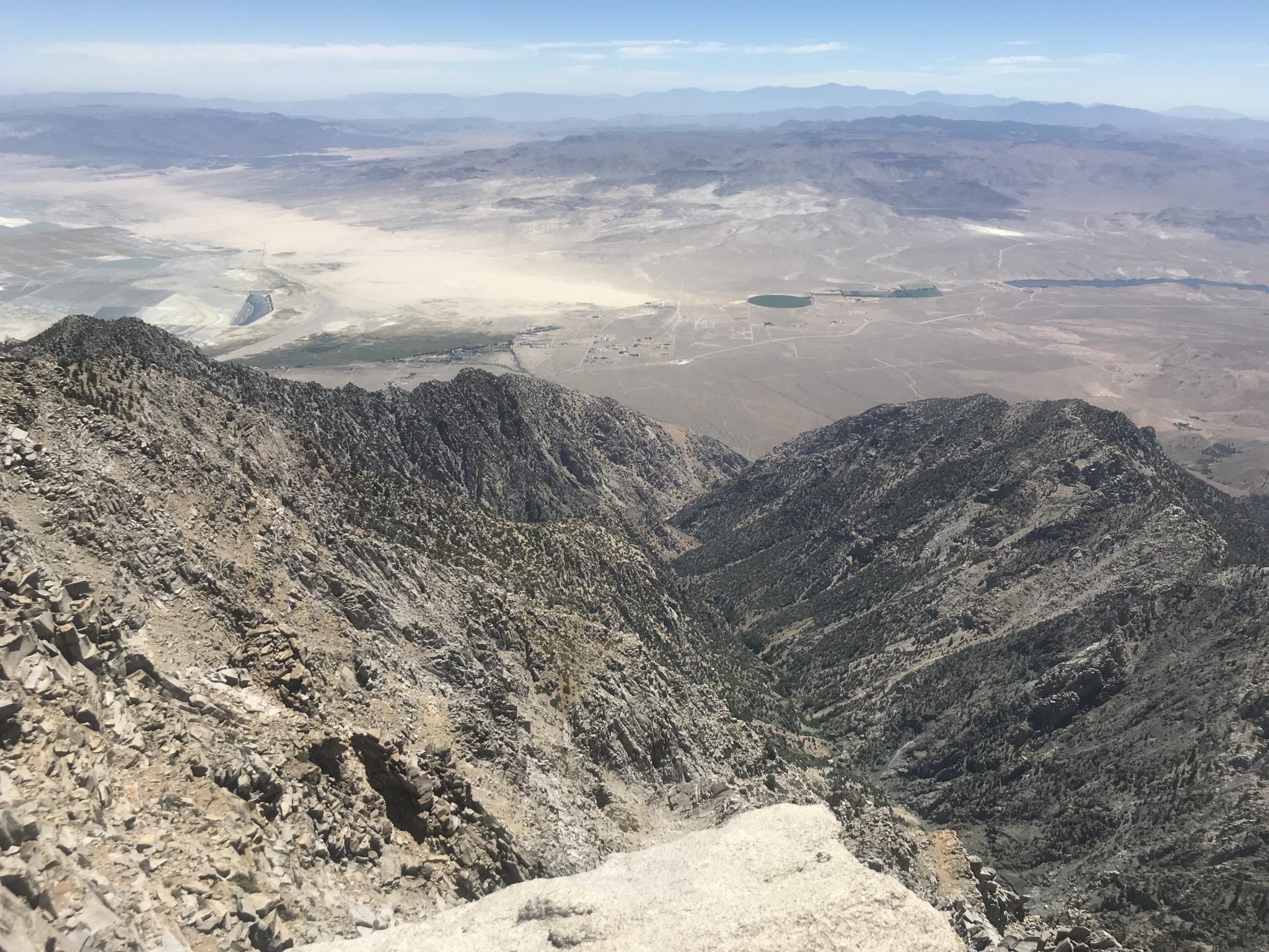
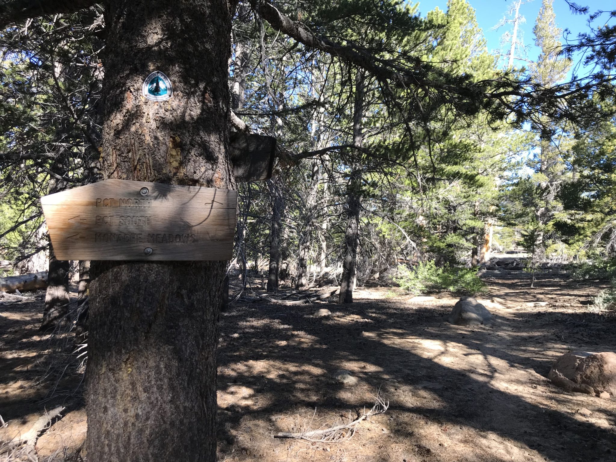
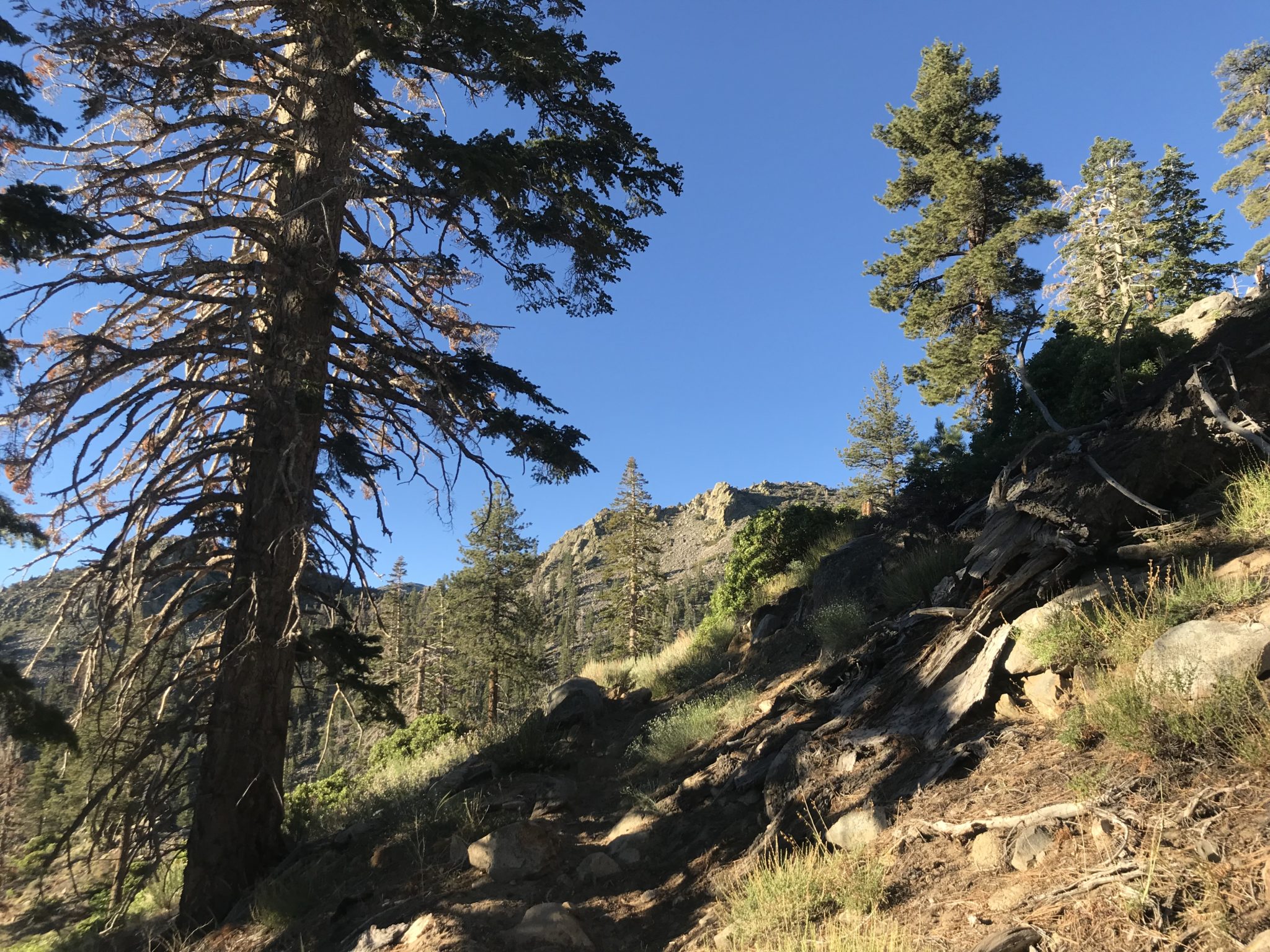
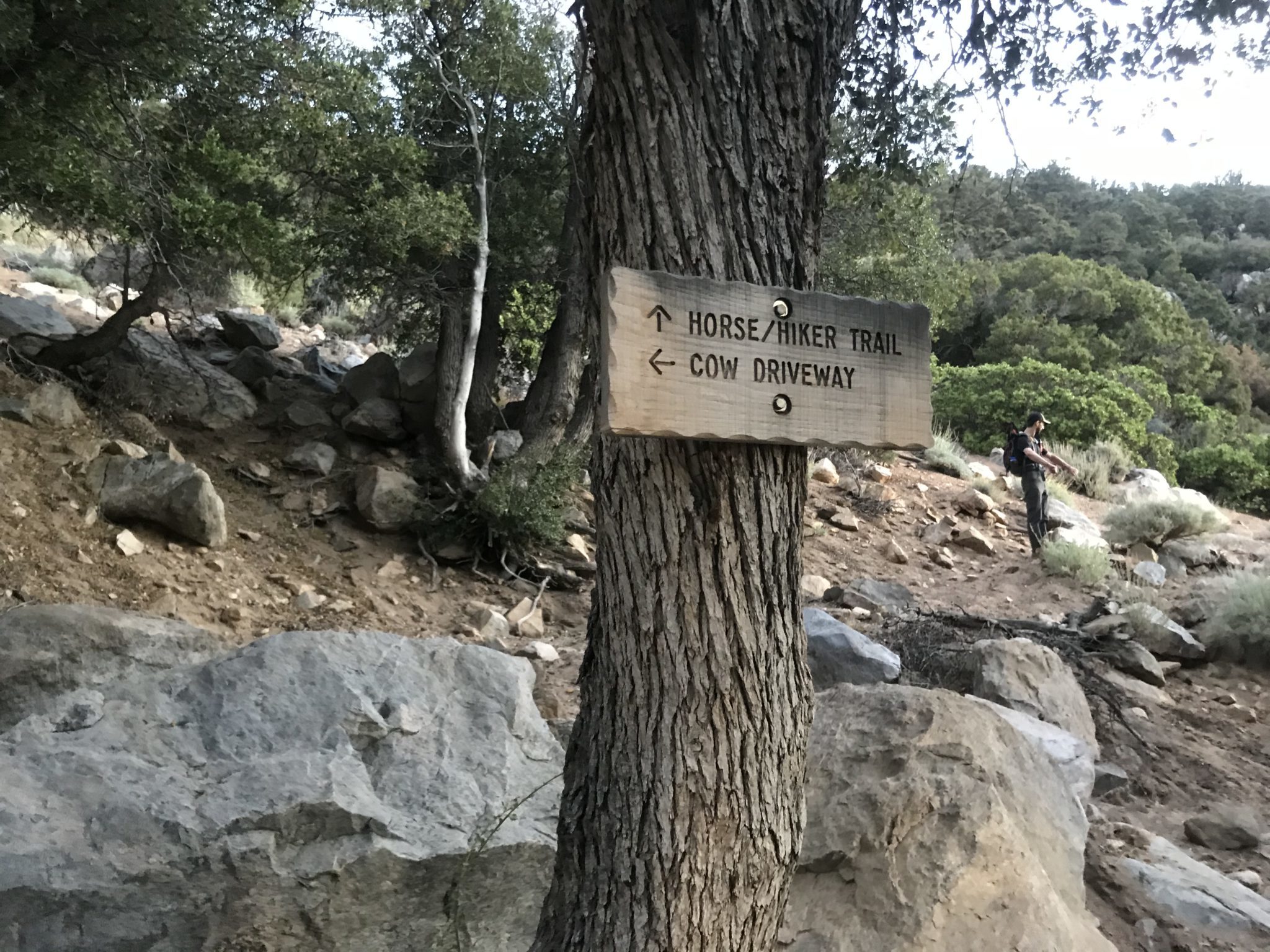
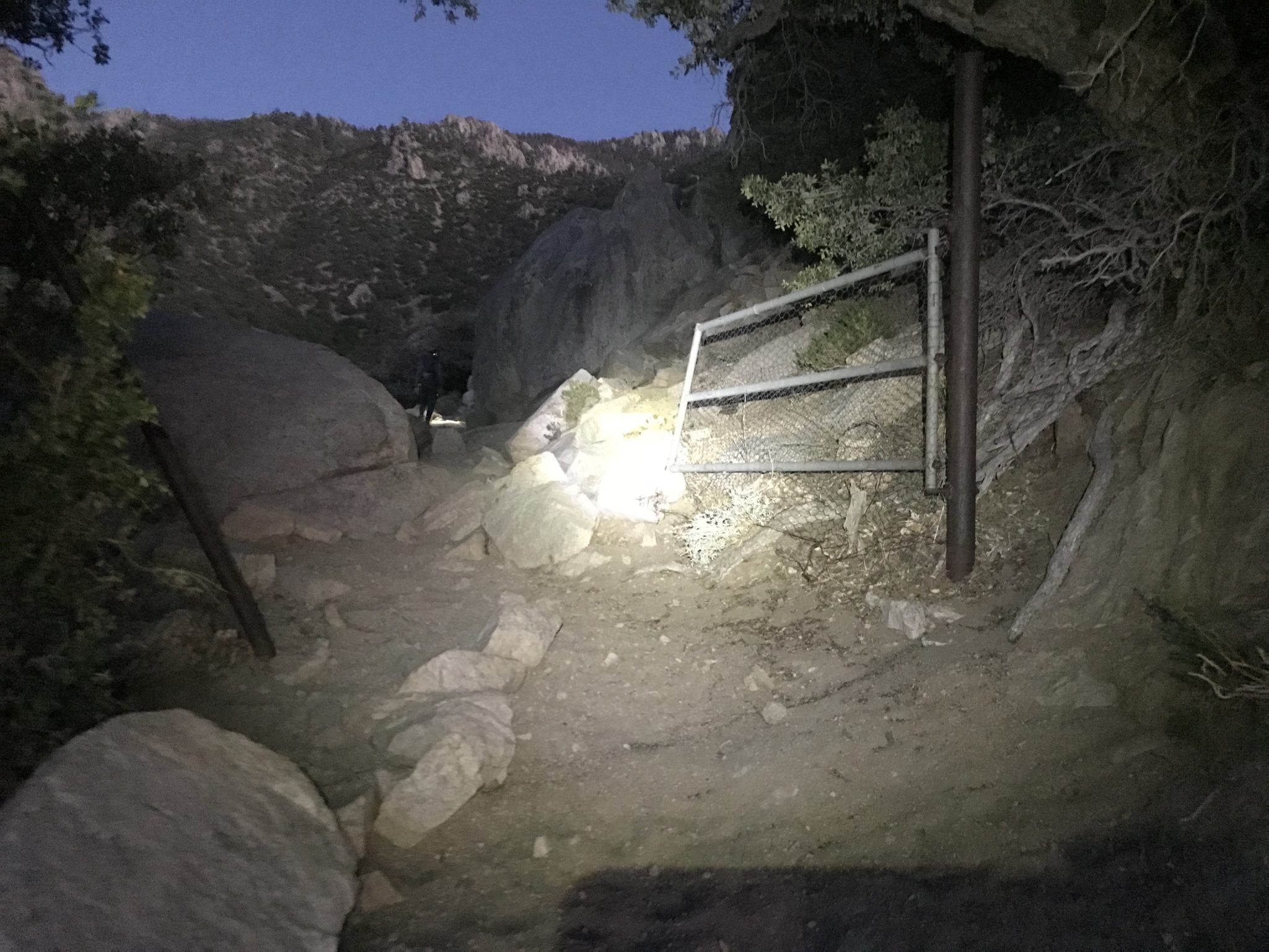
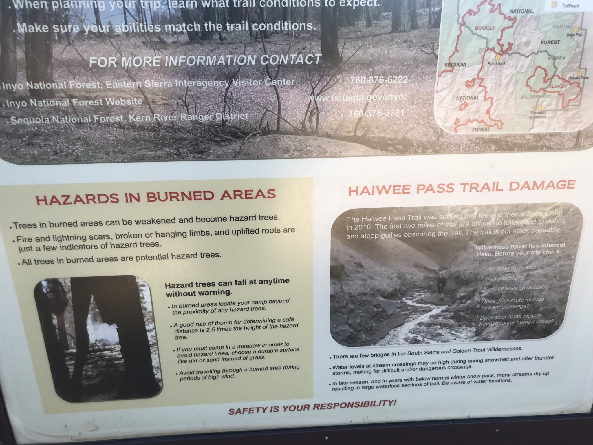
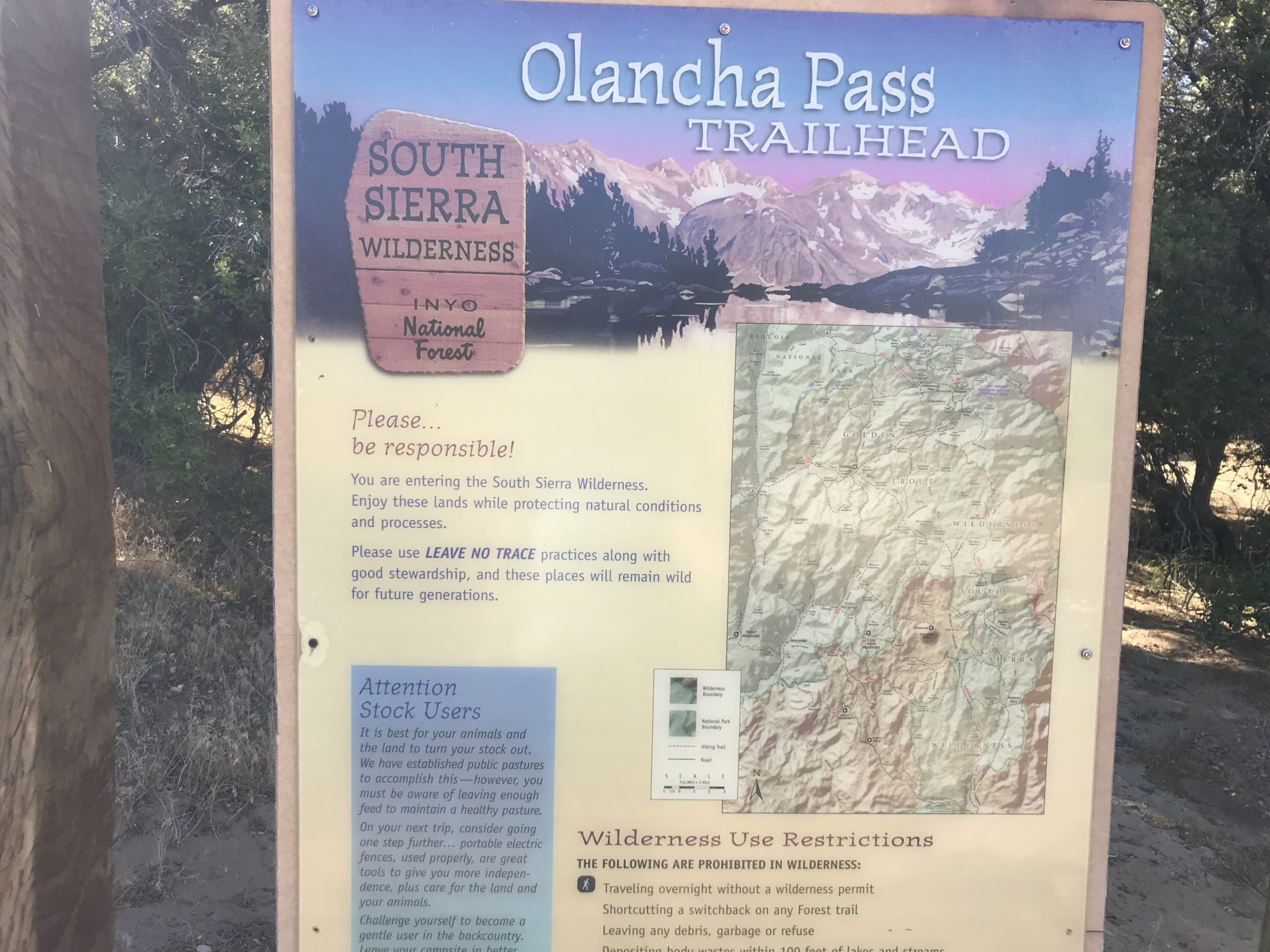
Do you want to hike part of the PCT and enjoy the peacefulness of the Sierra Nevada, all do-able as a day-trip from Southern California? Olancha Pass Trail is the right mix of adventure, solitude and beauty, without the need to travel many miles north on Route 395. Plus, there is the option to climb a 12,000+ foot peak with 360 degree views. After a “short” 2-3 hour drive from Los Angeles, turn left off Route 395 onto Sage Flats Road. This road is paved for a short distance and then becomes gravel as it approaches the Sierra foothills, ending at the Olancha Pass Trailhead. Take a moment to read the trailhead sign, as it provides useful information. This trail is a livestock trail as well; definitely watch where you step to avoid the cow pies! Trail sign with map Wilderness use restrictions (close up of previous sign) Information on burned areas Lower portion of sign about burned areas The first mile winds uphill adjacent to ranch property along a sandy trail. In fact, the trail is quite sandy and I advise using gaiters to avoid having to frequently empty your shoes. There is a barbed wire fence on the left. Stay right of the fence until you reach an opening allowing entrance to the canyon. The gap in the fence is large and hard to miss. Within a short distance, there is a gate which should be open. Gate leading into the canyon As you may notice from these headlamp-illuminated photos, this hike should be started early due to its length. However, other creatures (bears) are also awake in these early hours, so be aware and act accordingly; we passed fresh bear poop and heard rustling in the bushes nearby. In our group, we spoke loudly and often, made noise, and luckily didn’t encounter any bears or mountain lions. View back out of the canyon toward the Owens Valley After 1 mile, there is an intersection. Take the horse/hiker trail uphill to the right. Every now and then, be sure to look back at the Owens Valley for an excellent sunrise. The trail remained sandy as we made our way uphill. We soon reached the top of
Trail Stats
33.9 km
1432 m
3210 m
1765 m
—
Photos

Trail photo
No caption provided.
Trail photo
No caption provided.

Trail photo
No caption provided.

Trail photo
No caption provided.

Trail photo
No caption provided.

Trail photo
No caption provided.

Trail photo
No caption provided.

Trail photo
No caption provided.
Trail photo
No caption provided.
Trail photo
No caption provided.

Trail photo
No caption provided.

Trail photo
No caption provided.
Trail photo
No caption provided.
Trail photo
No caption provided.

Trail photo
No caption provided.

Trail photo
No caption provided.
Trail photo
No caption provided.

Trail photo
No caption provided.
Trail photo
No caption provided.
Trail photo
No caption provided.

Trail photo
No caption provided.

Trail photo
No caption provided.
Trail photo
No caption provided.