12 min
Overview
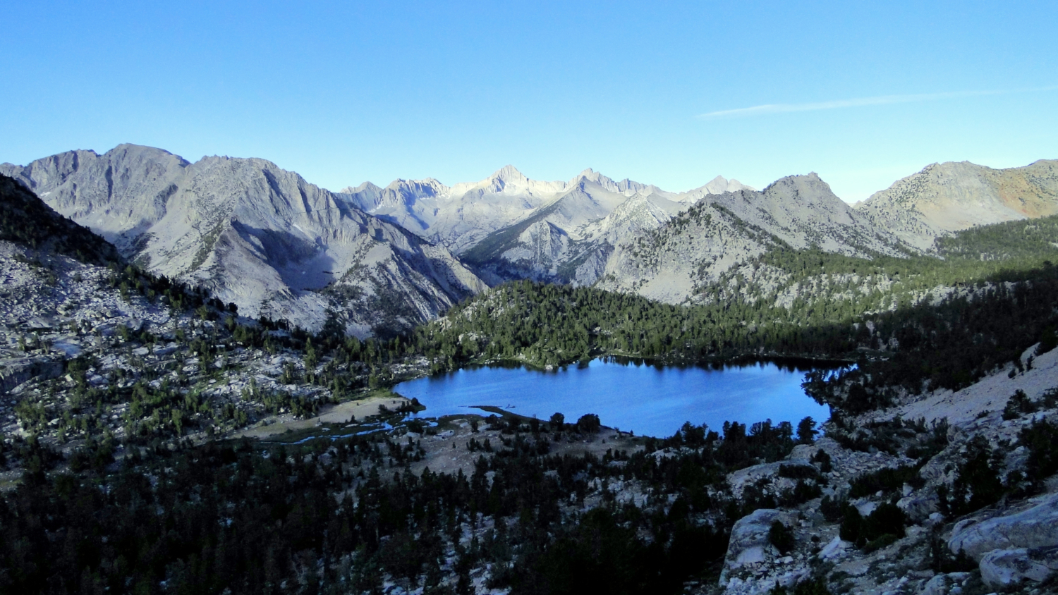
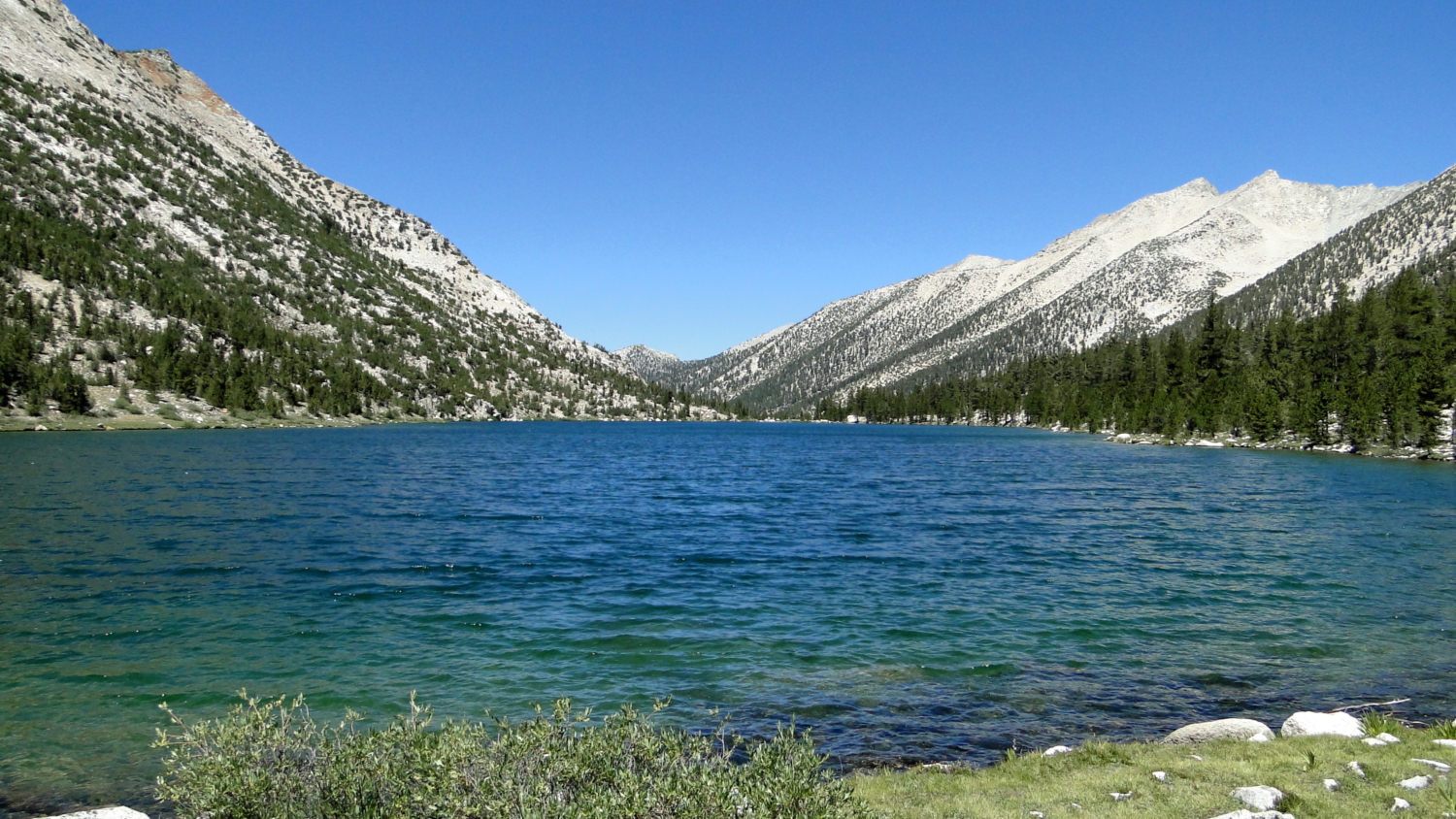
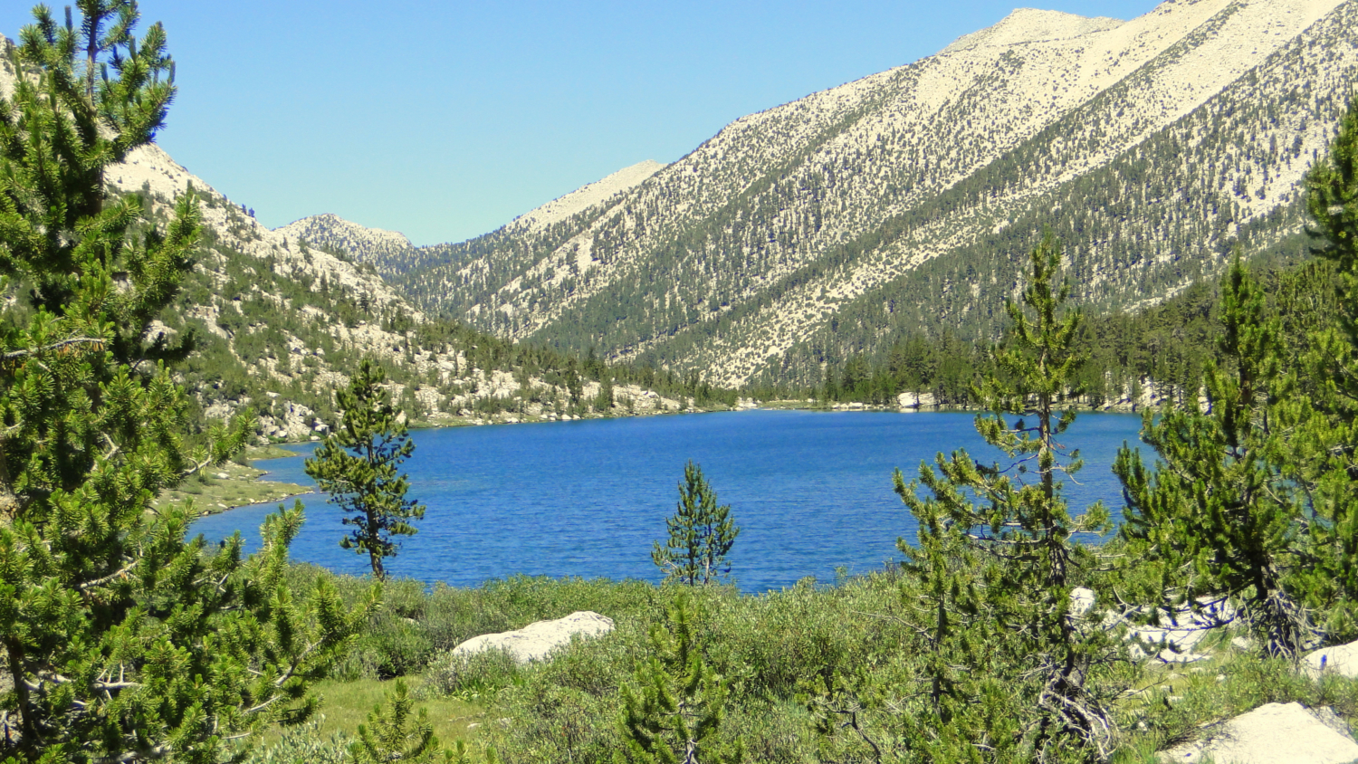
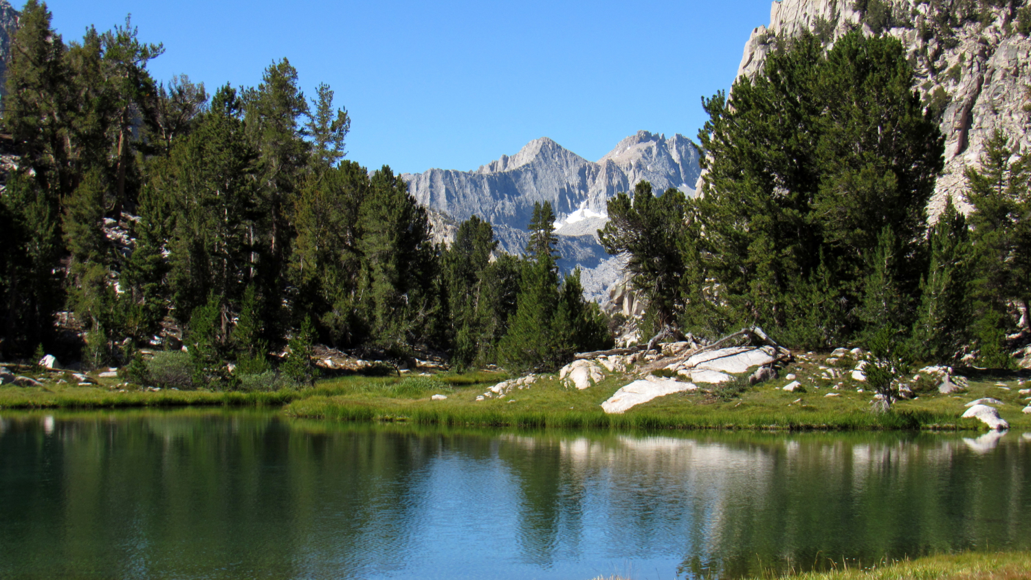
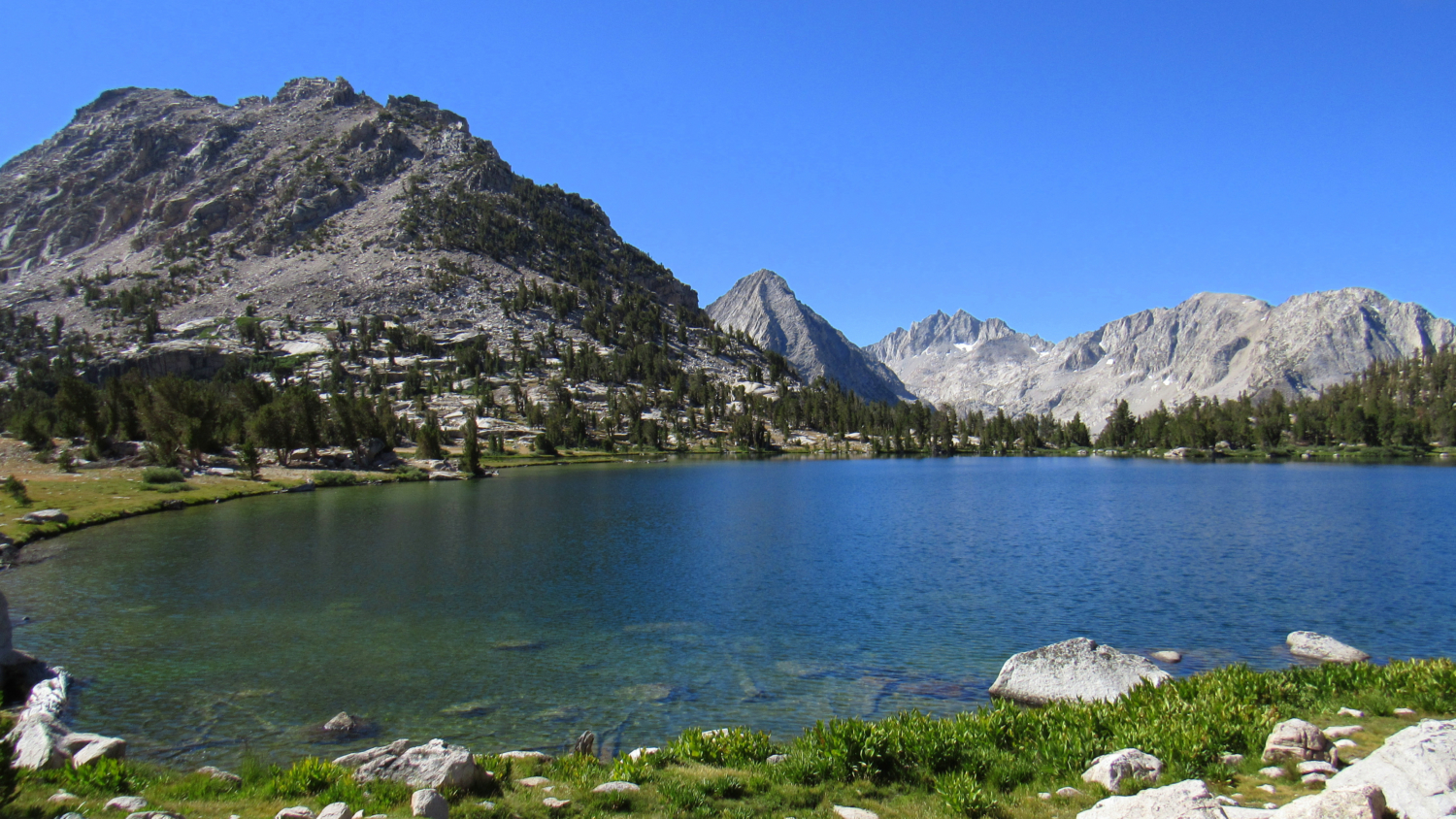
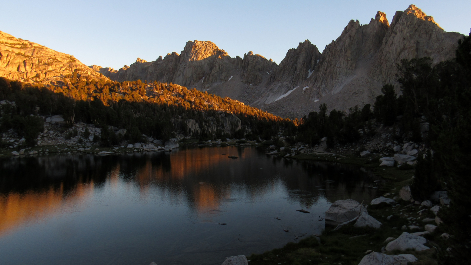
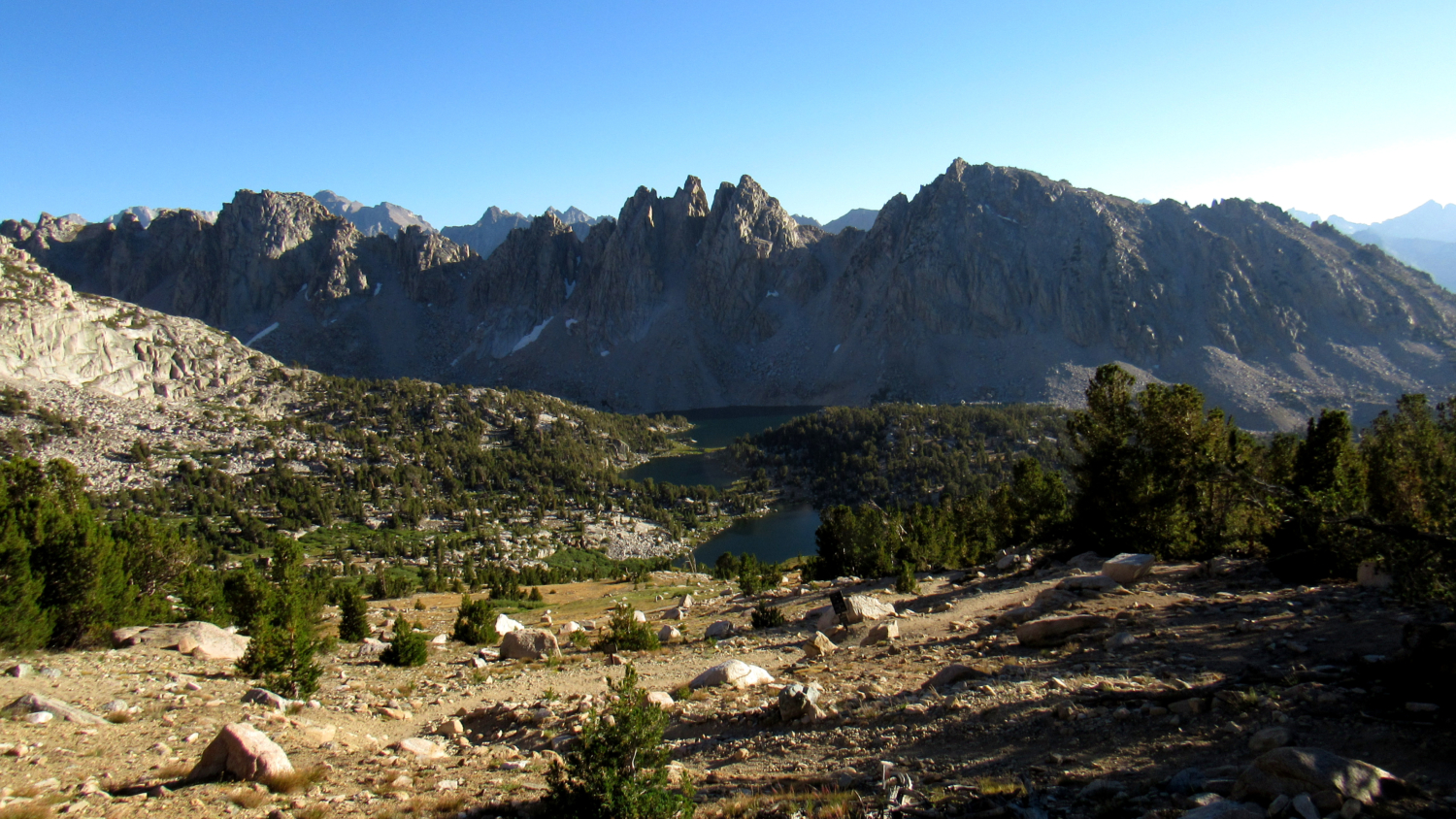
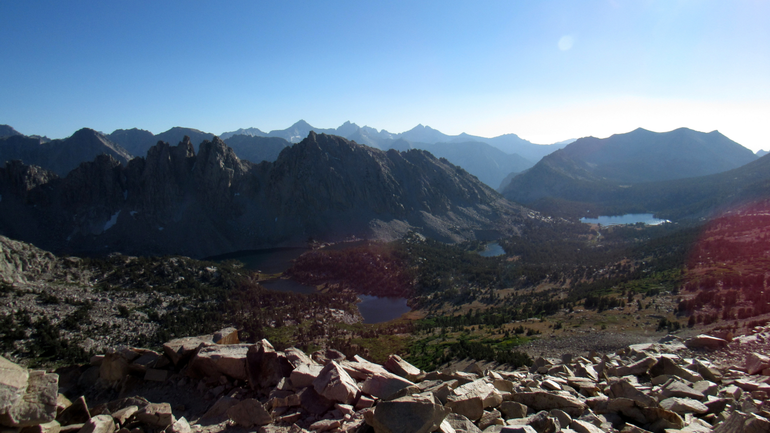
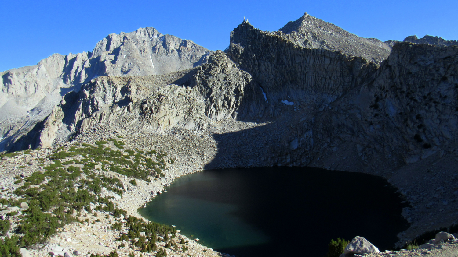
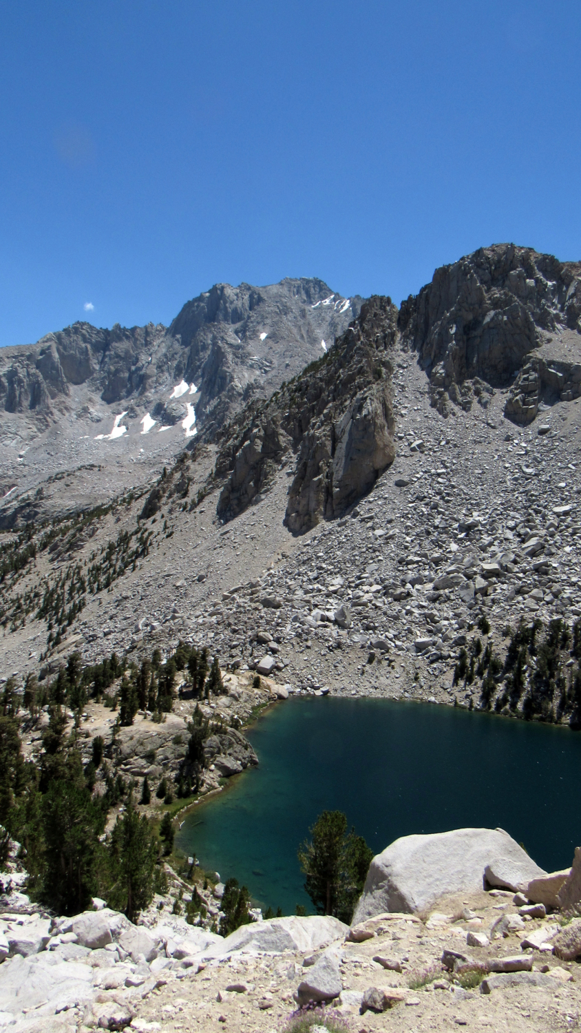
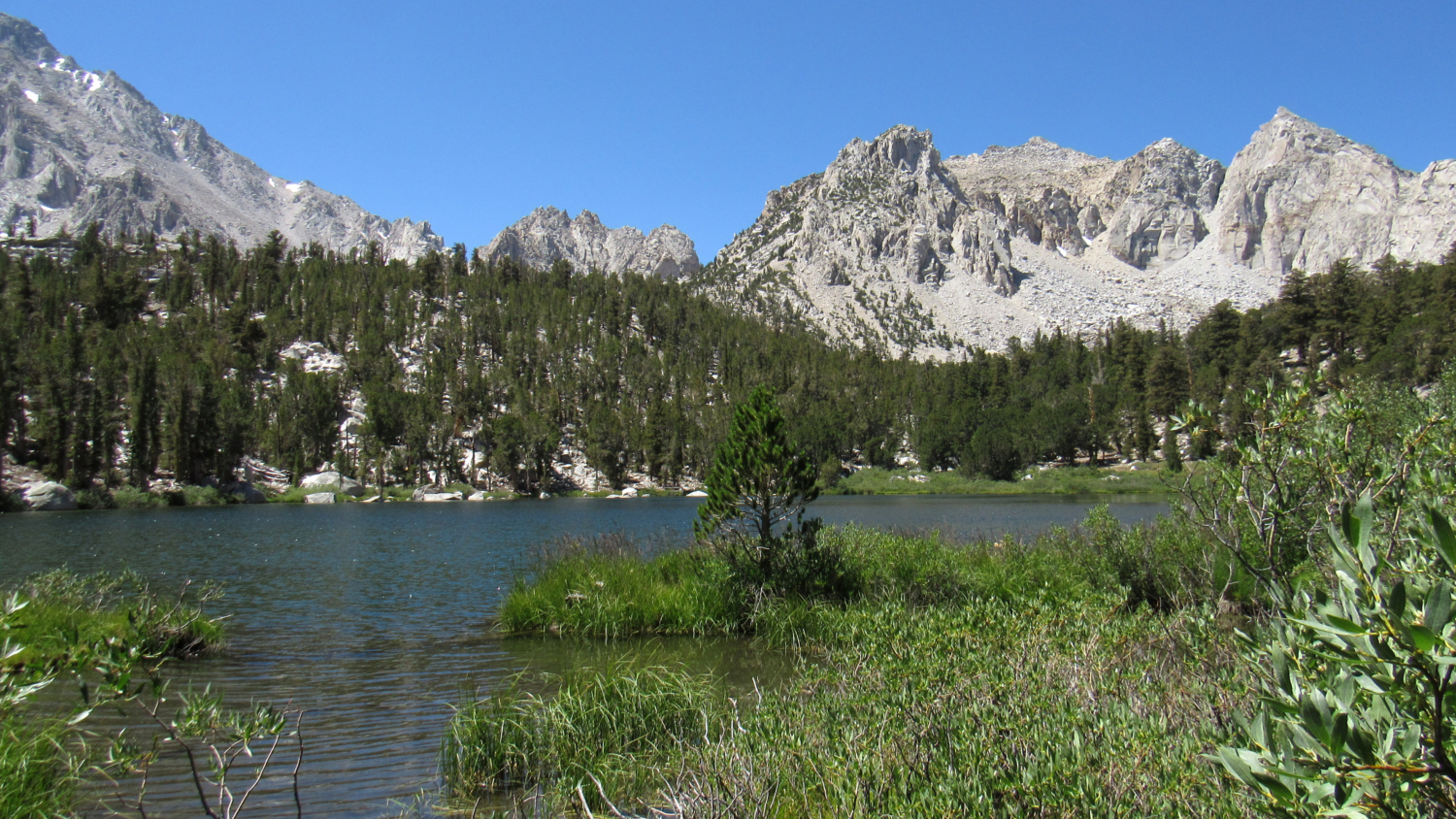
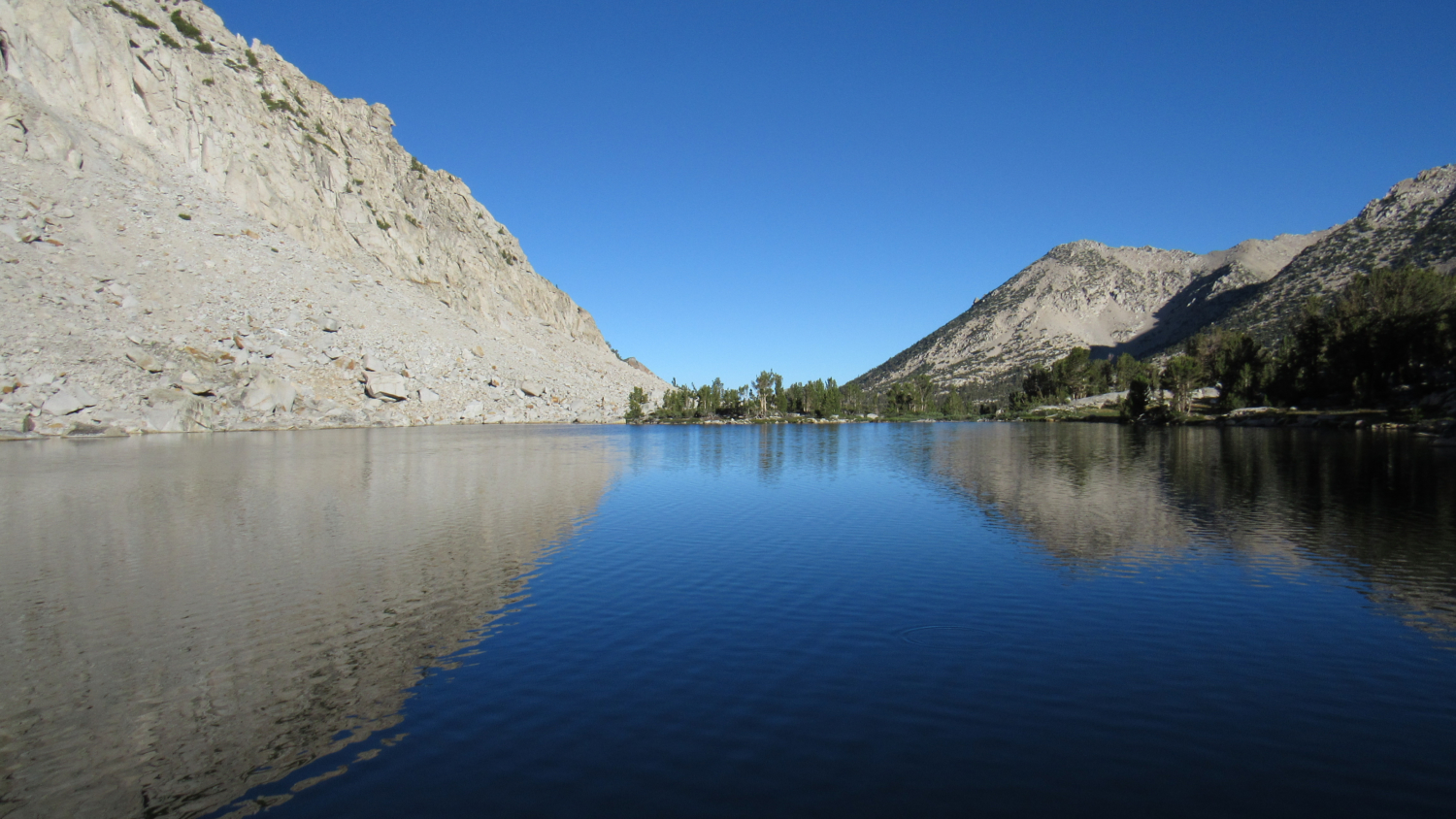
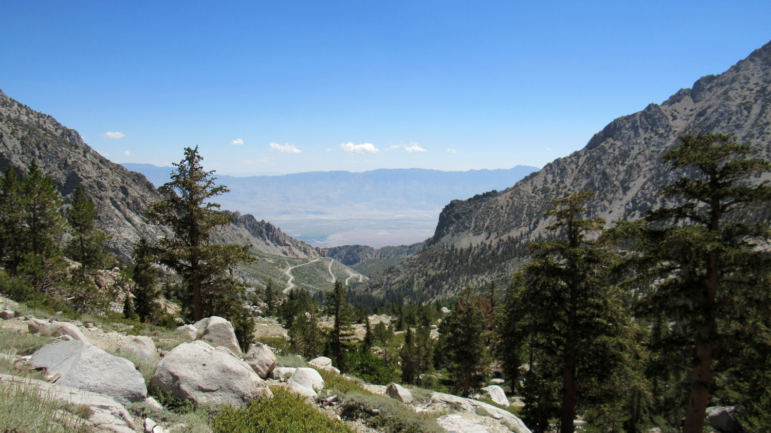
West of the town of Independence, the scrub-covered Owens Valley swells toward the imposing escarpment of the eastern Sierra Nevada Mountains culminating in the spectacular alpine habitats of the Sierra Crest. This hiker’s playground features some of the most popular and highly visited montane destinations in Southern California, including Mt. Whitney, the Cottonwood Lakes, and Onion Valley. Looking east into Onion Valley and the Owens Valley beyond The third destination in this trio, Onion Valley, is a heavily used portal into the eastern Kings Canyon high country by way of Kearsarge Pass. Countless John Muir Trail (JMT) and Pacific Crest Trail (PCT) through-hikers rely on the pass as a convenient resupply point on their long journeys through the Sierra. For the less ambitious backpacker, Onion Valley also provides access to the lake-studded, subalpine Kearsarge Basin by way of the winding Kearsarge Pass Trail. Charlotte Lake at dusk While most Sierran excursions tend to involve long, multi-day trips deep into the wilderness, a trip into Kearsarge Basin provides a middle ground for hikers who are either new to backpacking or simply wish to explore a beautiful place in a leisurely, circuitous fashion. The numerous lakes within the basin ought to provide enough casual exploration over the span of 3, possibly even 4 moderate days of backpacking. The Third of the Kearsarge Lakes In order to camp within the basin, you will need to obtain a wilderness permit.This permit applies across Inyo National Forest, Kings Canyon National Park, and even Sequoia National Park. Inyo National Forest allows hikers to reserve up to 36 permits per day, with another 24 held in reserve for walk-ups. An additional set of restrictions associated with wilderness permits in Inyo National Forest can be reviewed here: High demand for Kearsarge Pass permits notwithstanding, the reservation process is quite simple. First, visit Recreation.gov’s Inyo National Forest Wilderness Permits Page. Next, select your permit type for a specific trail
Trail Stats
28.7 km
1341 m
3595 m
2797 m
—
Photos
No Title
No Title
No Title
No Title
No Title
No Title
No Title
No Title
No Title
No Title
No Title
No Title
No Title
No Title
No Title
No Title
No Title
No Title
No Title
No Title
No Title
No Title
No Title
No Title
No Title
No Title

No Title
No Title
No Title
No Title