9 min
Overview
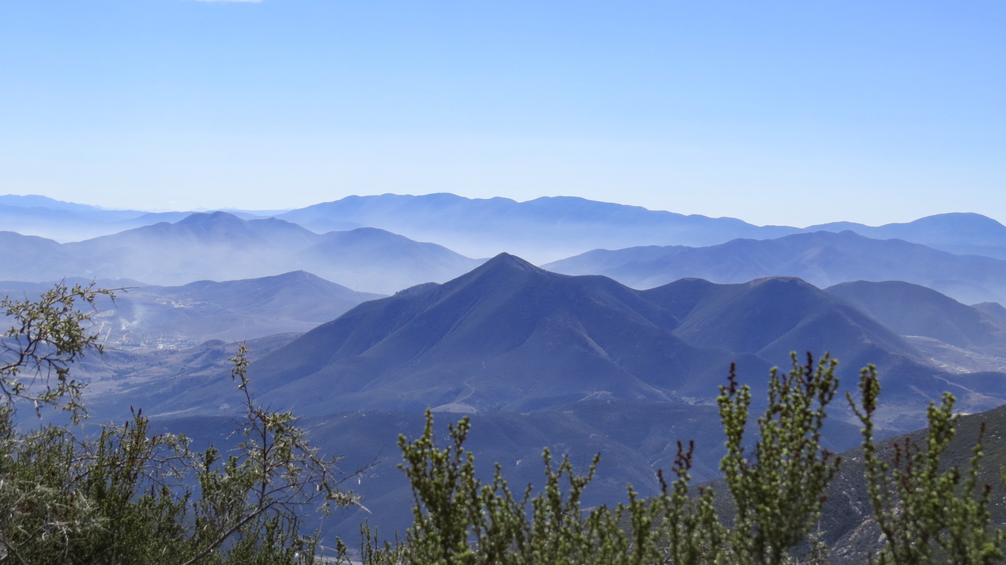
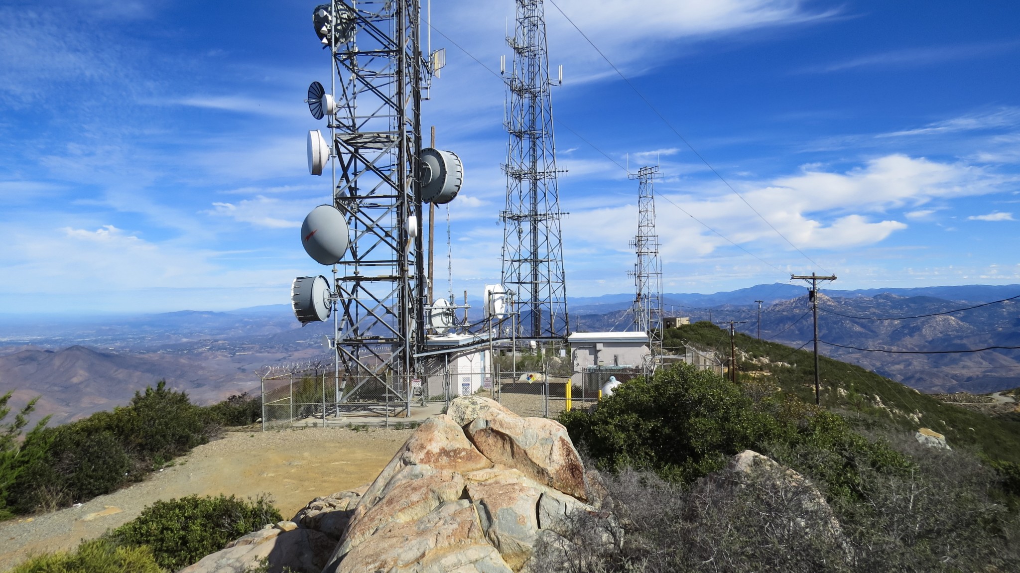
Every so often during SoCal winters, a Pacific storm will blow through and sweep away just about every bit of air pollution as it makes its way east. In the aftermath of one of those storms, the atmosphere across the southland shimmers and sparkles with diamond clarity. Pick a day like this for the long, winding approach to the summit of Otay Mountain. From this rolling, rumpled peak encompassed in federal wilderness, you will enjoy some of the best bi-national views peering as far as 115 miles north into the United States and nearly as far into Mexico. Although the mountain lies within a Federal Wilderness, the usual rules against vehicles and bikes do not apply. Several thin strips of land not included within the wilderness surround the various truck trails that access the antenna arrays at the summit. The reason for this exception is the Border Patrol, which prowls the mountain monitoring the activity of illegal migrants. You are virtually guaranteed some level of interaction with Border Patrol agents on this route, which may be a bit off-putting for some. On the two times I hiked this mountain, I saw numerous Border Patrol vehicles, but did not have any more interaction beyond a lazy wave from an agent who was parked at a picturesque turn-off. In addition to vehicles, we should note that mountain bikes are allowed on the road as well. Travel through a wilderness area is a rare treat for mountain bikers whose vehicles are otherwise banned from federal and state wilderness areas. With the mountain’s proximity to the International Border, a standard caveat applies: it’s always a good idea to hike in a group here. Most of the cross-border traffic – at least what little escapes the vigilance of the Border Patrol – is simply migrant traffic. But in the unlikely event that you encounter something more sinister, safety in numbers is a reasonable policy to adopt for this hike. Southern mountain misery Beyond the magnificent views, a few botanical oddities may interest dendrophiles and phytophiles. The rare Tecate
Trail Stats
25.0 km
792 m
1084 m
374 m
—
Photos

Trail photo
No caption provided.
Trail photo
No caption provided.
Trail photo
No caption provided.

Trail photo
No caption provided.

Trail photo
No caption provided.

Trail photo
No caption provided.

Trail photo
No caption provided.

Trail photo
No caption provided.

Trail photo
No caption provided.

Trail photo
No caption provided.
Trail photo
No caption provided.

Trail photo
No caption provided.