9 min
Overview
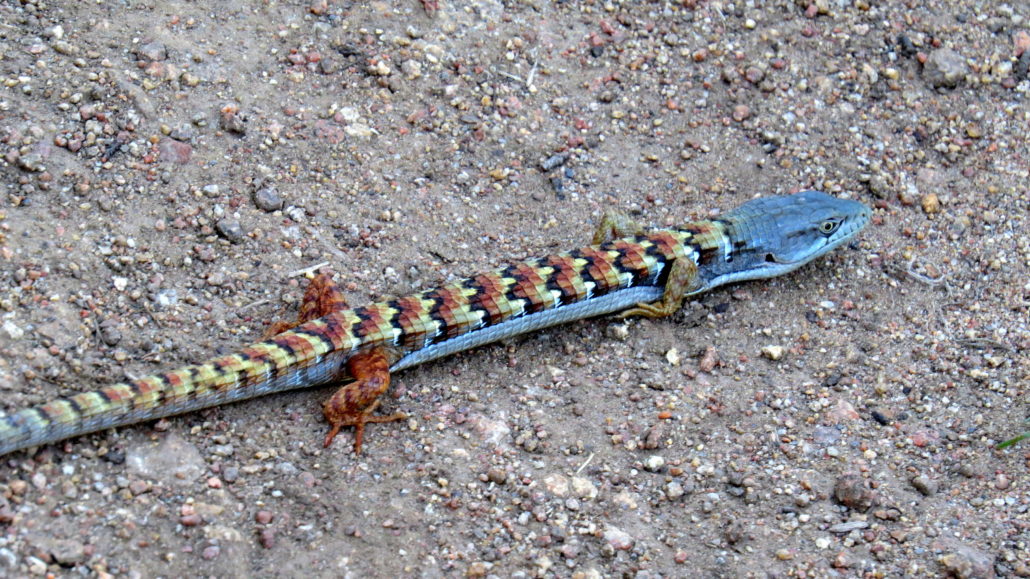
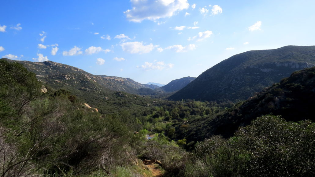
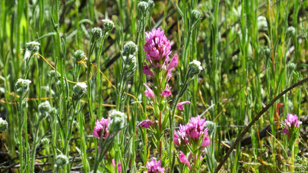
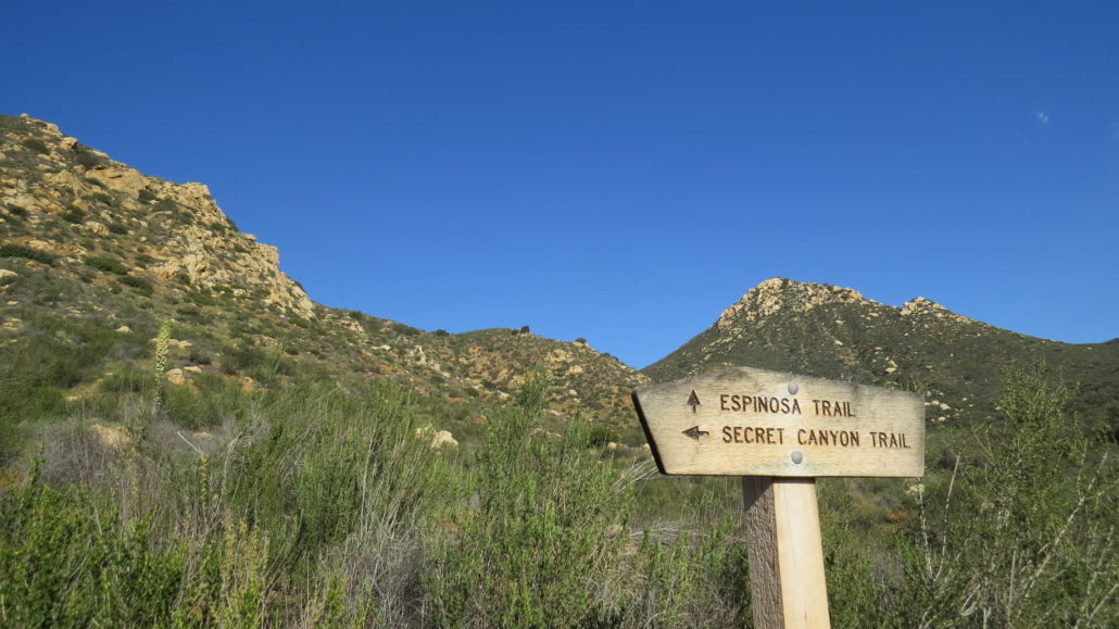
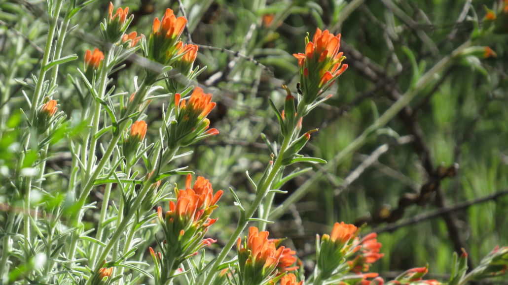
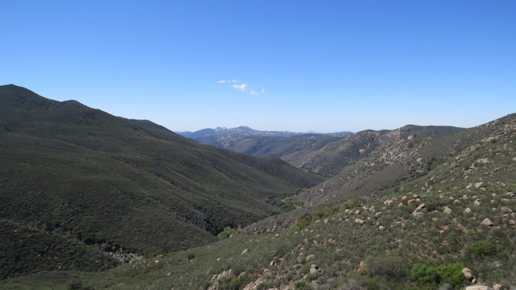
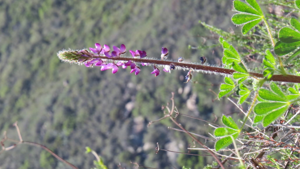
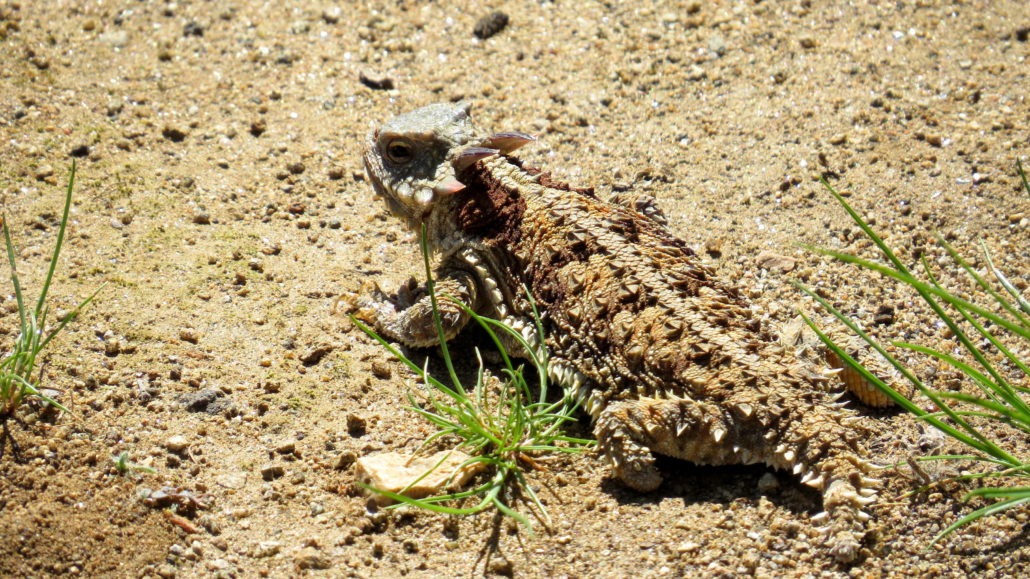
The Secret Canyon Trail traverses the length of the Pine Creek Wilderness south and slightly west of Pine Valley in the Cleveland National Forest. Despite being close to the city and easily accessed, much of the landscape within the wilderness is remote and accessible only via this long, point-to-point route. This route is conducive to backpacking, with three crossings of a fairly reliable seasonal creek and numerous flat spots for camping available to campers. Pine Valley Creek Gorge This 15.6 mile trail passes through the rugged, isolated gorge of Pine Valley Creek. At times, the trail follows a well-preserved flume grade once intended to shuttle water into a reservoir in Pine Valley. After crossing Pine Valley Creek, the trail enters Secret Canyon, which is one of the less accessible canyons in Cleveland National Forest. Beyond Secret Canyon, the trail terminates at a junction with the Espinosa Trail, which drops down into a popular watering hole at a junction with Pine Valley Creek and Horsethief Canyon. Paintbrush Folks looking to backpack will wish to obtain a backcountry camping permit from the Descanso District of Cleveland National Forest. You can print out a copy of the permit from this page and fax it into the Descanso District Office. After approving the permit, the district will send the permit back via mail. It’s best to allow at least a week to ten days for the approval process. Horned Lizard Also keep in mind that this is a shuttle hike, which means that you will have to either arrange pick-up or leave a car at the Horsethief Canyon Trailhead. This slightly convoluted transportation scheme provides the benefit of not having to double back, as the full out-and-back route would scrape a total of 32 miles. You also get to enjoy the luxury of not repeating any terrain; for all of the logistical hassles, shuttle hikes are a lot of fun for this very reason. Secret Canyon Trail through Oak Woodland One other factor to keep in mind is that the Secret Canyon Trail was once a corridor from migrant traffic
Trail Stats
26.0 km
457 m
1124 m
597 m
—
Photos
Trail photo
No caption provided.
Trail photo
No caption provided.
Trail photo
No caption provided.
Trail photo
No caption provided.
Trail photo
No caption provided.
Trail photo
No caption provided.
Trail photo
No caption provided.
Trail photo
No caption provided.