7 min
Overview
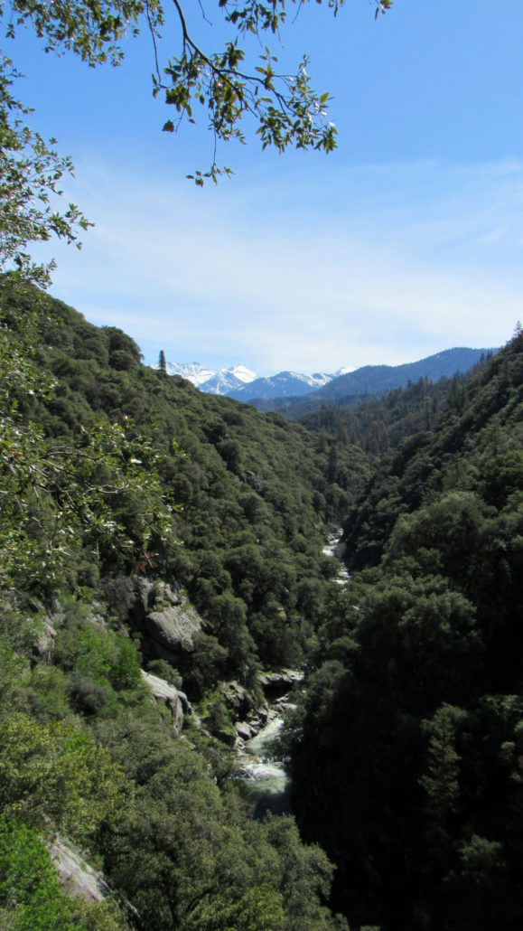
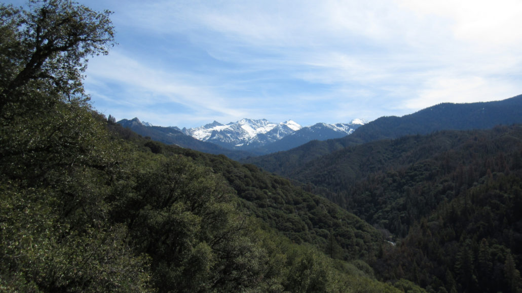
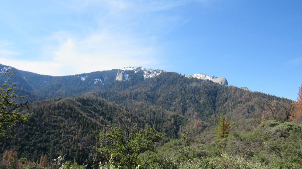
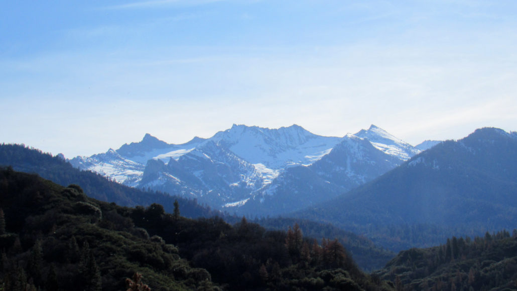
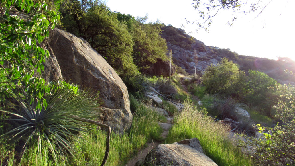
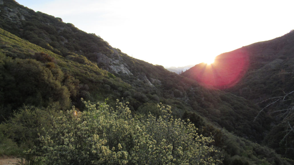
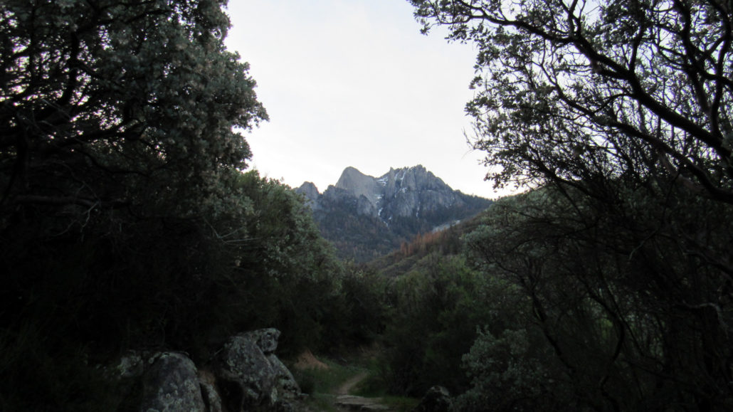
Sequoia National Park’s western half comprises nearly the entirety of the Kaweah River watershed. Five distinct forks (North, Marble, Middle, East, and South) feed the larger Kaweah River at their various confluences in and around the town of Three Rivers. Although the North, Marble, East, and South Forks all carry an impressive volume of water toward the great reservoir of Lake Kaweah, the Middle Fork, generally considered the main fork, is the longest, largest, and most impressive of the forks. Many of Sequoia National Park’s finest footpaths follow the northern wall of the Middle Fork’s impressive canyon. Moro Rock juts out over the canyon bottom several thousand feet above. The High Sierra Trail runs along the middle elevations before following Hamilton Creek to the Middle Fork’s headwaters near Kaweah Gap. Higher still, the Alta Trail runs the length of Giant Forest before ascending to the summit of Alta Peak, which stands nearly 10,000’ above the park’s Ash Mountain Entrance. However, none of those trails come close to the actual river itself. For a more intimate experience with the Middle Fork, the Middle Fork Trail allows hikers to experience the numerous habitats of the foothills as it gradually ascends deep into the Middle Fork toward Redwood Meadow and connecting trails with the high country at Bearpaw Meadow and Cliff Creek. Given the Middle Fork’s lower elevations (generally between 3,000’ and 6,000’), summertime temperatures are generally too oppressive to make this hike enjoyable and safe. Fall, winter, and especially springtime are the best times to enjoy this route, and the Middle Fork Trail is Sequoia’s best option for off-season backcountry travel. Day-hikers can penetrate about as far as Mehrten Creek, while backpackers can follow the trail to its end near Redwood Meadow provided high water at several major crossings does not prevent travel. If you are traveling the route in the spring, it is best to consult with rangers at the Foothill Visitor Center regarding current conditions. Hikers sho
Trail Stats
19.8 km
731 m
1455 m
993 m
—
Photos

Trail photo
No caption provided.

Trail photo
No caption provided.
Trail photo
No caption provided.
Trail photo
No caption provided.
Trail photo
No caption provided.

Trail photo
No caption provided.

Trail photo
No caption provided.
Trail photo
No caption provided.

Trail photo
No caption provided.

Trail photo
No caption provided.

Trail photo
No caption provided.

Trail photo
No caption provided.
Trail photo
No caption provided.

Trail photo
No caption provided.
Trail photo
No caption provided.

Trail photo
No caption provided.
Trail photo
No caption provided.

Trail photo
No caption provided.
Trail photo
No caption provided.

Trail photo
No caption provided.