6 min
Overview
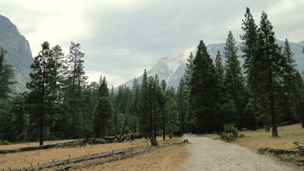
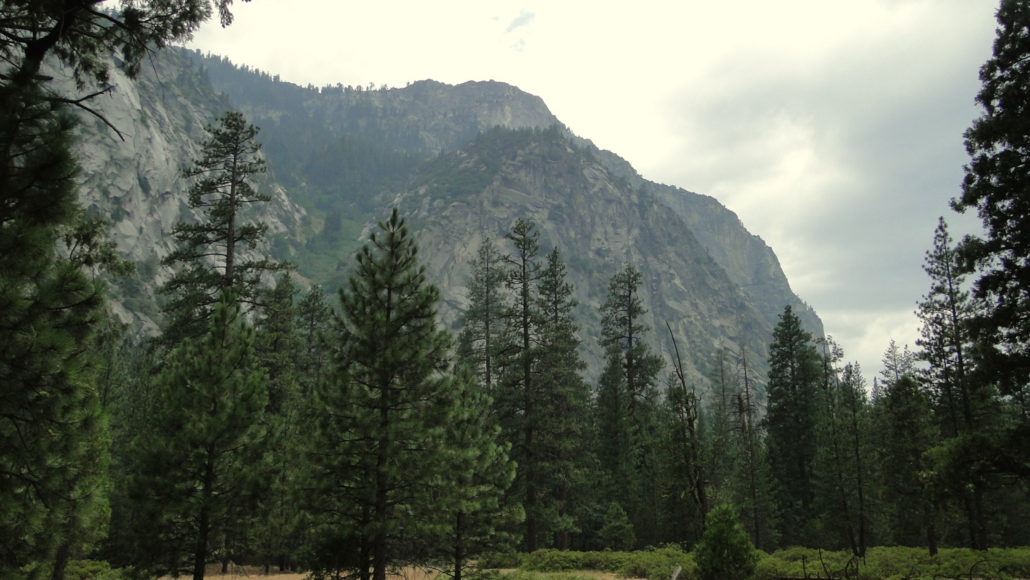
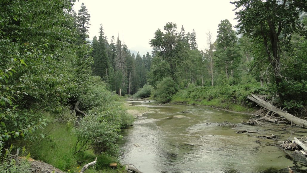
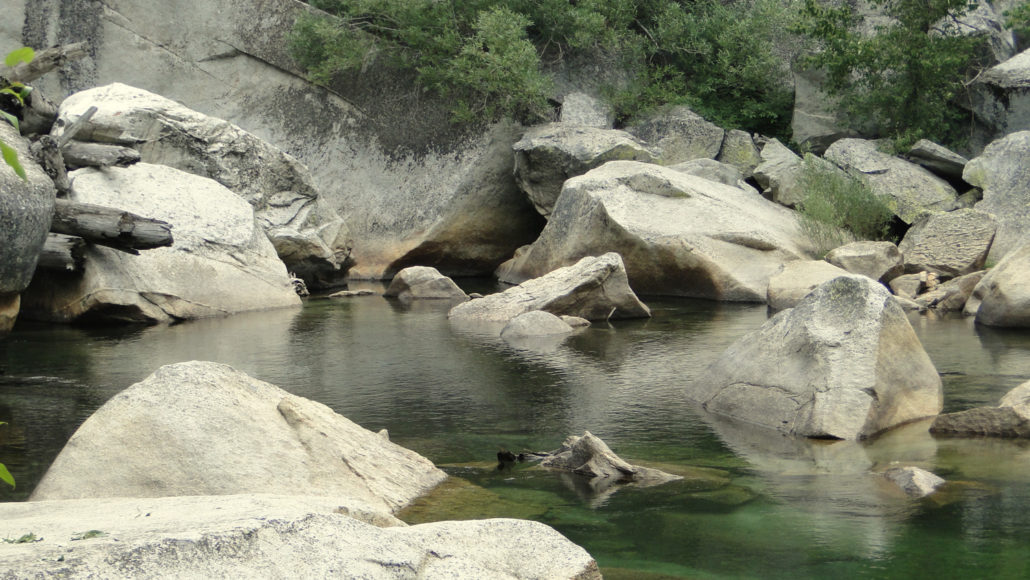
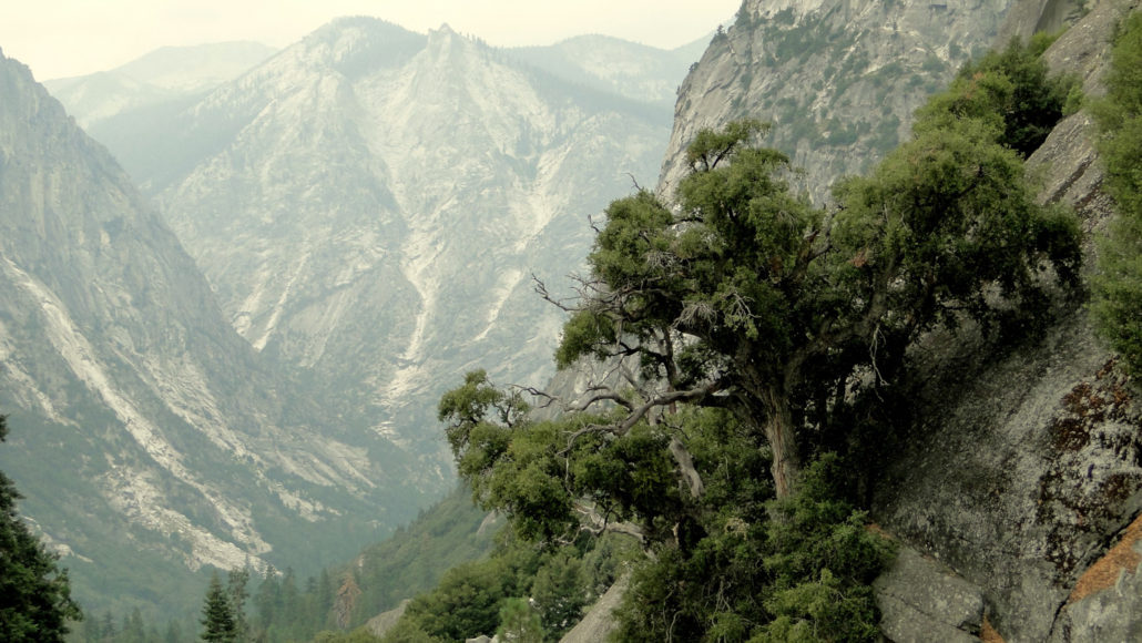
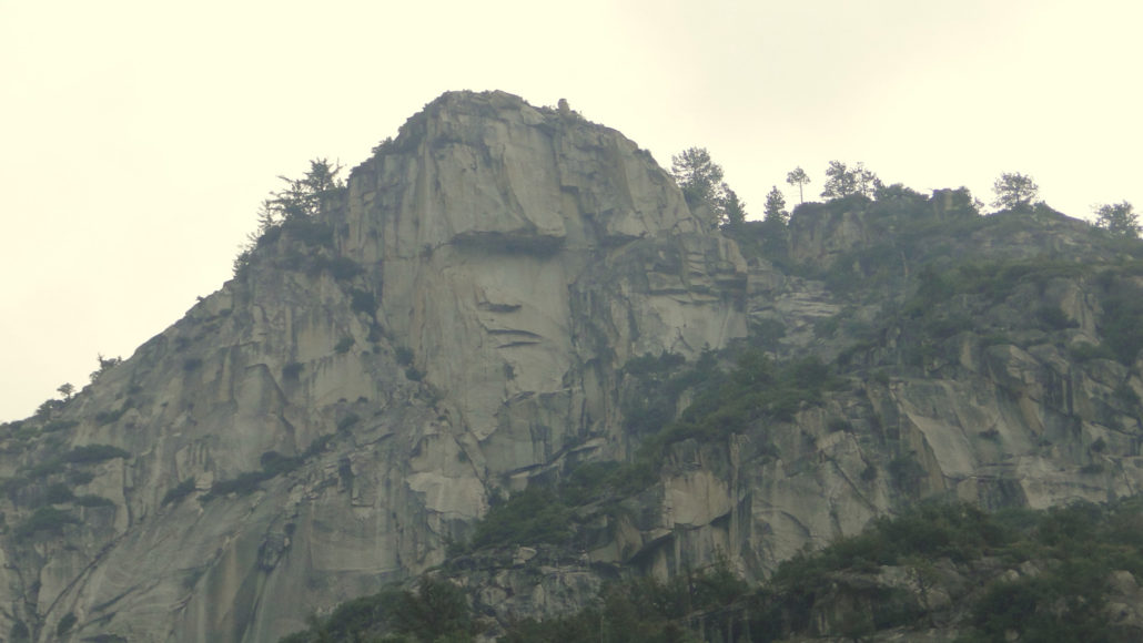
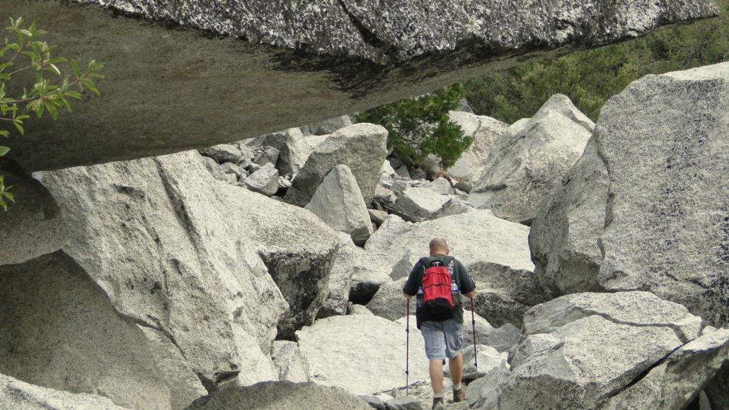
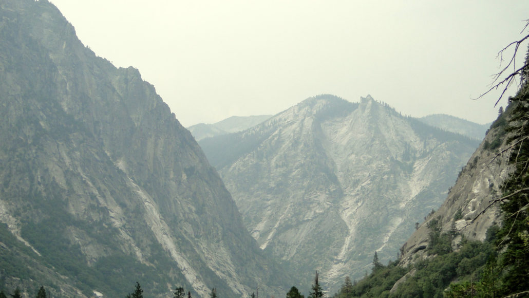
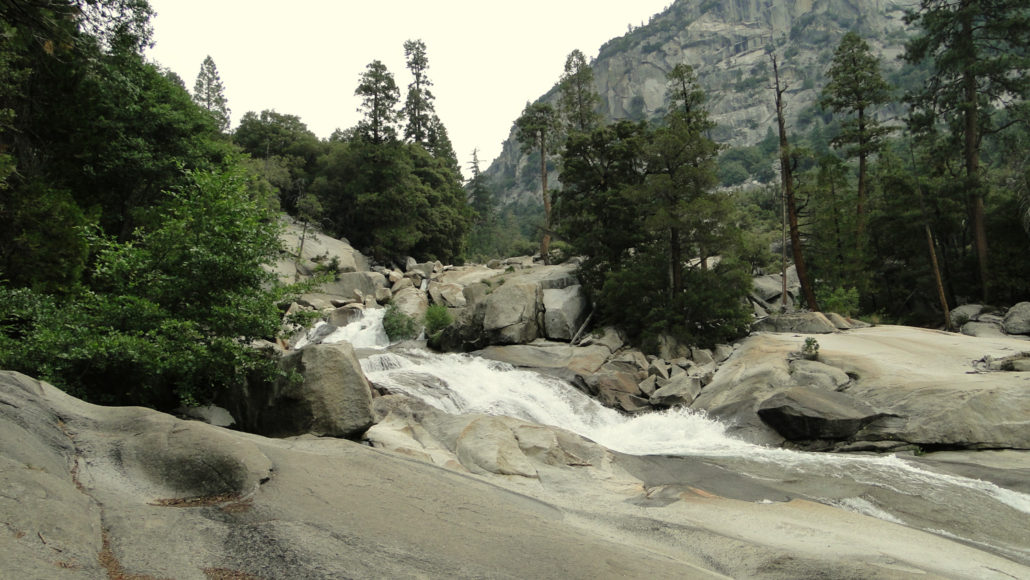
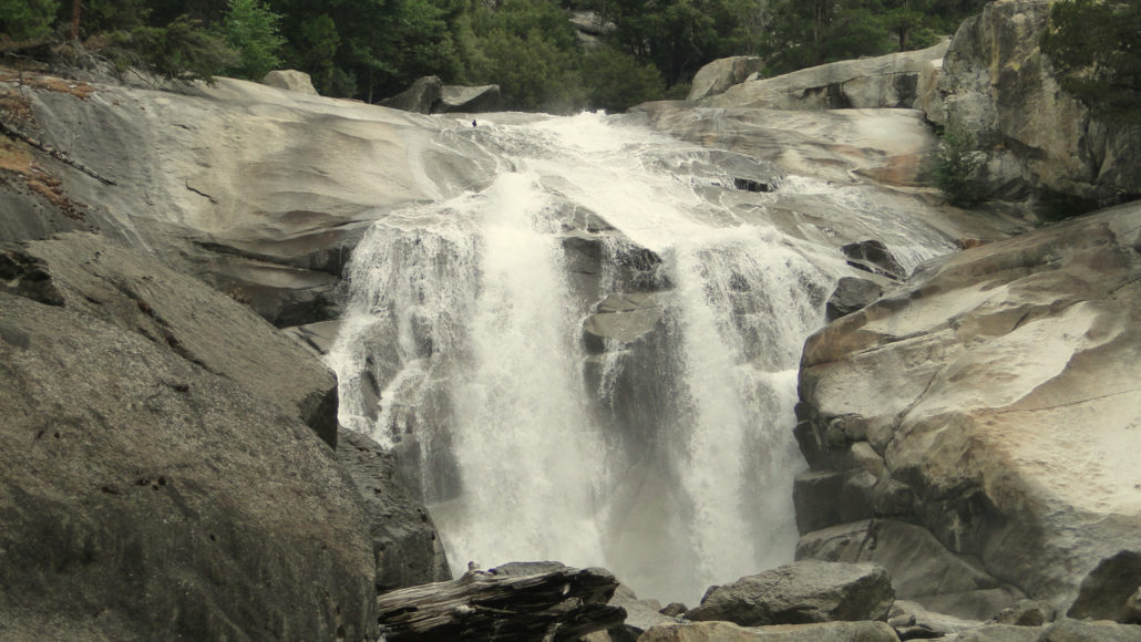
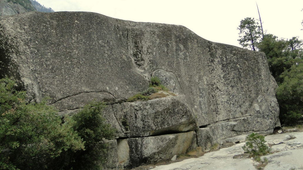
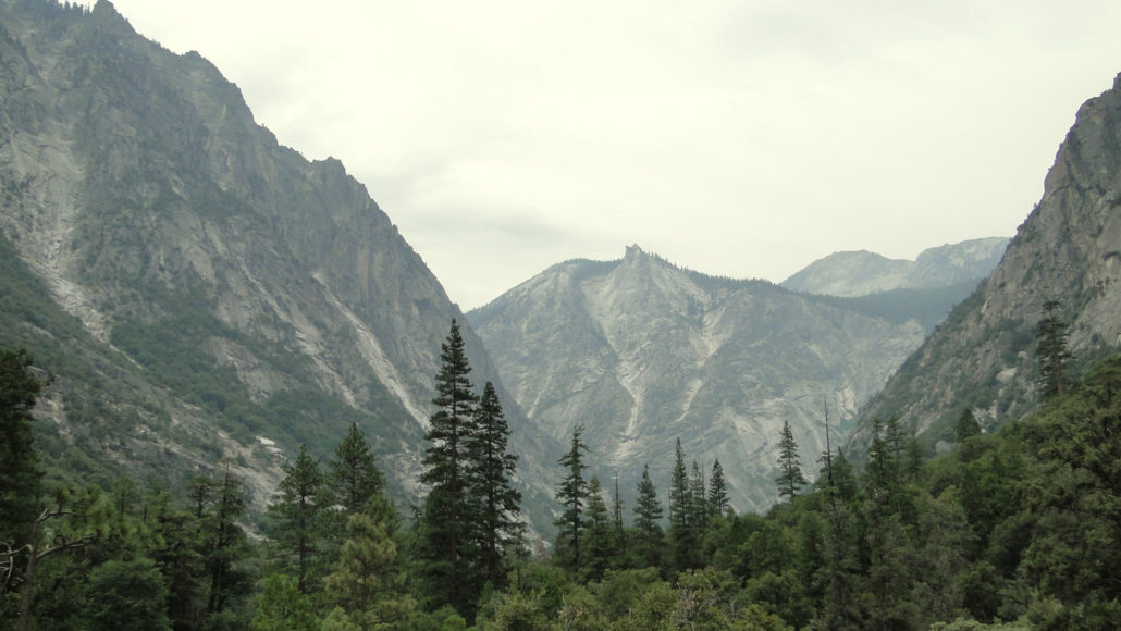
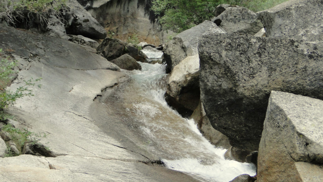
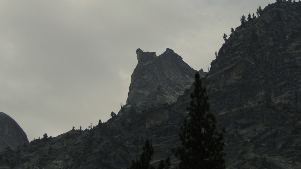
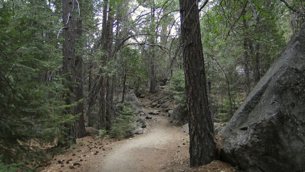
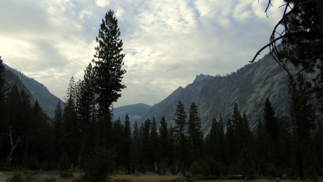
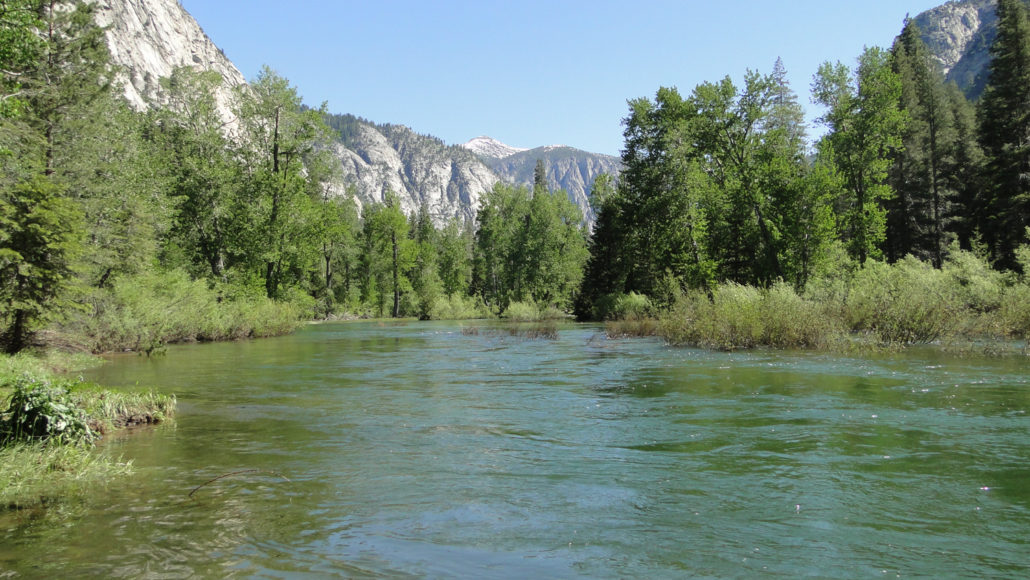
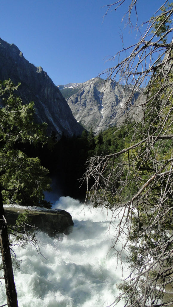
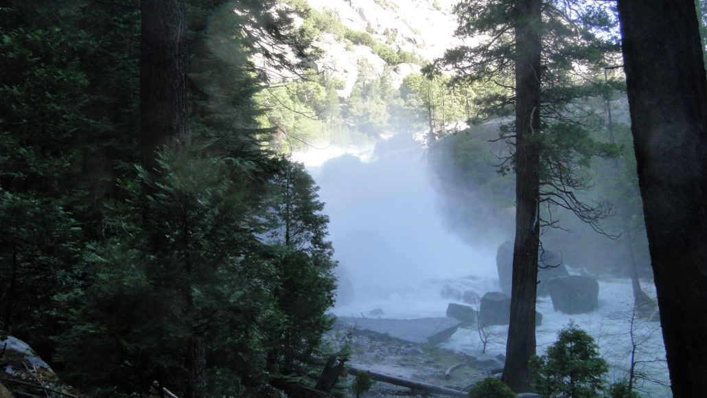
There is no way around it: Paradise Valley is flat out gorgeous. Whether it’s the close proximity to the thunderous Kings River, the cool thickets of cedars and ponderosa pines, the ingeniously carved-out trail, the stunning views down canyon toward the Sphinx, the thorough soaking you’ll receive from Mist Falls, or the relaxation in an icy pool of water where the river slows down to a crawl, this hike features the best of Kings Canyon National Park. Canyon live oak in Woods Creek Canyon The trail to and through Paradise Valley is also part of the larger and extremely popular Rae Lakes Loop, which travels up Kings Canyon, along Woods Creek, through the Rae Lakes Basin, and then back down Bubbs Creek Canyon to return at the trailhead. This multi-day adventure runs the average hiker about 4-5 days, and includes a stretch along the John Muir Trail. The trail to Paradise Valley covers about 6 miles of the Rae Lakes Loop, although adventurous day-hikers and overnight backpackers can easily continue further into Paradise Valley for additional exploration. Monster rock For those not as keen on taking the full route to Paradise Valley described here, there is also the option of taking the slightly shorter 9.2 mile round-trip to Mist Falls, which this trail will pass before coming to the mouth of Paradise Valley. While 9.2 miles is not necessarily a short trip, it should be noted that there is not a lot of climbing on this trip, and the elevation is not as much of a factor as it would be in the High Country. The Sphinx The trail, which is simultaneously dubbed “Woods Creek Trail” and “Sierra High Route,” starts out at aptly-named Road’s End. To make sure you are not confusing this route with the much more difficult Cooper Creek Trail, look for the permit station, which sits just before the actual trailhead. If you are backpacking on this route, this is where you will pick up your permits. The NPS typically reserves about 40% of its permits for walk-ups, but you would be advised to get here early, as anything along the
Trail Stats
21.4 km
487 m
2076 m
1530 m
—
Photos
Trail photo
No caption provided.
Trail photo
No caption provided.

Trail photo
No caption provided.
Trail photo
No caption provided.
Trail photo
No caption provided.
Trail photo
No caption provided.
Trail photo
No caption provided.
Trail photo
No caption provided.
Trail photo
No caption provided.
Trail photo
No caption provided.

Trail photo
No caption provided.
Trail photo
No caption provided.
Trail photo
No caption provided.
Trail photo
No caption provided.
Trail photo
No caption provided.
Trail photo
No caption provided.
Trail photo
No caption provided.
Trail photo
No caption provided.
Trail photo
No caption provided.
Trail photo
No caption provided.
Trail photo
No caption provided.
Trail photo
No caption provided.