5 min
Overview
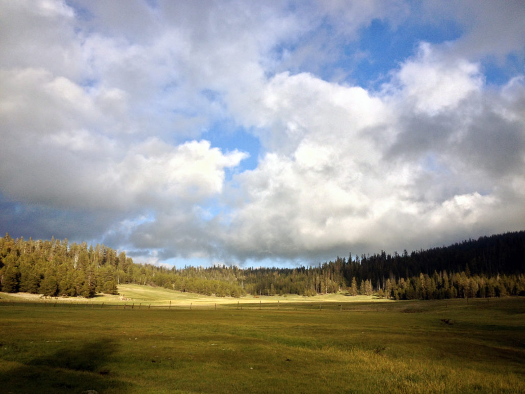
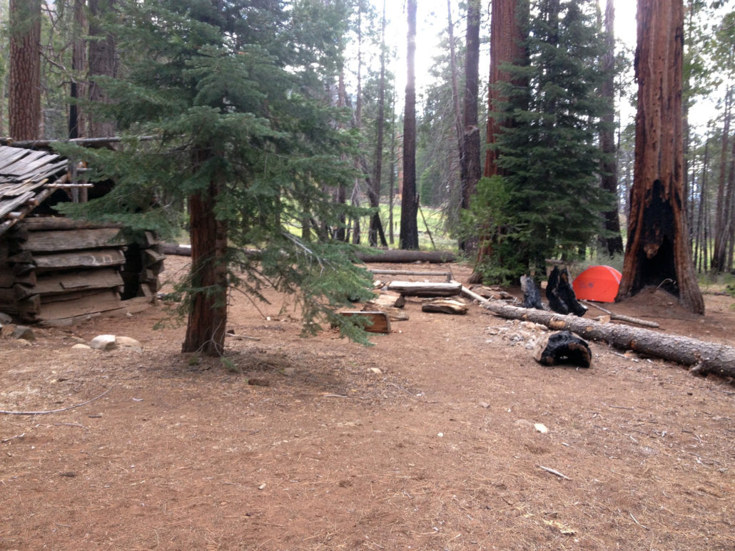
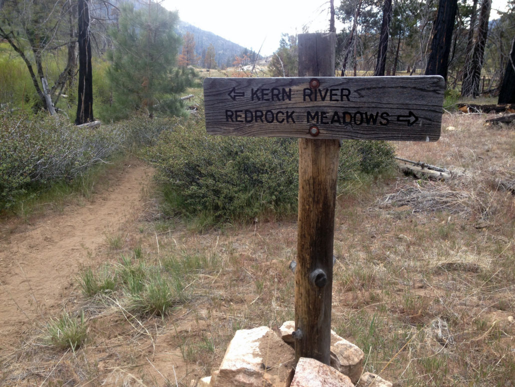
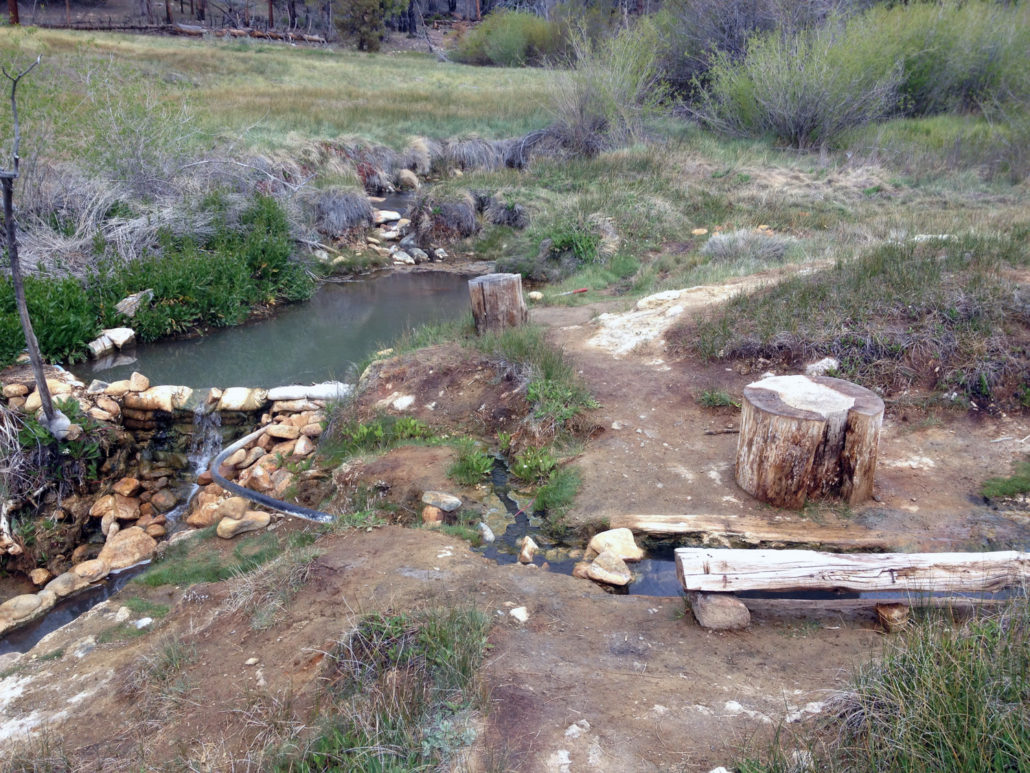
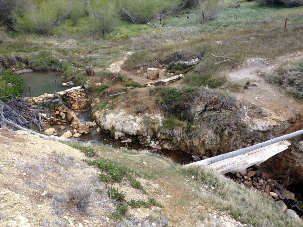
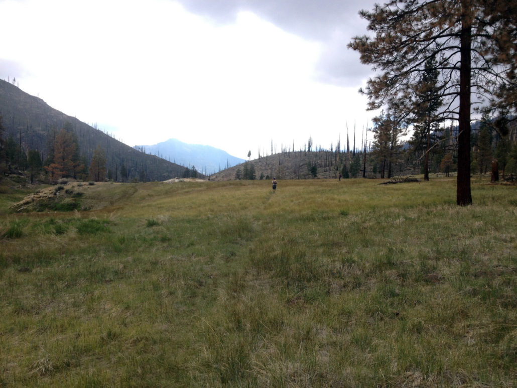
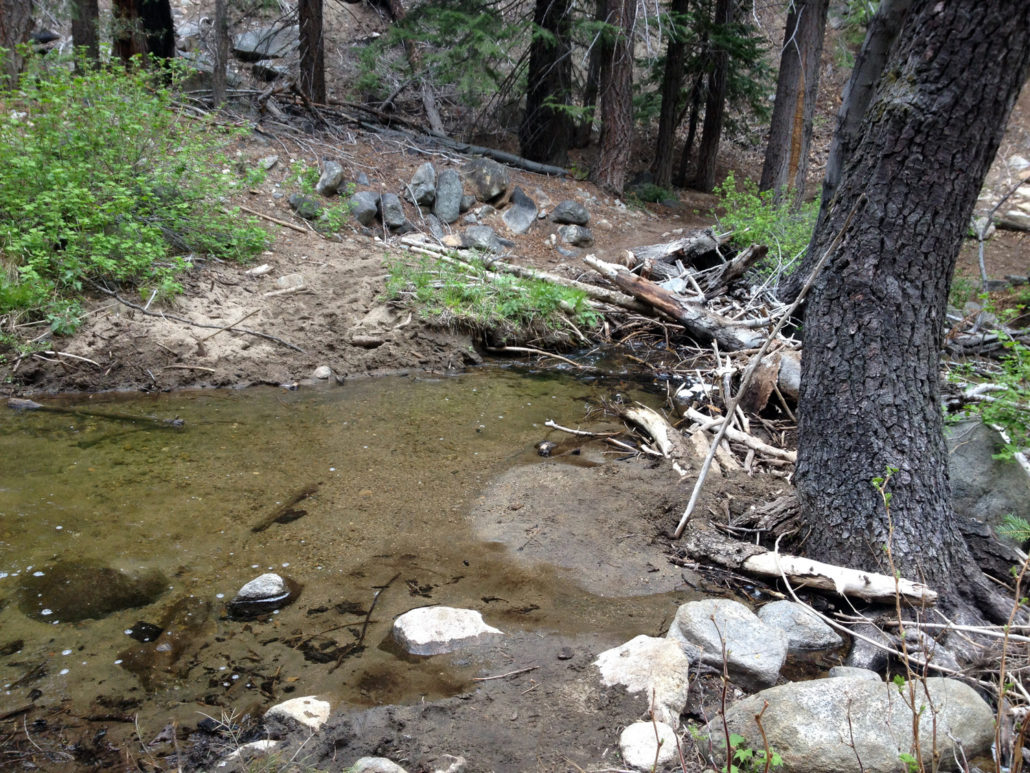
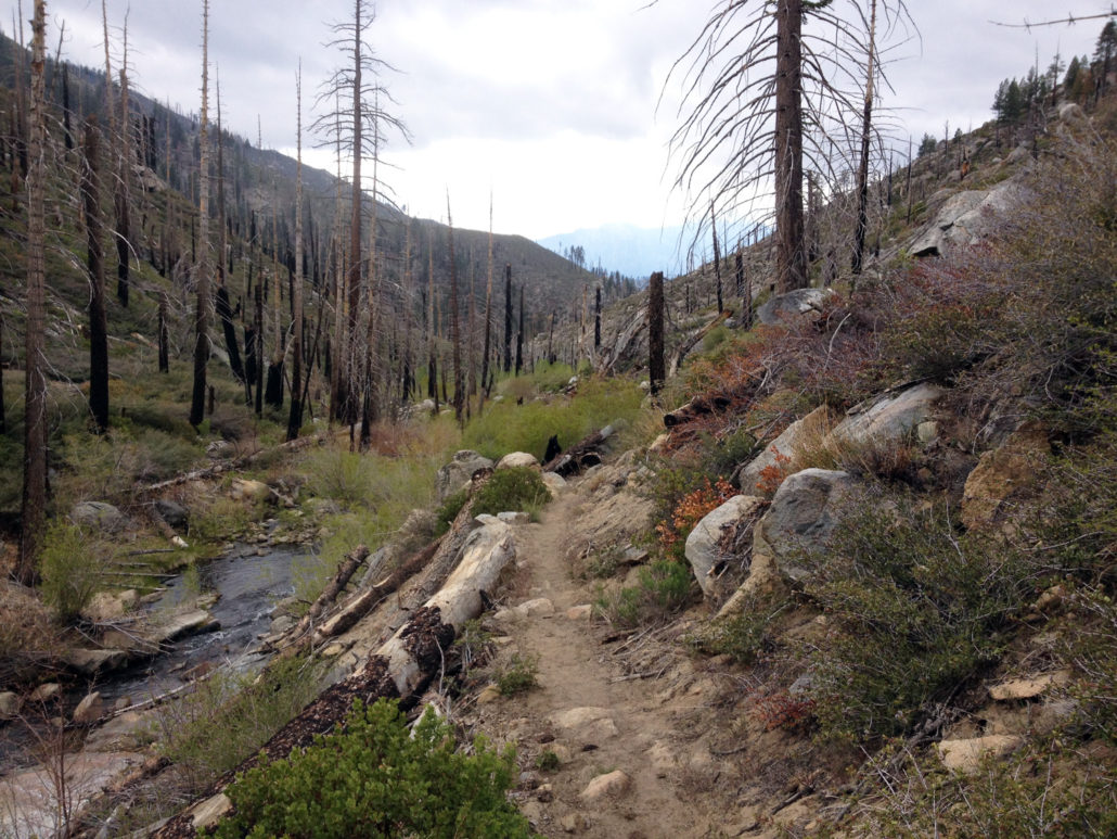
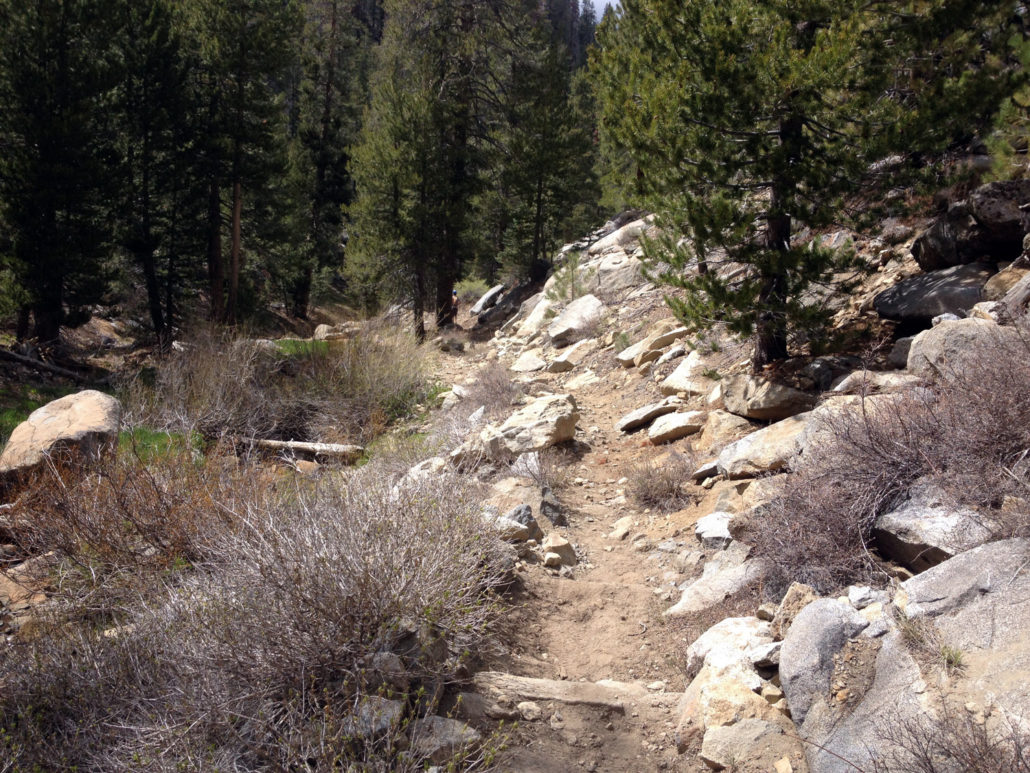
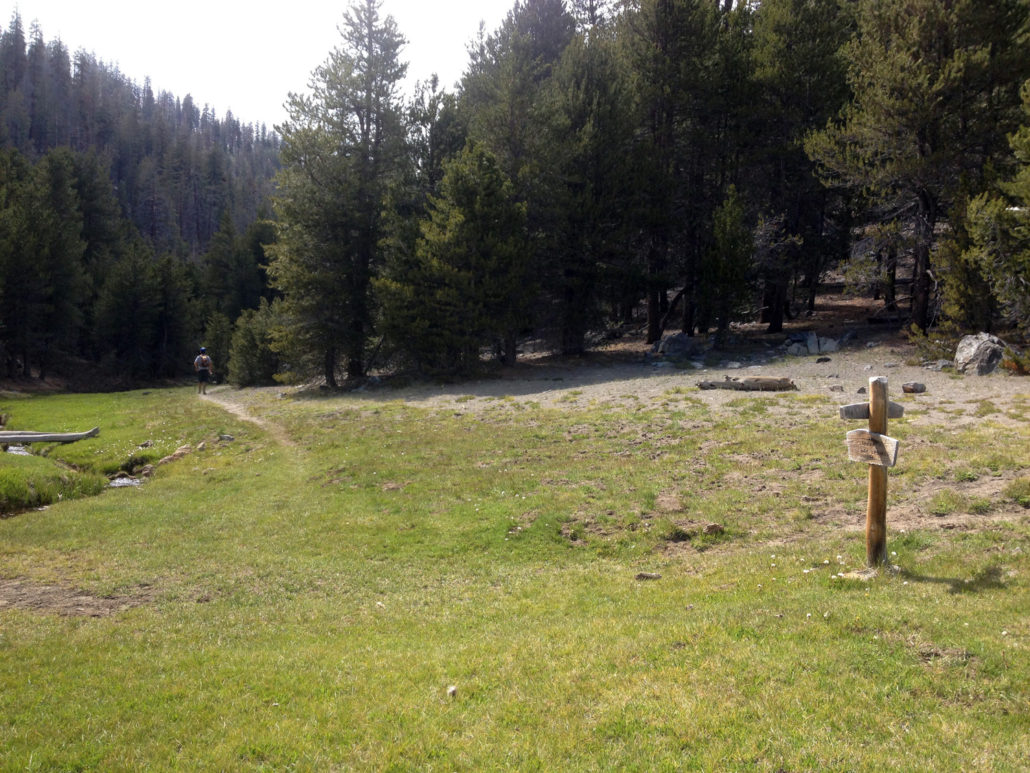
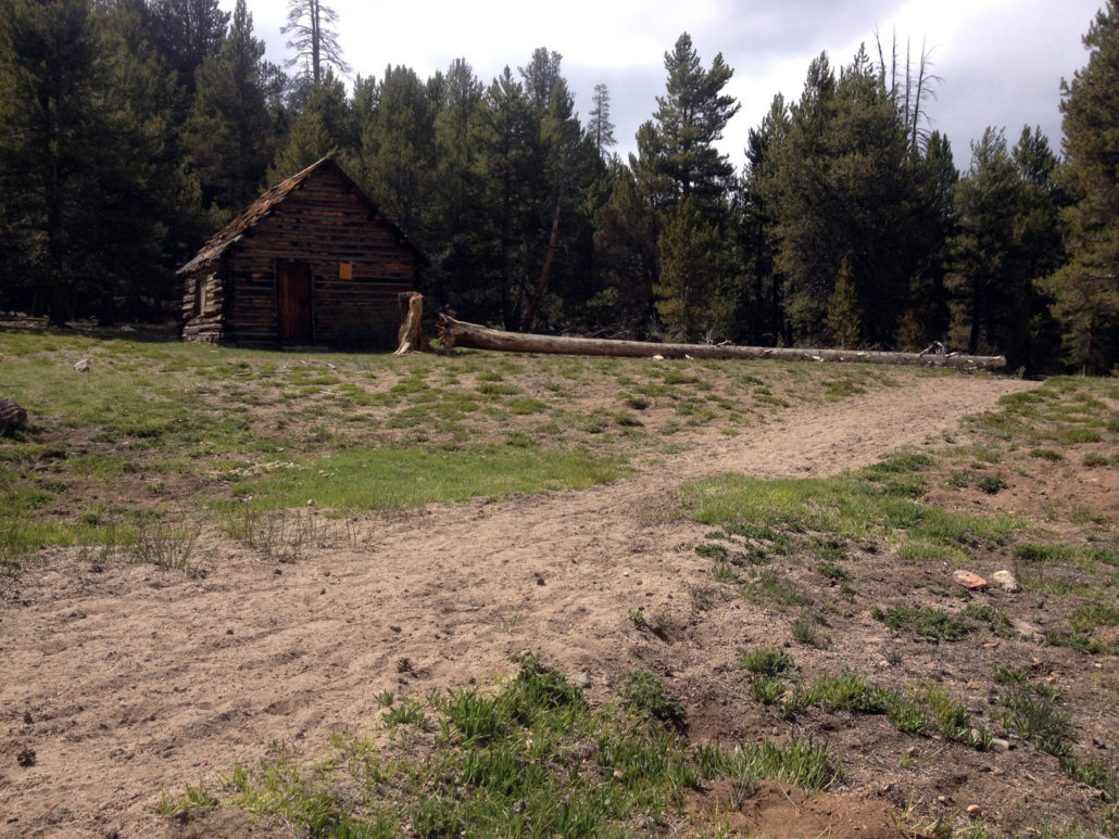
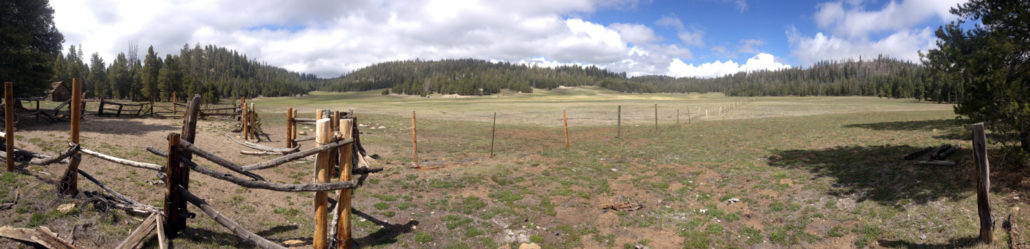
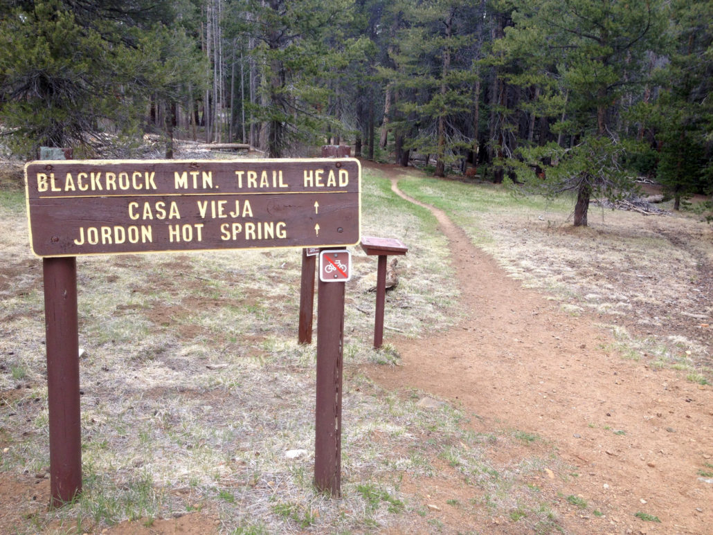
Jordan Hot Springs is one of my favorite spots in the Golden Trout Wilderness (part of Inyo National Forest). This route provides a relaxed hiking experience as it drops almost 3000 feet in 5.75 miles to the hot spring and a moderate challenge as you gain that elevation on the way back. This is by no means a secret spot, so try to visit on weekdays to maximize your solitude. But fear not — everyone I’ve encountered at this spring was very courteous and friendly. Get started at the Blackrock trailhead. Drive north on the 395 to Nine Mile Canyon towards Kennedy Meadows. Continue to the Blackrock ranger station, and then follow signs for the Blackrock trailhead. During winter months or periods of high snow (assuming we are not in a drought) the road from Blackrock Ranger Station to Blackrock trailhead is closed. Generally the road is open by Memorial Day weekend, or even sooner depending on the snowpack. The trail can be broken down into two segments: the Casa Vieja section and the Ninemile Canyon section (note: this is different from the Nine Mile Canyon off the 395). The first 2 miles travels downhill at a steady gradient north towards Casa Vieja Meadows, dropping 600 feet on the way. The southern Sierras don’t have the high peaks or alpine lakes that are found a little ways to the north, but they do have stunningly expansive short-grass meadows. You get your first glimpse of Casa Vieja at mile 1.7. A trail junction is found at the western edge of the meadows, just a short way beyond the run down cabin. The larger trail continues north towards Redrock Meadows, while the Ninemile Canyon trail heads northwest and begins its steep descent to Jordan Hot Springs. The trail starts losing elevation fairly rapidly and keeps the pace up over the remaining 3.5 miles to the springs. The route finding is very easy. Ninemile Creek flows at a pretty good rate, so use the creek as your handrail during the descent. At mile 3.75 you’ll enter a section of burned out forest that continues almost until you arrive at the spring. Som
Trail Stats
19.6 km
914 m
2755 m
1956 m
—
Photos
Trail photo
No caption provided.
Trail photo
No caption provided.
Trail photo
No caption provided.
Trail photo
No caption provided.
Trail photo
No caption provided.
Trail photo
No caption provided.
Trail photo
No caption provided.
Trail photo
No caption provided.
Trail photo
No caption provided.
Trail photo
No caption provided.
Trail photo
No caption provided.
Trail photo
No caption provided.
Trail photo
No caption provided.