7 min
Overview
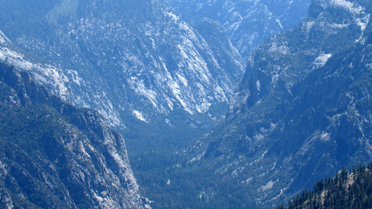
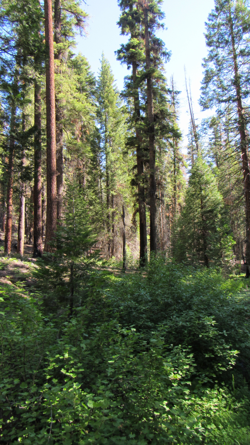
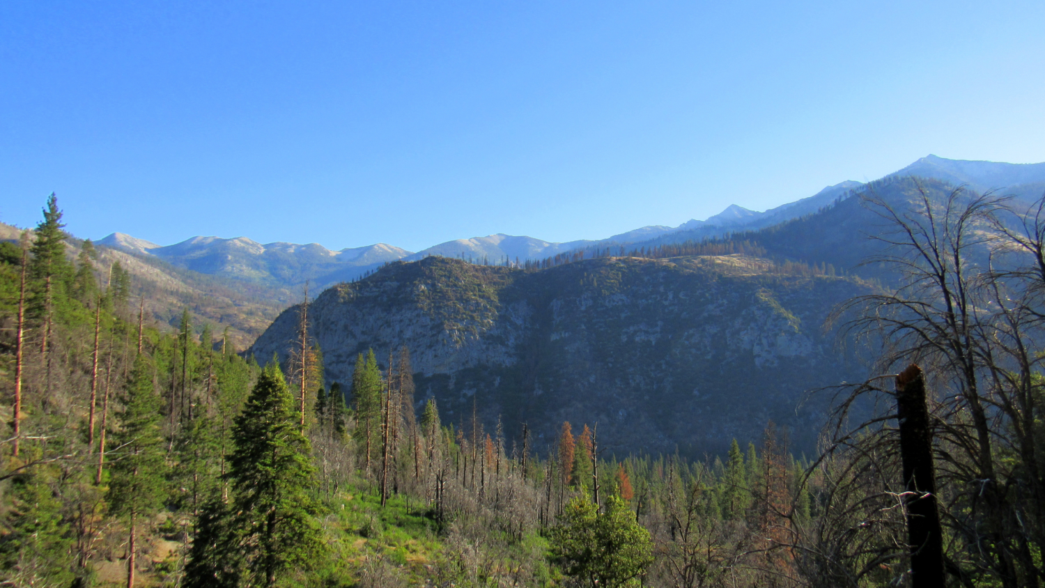
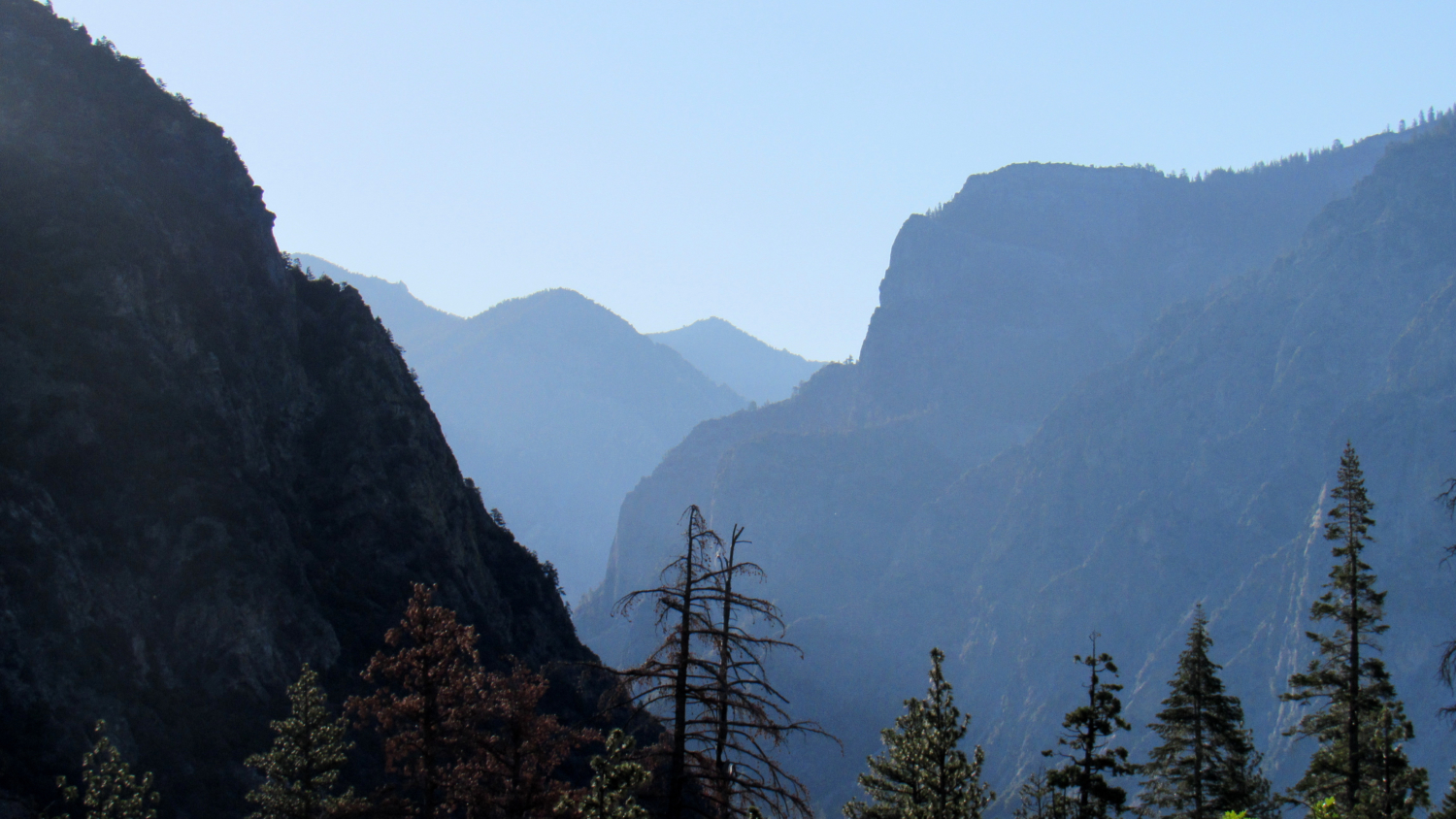
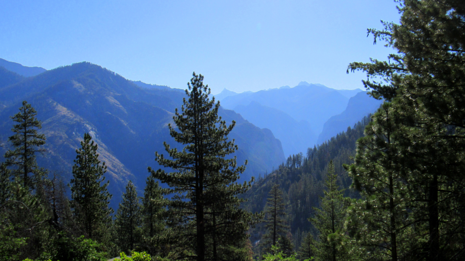
Long before the construction of Cedar Grove Road opened up Kings Canyon to tourism, visitors to the area followed an old shepherd’s route past Big Meadow that first passed the rugged summit of Lookout Mountain before descending through dense forest along the Sheep Creek watershed. This old route, named after the pioneering shepherd Don Cecil, still remains in use, albeit of the sporadic kind, allowing access to an impressive panorama encompassing Kings Canyon, the Monarch Divide, and Sentinel Ridge. Perhaps around the onset of his love affair with Kings Canyon, John Muir stood upon the rugged summit of Lookout Peak and surveyed the expanse of Kings Canyon. For most early visitors traveling via the old shepherd’s route, and likely for Muir himself, the view from Lookout Peak would be the first taste of the scenic grandeur of the region. Although Muir was sometimes prone to hyperbole when it came to describing views, it is hard to refute his description of the magnificence of the panorama from the lofty heights of Lookout Peak standing 4,000’ above Cedar Grove. In addition to so much grandeur, the hike offers the more subtle pleasure of a secluded cascade where Sheep Creek pours over granite slabs beneath the cool shade of oaks and alders. Given the heights and distance involved, hikers should note that this is a challenging dayhike that can become even more challenging when summer’s daytime heat settles into the canyon. Spring and fall temperatures will be far more comfortable, but if you plan to attempt this route between late-June and mid-September, consider the earliest possible start to avoid hiking through the middle elevations during scorching daytime temperatures. From the day-use parking area, follow the access road to the campground back to the main Cedar Grove Lodge road. Cross the road south of the bridge and continue along the access trail leading to the highway. Cross the highway to reach the signed Don Cecil Trail. Sheep Creek Falls From the trailhead, continue first south and then west uphill thro
Trail Stats
9.0 km
1158 m
2600 m
1420 m
—
Photos
Trail photo
No caption provided.
Trail photo
No caption provided.
Trail photo
No caption provided.
Trail photo
No caption provided.
Trail photo
No caption provided.