4 min
Overview
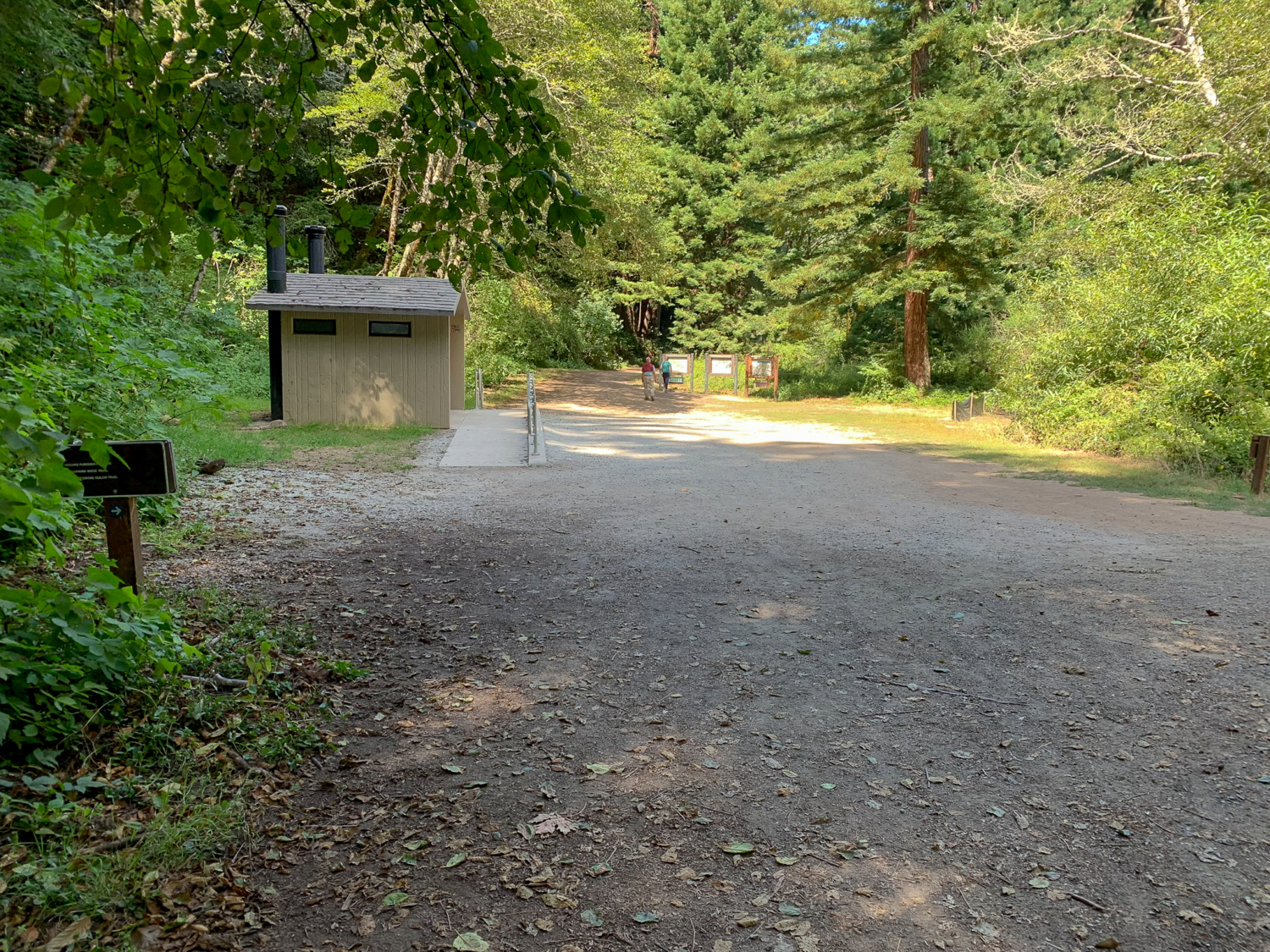
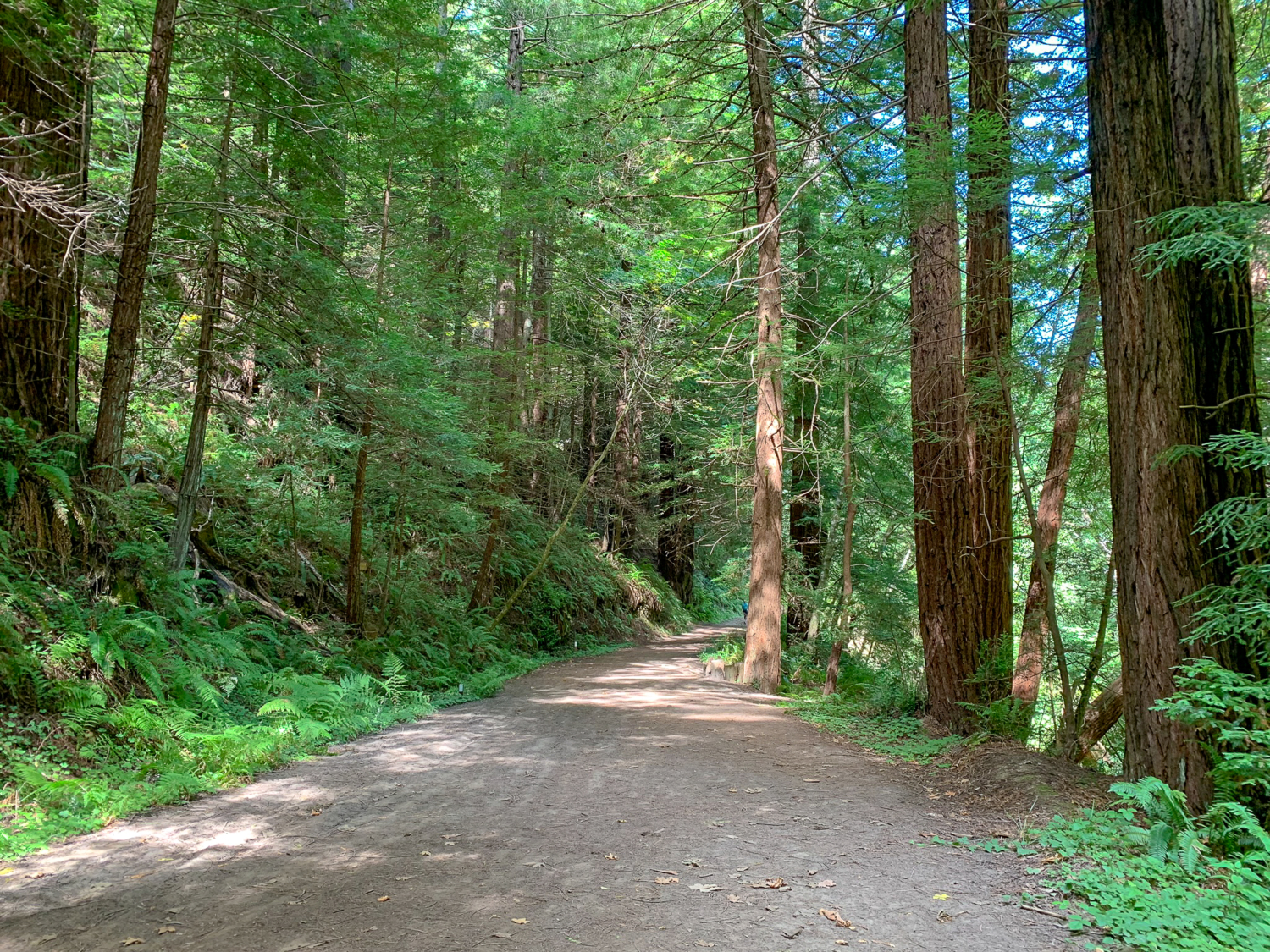
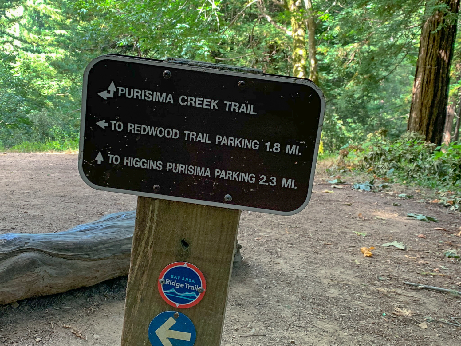
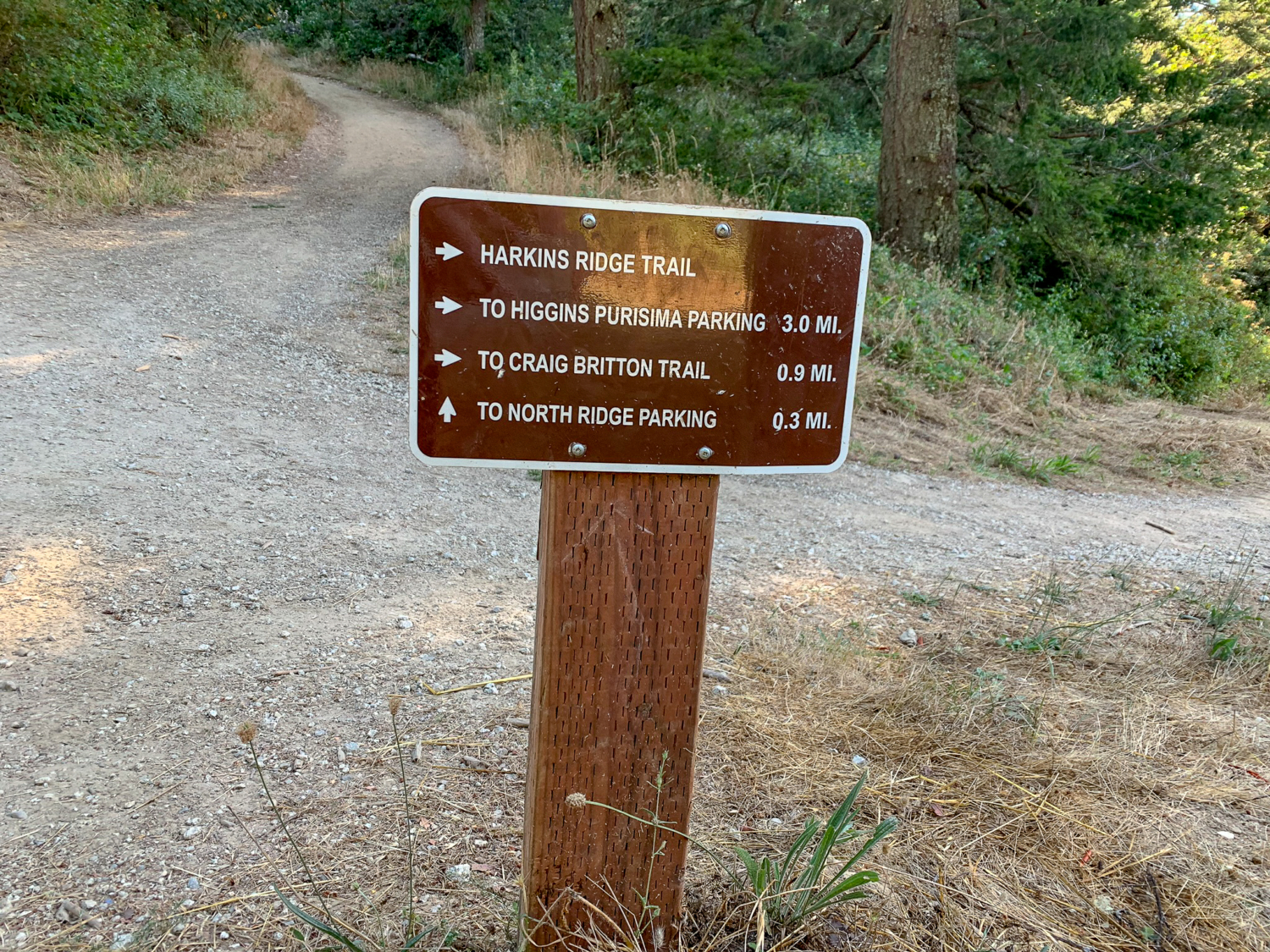
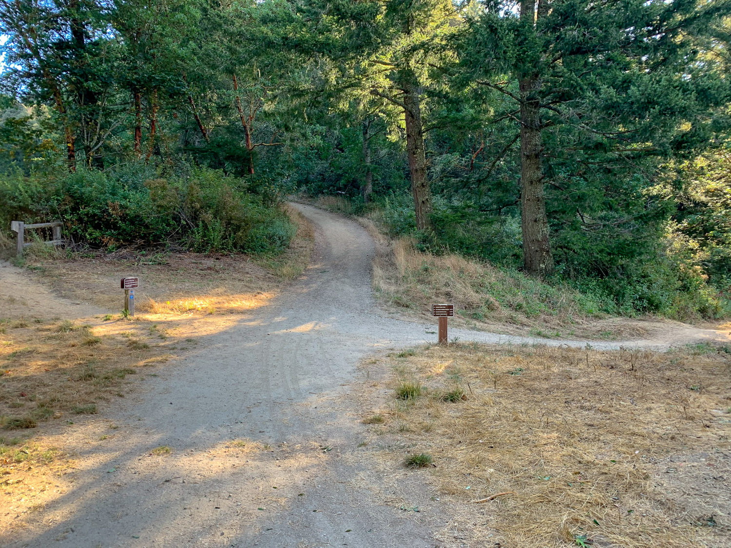
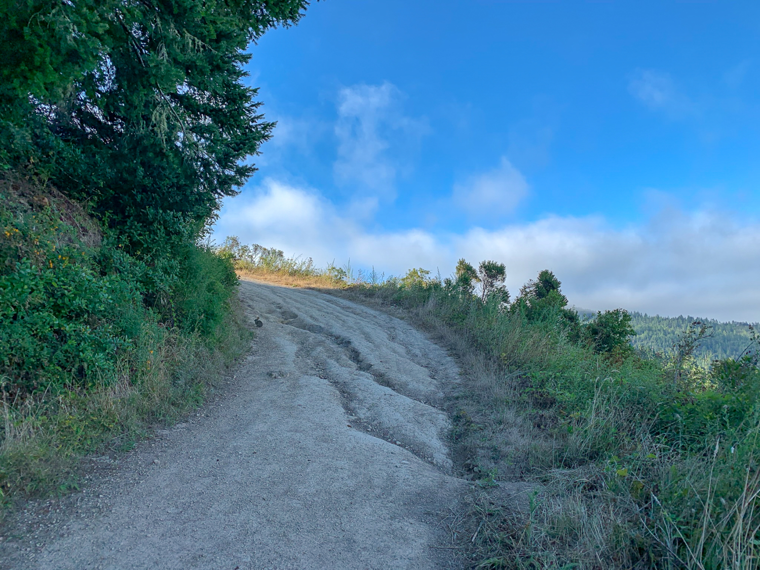
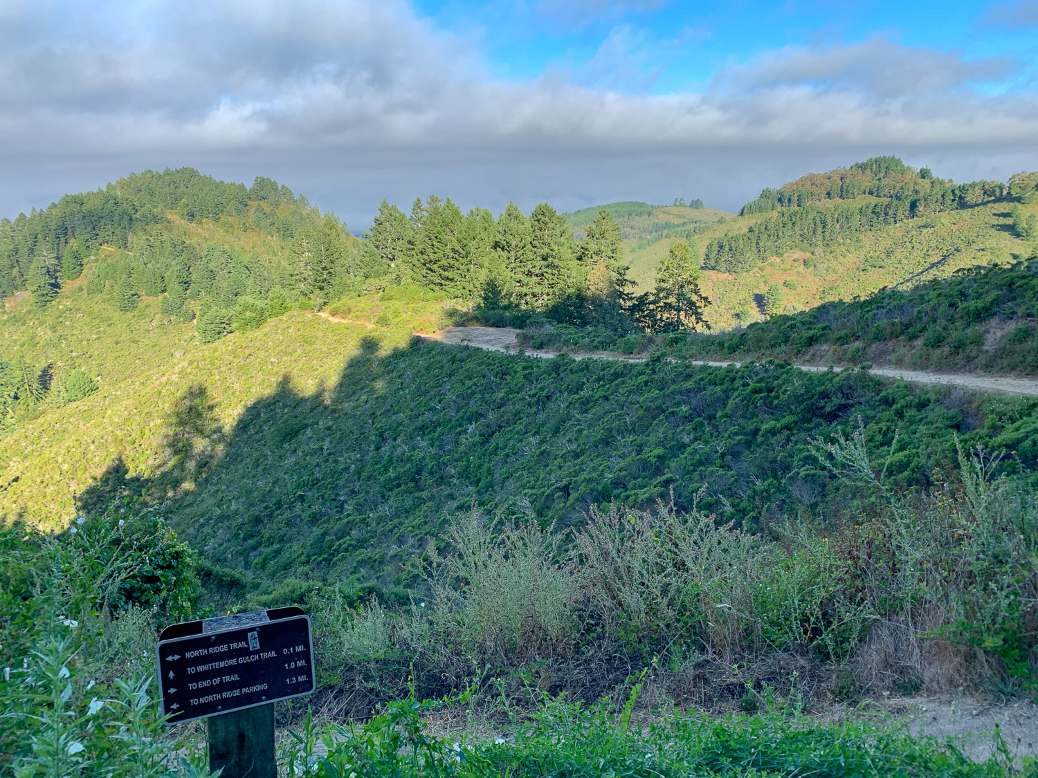
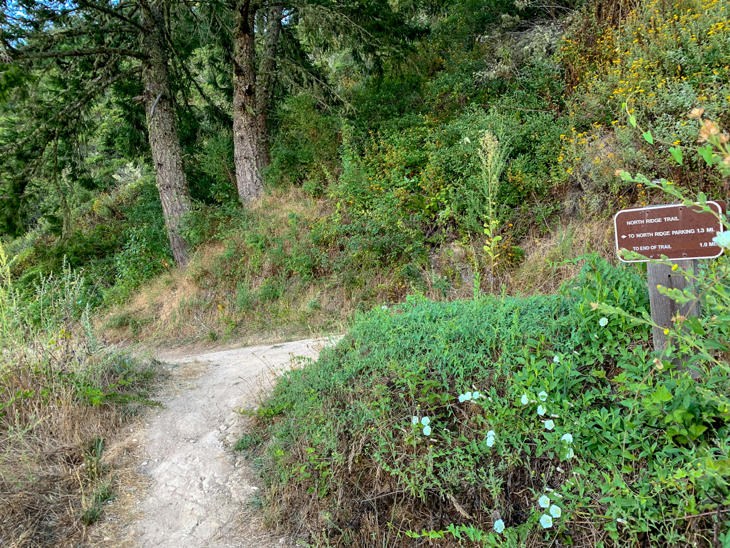
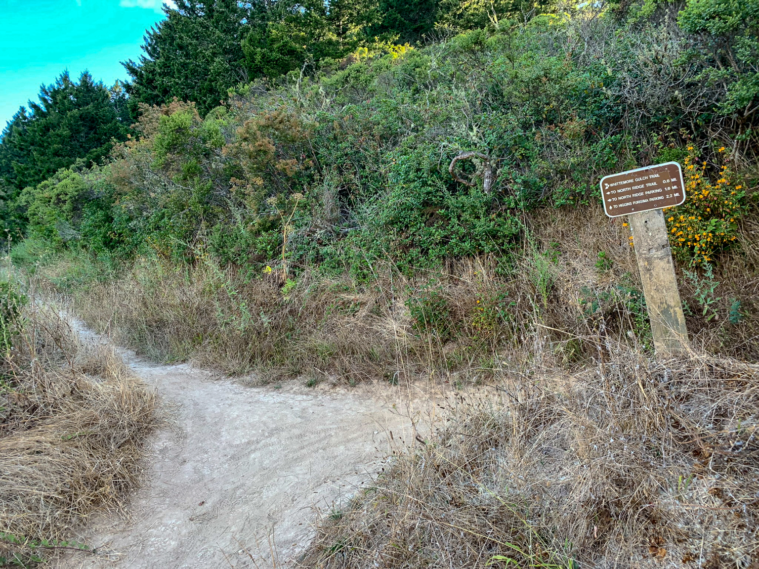
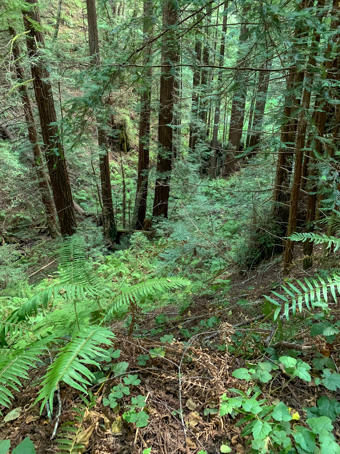
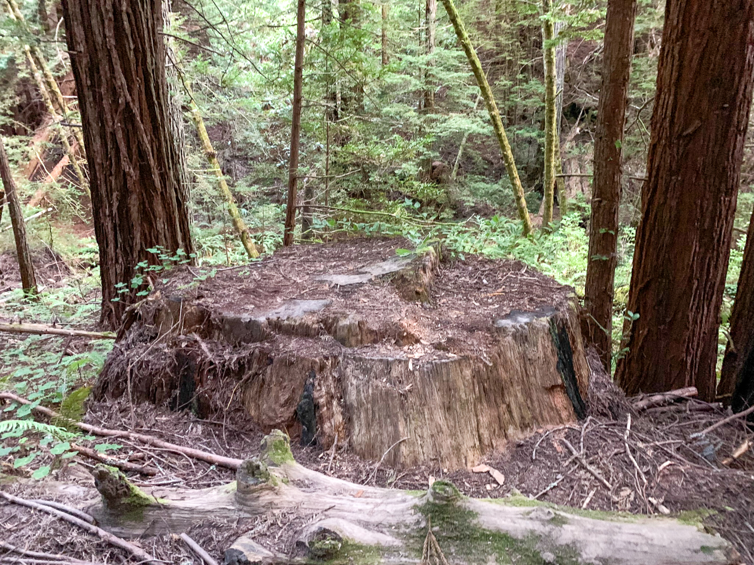
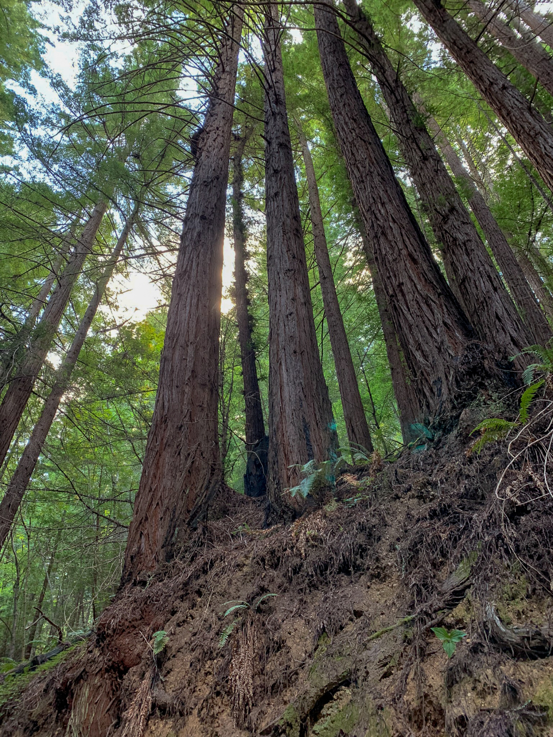
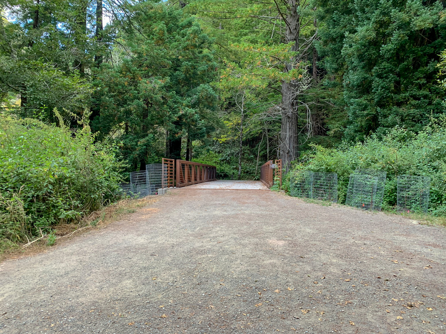
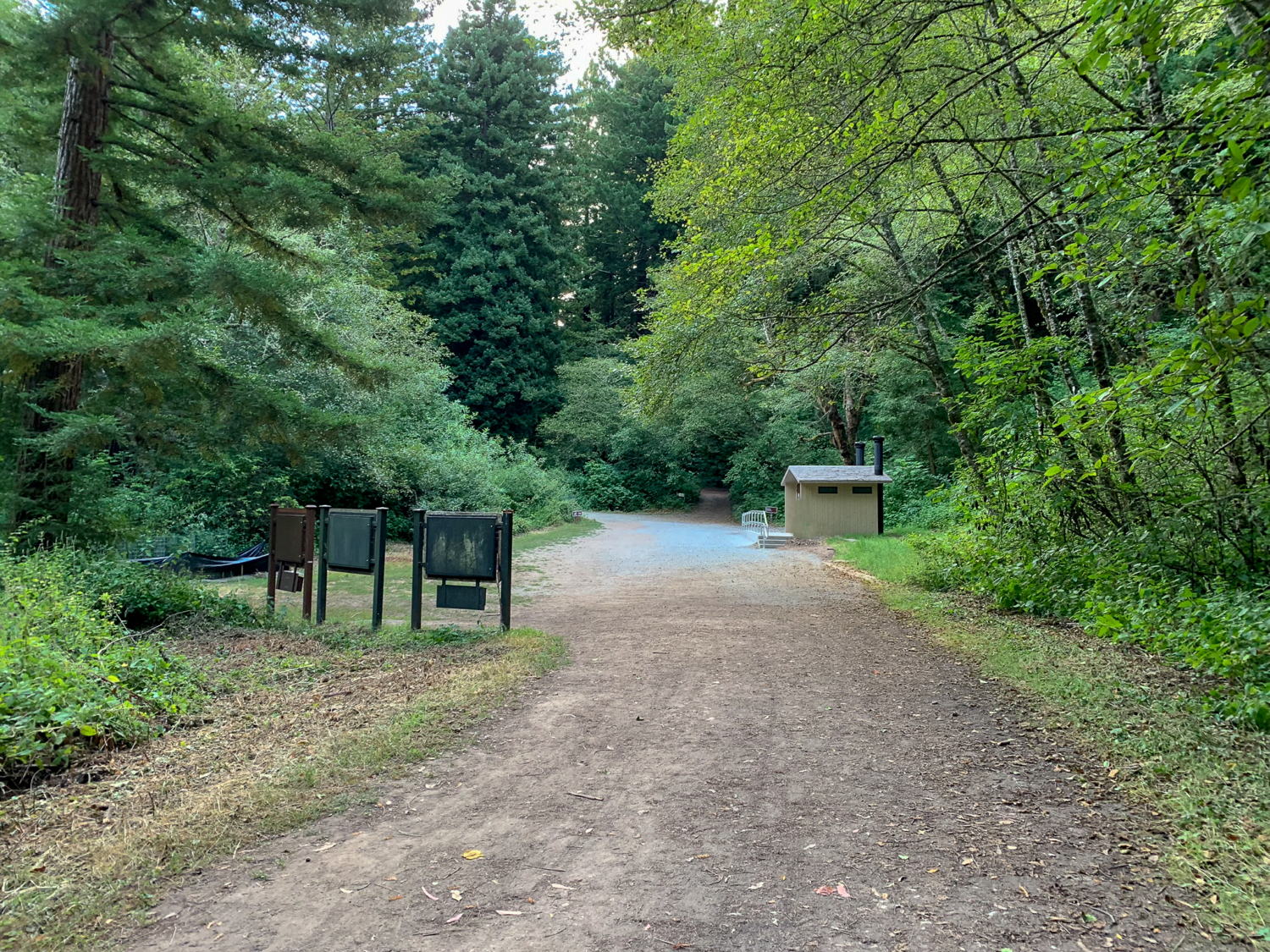
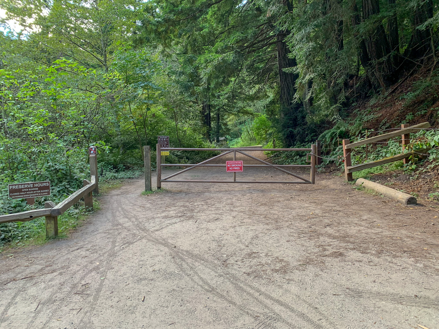
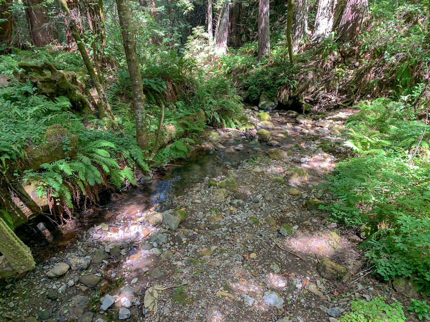
Purisima Creek Redwood Open Space Preserve is well-loved for its shady, second-growth coast redwoods, trickling creeks, and broad, forested canyons. Just a few miles inland from Half Moon Bay, on the western slopes of the Santa Cruz Mountains, the preserve is a reliable respite from hot summer temperatures. This moderately steep hike connects five trails, circling the preserve’s conifers, ridgelines, gulches, and streams. A view of Purisima Creek from the Purisima Creek Trail Begin at the wide gate next to the parking area, hiking east towards the Whittemore Gulch Trail. There are generally two approaches to hiking Purisima—top-down from Skyline Boulevard near Woodside or bottom-up from Higgins Canyon Road in Half Moon Bay. Skyline Boulevard is a shorter drive for many Bay Area hikers, and there is more parking available. Higgins Canyon Road puts you right at the pretty, shady creeks at the start, but has limited parking. This description follows a bottom-up, clockwise approach from Higgins Canyon Road, attacking the steepest climbing on Whittemore Gulch and North Ridge Trails first and then gradually descending on the Harkins Ridge, Craig Britton, and Purisima Creek Trails. Hiking east, reach the restrooms in 300 feet. To your left are signboards with free maps and preserve information. Pick up a map and turn left, crossing Purisima Creek on a wooden bridge. Make another quick left onto the Whittmore Gulch Trail, ascending 1100 feet northeast over the next 2.4 miles. Almost immediately, you are enveloped in a hushed coast redwood forest with bigleaf maple, sword fern, redwood sorrel, and trillium. These second growth redwoods are roughly 100 years old. Huge stumps are all that remains of the original redwoods, logged in the 1800s and early 1900s for building materials in Half Moon Bay and San Francisco. Peering down Whittemore Gulch on your left, look carefully for “family circles,” a phenomenon unique to coast redwoods where sprouts grow in a circle around the base of a “papa” coast redwood tree. If papa tr
Trail Stats
15.4 km
594 m
537 m
126 m
—
Photos
Trail photo
No caption provided.
Trail photo
No caption provided.
Trail photo
No caption provided.
Trail photo
No caption provided.
Trail photo
No caption provided.

Trail photo
No caption provided.
Trail photo
No caption provided.
Trail photo
No caption provided.

Trail photo
No caption provided.
Trail photo
No caption provided.
Trail photo
No caption provided.
Trail photo
No caption provided.

Trail photo
No caption provided.
Trail photo
No caption provided.
Trail photo
No caption provided.
Trail photo
No caption provided.
Trail photo
No caption provided.

Trail photo
No caption provided.
Trail photo
No caption provided.
Trail photo
No caption provided.
Trail photo
No caption provided.

Trail photo
No caption provided.
Trail photo
No caption provided.
Trail photo
No caption provided.
Trail photo
No caption provided.
Trail photo
No caption provided.