5 min
Overview
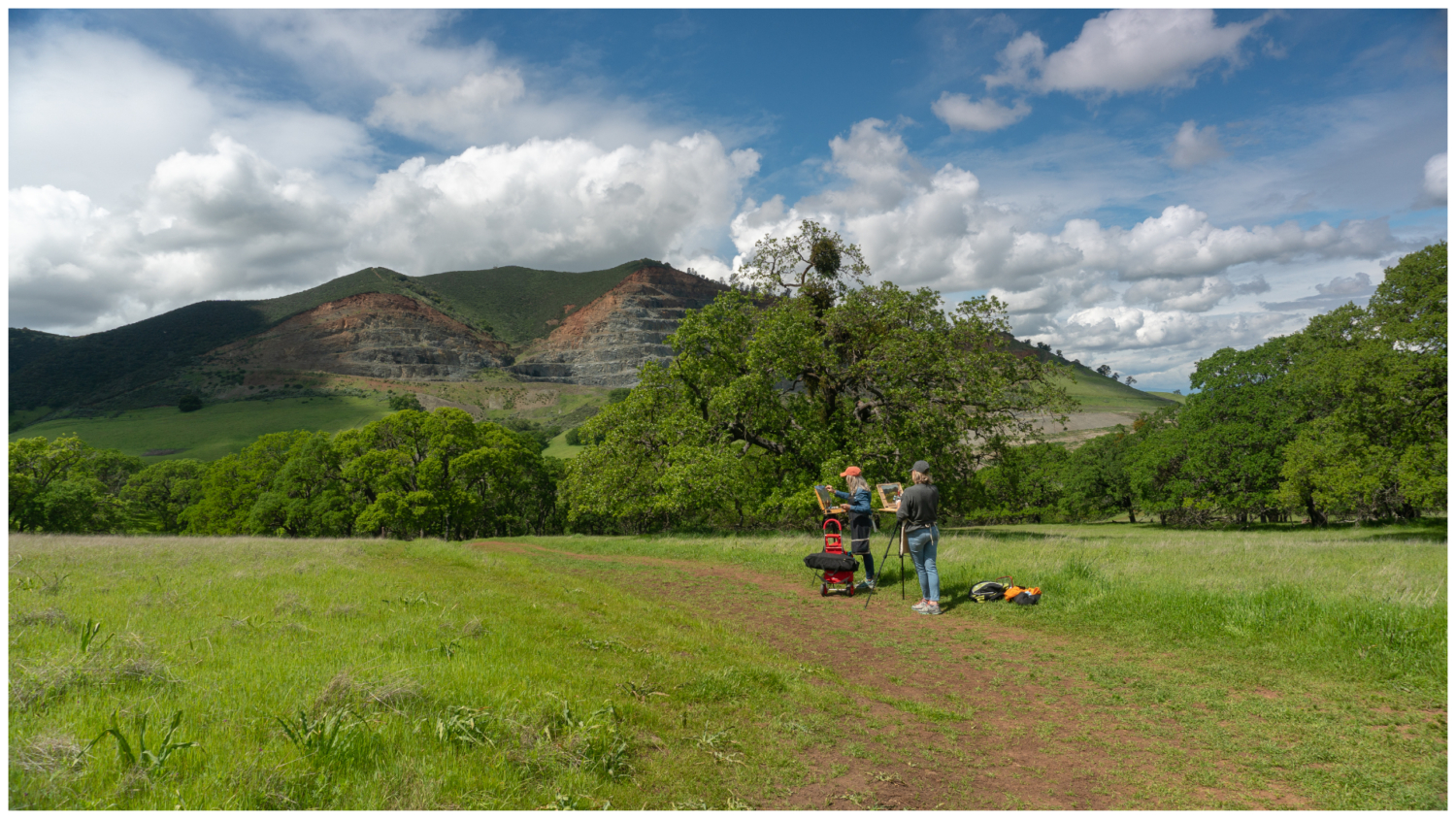
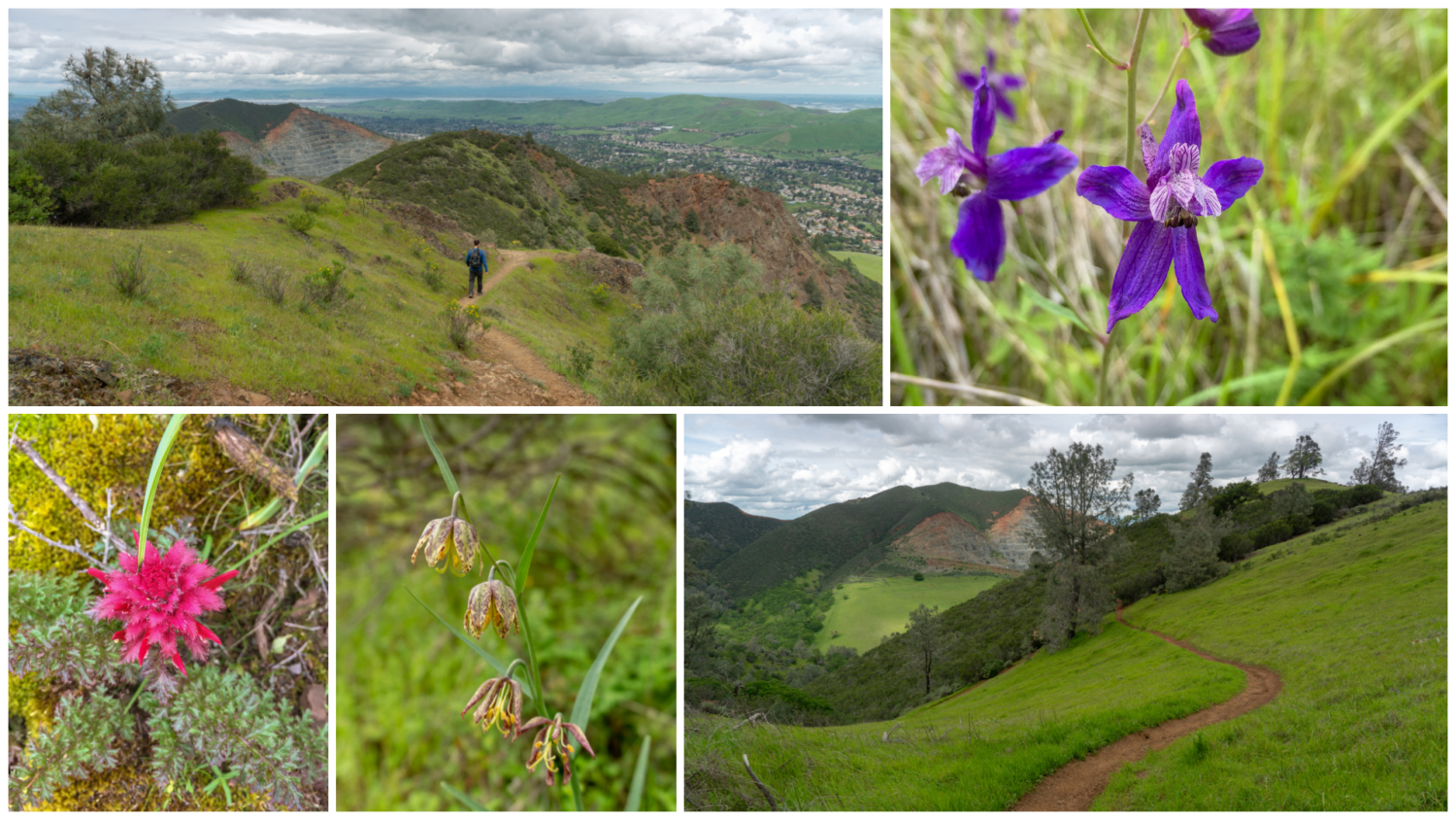
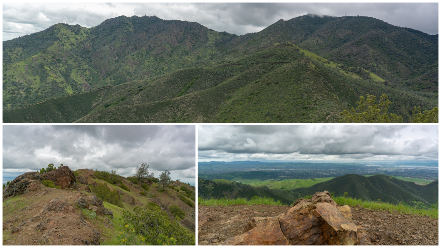
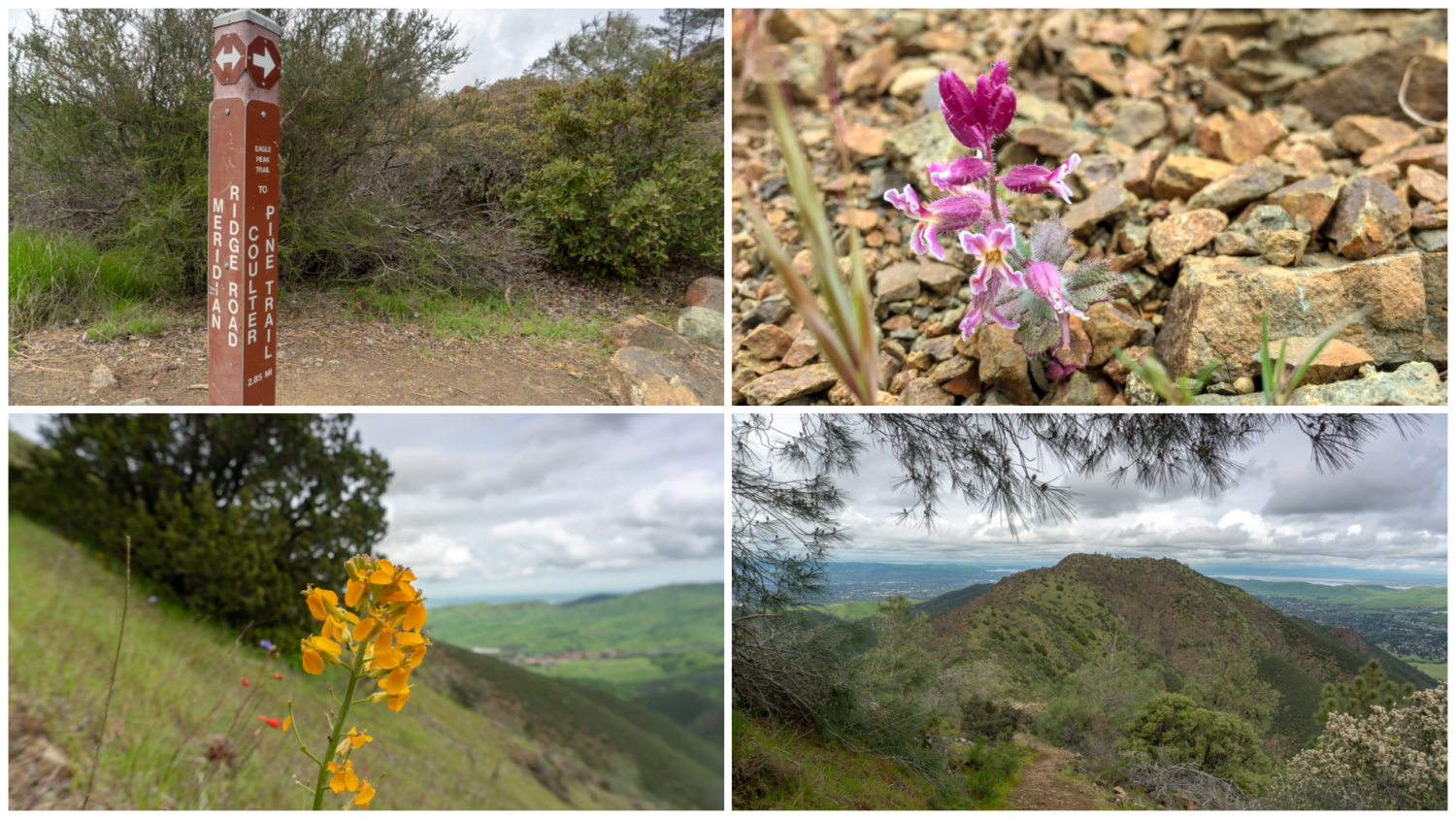
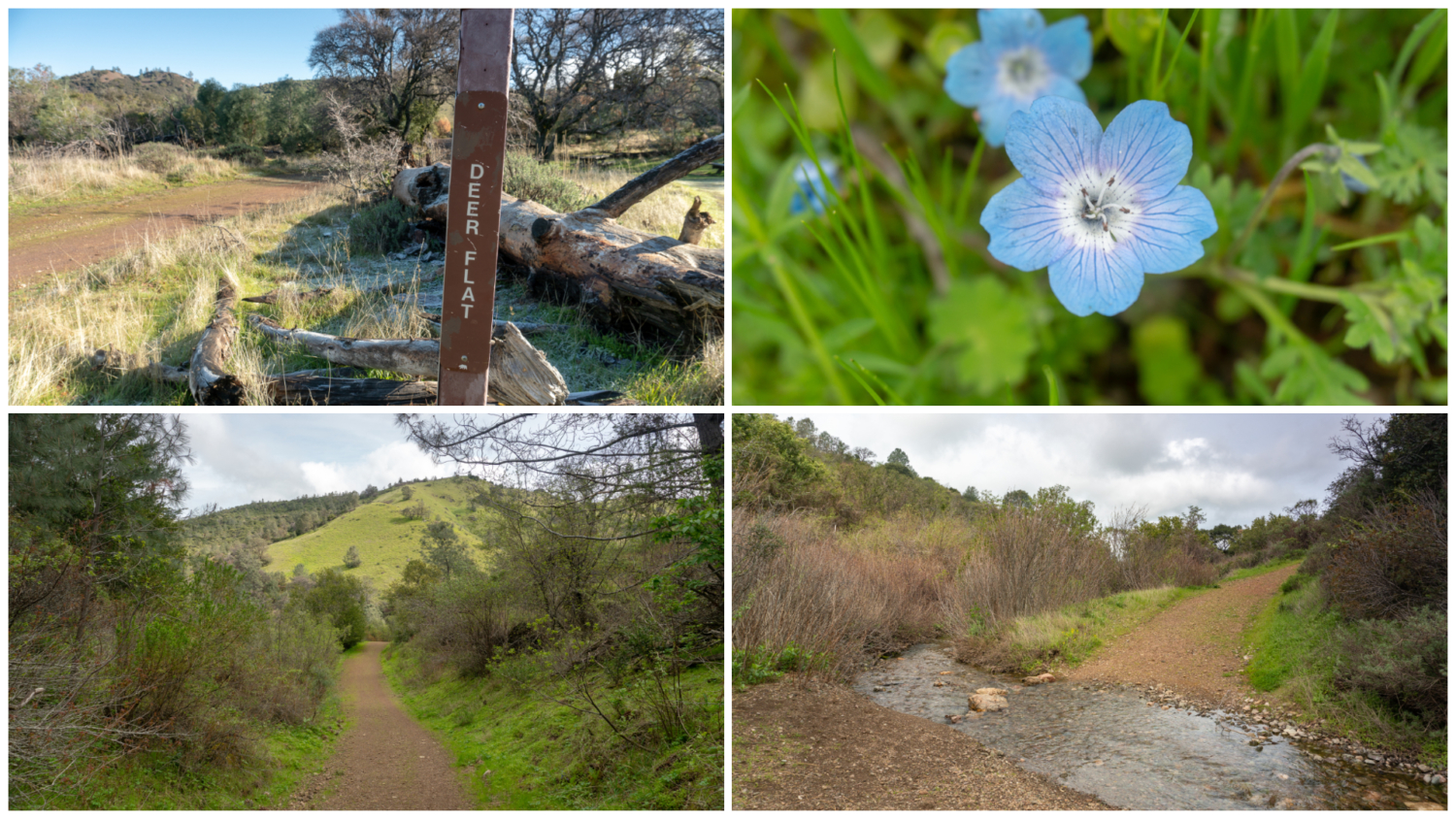
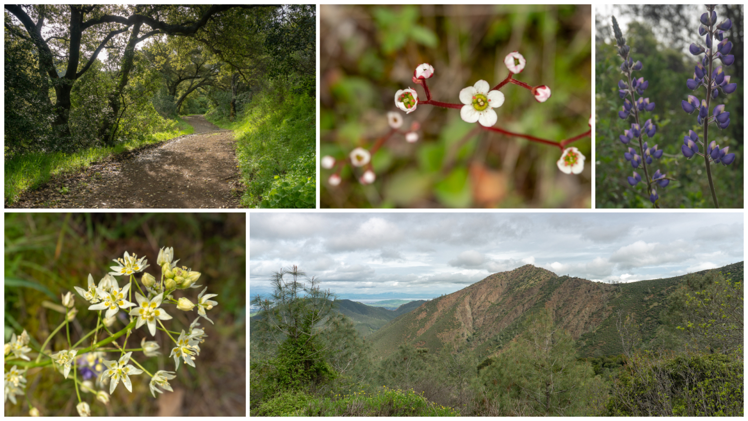
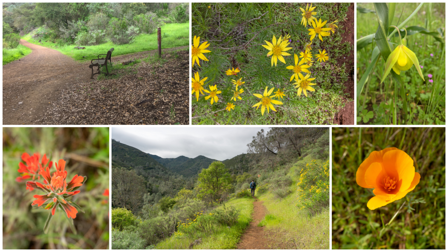
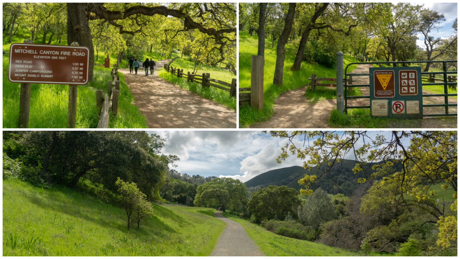
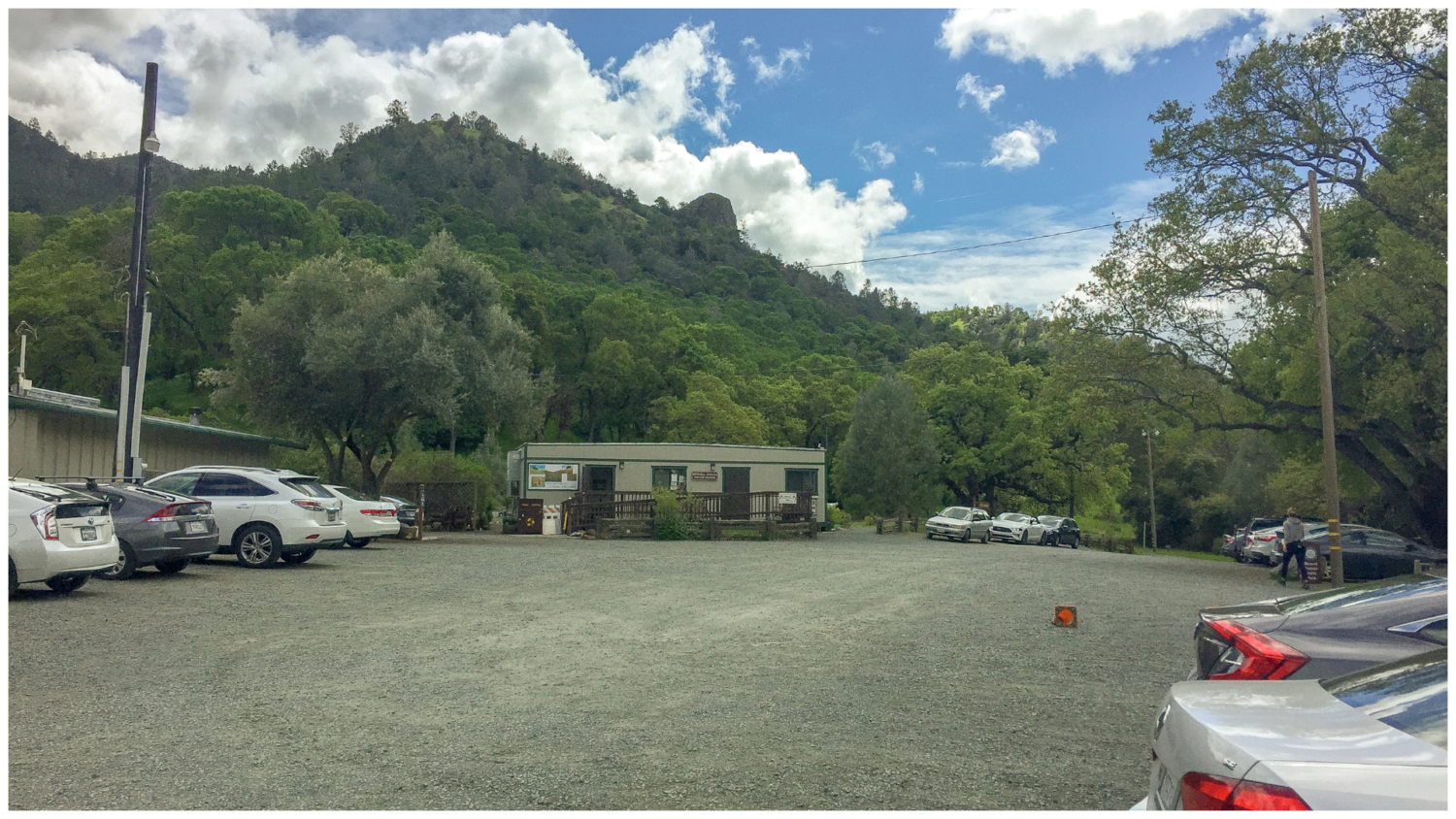
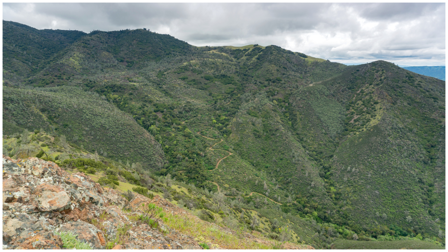
Eagle Peak via Mitchell Canyon is a classic loop on the north side of Mount Diablo bursting with wildflowers and oak-rippled canyons. On a clear day, you can see Mount Tamalpais to the northwest and in springtime, the slopes become electrified in purples, reds, yellows, and blues. It is a challenging day hike, and Eagle Peak is located two-thirds of the way through this loop at the 5.5-mile mark. Mitchell Canyon Road zigzags out of Mitchell Canyon below Olofson Ridge. View from Eagle Peak. Begin at the Mitchell Canyon Visitor Center, a nondescript tan container typically open on weekends. Here you can find out what is blooming during wildflower season, pick up a map, or just check in with a ranger or volunteer about park conditions. Group hikes in Mitchell Canyon begin here, too. You can see a schedule of hikes on MDIA’s website under the Events page. Head south onto Mitchell Canyon Fire Road. On your left, just past the gate, are free interpretive brochures that correspond to numbered signposts along Mitchell Canyon Road. Mitchell Creek runs parallel to the road among blue oak, coast live oak, and coyote brush, carving a path south through the canyon. It is common to see mountain bikers, runners, and even equestrians on this relatively flat stretch on sunny weekends. The Mitchell Canyon Trailhead and fire road surrounded by vibrant greens in spring. In 0.6 miles, turn right onto the Black Point Trail and in 250 feet, turn left onto the Globe Lily Trail. The 0.5-mile single-track trail parallels Mitchell Canyon Road, with slope-side views of Mitchell Canyon, narrow-leaf golden bush, Indian paintbrush, and California poppy. Keep your eyes peeled for the trail’s namesake flower, the Mount Diablo globe lily, a yellow flower whose petals form a tear-drop shape that’s only found in California. At the end of the Globe Lily Trail, turn left and then make a quick right to rejoin the Mitchell Canyon Road south towards Deer Flat. The Globe Lily Trail is an alternative to staying on Mitchell Canyon Road, running parallel
Trail Stats
13.6 km
723 m
722 m
168 m
—
Photos
Trail photo
No caption provided.
Trail photo
No caption provided.
Trail photo
No caption provided.
Trail photo
No caption provided.
Trail photo
No caption provided.
Trail photo
No caption provided.
Trail photo
No caption provided.
Trail photo
No caption provided.
Trail photo
No caption provided.
Trail photo
No caption provided.