4 min
Overview
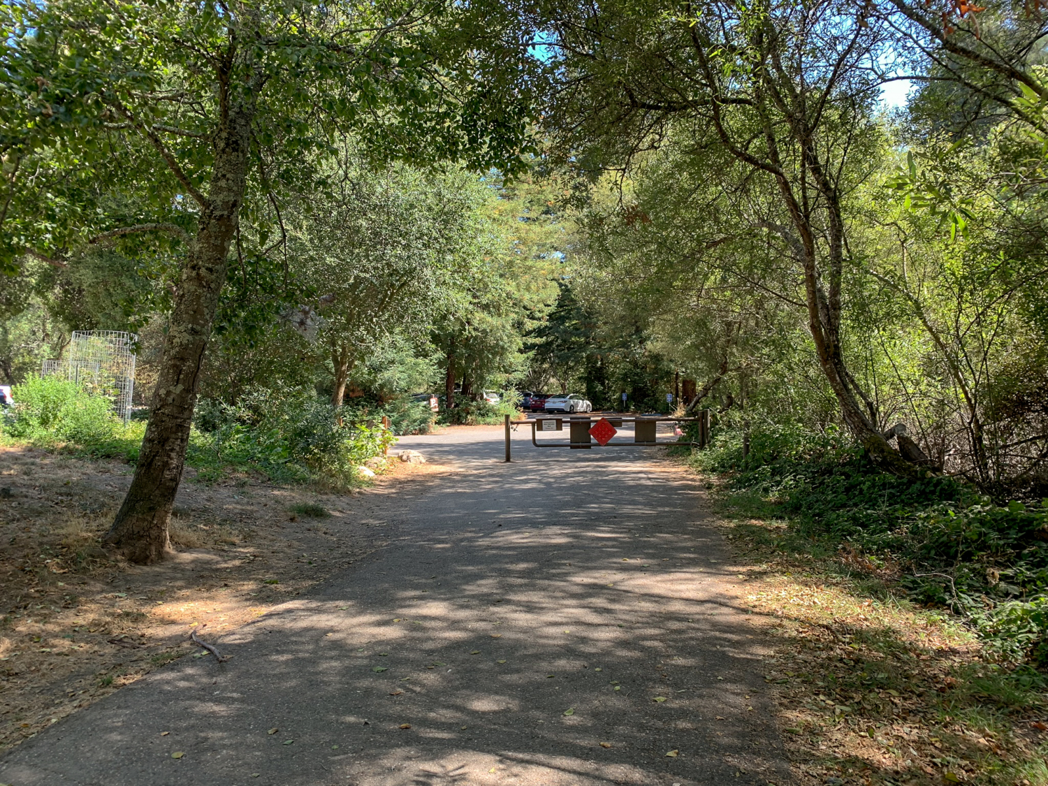
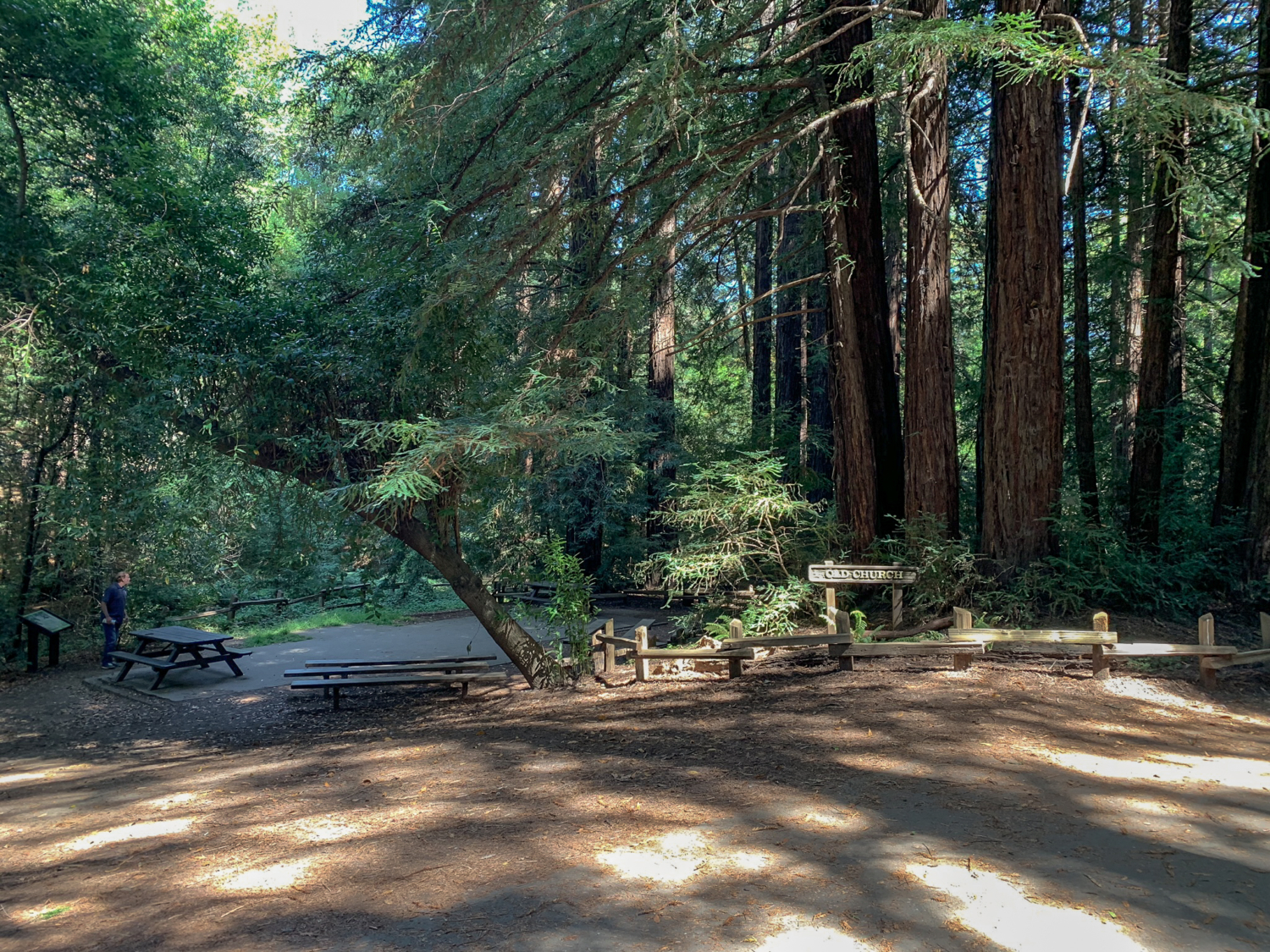
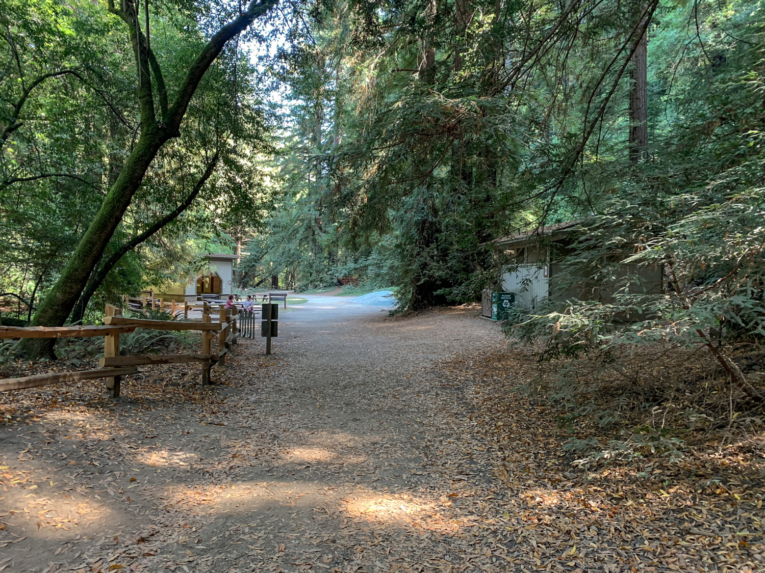
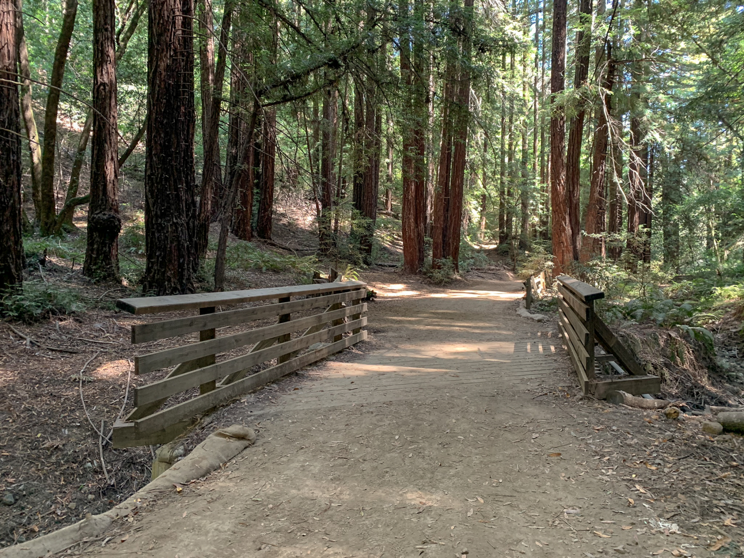
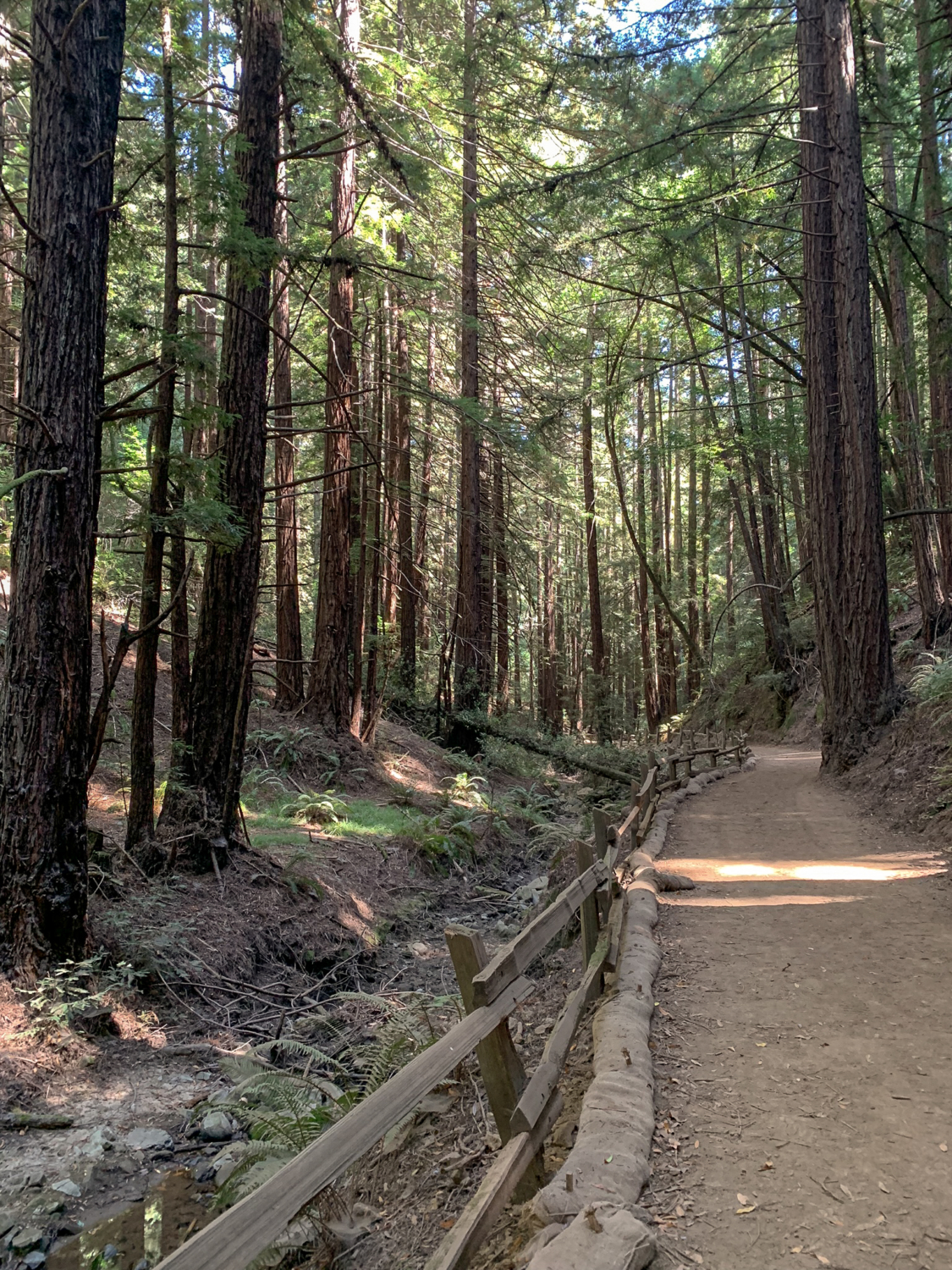
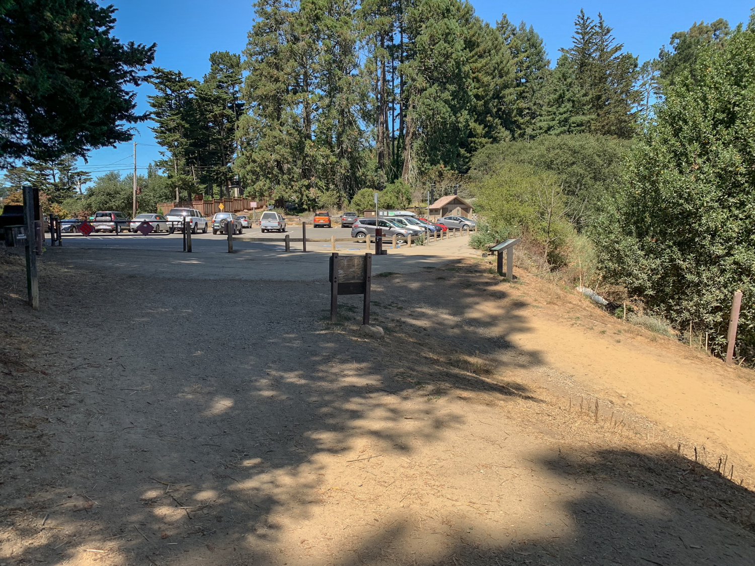
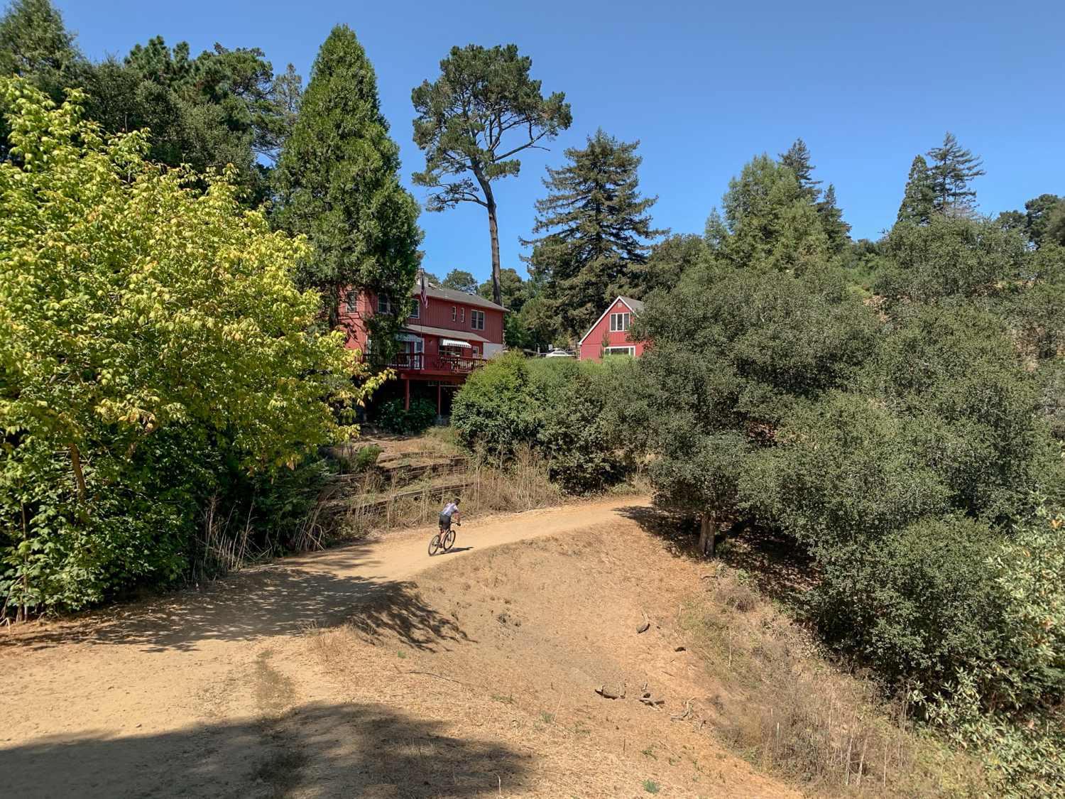
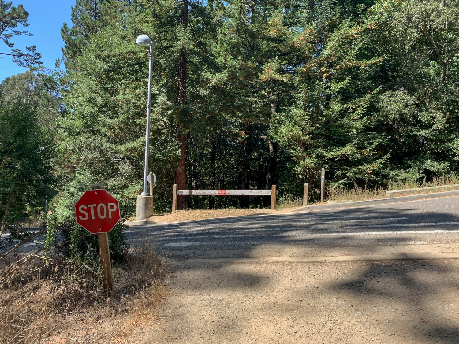
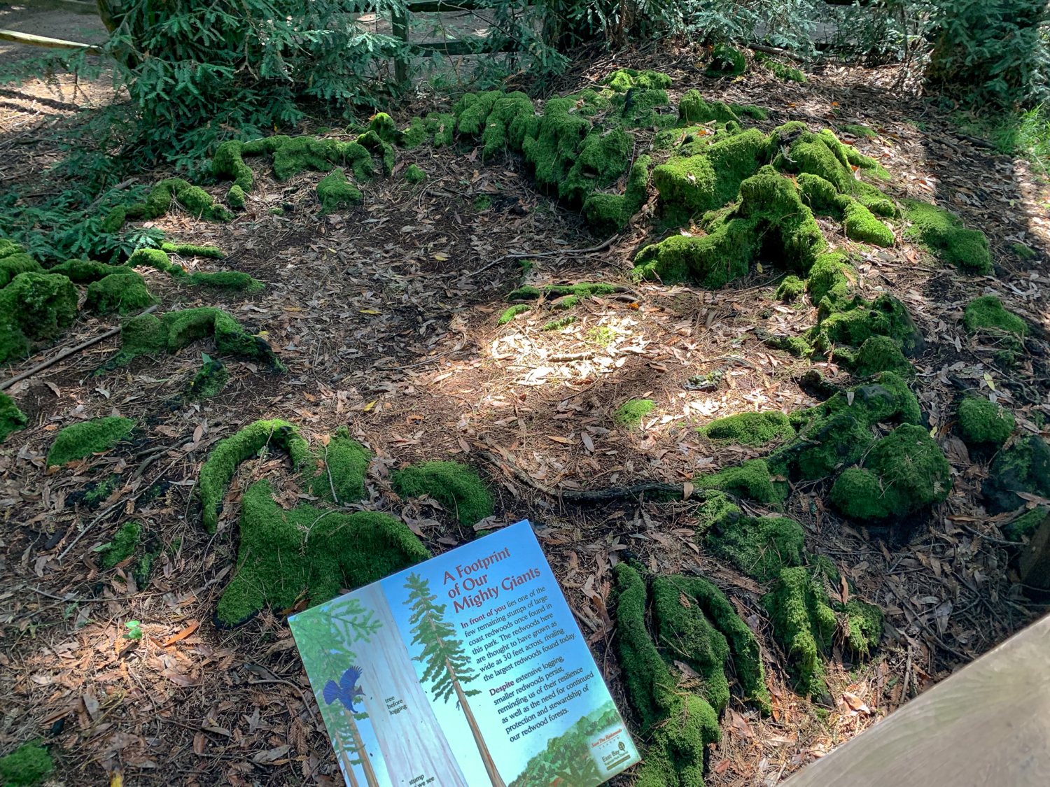
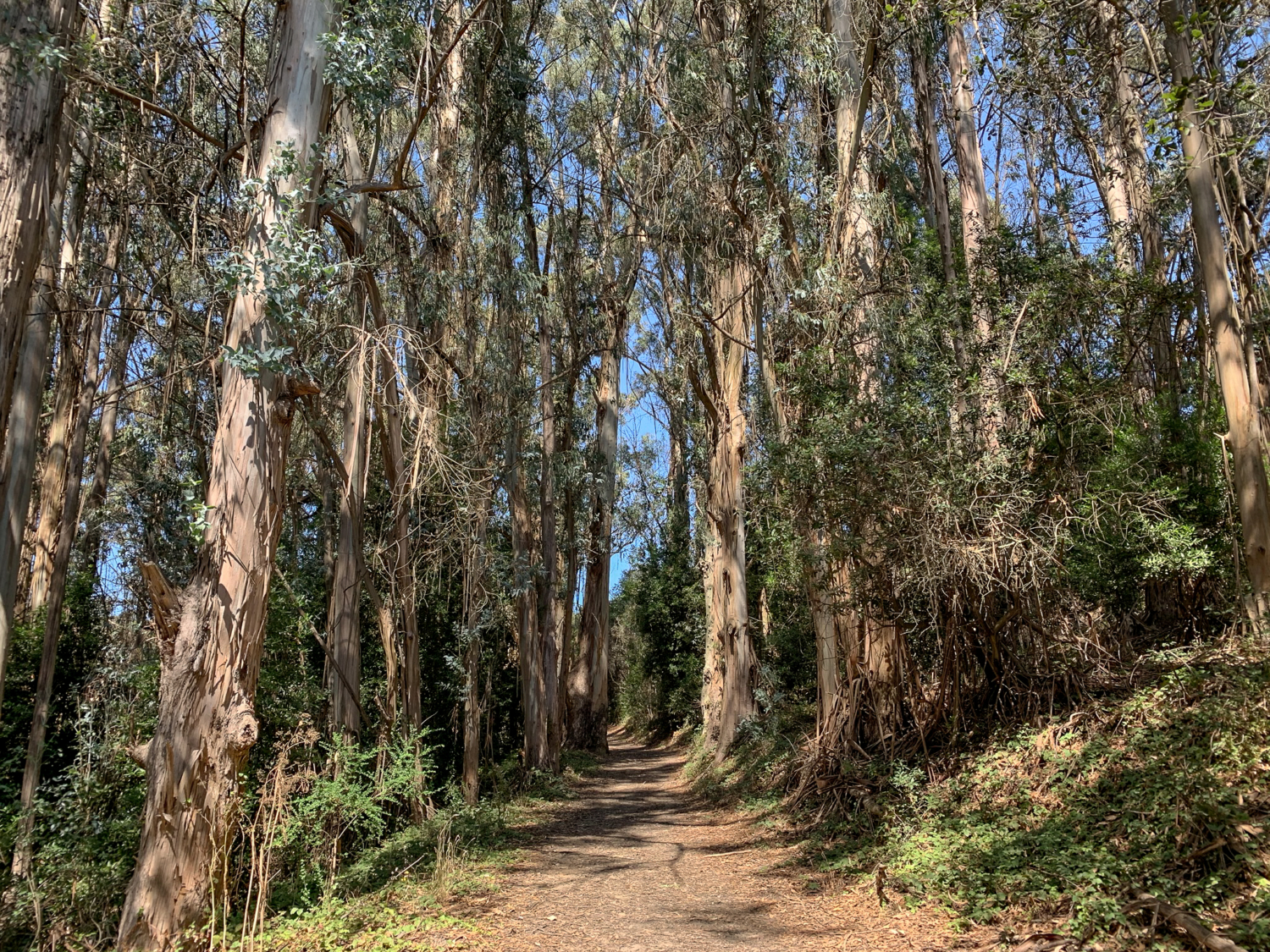
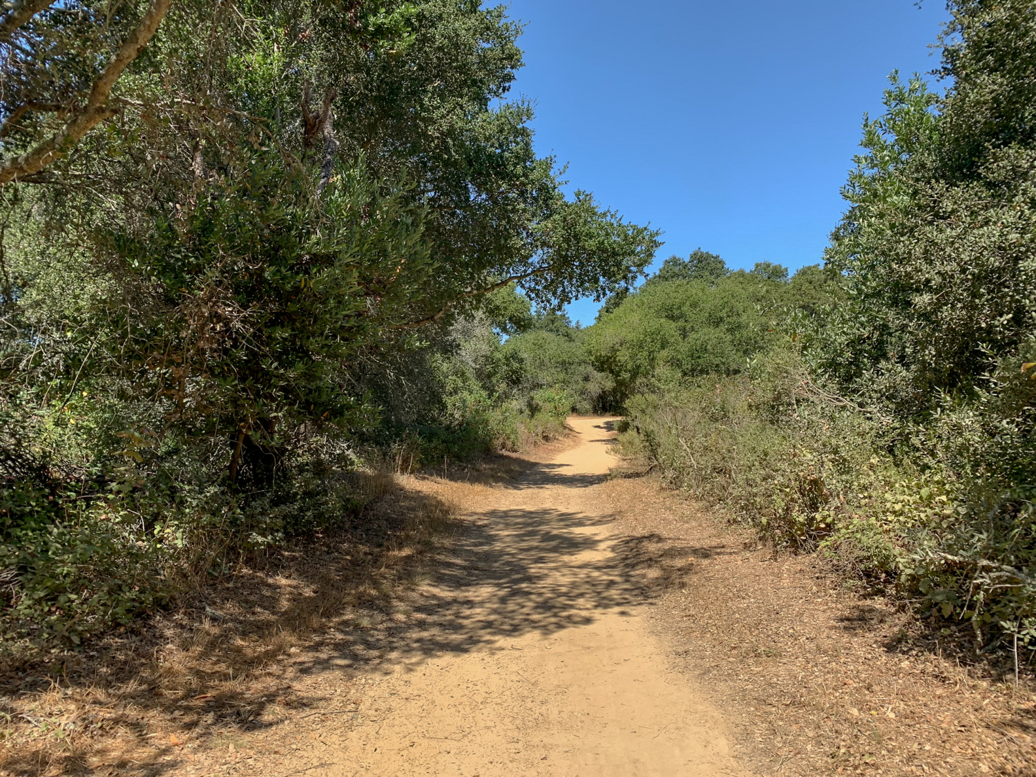
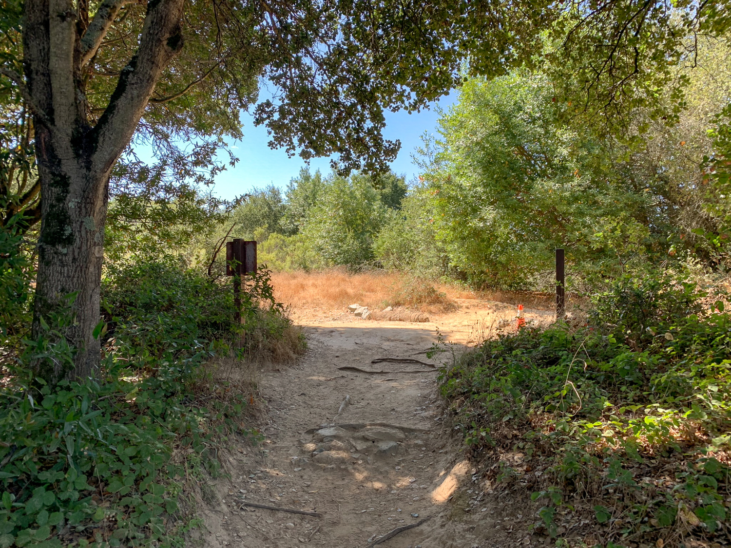
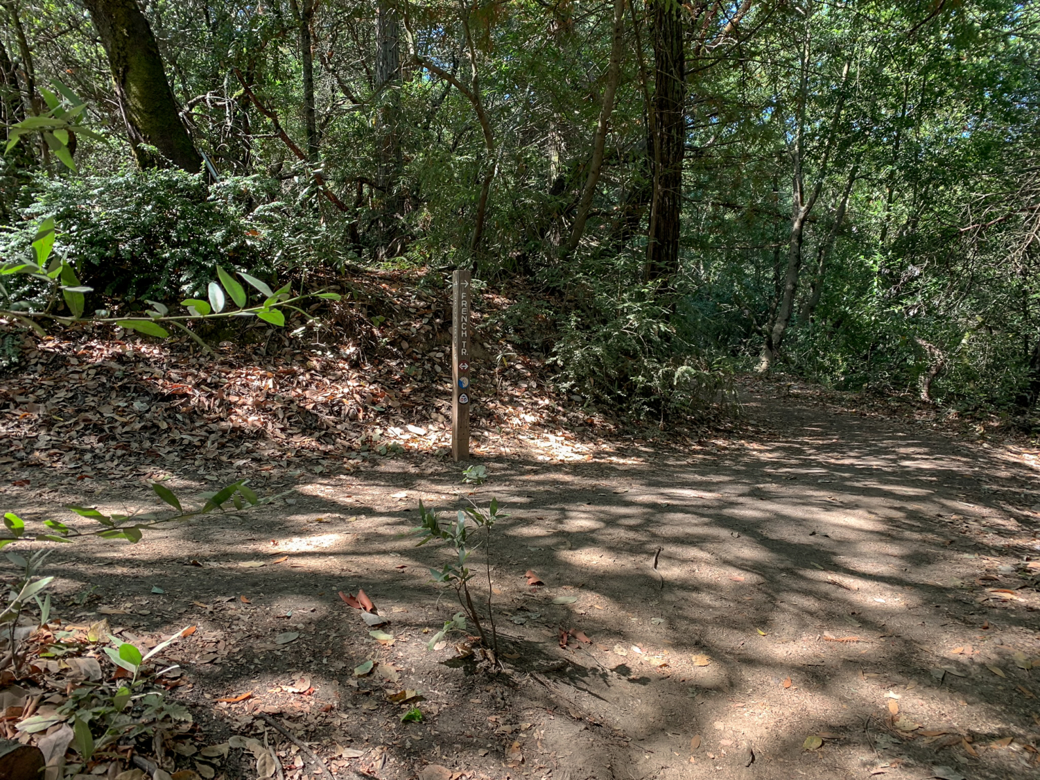
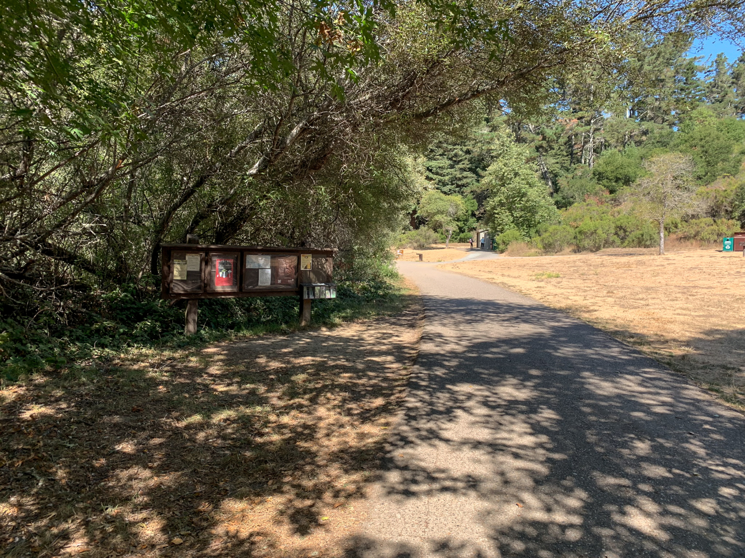
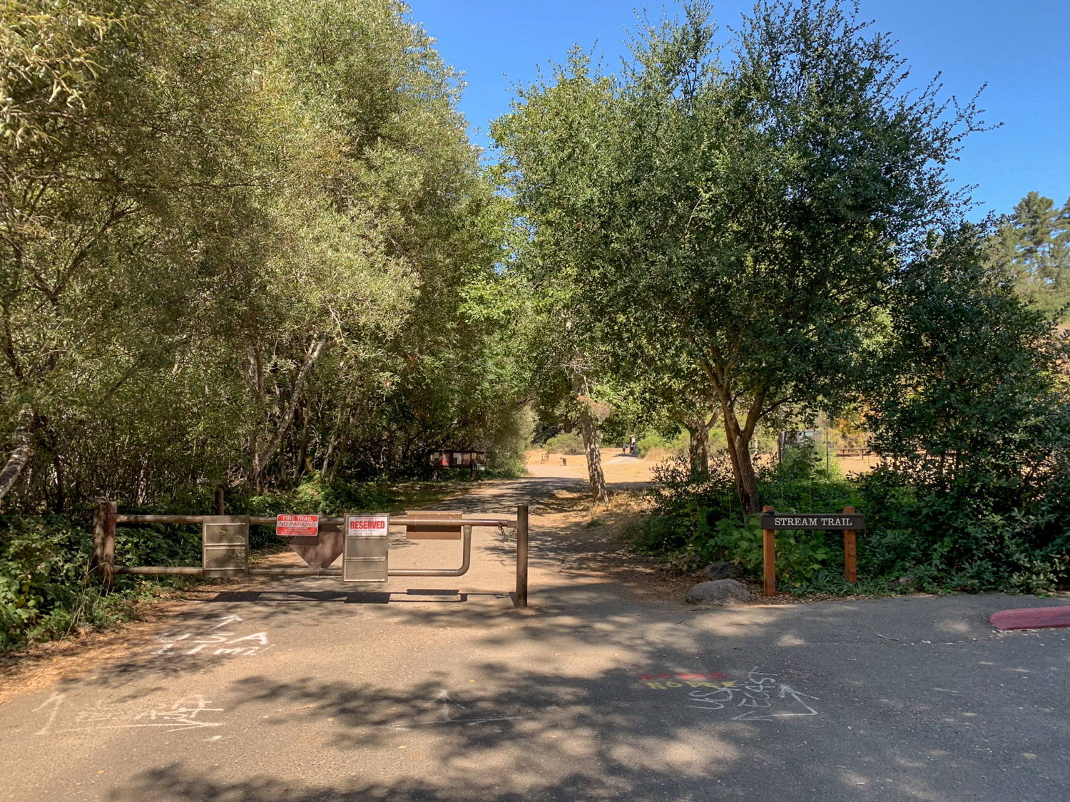
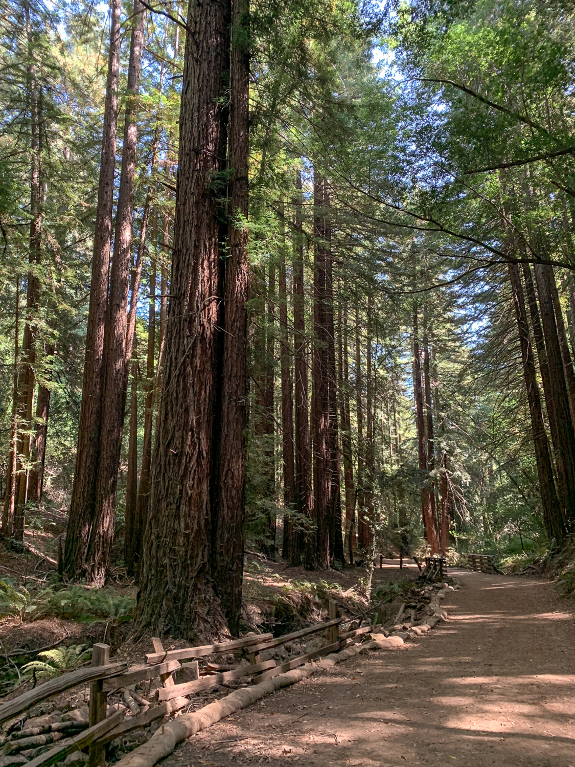
Redwood Regional Park, twelve miles east of downtown Oakland, is filled with giant second growth redwoods, an anomaly among the sun-drenched, flax-colored East Bay hills. The West Ridge-Stream Trail route loops clockwise through the park, traversing the mostly sunny West Ridge Trail and then descending on the cool Stream Trail beside Redwood Creek, with lots of redwood groves in between. There are win-wins in multiple seasons: In summer, it’s a great option to get a hike in AND relief from heat. In winter, ladybugs cluster and Redwood Creek’s water level rises with the rain. Tall coast redwoods provide shade on the Stream Trail beside Redwood Creek. The West Ridge-Stream Trail Loop begins at the Canyon Meadow Staging Area on the southeastern end of the park. This side of the park opens at 8:00 AM and it is free to park on weekdays and weekends between November and March. Between April and October, there is a fee to park on weekends. If you prefer an earlier start, other staging areas open at 5:00 AM as of this writing; check the park’s website for details. I began from Canyon Meadow because of its low elevation; I could get my climbing done first no matter which direction I started from. The Stream Trail picks up from the northwestern edge of the Canyon Meadows Staging Area. Heading northwest from the Canyon Meadow parking lot, pick up the signed Stream Trail beneath shady live oak, bigleaf maple, and willows. A wooden kiosk on your left has free topo maps, and just beyond it are outhouses and a water spigot. The paved Stream Trail is wheelchair accessible and stroller friendly for the first 0.9 miles to Trail’s End—which is a picnic area, not the literal end of the trail. Dog walkers, trail runners, families, redwood enthusiasts, and mountain bikers love this park for its challenging, enriching, peaceful, and approachable feel, all rolled into one package. It feels like a neighborhood park that just keeps on going for miles. A wooden kiosk at the start of the trail has free trail maps. At the 0.4 mile-mark,
Trail Stats
12.6 km
374 m
459 m
174 m
—
Photos
Trail photo
No caption provided.
Trail photo
No caption provided.
Trail photo
No caption provided.
Trail photo
No caption provided.
Trail photo
No caption provided.
Trail photo
No caption provided.
Trail photo
No caption provided.
Trail photo
No caption provided.
Trail photo
No caption provided.

Trail photo
No caption provided.
Trail photo
No caption provided.

Trail photo
No caption provided.

Trail photo
No caption provided.
Trail photo
No caption provided.
Trail photo
No caption provided.
Trail photo
No caption provided.
Trail photo
No caption provided.

Trail photo
No caption provided.

Trail photo
No caption provided.
Trail photo
No caption provided.
Trail photo
No caption provided.
Trail photo
No caption provided.