4 min
Overview
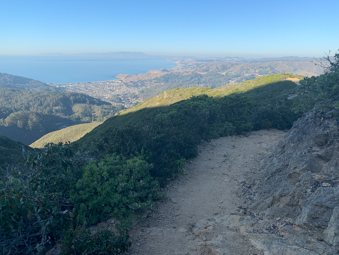
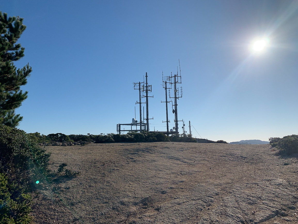
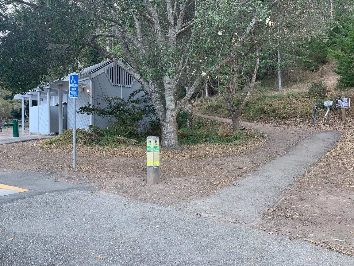
Montara Mountain is a challenging oceanside hike on the northern edge of the Santa Cruz Mountains, mixing Hawaii-like greenery with beautiful coastal views. Climbing Montara via San Pedro Valley County Park, 20 miles south of San Francisco, gives you the option to see a waterfall in the rainy season, and a great hiking experience on a well-maintained single track to Montara Mountain’s North Peak, elevation 1898 feet. Well … technically just below it as of summer 2019. More on that below. A Note on Social Trails Montara Mountain has three main trailheads: a tiny parking lot at the Martini Creek entrance, the Grey Whale Cove parking area, and San Pedro Valley County Park. If you start from the Martini Creek or Grey Whale Cove parking areas on the western side of Montara, you will see a maze of social trails from hikers taking shortcuts. California State Parks discourages hiking on these social trails because they harm the park’s plants, animals, and soil, and they simply weren’t built with the park’s environmental health and sustainability in mind. Whatever your approach, please stick to official trails when approaching Montara: the Gray Whale Cove Trail, Old Pedro Mountain Road, the North Peak Access Road, and the Montara Mountain Trail. Montara Mountain Trail Begin your hike in San Pedro Valley County Park’s main parking lot, picking up the Montara Mountain Trail next to a grey building with restrooms. In 165 feet, turn right at a junction with the Brooks Creek Trail and cross a paved road, staying straight on the Montara Mountain Trail. Zigzag up the clear single track through Douglas fir and blue gum eucalyptus. Helpful mileage signs are posted every 0.25 miles, a nice way to check your progress. The trail has a family-friendly and community vibe; you may see families out exploring with children, parents toting babies in carriers, and girlfriends having an afternoon out. At 0.75 miles, the trail emerges into the sun with a view of the radio towers atop North Peak and Middle Peak. At 1.3 miles, reach the Bro
Trail Stats
12.6 km
548 m
561 m
54 m
—
Photos
Trail photo
No caption provided.

Trail photo
No caption provided.

Trail photo
No caption provided.
Trail photo
No caption provided.
Trail photo
No caption provided.
Trail photo
No caption provided.
Trail photo
No caption provided.
Trail photo
No caption provided.
Trail photo
No caption provided.
Trail photo
No caption provided.

Trail photo
No caption provided.
Trail photo
No caption provided.
Trail photo
No caption provided.
Trail photo
No caption provided.
Trail photo
No caption provided.

Trail photo
No caption provided.
Trail photo
No caption provided.
Trail photo
No caption provided.
Trail photo
No caption provided.
Trail photo
No caption provided.
Trail photo
No caption provided.

Trail photo
No caption provided.