4 min
Overview
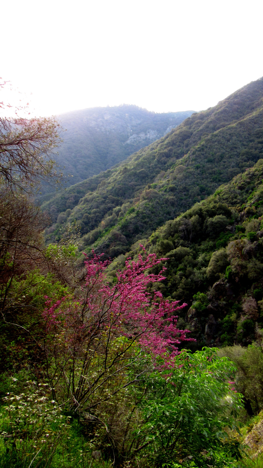
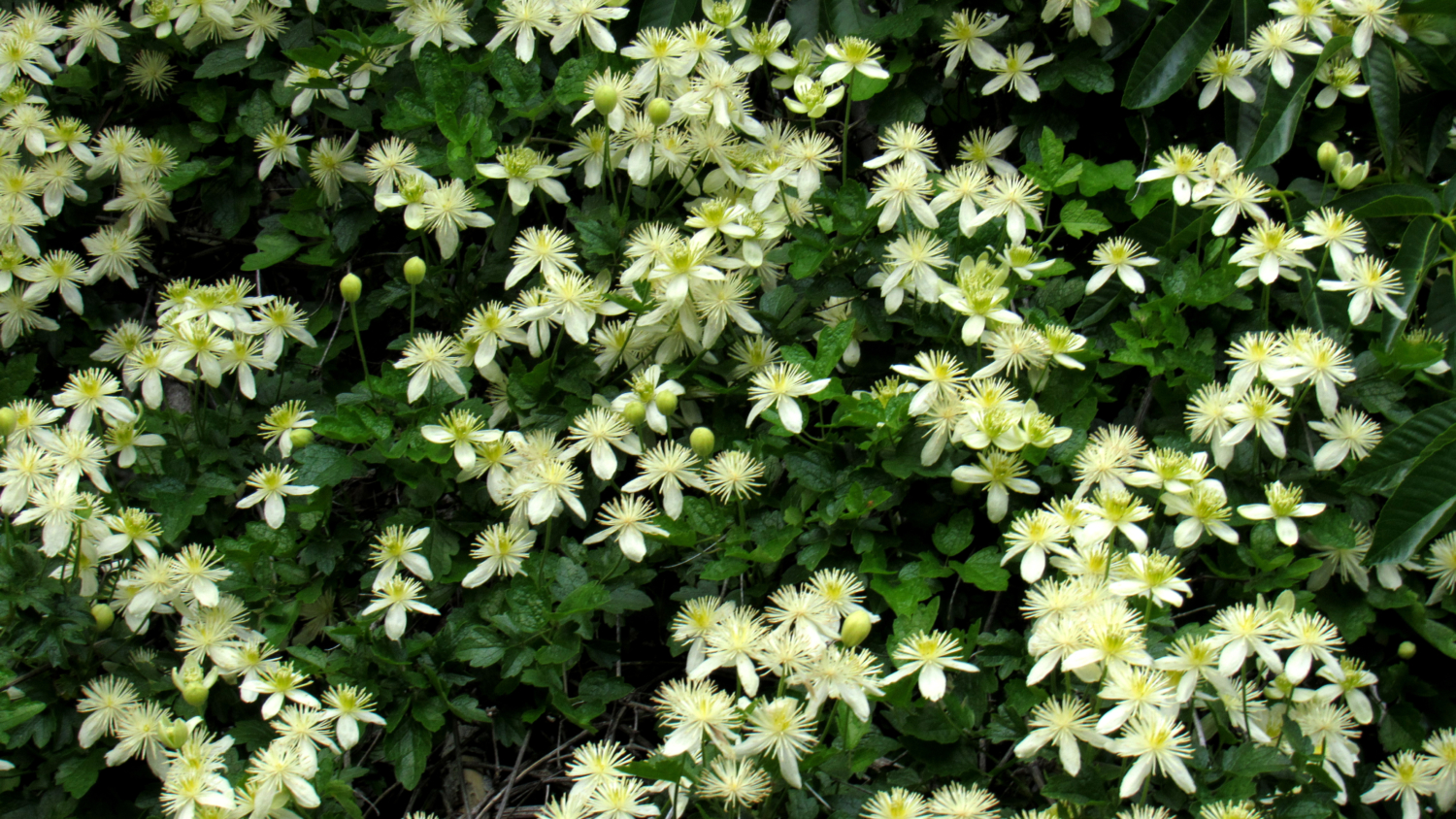
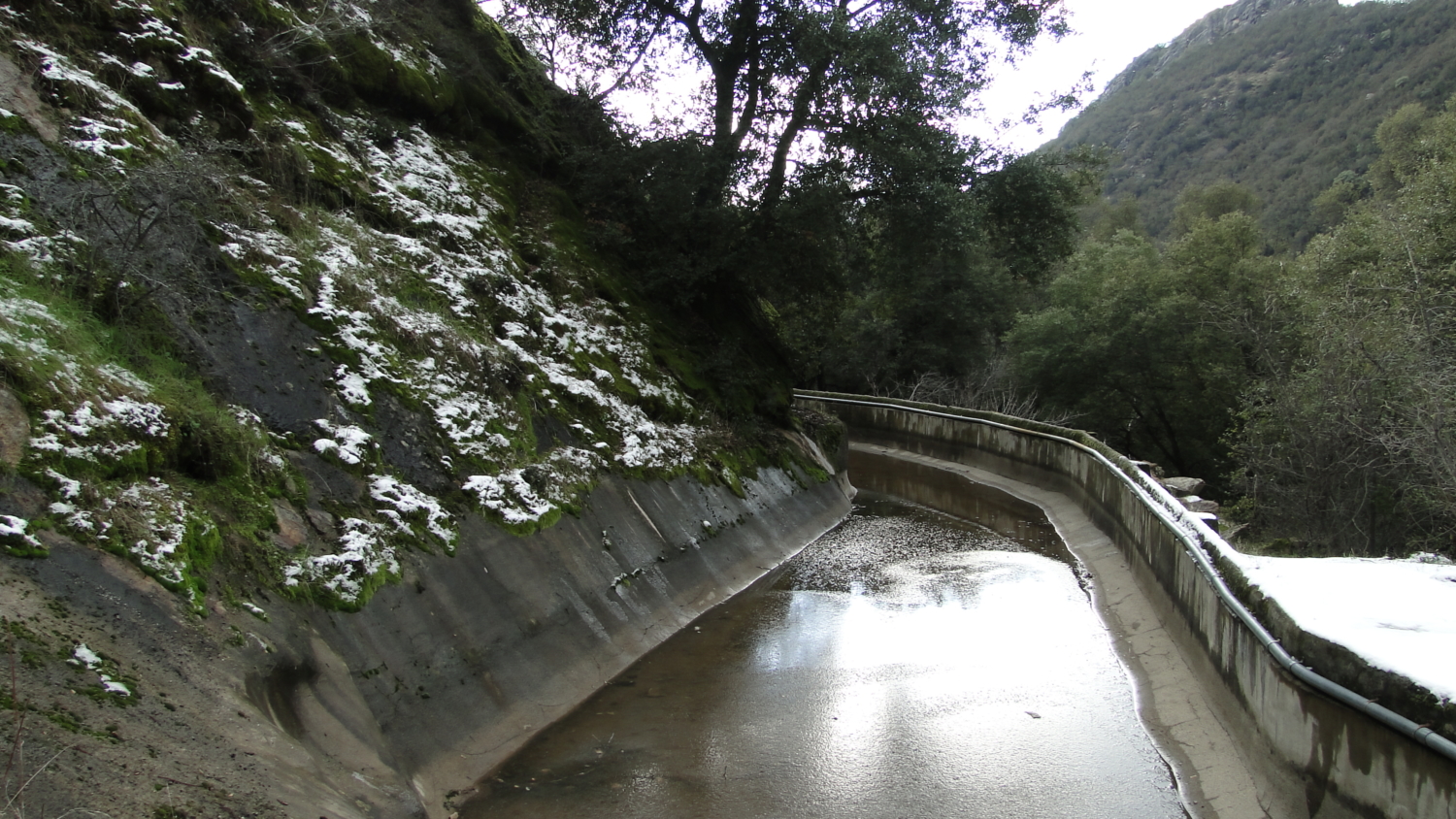
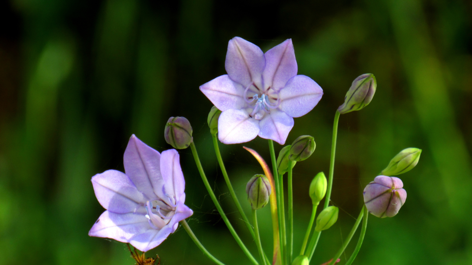
Due north of Potwisha Campground and the confluence of the Marble and Middle Forks of the Kaweah River, swollen torrents of snowmelt cascade over gleaming white marble within the cavernous creases of Deep Canyon. Although the upper reaches of this impressive set of cataracts known as Marble Falls are inaccessible – particularly during full flood – hikers can reach the lower section by way of a moderate trail that winds along the eastern wall of Deep Canyon through an appealing mixture of foothill habitats. One caution about this route: the foothill region of Sequoia National Park becomes excessively hot during the summer with daily temperatures routinely exceeding triple-digits for weeks at a time. Summer is a poor time to attempt this hike. Winter and Fall are good times, but the flow of the river is generally low and seasonal wildflowers will also be minimal. Spring, specifically the magical period between the end of March and the beginning of May, will be the best times to take this hike. Not only are wildflowers present in abundance, but this time coincides with increasing run-off in the high country, which swells the Marble Fork. Beginning from a small day-use lot on the north end of the campground next to campsite 14, pass the gate and proceed north along a dirt road. The Marble Fork rumbles along out of sight but within earshot. Closer afoot, you will notice an old, weathered canal carrying off some of the river’s water. This canal is part of a system of canals that once fed a hydroelectric plant constructed in the early 20th Century by the Mt. Whitney Power Company. The company and the plant have long been defunct, but the canals continue to carry water. After 0.25 mile on the dirt road, you reach the signed junction for the Marble Falls Trail on your right. Step onto this narrow single track trail and begin climbing through a shaded stretch of oak woodland. During April, the grassy carpet looming in the shade of the trees comes alive with an assortment of wildflowers, including goldfields, broadiae, bl
Trail Stats
10.5 km
579 m
1112 m
644 m
—
Photos
Trail photo
No caption provided.
Trail photo
No caption provided.
Trail photo
No caption provided.
Trail photo
No caption provided.
Trail photo
No caption provided.
Trail photo
No caption provided.