4 min
Overview
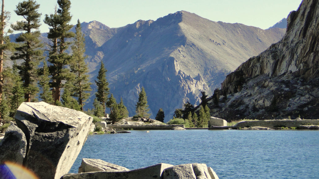
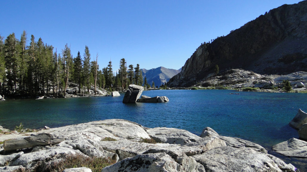
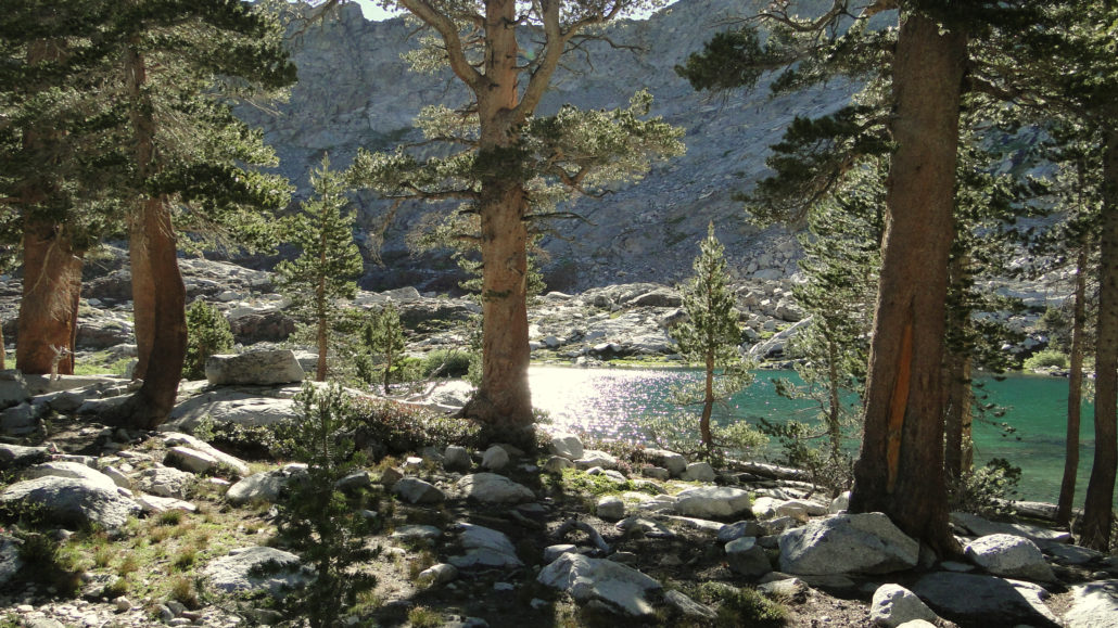
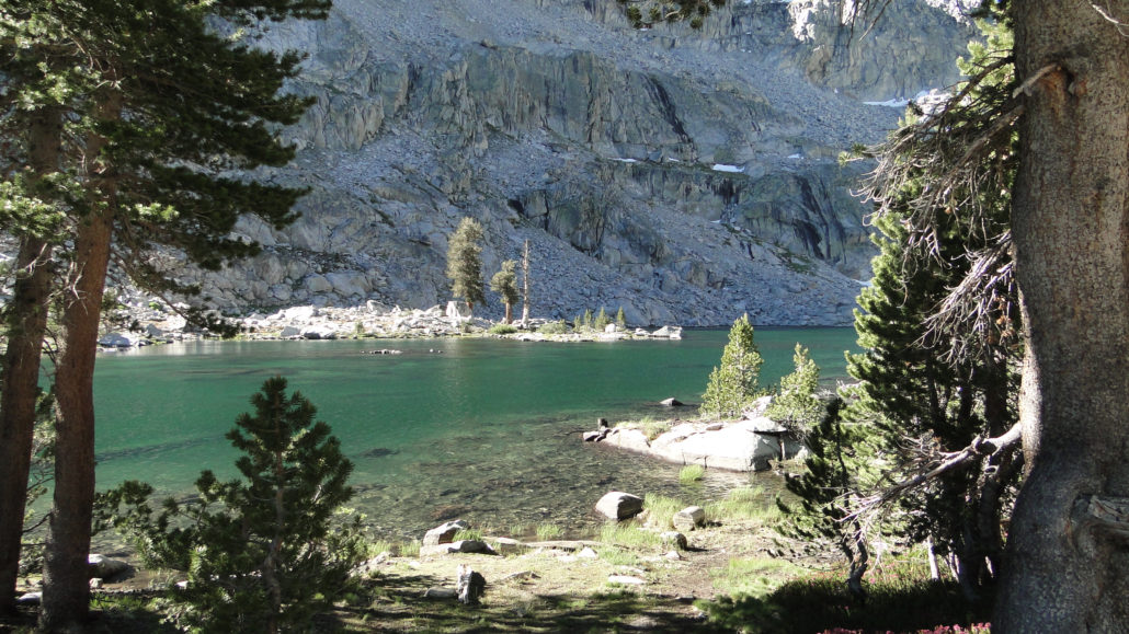
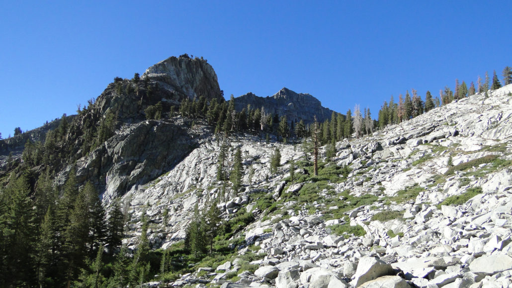
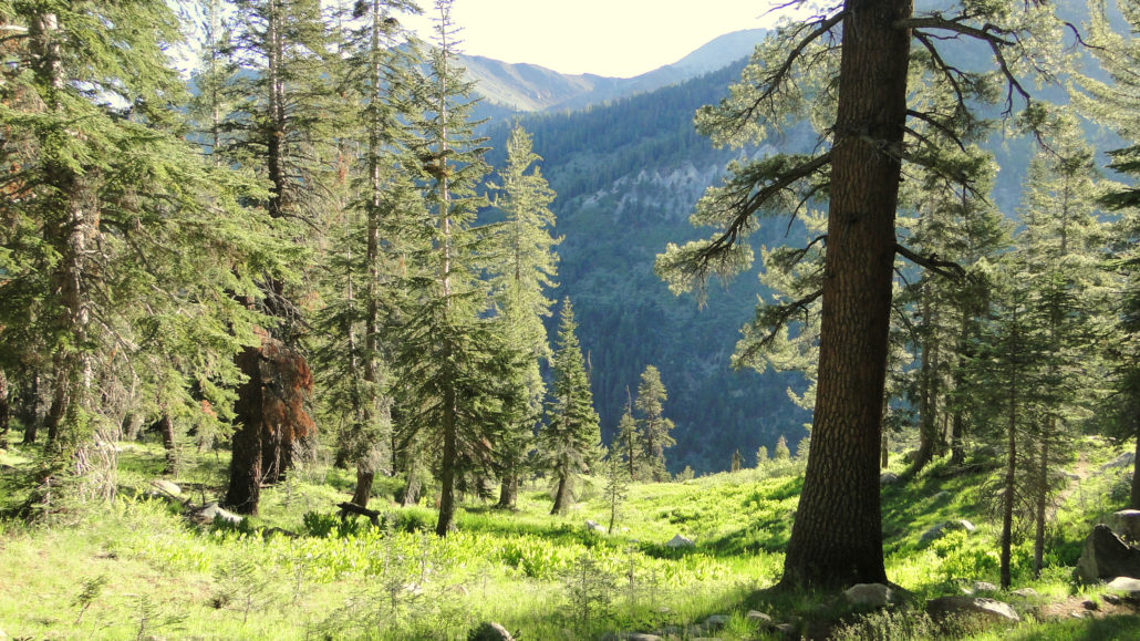
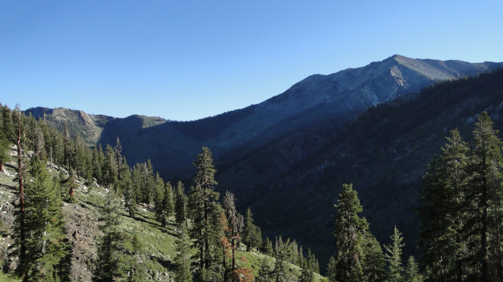
One of the great things about Mineral King Valley is easy access to Sierran high country on the western end of Sequoia National Park. From the Eagle-Mosquito Trailhead, which is just a hair shy of 8,000’, there is access to three separate glacially carved valleys – Eagle, Mosquito, and White Chief, containing the kinds of lakes, meadows, and alpine forests that one usually has to backpack to get to. While backpacking is a definite possibility at Eagle Lake, it is also a relatively manageable 6.8 mile day hike with about 2,400’ of gain. That’s certainly no slouch, but given a full day and a picnic lunch, this classic alpine lake is a great way to catch High Sierra scenery without a High Sierra trek. Eagle Lake The three valleys in questions are hanging valleys. A hanging valley occurs when a tributary glacier at a high elevation emerges at the rim of a deeper canyon. Because the tributary glacier does not cut as deep as the main glacier, it does not reach the same depth, and it therefore ends abruptly at the edge of a cliff. Yosemite is most famous for these valleys, but Mineral King features a number of similarly cut valleys, including the glacial bowl that contains Eagle Lake. Looking out over Mineral King The trail to Eagle Lake starts at the parking lot for the Eagle-Mosquito Trailhead, which you will reach after rounding the final bend on Mineral King Road and emerging into sublime Mineral King Valley. Be aware that Mineral King is the residence for a sizable population of marmots, who have a talent for wreaking havoc on everything from bathrooms to your lunch to the cables and hoses inside your car. For this reason, you are likely to see a number of cars either encircled in chicken wire, wrapped in tarps, or with their hoods propped open to discourage a shade-loving marmot from setting up shop in your engine compartment. It’s a wise move to take precautions, especially early in the season when previously hibernating marmots emerge from the slumber looking for snacks. Yellow-bellied marmot Right off the ba
Trail Stats
11.6 km
731 m
3064 m
2338 m
—
Photos
Trail photo
No caption provided.
Trail photo
No caption provided.
Trail photo
No caption provided.
Trail photo
No caption provided.
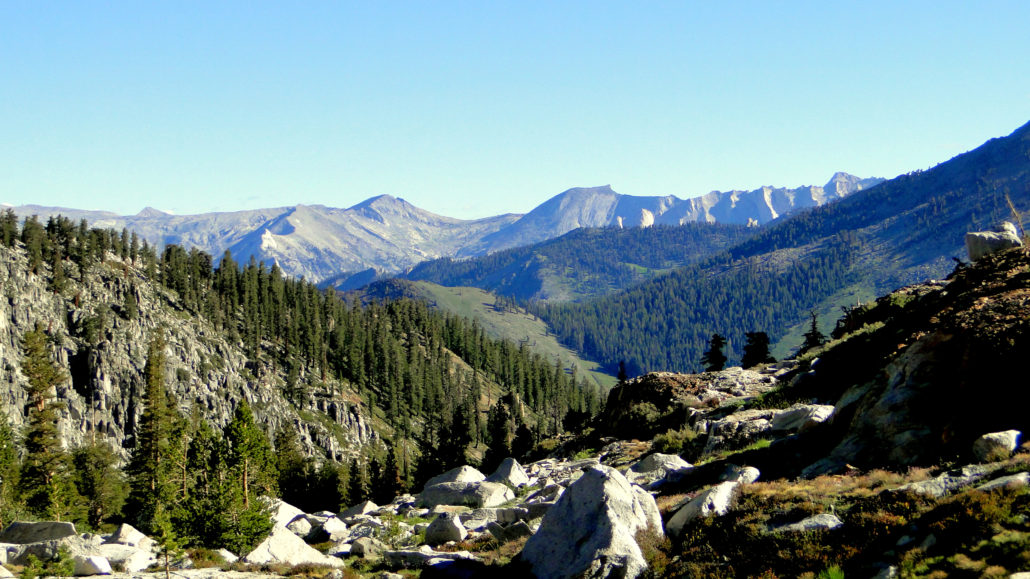
Trail photo
No caption provided.
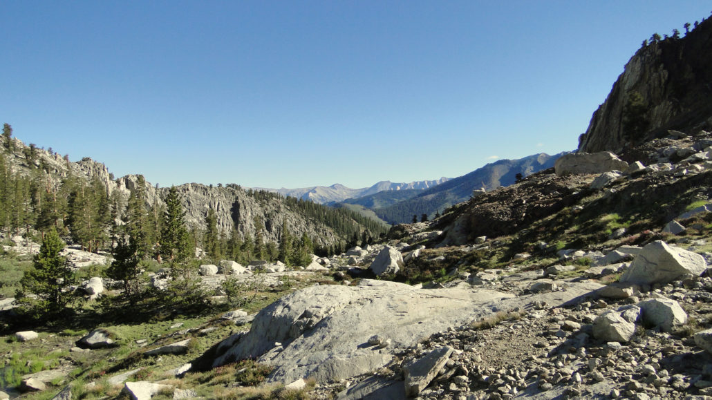
Trail photo
No caption provided.

Trail photo
No caption provided.
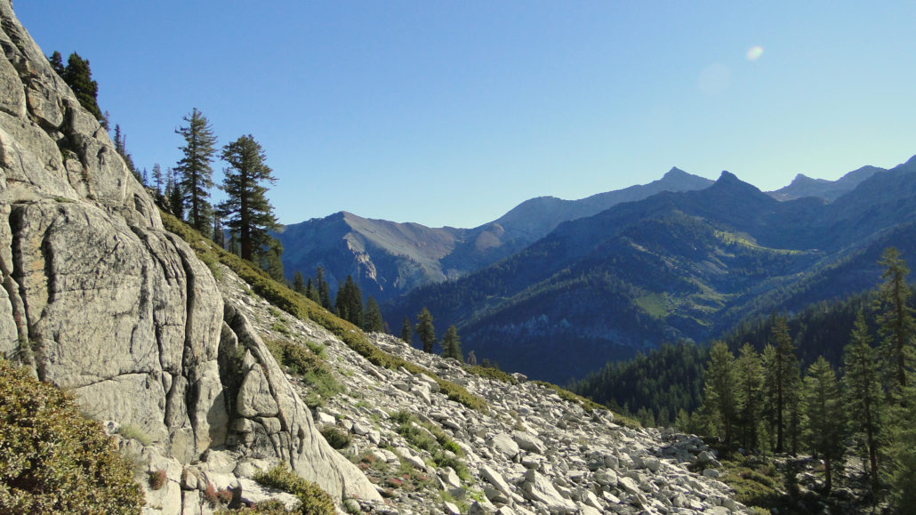
Trail photo
No caption provided.
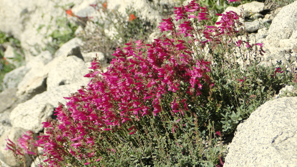
Trail photo
No caption provided.
Trail photo
No caption provided.
Trail photo
No caption provided.
Trail photo
No caption provided.
Trail photo
No caption provided.
Trail photo
No caption provided.
Trail photo
No caption provided.
Trail photo
No caption provided.
Trail photo
No caption provided.
Trail photo
No caption provided.
Trail photo
No caption provided.
Trail photo
No caption provided.
Trail photo
No caption provided.