4 min
Overview
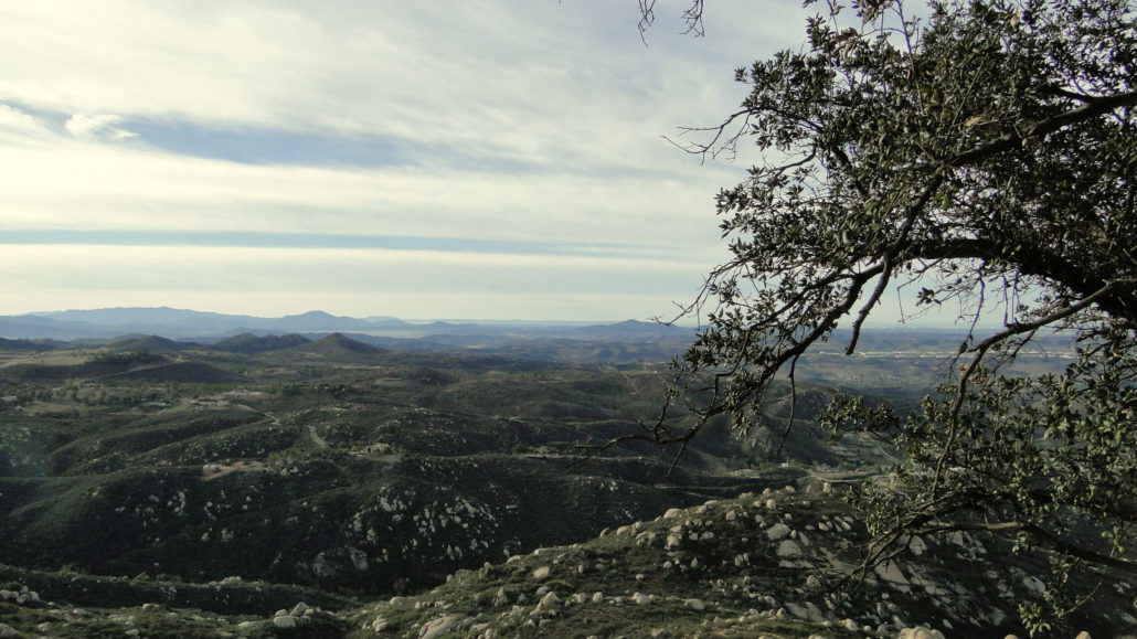
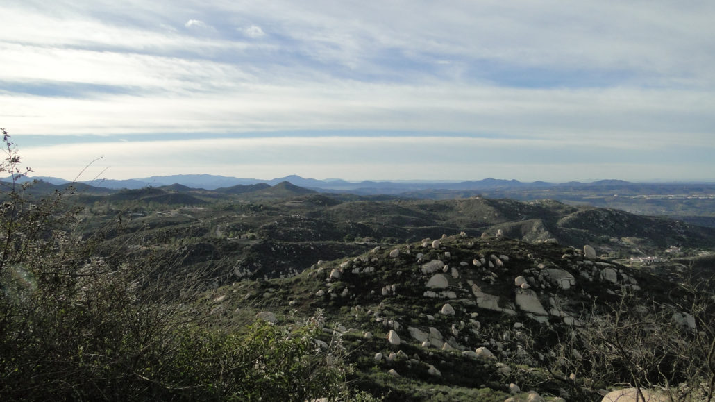
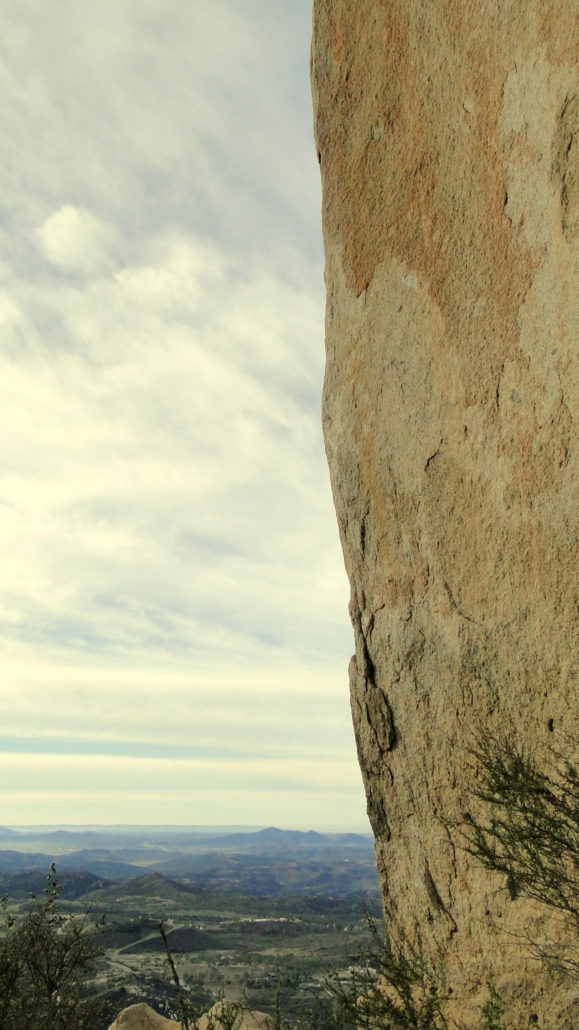
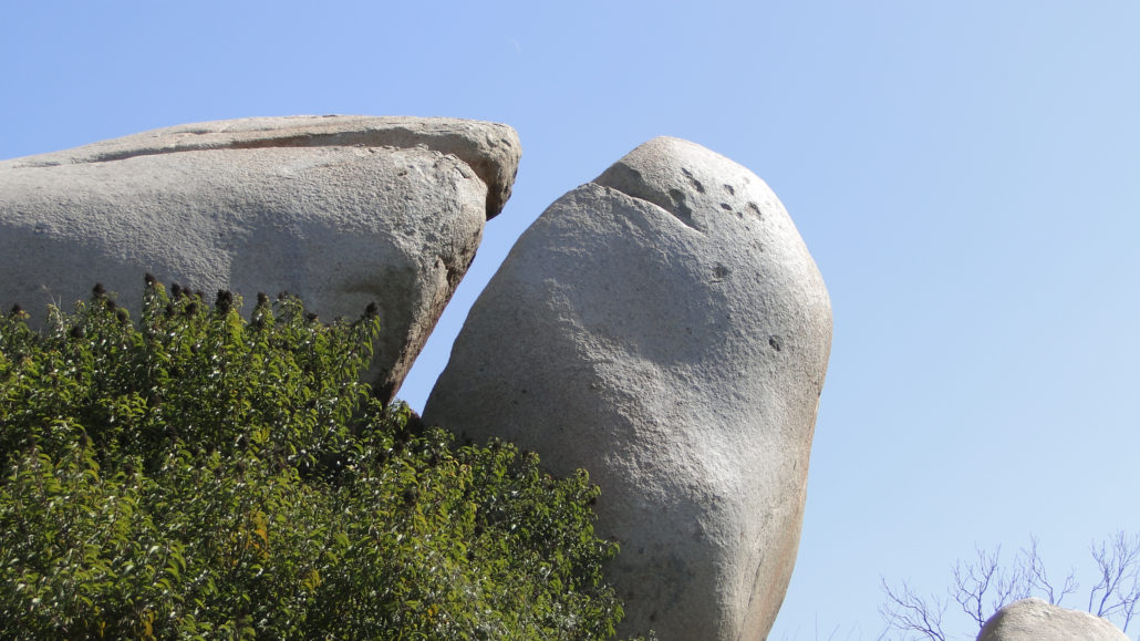
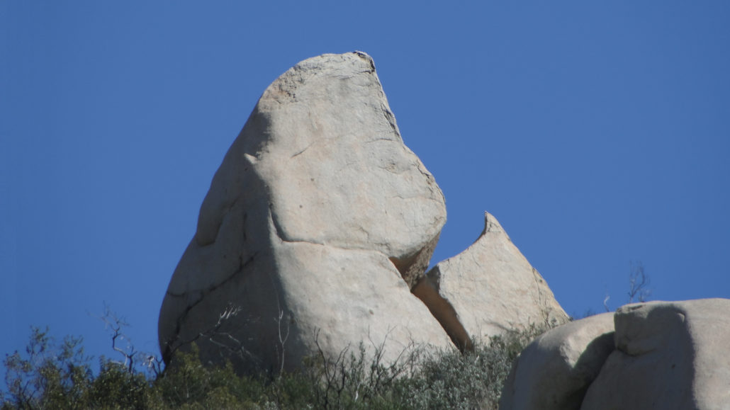
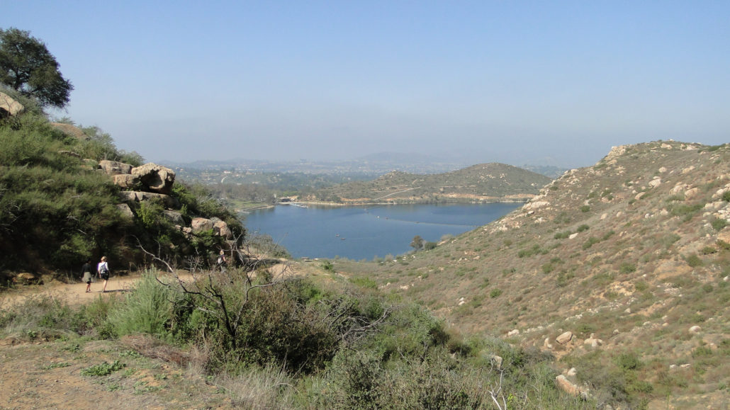
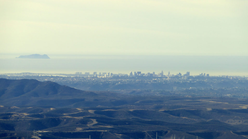
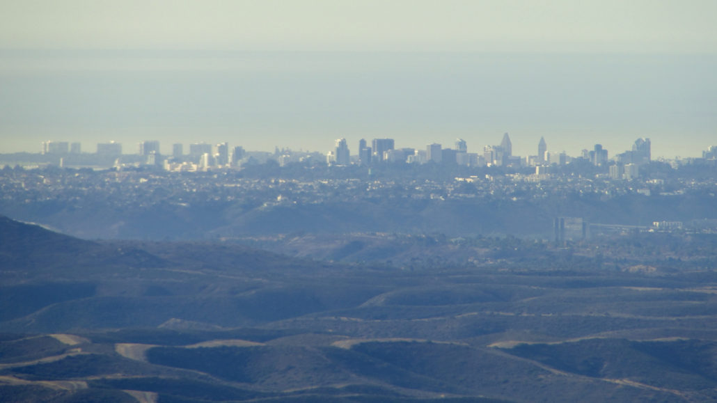
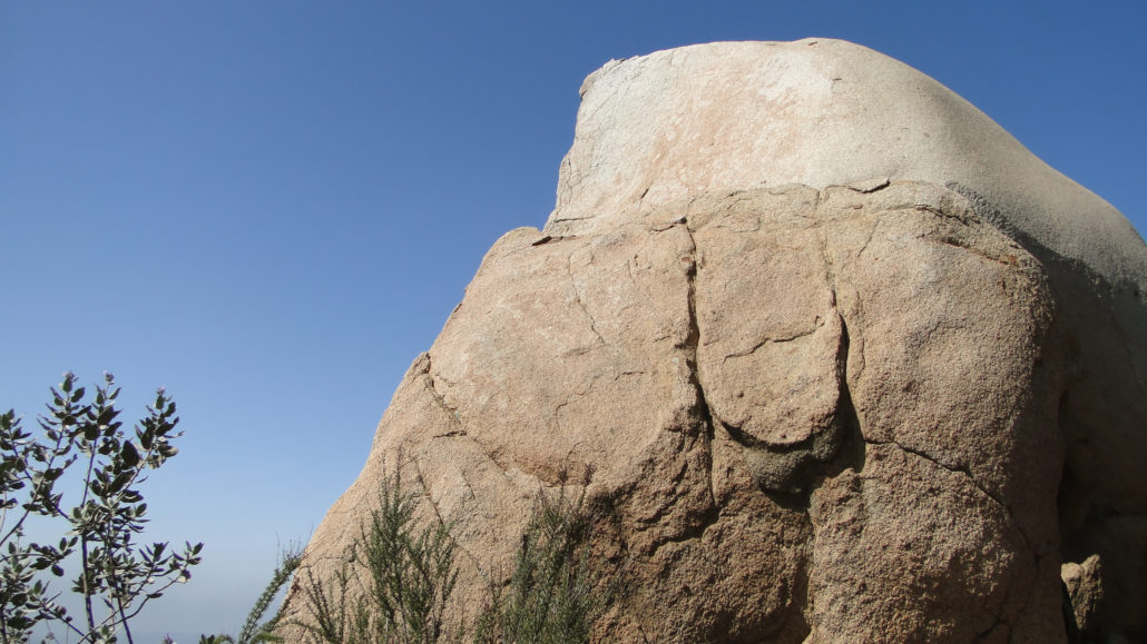
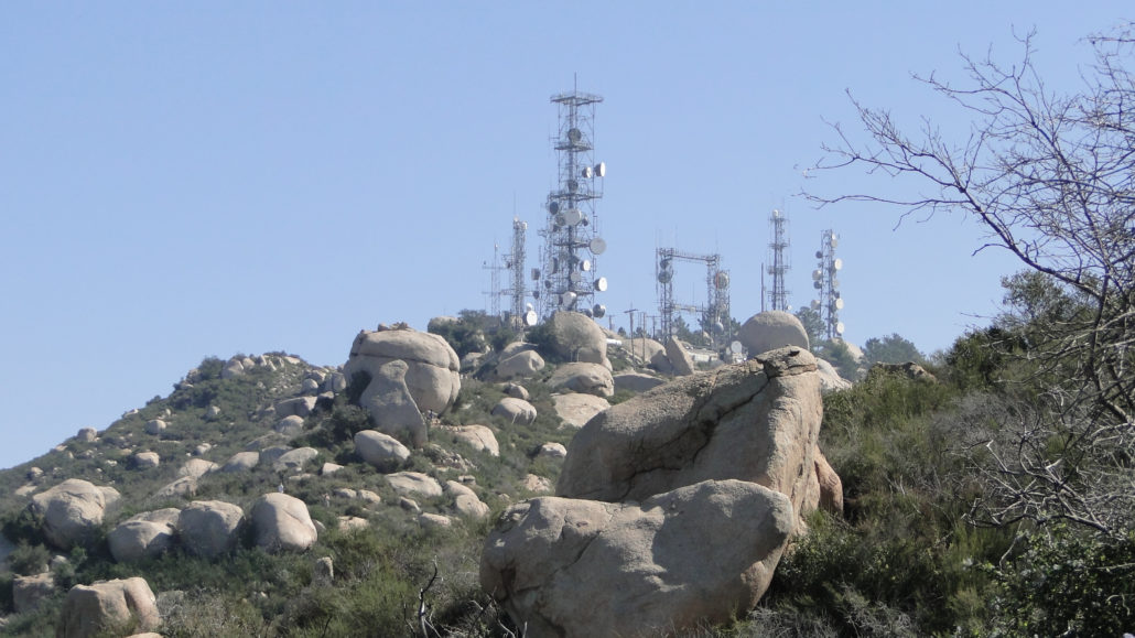
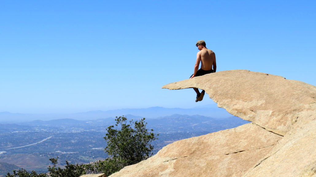
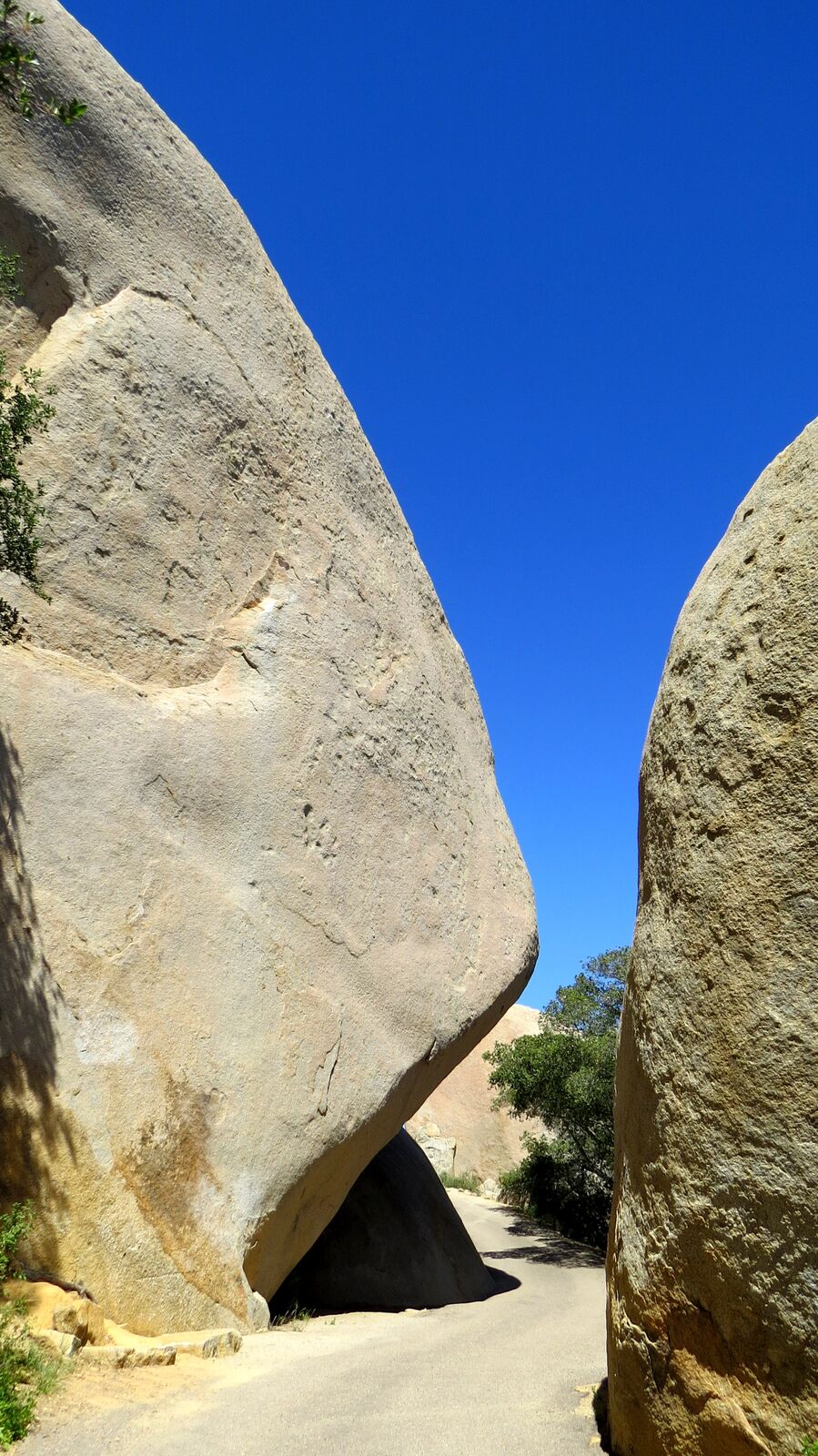
Fun fact: This hike is not named “Potato Chip Rock.” The term Potato Chip Rock likely derives from Jerry Schad, he of Afoot and Afield fame. Jerry had a tendency to name certain landmarks that struck his fancy, and if you scour Afoot and Afield, you’ll find a few of his other likely creations: Mile High Mountain, the Domelands, etc. But none of his monikers have inspired quite so much, um, fame, as the name Potato Chip Rock, which applies for a flake of granodiorite that seemingly protrudes into space. The irony is that, product of the pre-digital age that he was, Jerry Schad would have had no idea that a passing nickname placed in a print publication would become one of the most social media-famous spots in all of San Diego. Also, pro tip: It’s not Mt. Woodson, either. It’s Woodson Mountain. Check the topos, yo. Famous Potato Chip Rock Of course, there’s a lot more to this hike than just Potato Chip Rock, even if people hike it to spend hours waiting in line to take a derivative selfie. Woodson also happens to be the tallest of the peaks in a small complex of mountains that also includes nearby Iron Mountain. Woodson also enjoys a geographic position that affords expansive views across the western half of the countyfrom the nearly 3,000’ summit. In addition to the views, Woodson is also famous for its maze of granite boulders, some of which reach massive proportions or attain fantastic shapes, including the aforementioned Potato Chip. This write-up covers four possible options to the summit: Lake Poway: 6.6 miles, 2,000 feet of gain Blue Sky Approach: 10.3 miles, 2500 feet of gain East Approach via Service Road: 4 miles, 1200 feet of gain Fry-Koegel Approach: 7 miles, 1500 feet of gain History Trail to the summit Local Native-Americans were reported to call Woodson Mountain “The Mountain of the Moonlit Rock,” which describes the omnipresent and highly reflective white granite boulders. These boulders formed within the earth as part of one massive granite block. However, as the granite cooled, it cracked an
Trail Stats
15.4 km
609 m
874 m
197 m
—
Photos
Trail photo
No caption provided.
Trail photo
No caption provided.
Trail photo
No caption provided.
Trail photo
No caption provided.
Trail photo
No caption provided.
Trail photo
No caption provided.
Trail photo
No caption provided.
Trail photo
No caption provided.
Trail photo
No caption provided.
Trail photo
No caption provided.
Trail photo
No caption provided.
Trail photo
No caption provided.
Trail photo
No caption provided.
Trail photo
No caption provided.
Trail photo
No caption provided.