3 min
Overview
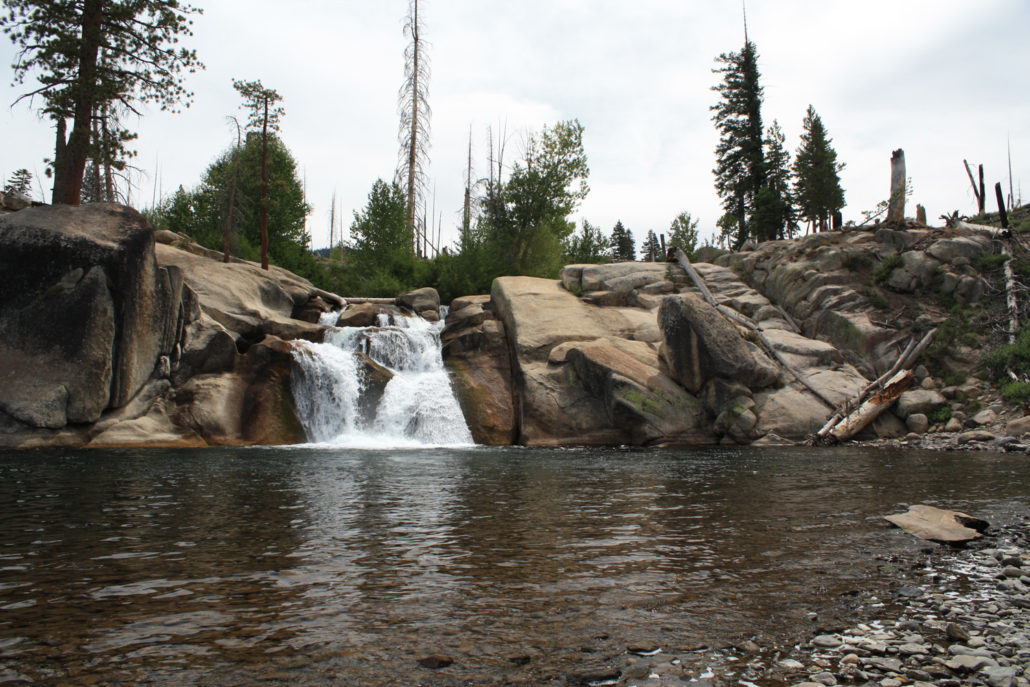
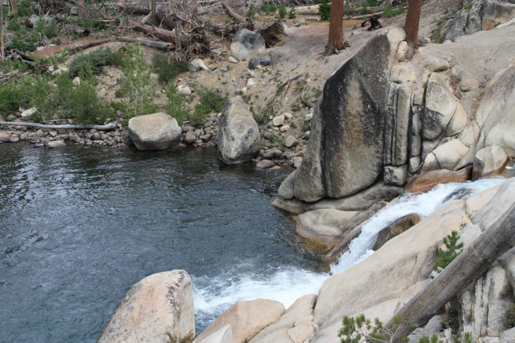
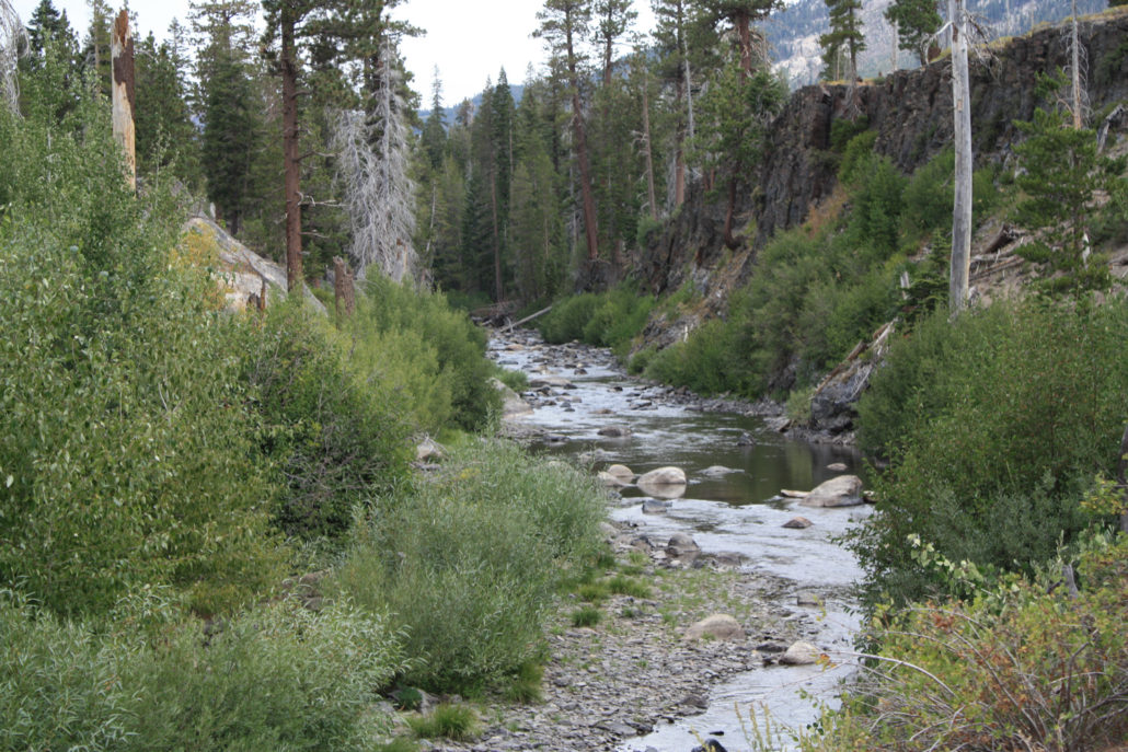
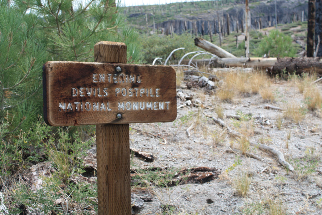
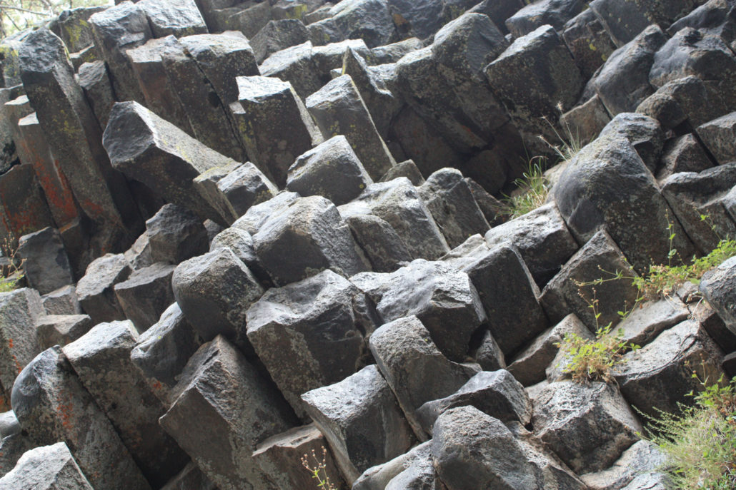
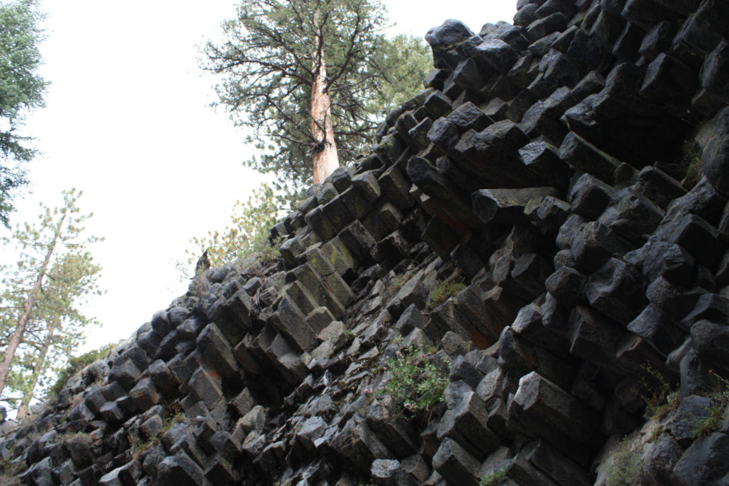
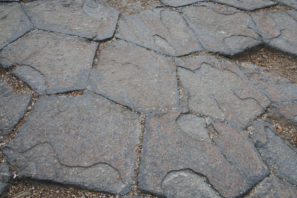
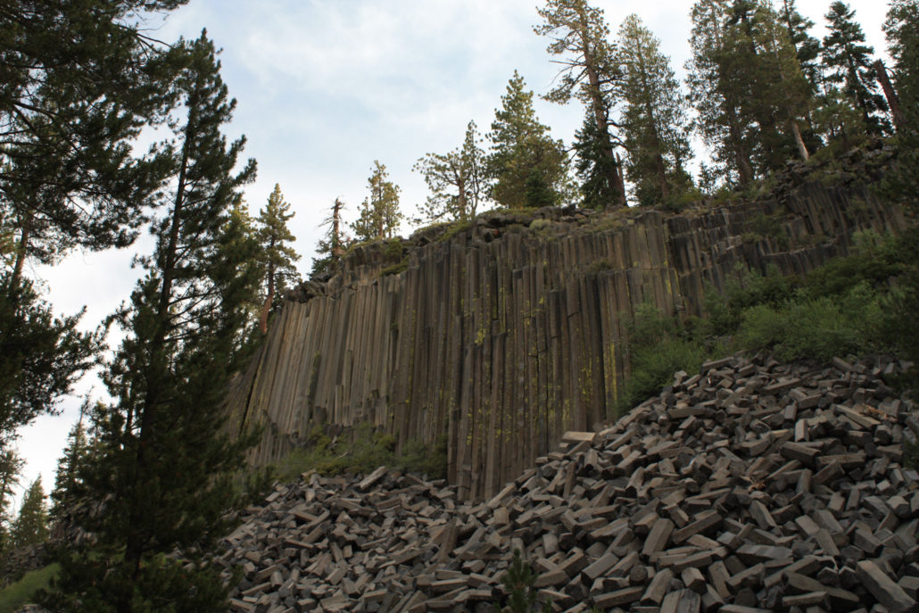
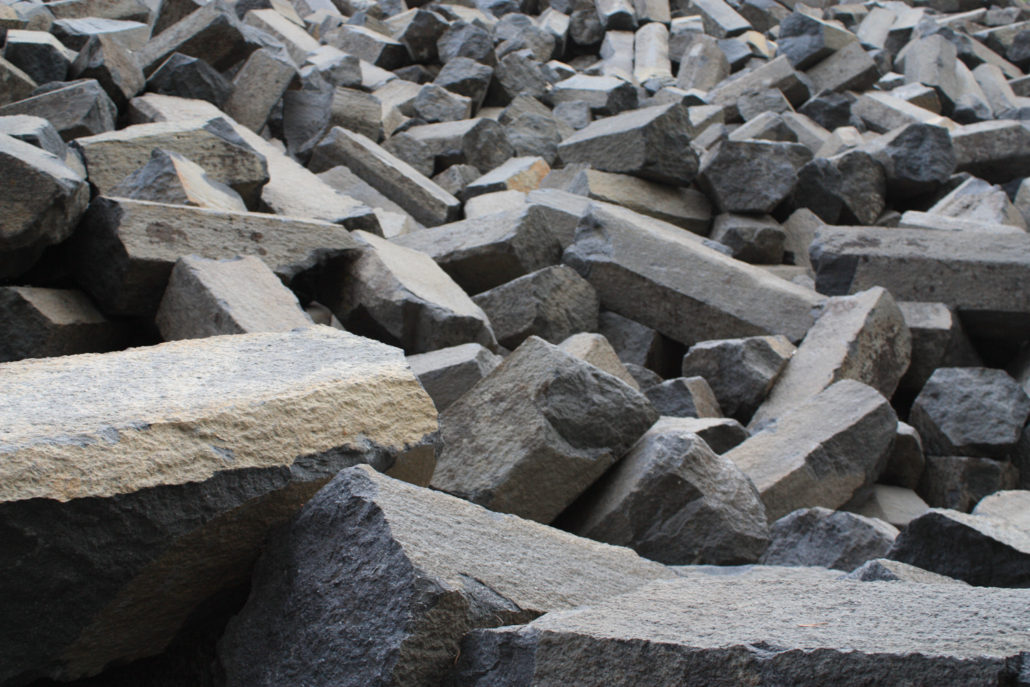
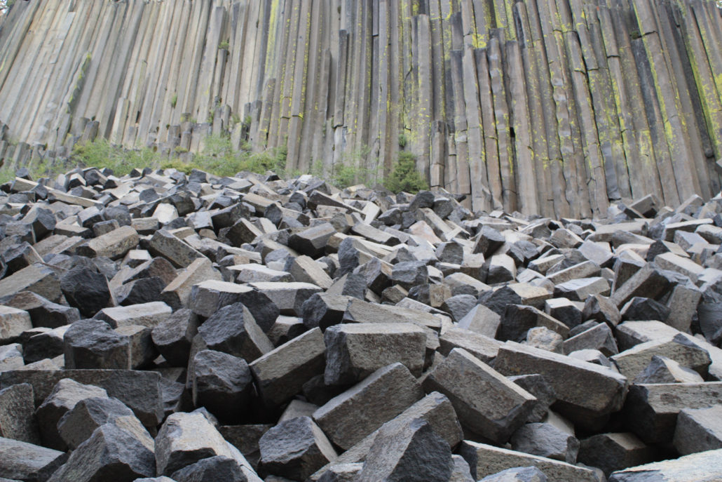
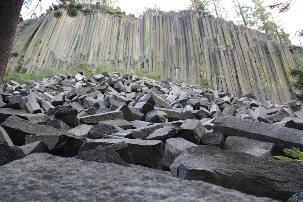
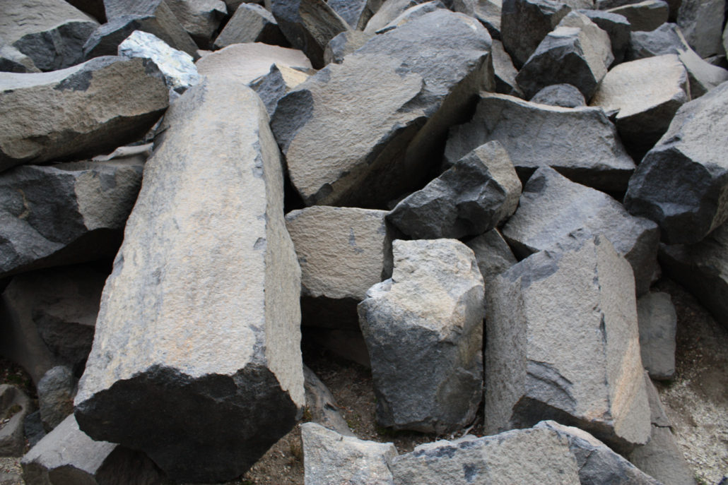
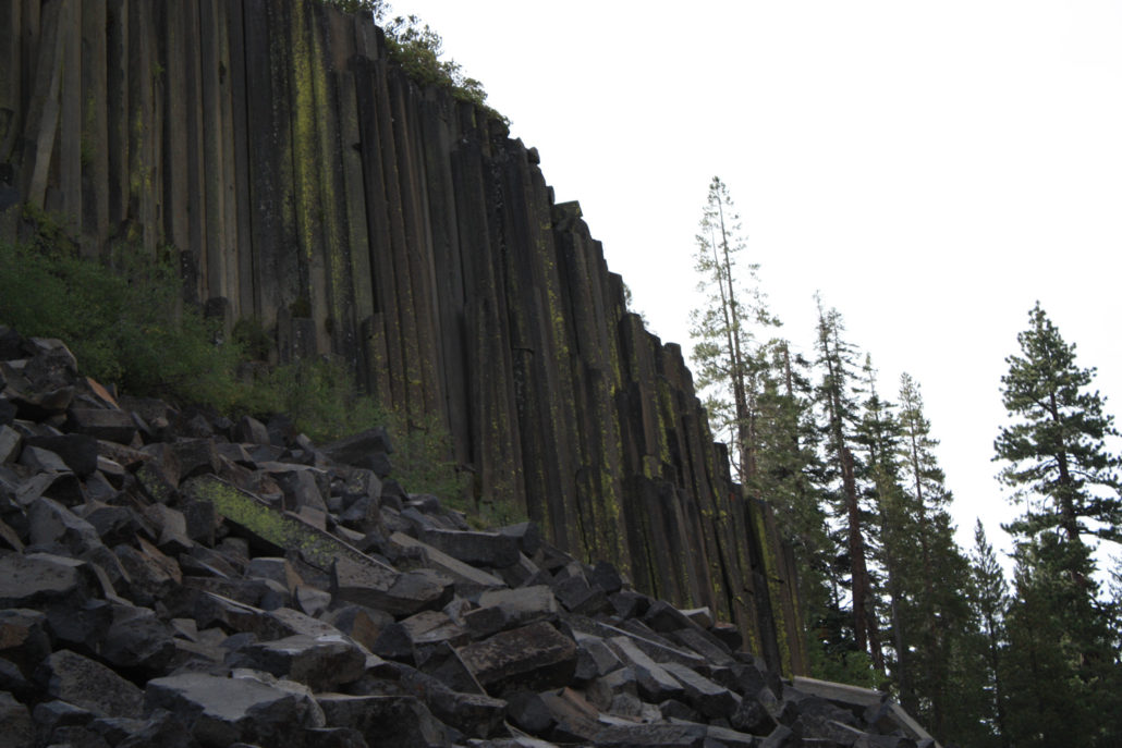
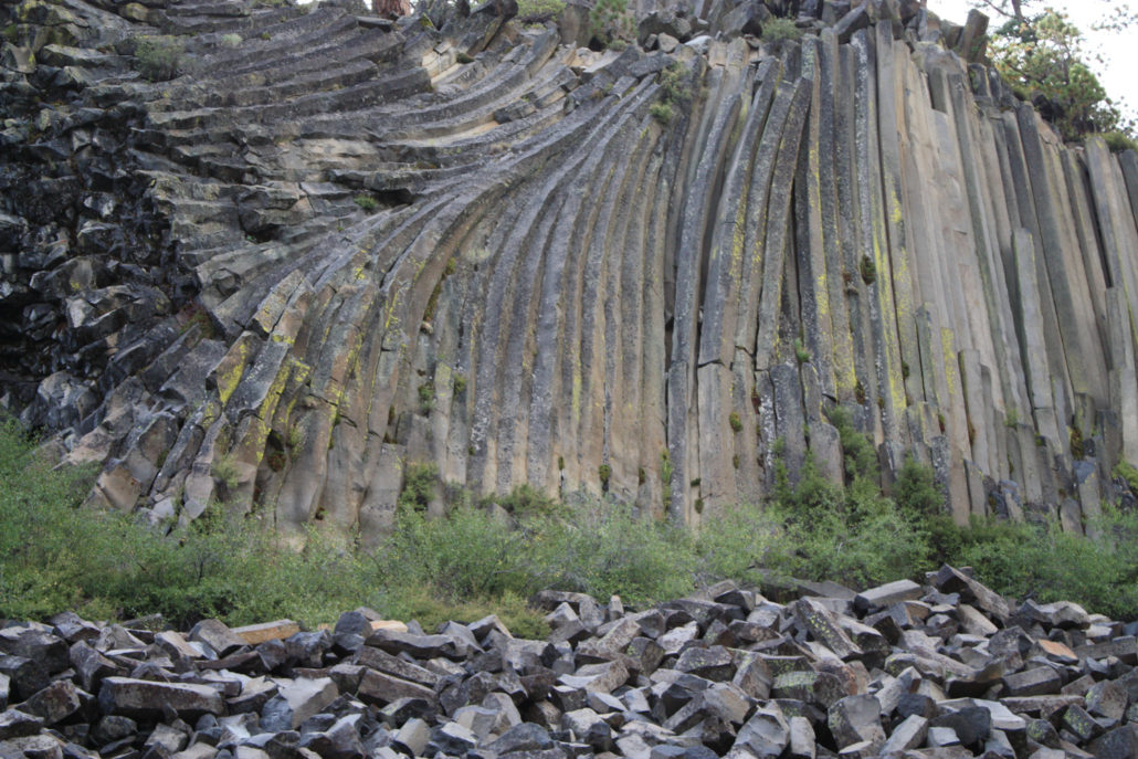
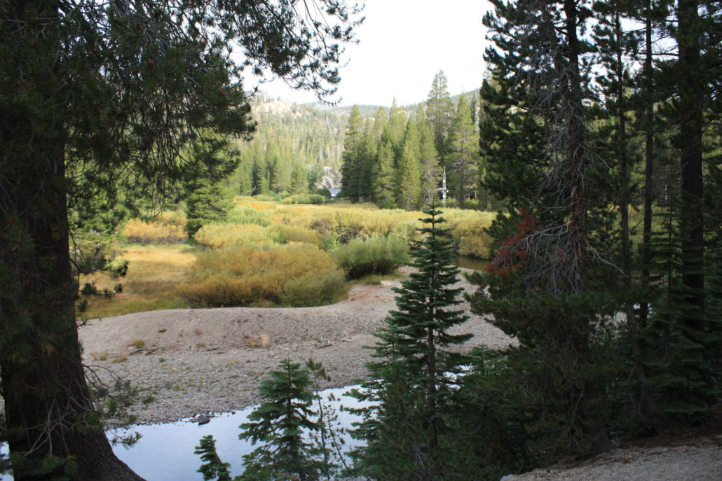
An under 6-mile trail in Devil’s Postpile National Monument. This is spectacular Sierra scenery all around, with the Wild and Scenic San Joaquin River, several waterfalls, and the Postpile itself – an exquisite example of columnar basalt. While the Monument itself is small, it is nestled within the Inyo National Forest, with plenty of opportunities for camping and backpacking on longer trails. *** The Devil’s Postpile gets a ton of snow. As a result, it is usually only open from mid-June to early October. Before you head up north, check with the Rangers by visiting the Monument’s website or calling 760-934-2289. Visitors planning on using the shuttle service should also call that number for rates and schedules. *** Backpackers planning on staying in the Inyo National Forest may need a Wilderness Permit. Call 760-873-2485 for more information. If, on a future trip to Yosemite, you decide to come back down the eastern side of the Sierras, you may want to make a little side trip up to Mammoth Lakes. You already know about the skiing and snowboarding opportunities there, but tucked behind the touristy areas is a tiny National Monument with some pretty spectacular scenery. Once part of Yosemite National Park, the area was split off when gold was discovered nearby, and the namesake basalt formation was almost destroyed to make way for a hydroelectric dam. But in 1911, it was made a National Monument and eventually surrounded by National Forest land. Today, the 798-acre Monument is a great place to hike, either as some short day hikes or as a starting point for longer backpacking trips in the Inyo National Forest. After you ditch your car at the Mammoth Mountain ski area and take the treacherous shuttle ride into the park, you can start your hiking at a number of stops along the way. For this route, take the shuttle to stop 6 – the Ranger Station – and tighten up your boots. The Postpile itself is only 0.4 miles from this spot, so expect some heavy foot traffic on the early part of the trail. Just enjoy the easy and l
Trail Stats
9.4 km
167 m
2380 m
2208 m
—
Photos
Trail photo
No caption provided.
Trail photo
No caption provided.
Trail photo
No caption provided.
Trail photo
No caption provided.
Trail photo
No caption provided.
Trail photo
No caption provided.

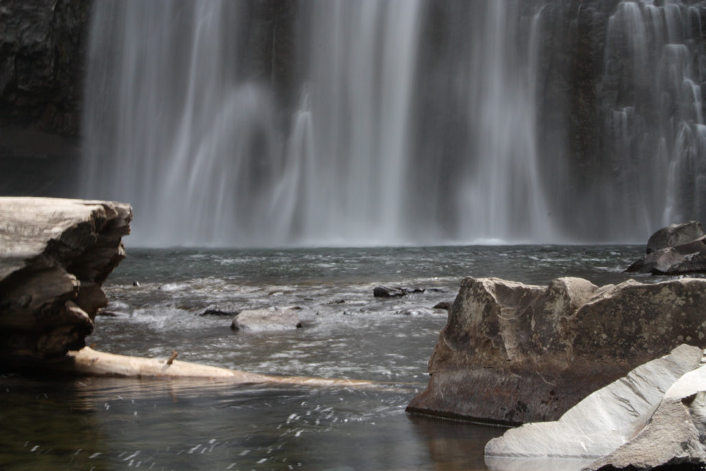
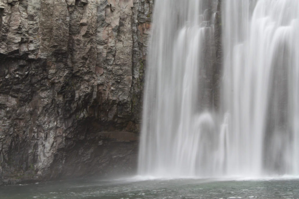
Rainbow Falls in Devil's Postpile National Monument
Rainbow Falls in Devil's Postpile National Monument
Trail photo
No caption provided.
Trail photo
No caption provided.
Trail photo
No caption provided.
Trail photo
No caption provided.
Trail photo
No caption provided.
Trail photo
No caption provided.
Trail photo
No caption provided.
Trail photo
No caption provided.
Trail photo
No caption provided.
Trail photo
No caption provided.
Trail photo
No caption provided.
Trail photo
No caption provided.
Trail photo
No caption provided.
Trail photo
No caption provided.