4 min
Overview
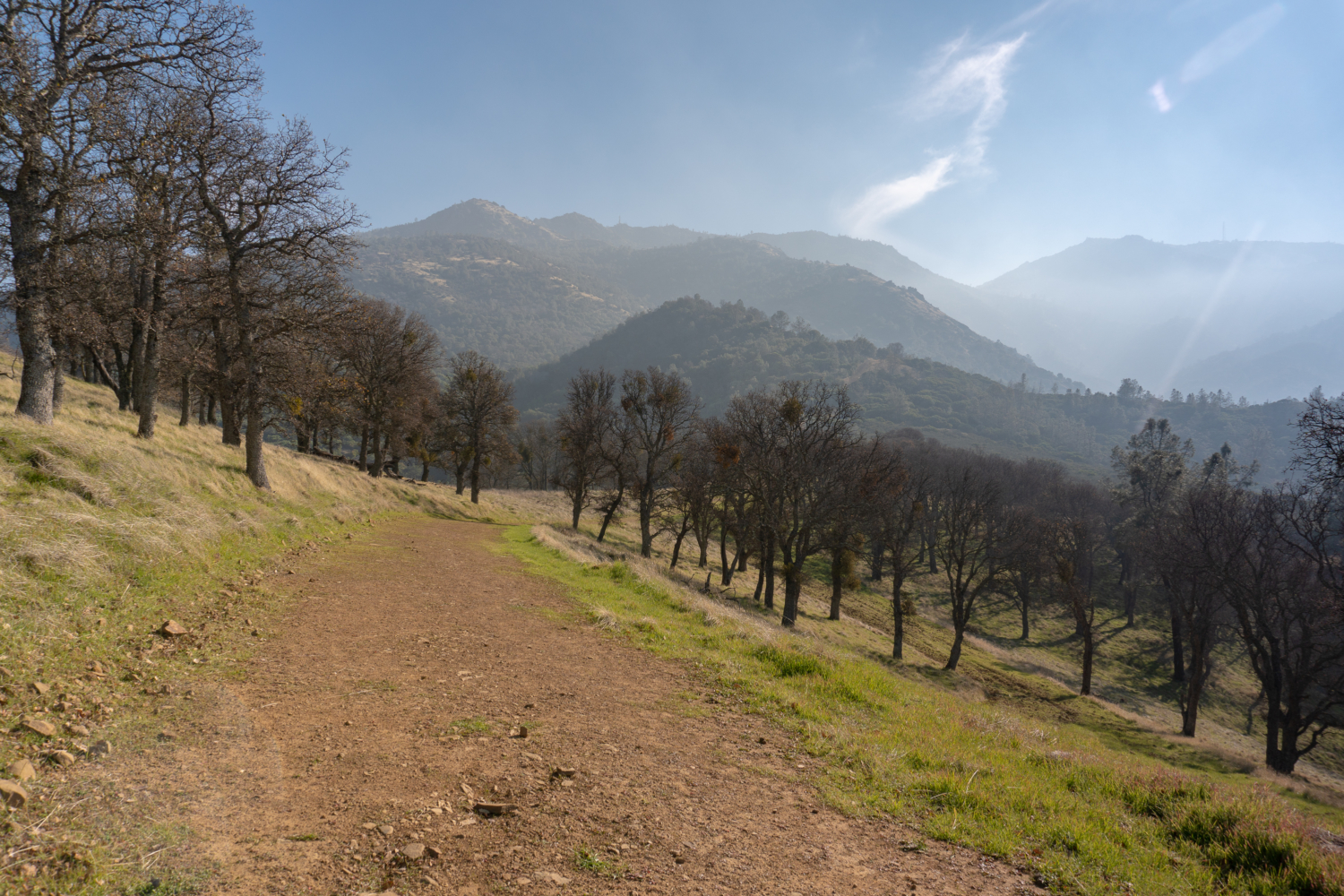
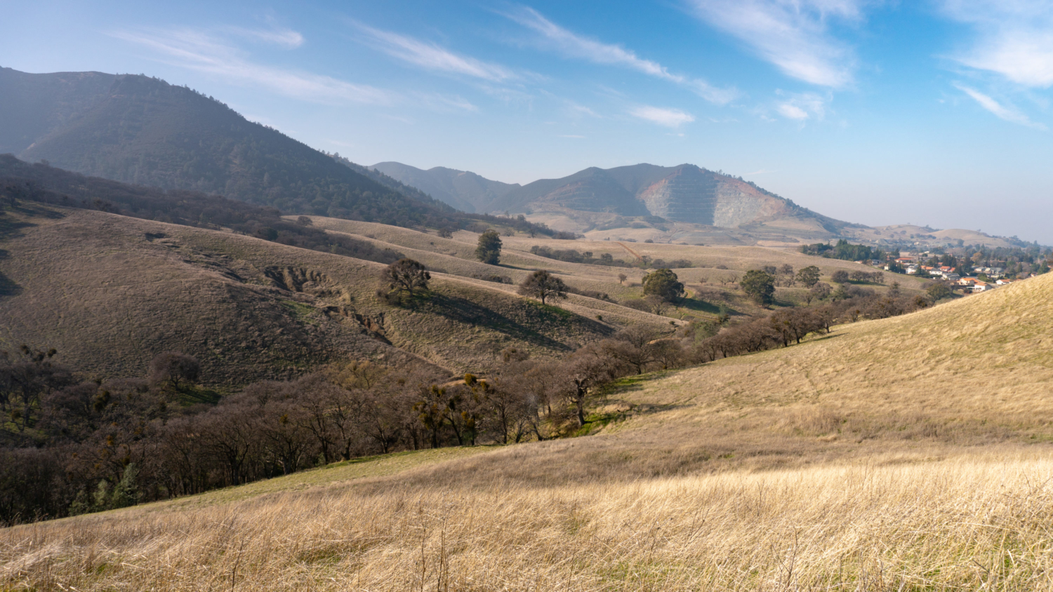
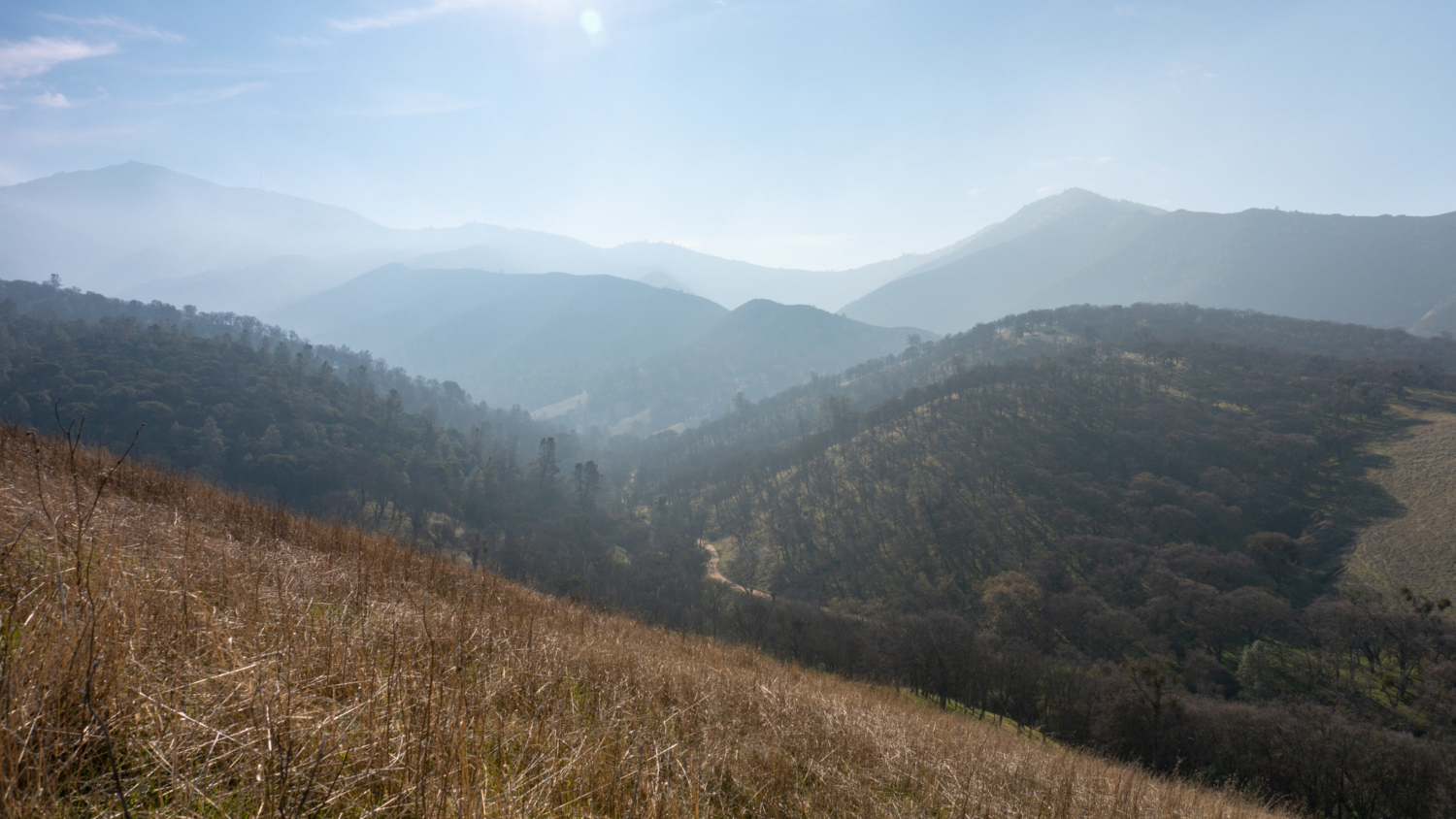
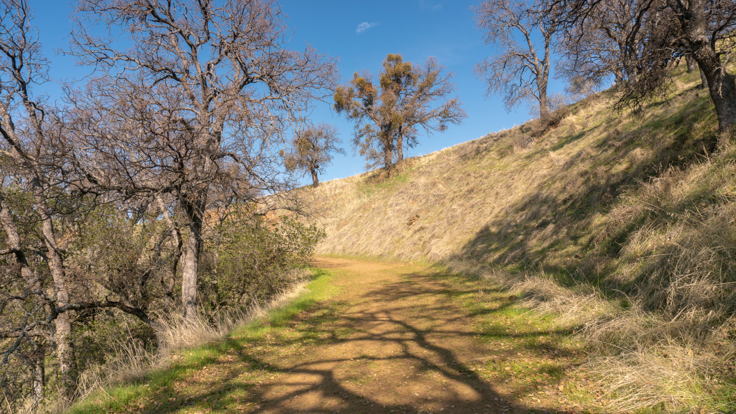
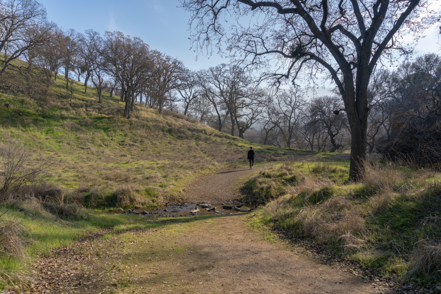
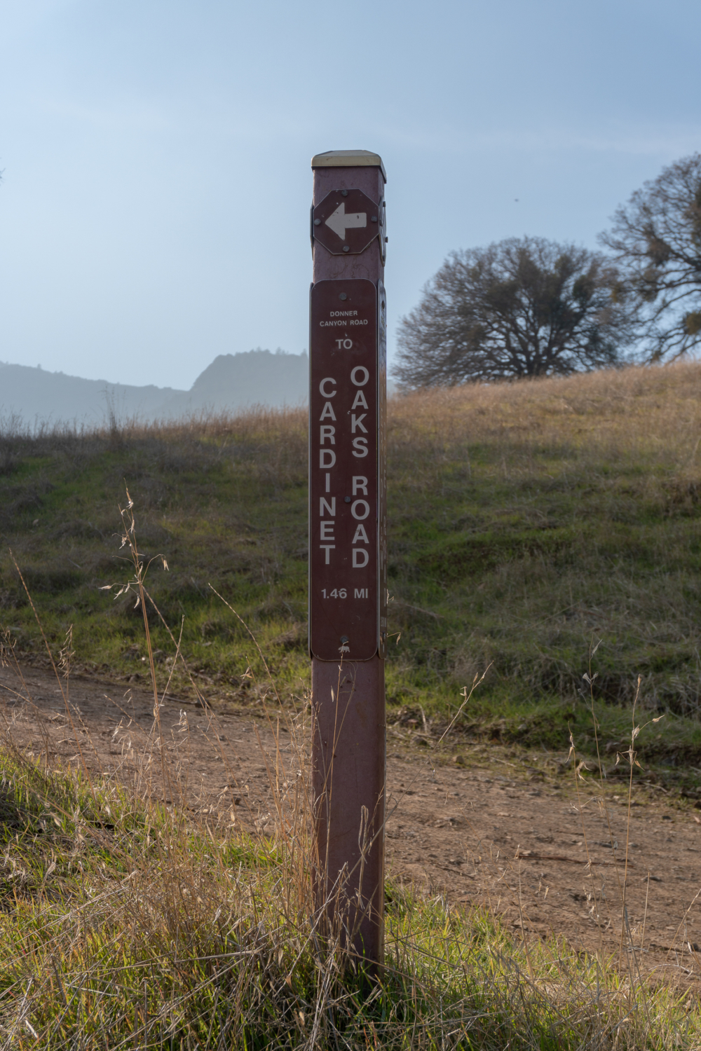
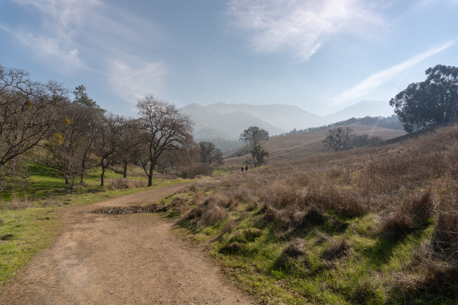
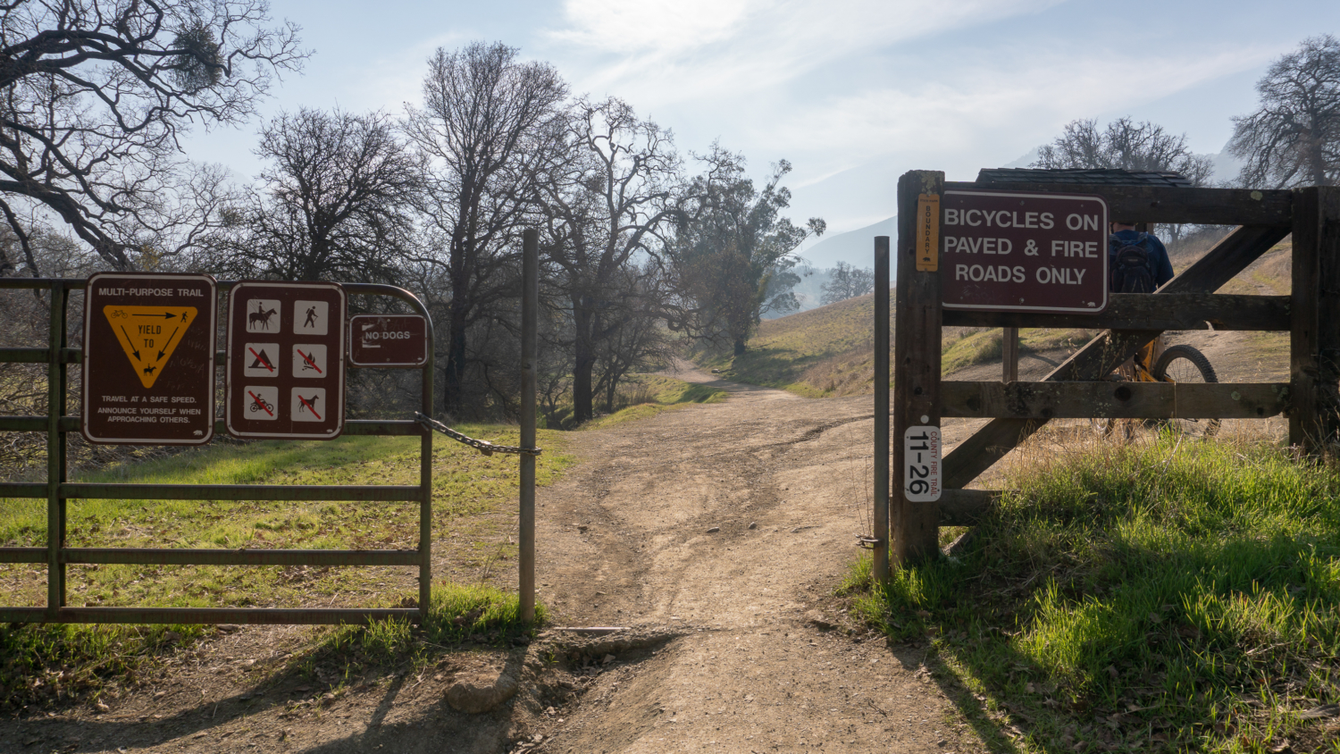
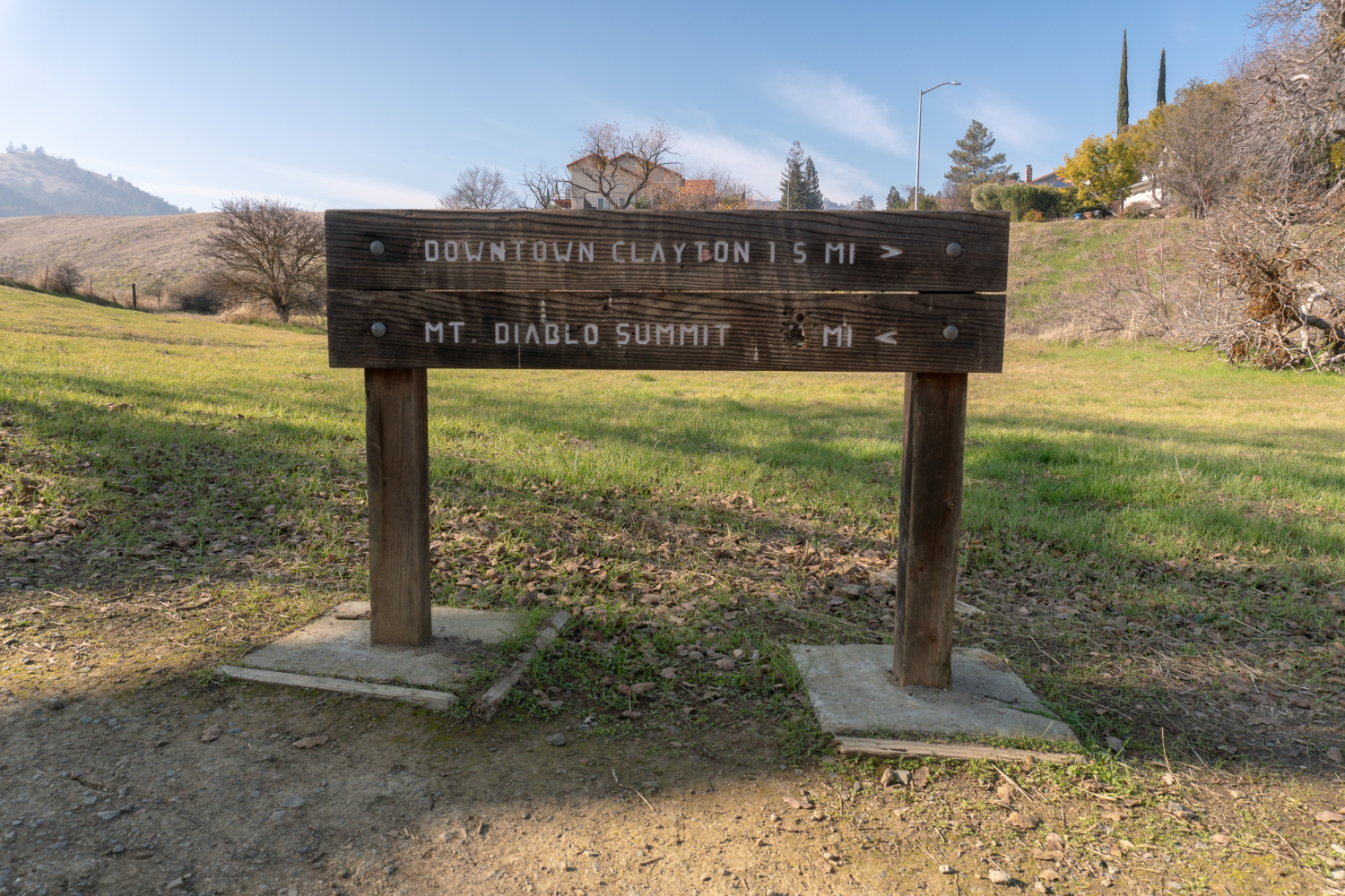
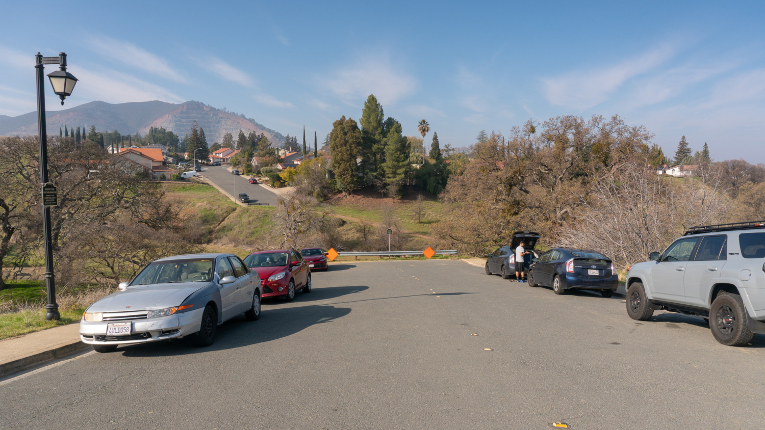
In the summertime, when Mount Diablo’s steep fire roads bake in the sweltering sun, it is hard to imagine multiple waterfalls cascading from springs on the north face of the 3,849-foot peak. But cascade they do during California’s short rainy season, making it a surprising hike through grasslands, oak savannah, chaparral, and even winter wildflowers. The traditional approach to the waterfalls is an out-and-back on Donner Canyon Road. This route detours to Clayton Oaks Road at the beginning for an extra punch of mountain and valley views on the way to the falls. Note: As of January 2019, the trash, noise, and street parking issues from hikers on Regency Drive has led to the possibility of limiting access to the Regency Gate trailhead. If you do start from the Regency Gate trailhead, please pack out all your trash, keep driveways clear, and keep your voice at a respectful level. Alternative access to this hike is also possible via the Mitchell Canyon entrance: Take Oak Road east to Murchio Road east for 1.2 miles to Donner Canyon Road. Turn right to join the loop. From the barrier at the end of Regency Road, head down the hillside to the Mount Diablo State Park entrance on your left. Although there are no facilities here, there is a kiosk with a topo map and information about the Falls Trail on the other side. Past the gate and kiosk, hike south on Donner Canyon Road, a flat and sunny dirt fire road that is also open to mountain bikers. Donner Canyon Road parallels Donner Creek, with pretty views of the creek and sprouting green grass after winter rains. Grasslands and oak savannah—grassy areas punctuated with deciduous and evergreen oaks—surround the valley floor, with the major peaks of Mount Diablo rising above the canyon floor: Mount Olympia, North Peak, Mount Diablo, Eagle Peak, and Twin Peaks. Bear left at first two junctions to stay on Donner Canyon Road towards Cardinet Oaks Road. Hiking in the wintertime and early spring is a wonderful break from hiking in late spring and early summer in Mount Diablo S
Trail Stats
9.7 km
457 m
532 m
160 m
—
Photos
Trail photo
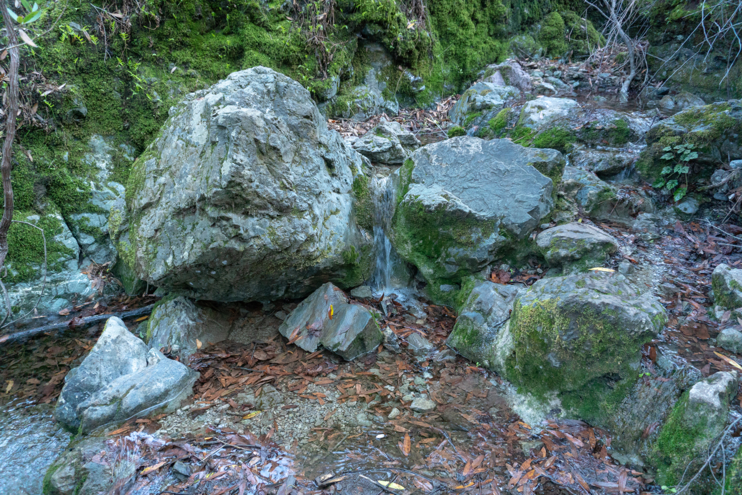
No caption provided.
Trail photo
No caption provided.
Trail photo
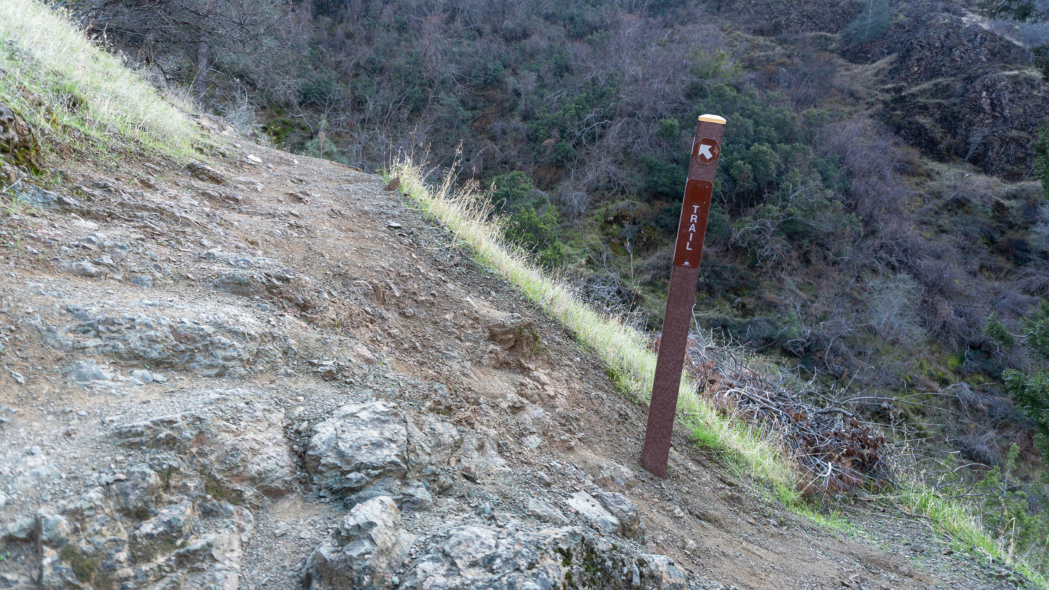
No caption provided.
Trail photo
No caption provided.
Trail photo
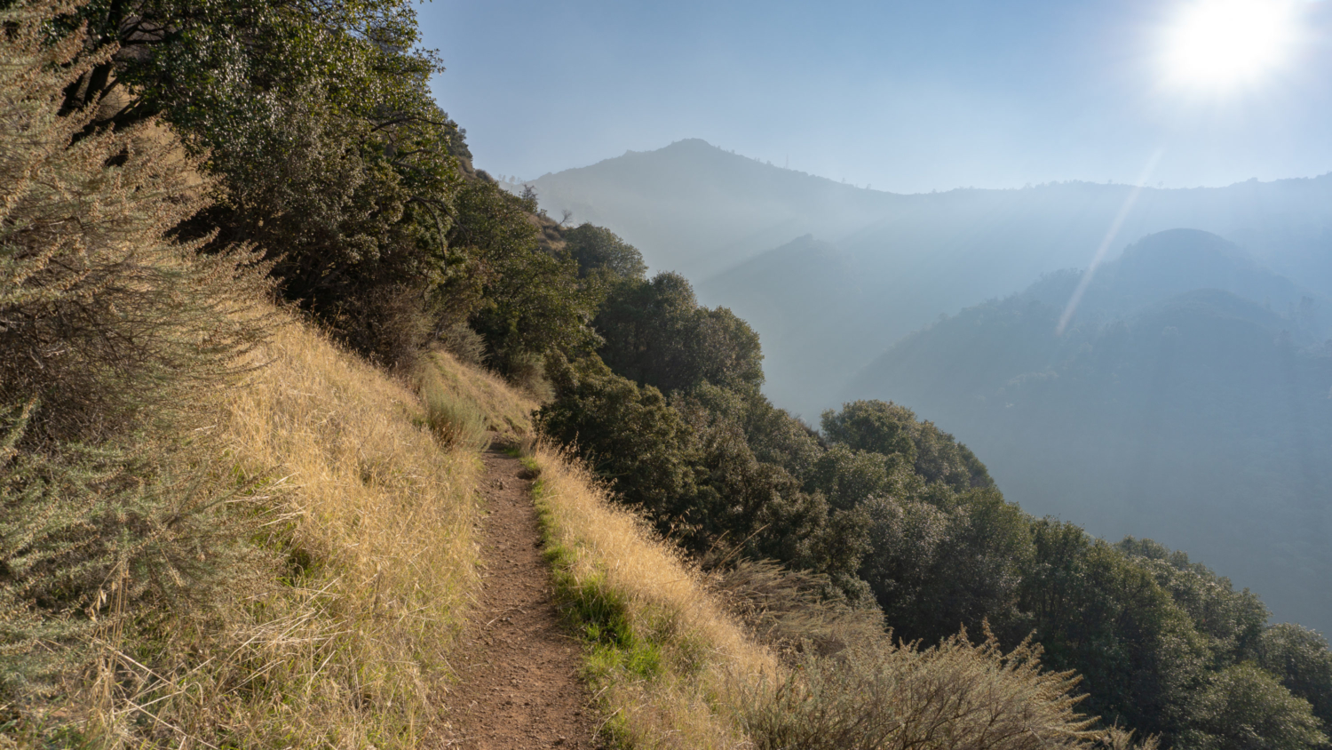
No caption provided.
Trail photo
No caption provided.
Trail photo
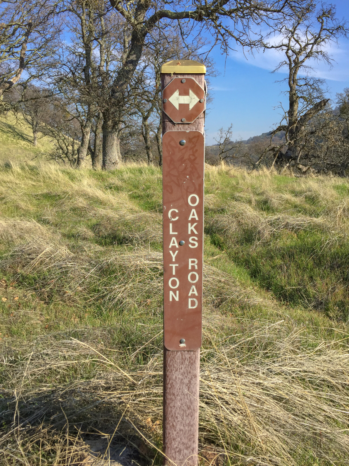
No caption provided.
Trail photo
No caption provided.
Trail photo
No caption provided.
Trail photo
No caption provided.
Trail photo
No caption provided.
Trail photo
No caption provided.
Trail photo
No caption provided.
Trail photo
No caption provided.