4 min
Overview
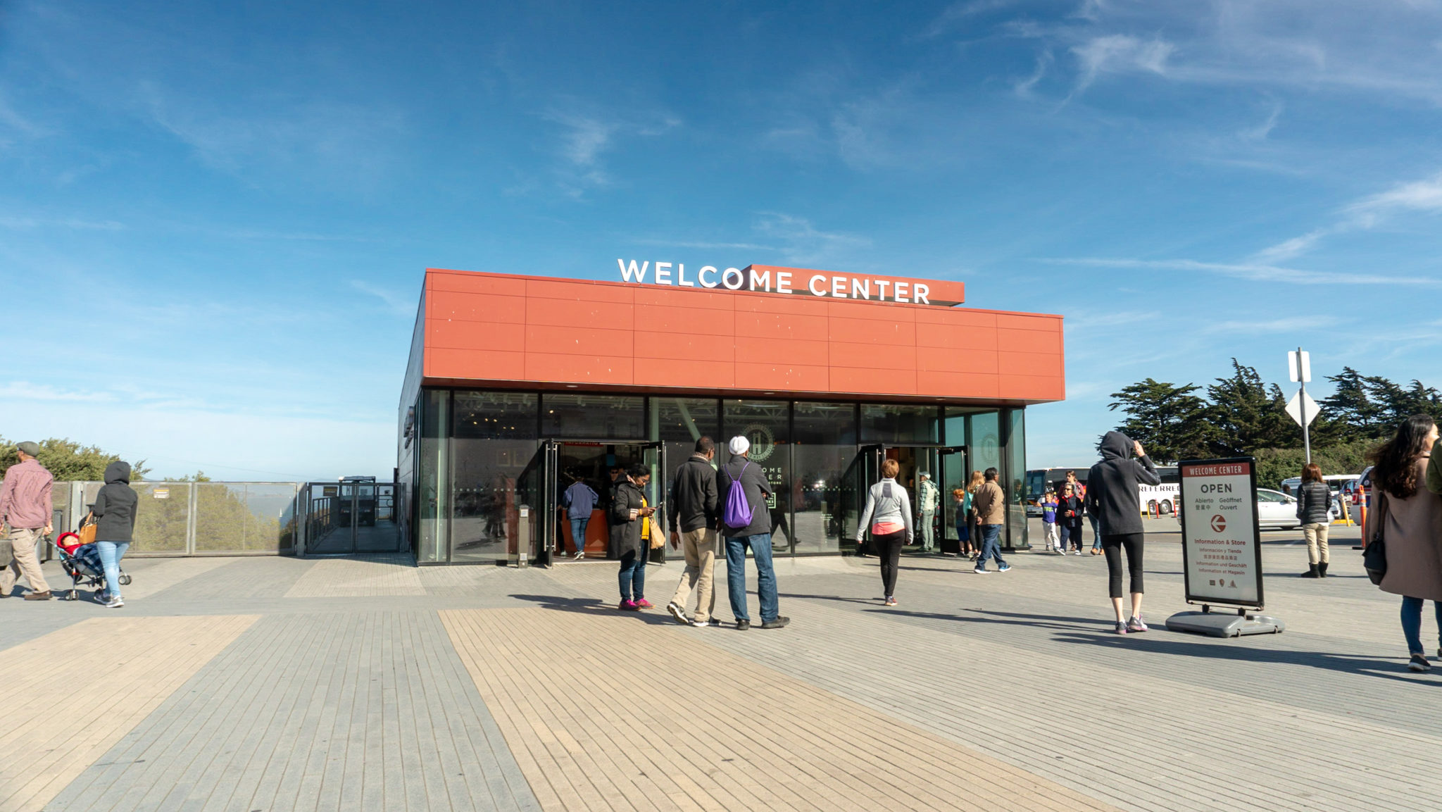
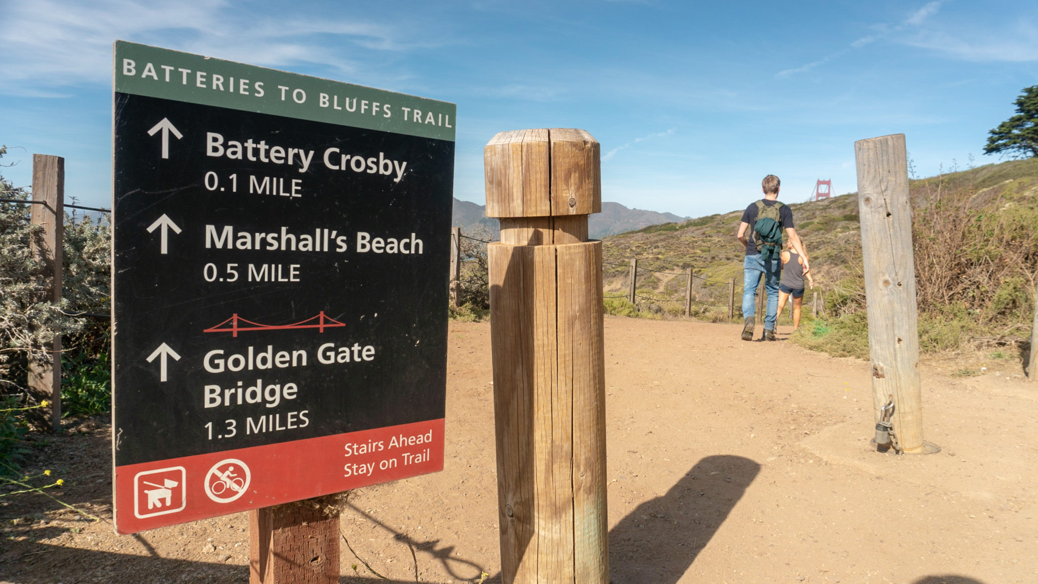
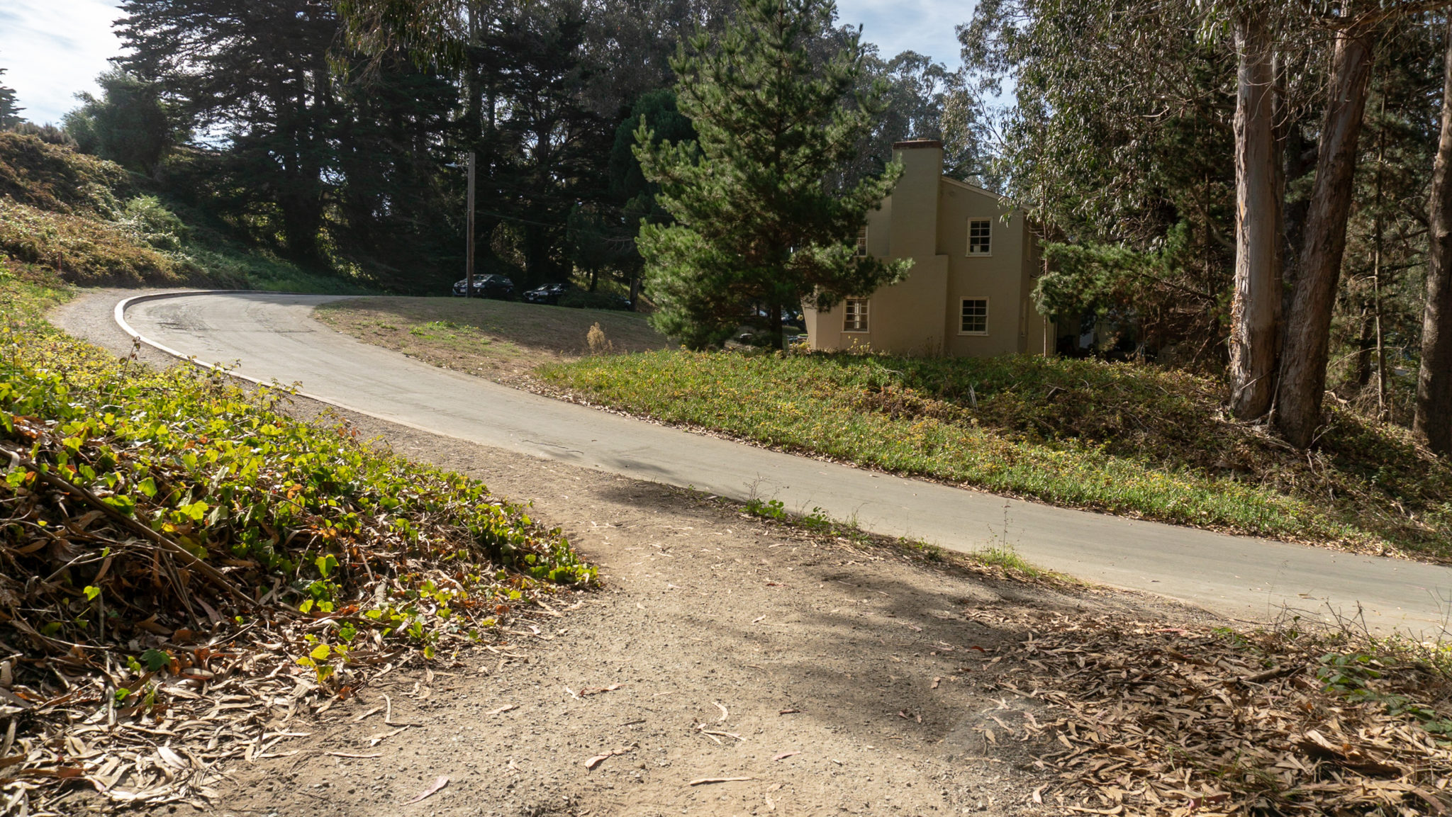
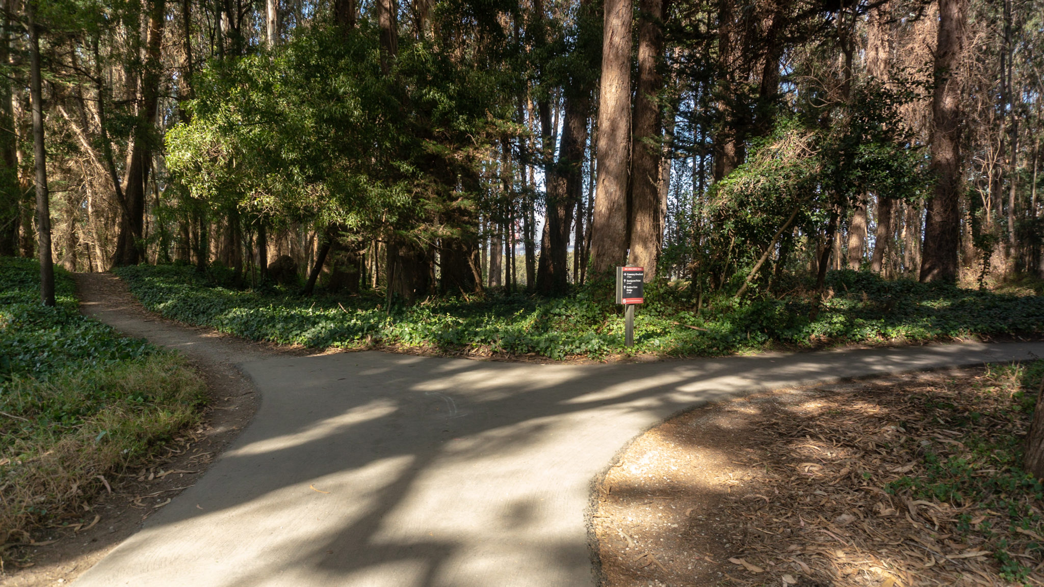
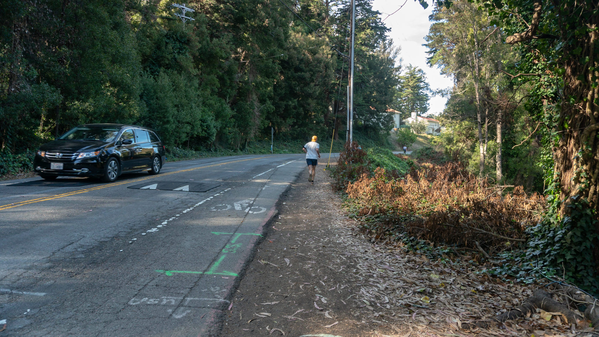
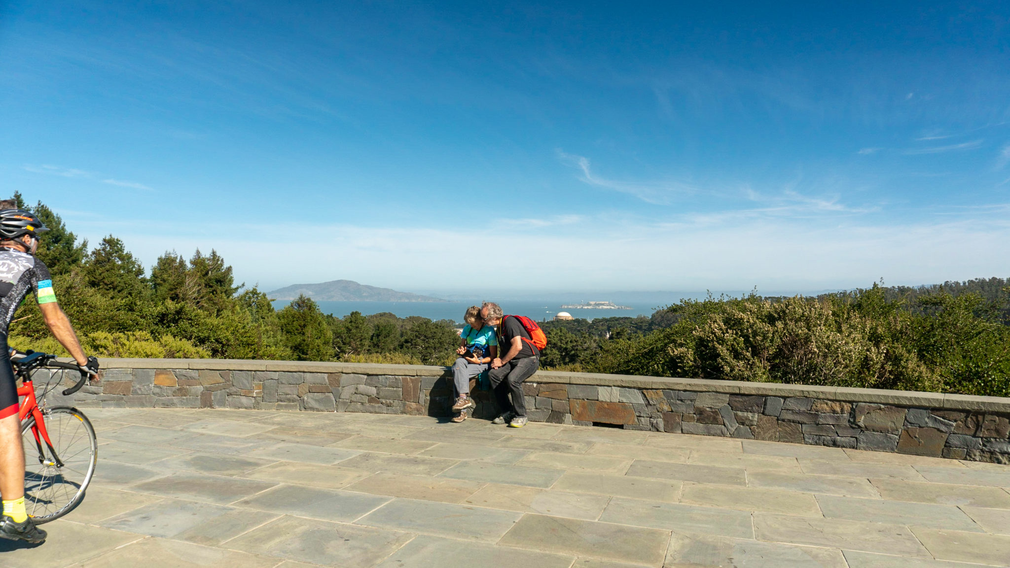
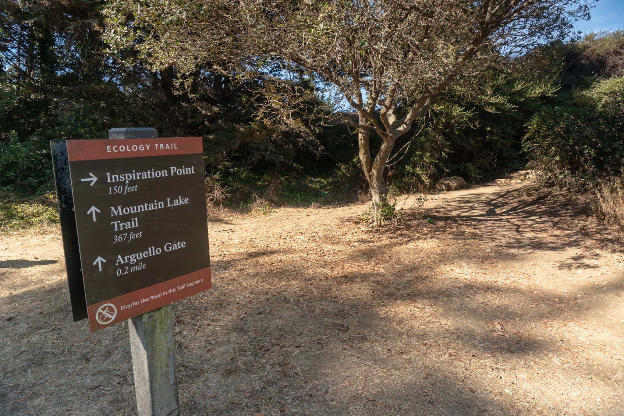
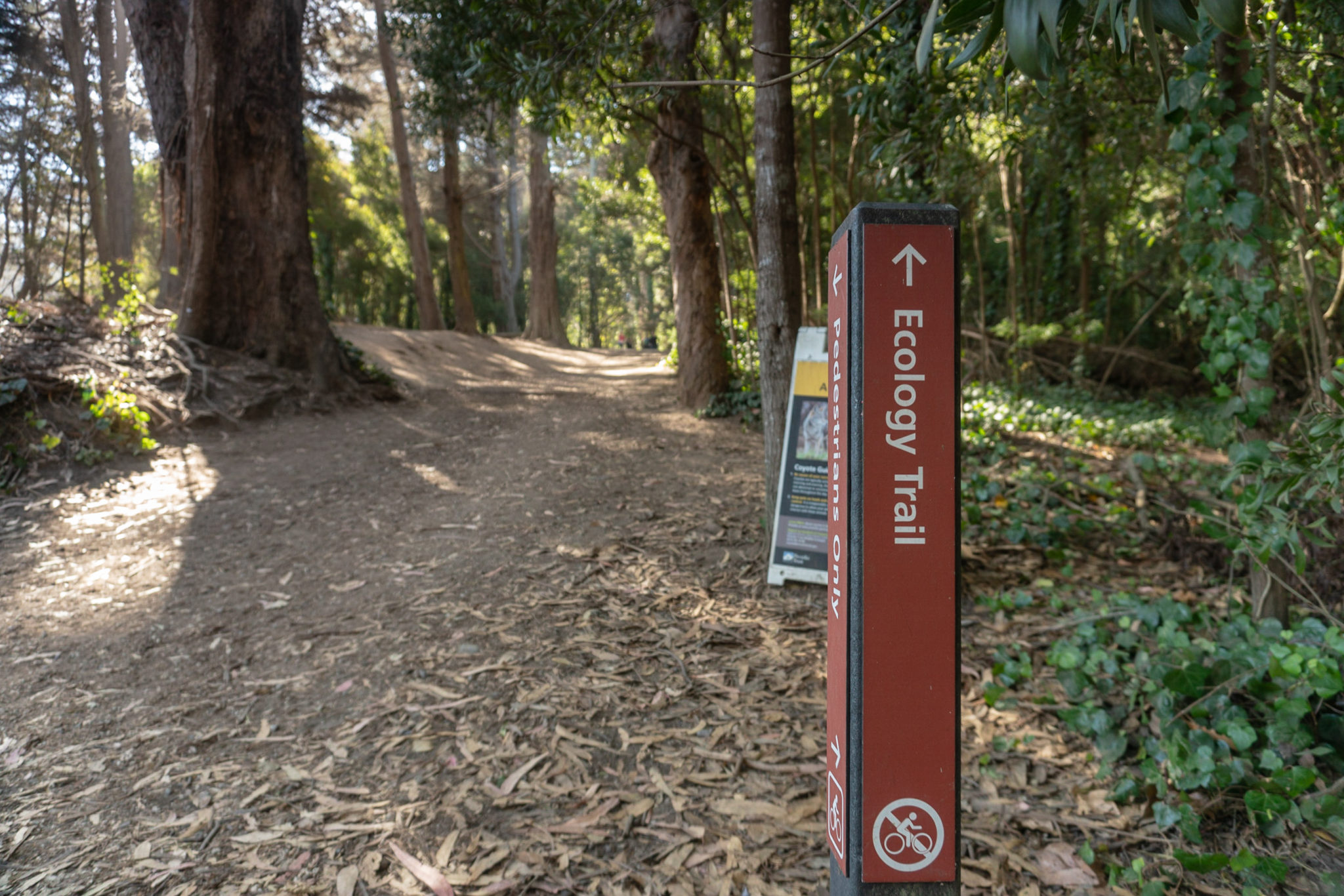
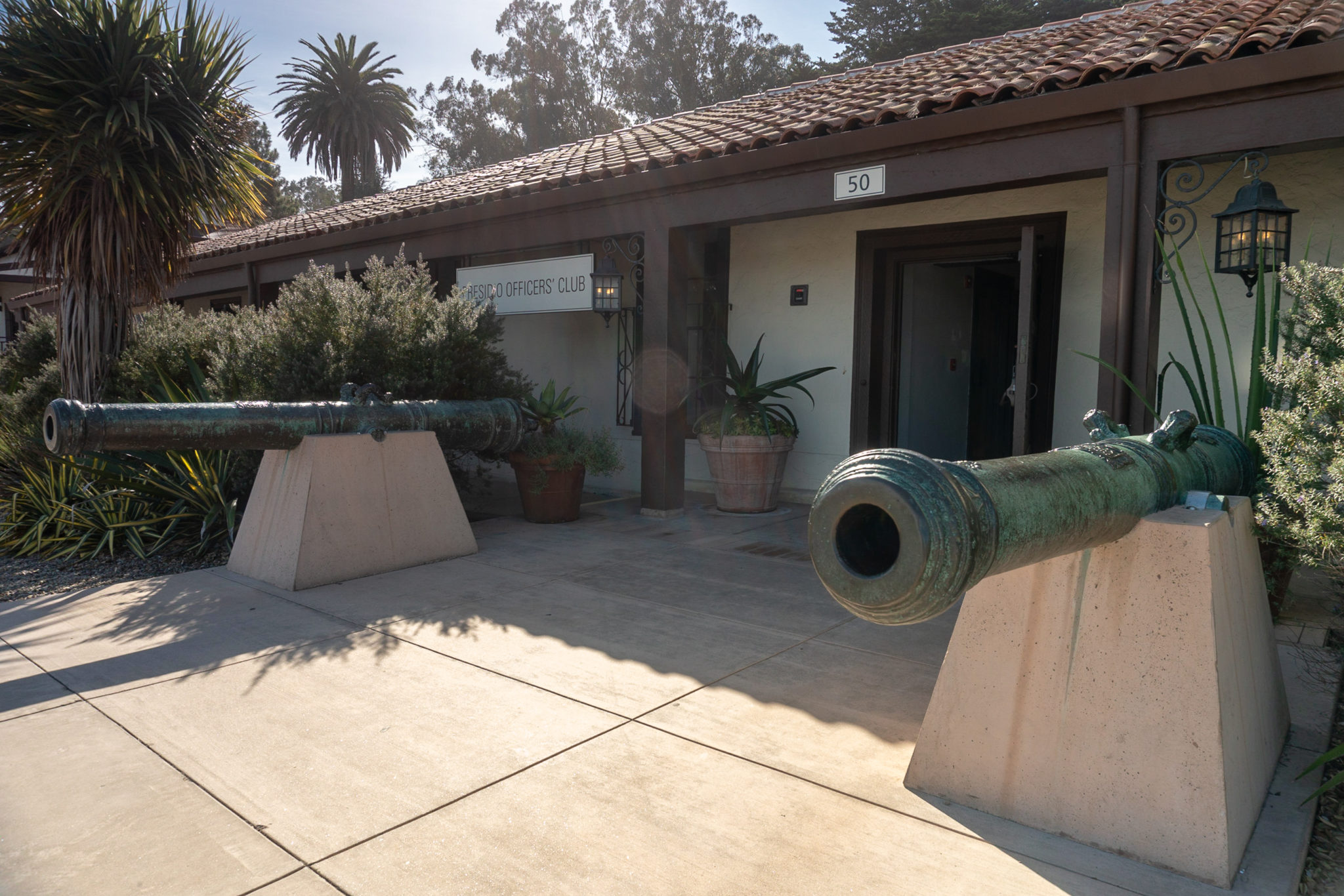
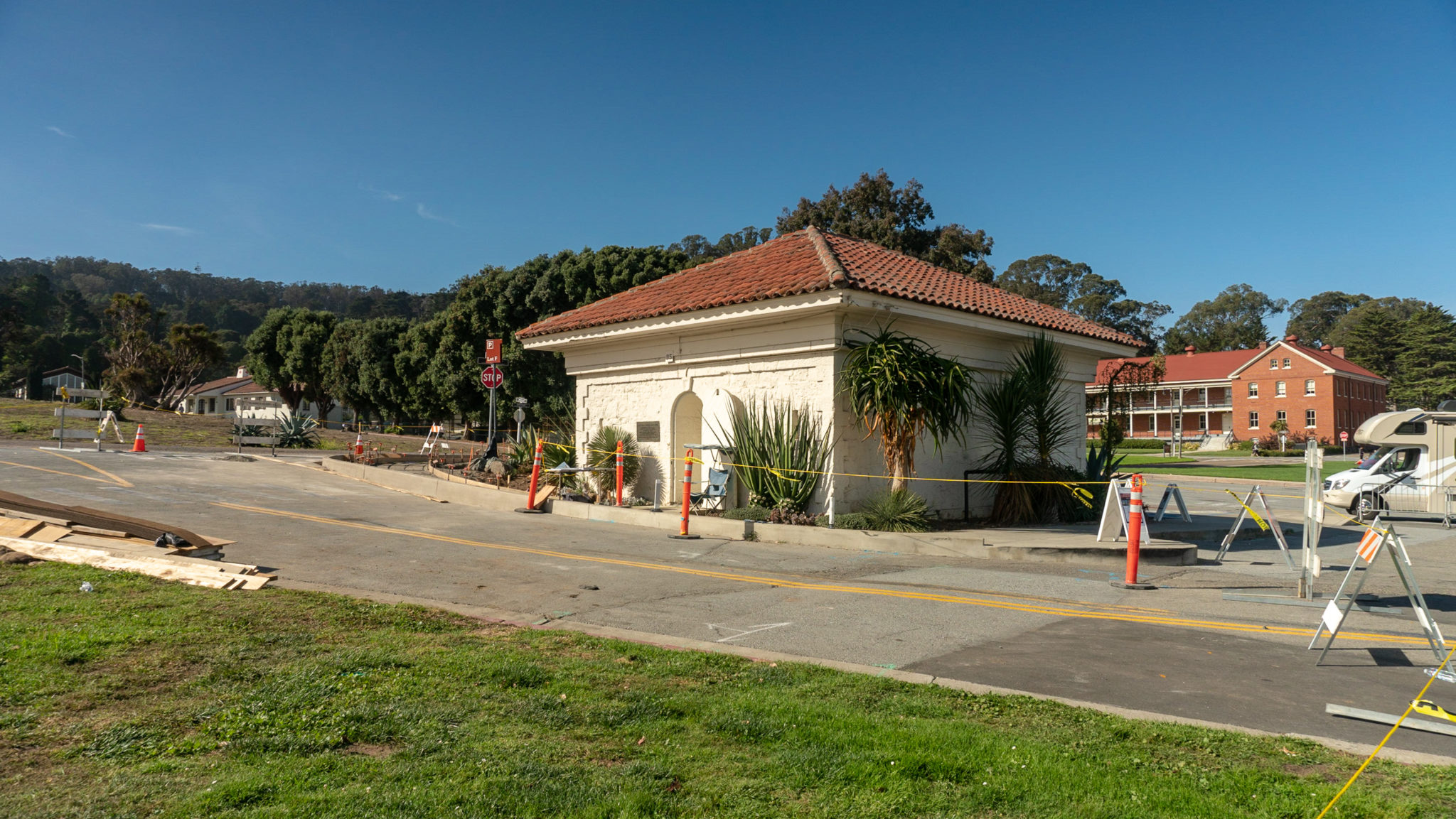
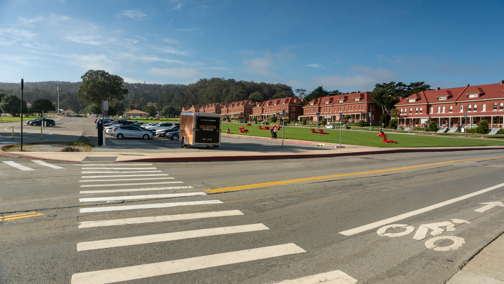
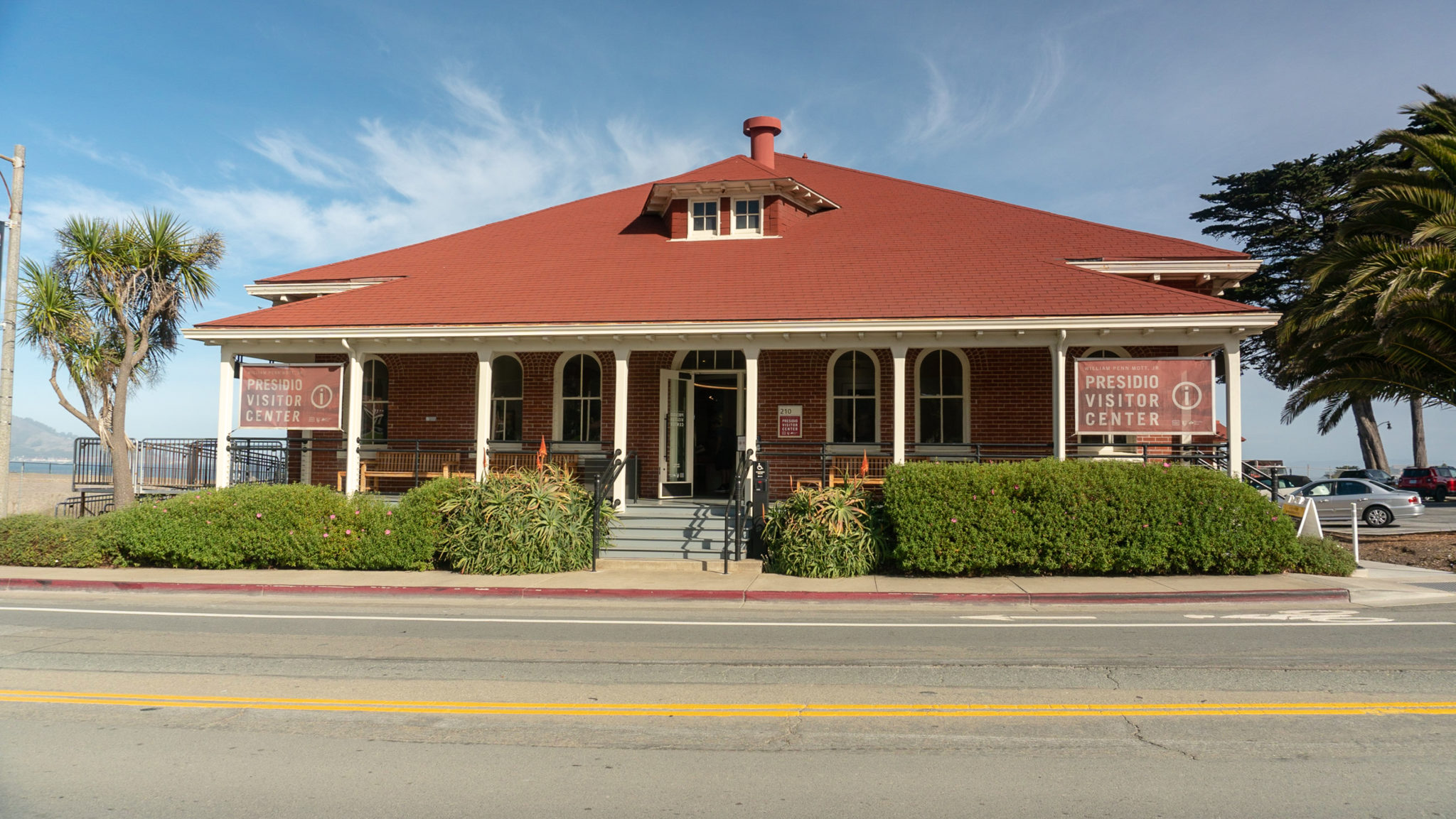
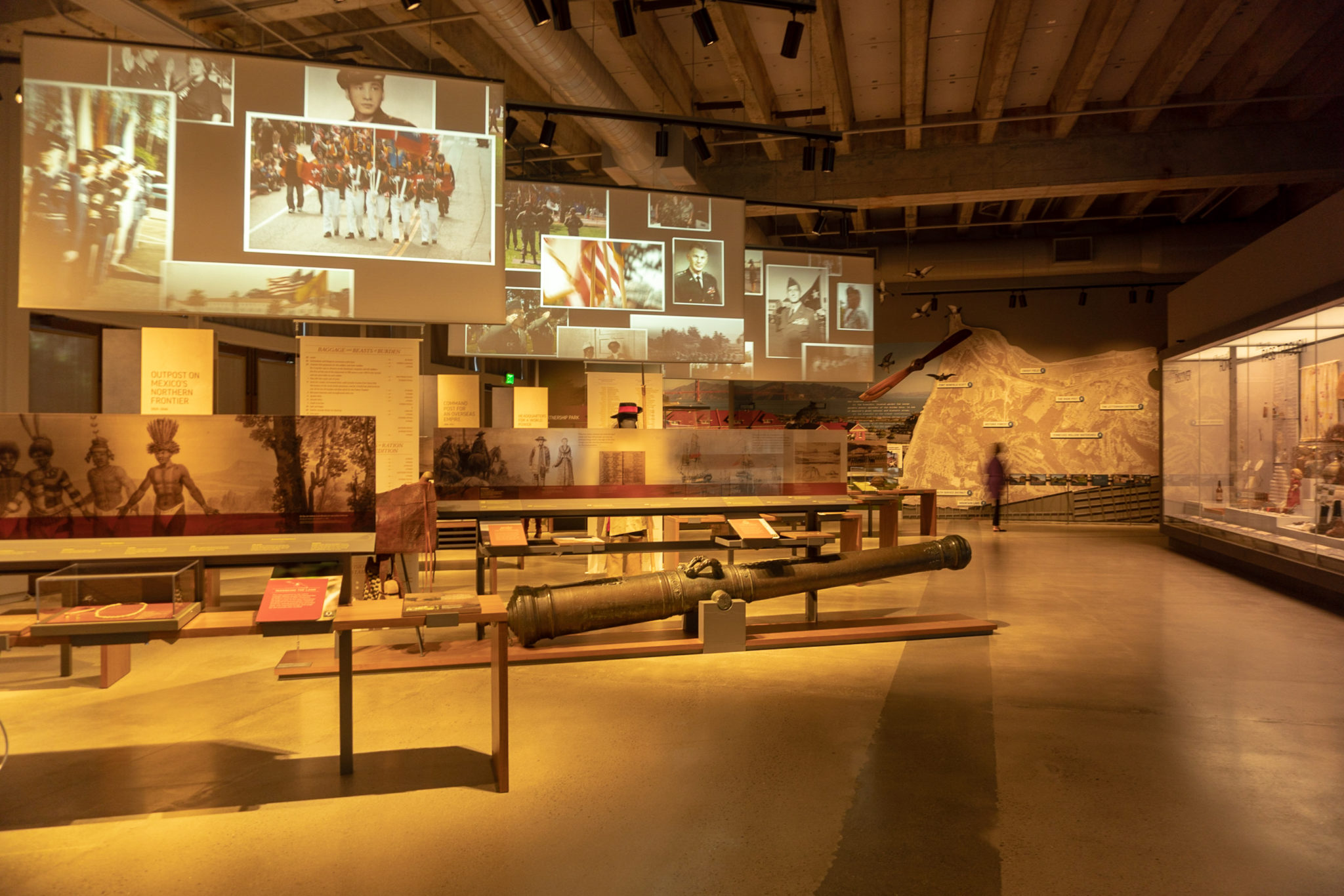
The Presidio Loop is an urban hike through the Presidio, a national park in San Francisco, just south of the Golden Gate Bridge. The Presidio is a former U.S. military base that has undergone a phenomenal “post to park” transformation since 1994. You can rest for hours with a picnic on the fabulous Main Parade Ground, hike through the 24-mile trail system to coastal batteries and the Golden Gate Bridge, or pick up a coffee and a bite to eat at the Presidio’s Main Post, the heart and cultural center of the park. This 5.8-mile hike will take you through highlights of the Presidio, including the Presidio Officer’s Club, art sculptures by Andy Goldsworthy, 5 scenic overlooks, coastal batteries, the Golden Gate Bridge Plaza, the Korean War Memorial, and the Walt Disney Family Museum. Although there are clear trail signs, I recommend downloading or picking up a trail map from the Presidio Visitor Center. There are many junctions and it is easy to get turned around. Once the home of the Ohlone people, Spanish explorers arrived and established a fort or “presidio” here in 1776. The fort changed hands to Mexico in 1822, then the United States in 1846, growing into a major U.S. Army base at the turn of the 20th century. Congress and President Nixon established The Golden Gate National Recreation Area in 1972, and it was decided that if the military ever left the Presidio, it would join the GGNRA. Eventually, that is exactly what happened. In 1989, the Presidio was considered surplus and slated for closure as part of the Base Realignment and Closure Act. In October 1994, the U.S. Army officially transferred the Presidio to the National Park Service: It joined the Golden Gate National Recreation Area and became a national park. What is so unique and special about the Presidio is that it is home to 200 public, private, and non-profit organizations: schools, museums, hotels—the Lucasfilm headquarters with its iconic Yoda statue—along with 3,000 residents. Revenue from leasing building space, homes, apartments, and event venu
Trail Stats
9.3 km
182 m
109 m
9 m
—
Photos

Trail photo
No caption provided.

Trail photo
No caption provided.

Trail photo
No caption provided.

Trail photo
No caption provided.
Trail photo
No caption provided.

Trail photo
No caption provided.
Trail photo
No caption provided.

Trail photo
No caption provided.
Trail photo
No caption provided.

Trail photo
No caption provided.

Trail photo
No caption provided.
Trail photo
No caption provided.
Trail photo
No caption provided.

Trail photo
No caption provided.
Trail photo
No caption provided.

Trail photo
No caption provided.

Trail photo
No caption provided.

Trail photo
No caption provided.

Trail photo
No caption provided.

Trail photo
No caption provided.

Trail photo
No caption provided.

Trail photo
No caption provided.

Trail photo
No caption provided.
Trail photo
No caption provided.
Trail photo
No caption provided.

Trail photo
No caption provided.

Trail photo
No caption provided.

Trail photo
No caption provided.

Trail photo
No caption provided.

Trail photo
No caption provided.

Trail photo
No caption provided.

Trail photo
No caption provided.

Trail photo
No caption provided.

Trail photo
No caption provided.

Trail photo
No caption provided.

Trail photo
No caption provided.
Trail photo
No caption provided.

Trail photo
No caption provided.

Trail photo
No caption provided.

Trail photo
No caption provided.
Trail photo
No caption provided.

Trail photo
No caption provided.
Trail photo
No caption provided.

Trail photo
No caption provided.

Trail photo
No caption provided.

Trail photo
No caption provided.

Trail photo
No caption provided.

Trail photo
No caption provided.

Trail photo
No caption provided.

Trail photo
No caption provided.
Trail photo
No caption provided.
Trail photo
No caption provided.
Trail photo
No caption provided.

Trail photo
No caption provided.

Trail photo
No caption provided.

Trail photo
No caption provided.
Trail photo
No caption provided.

Trail photo
No caption provided.
Trail photo
No caption provided.
Trail photo
No caption provided.
Trail photo
No caption provided.
Trail photo
No caption provided.