2 min
Overview
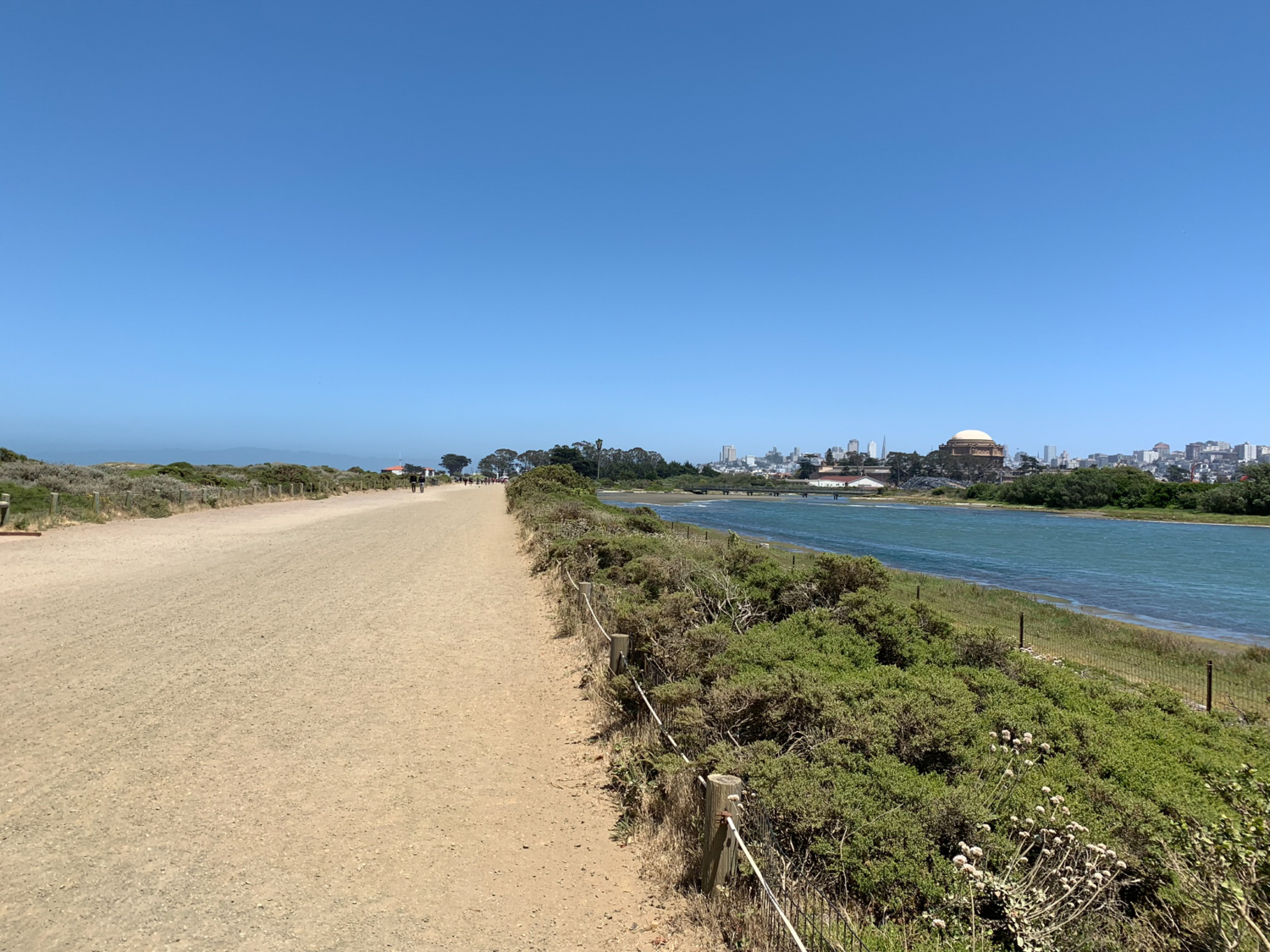
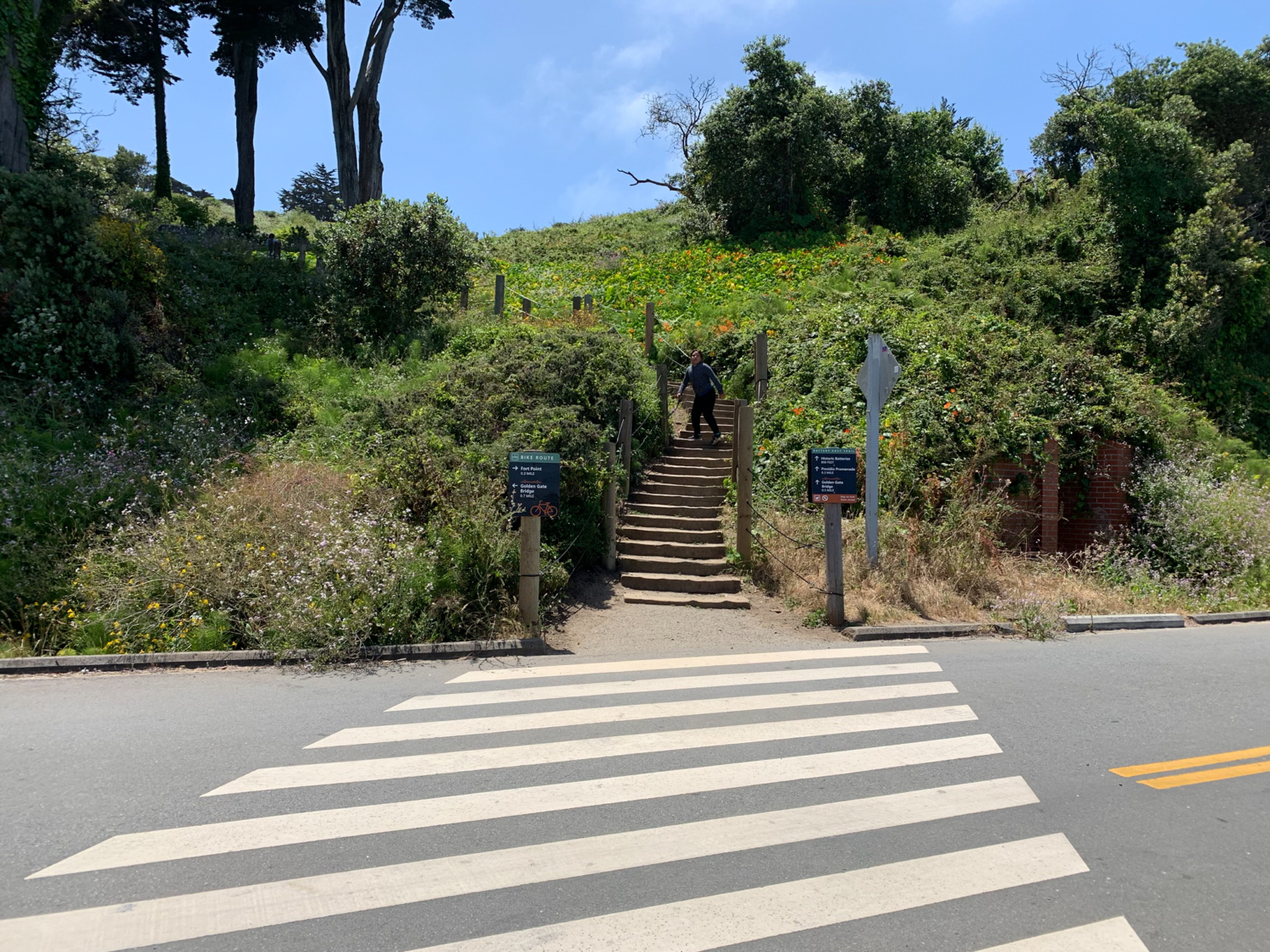
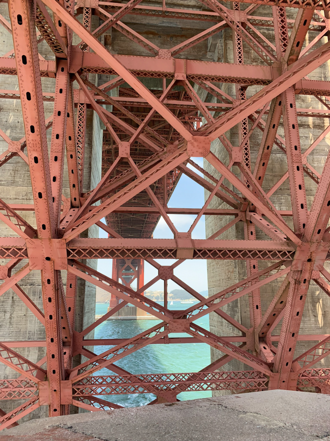
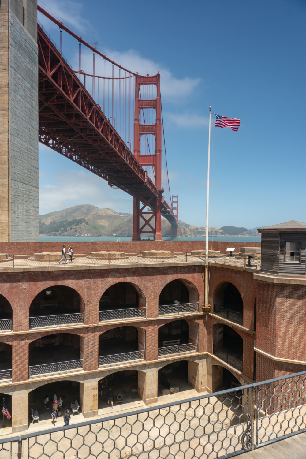
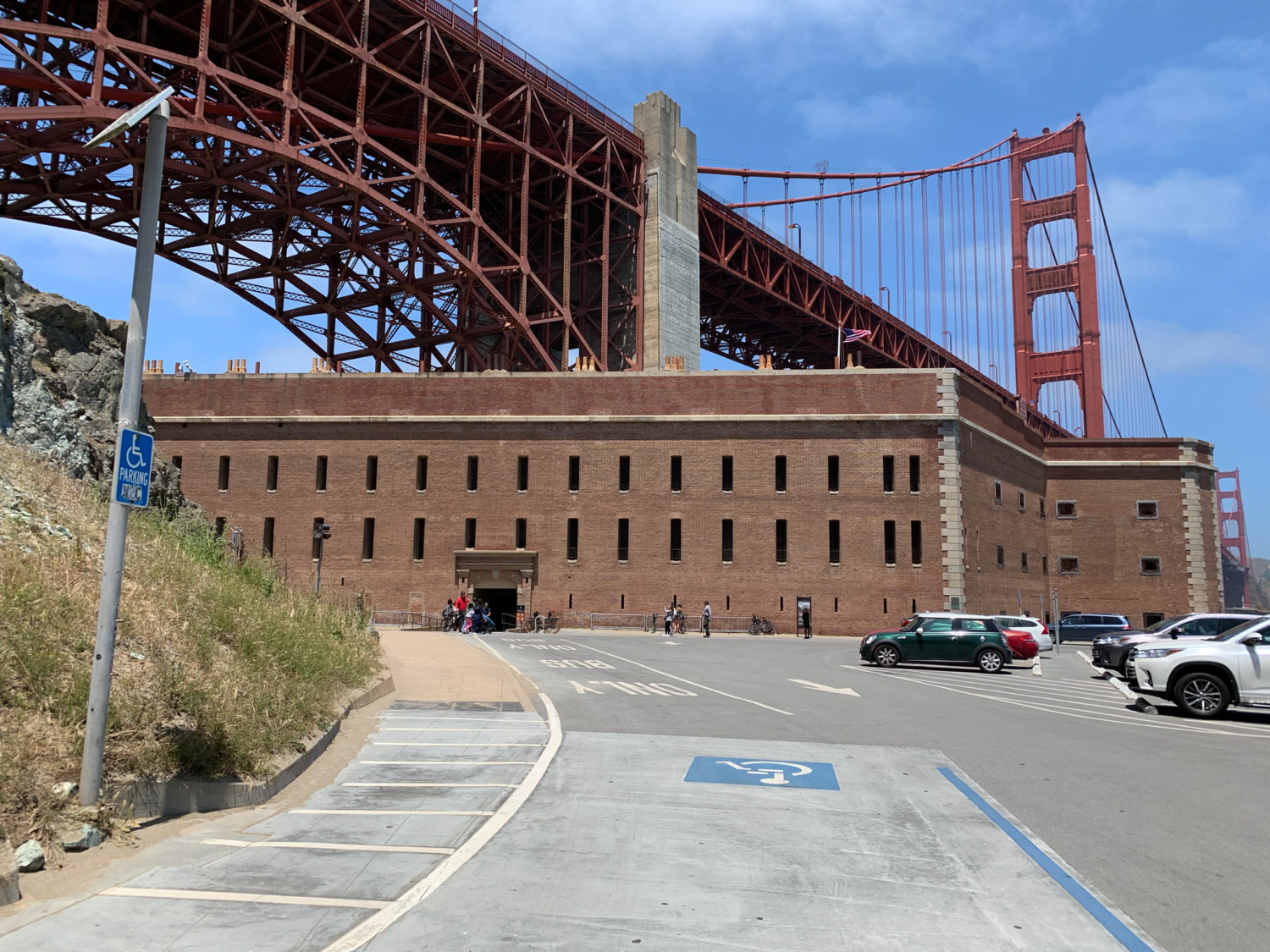
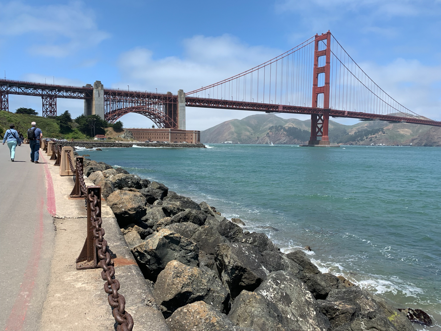
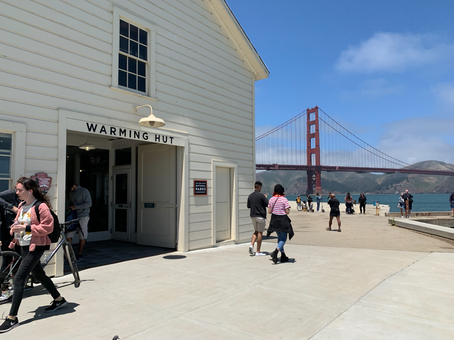
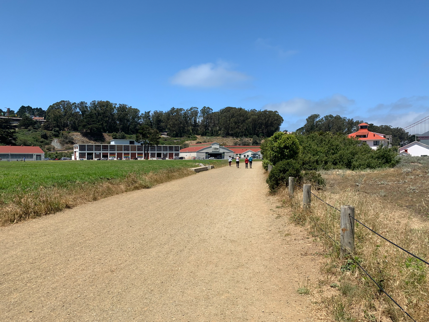
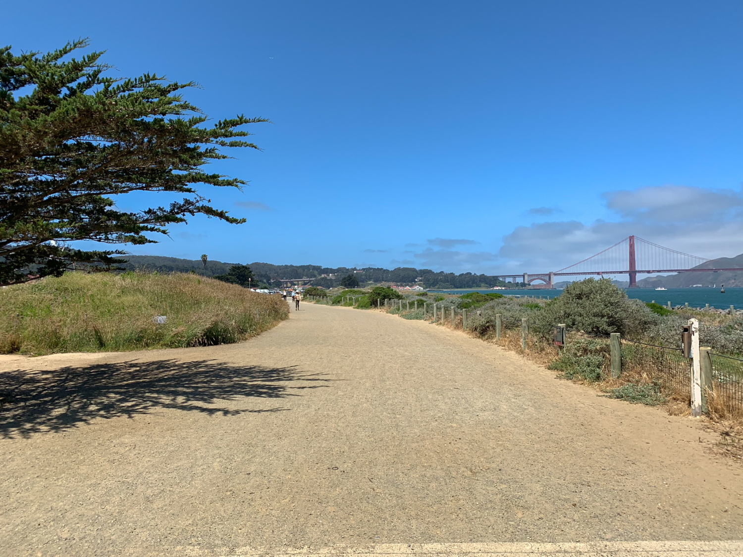
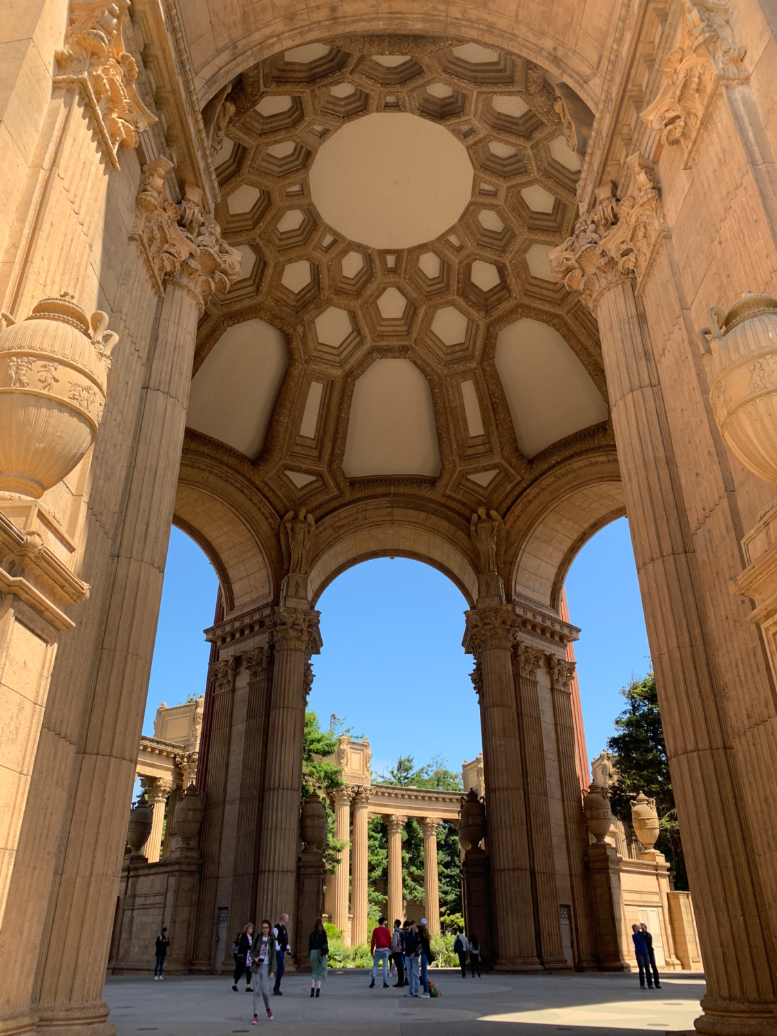
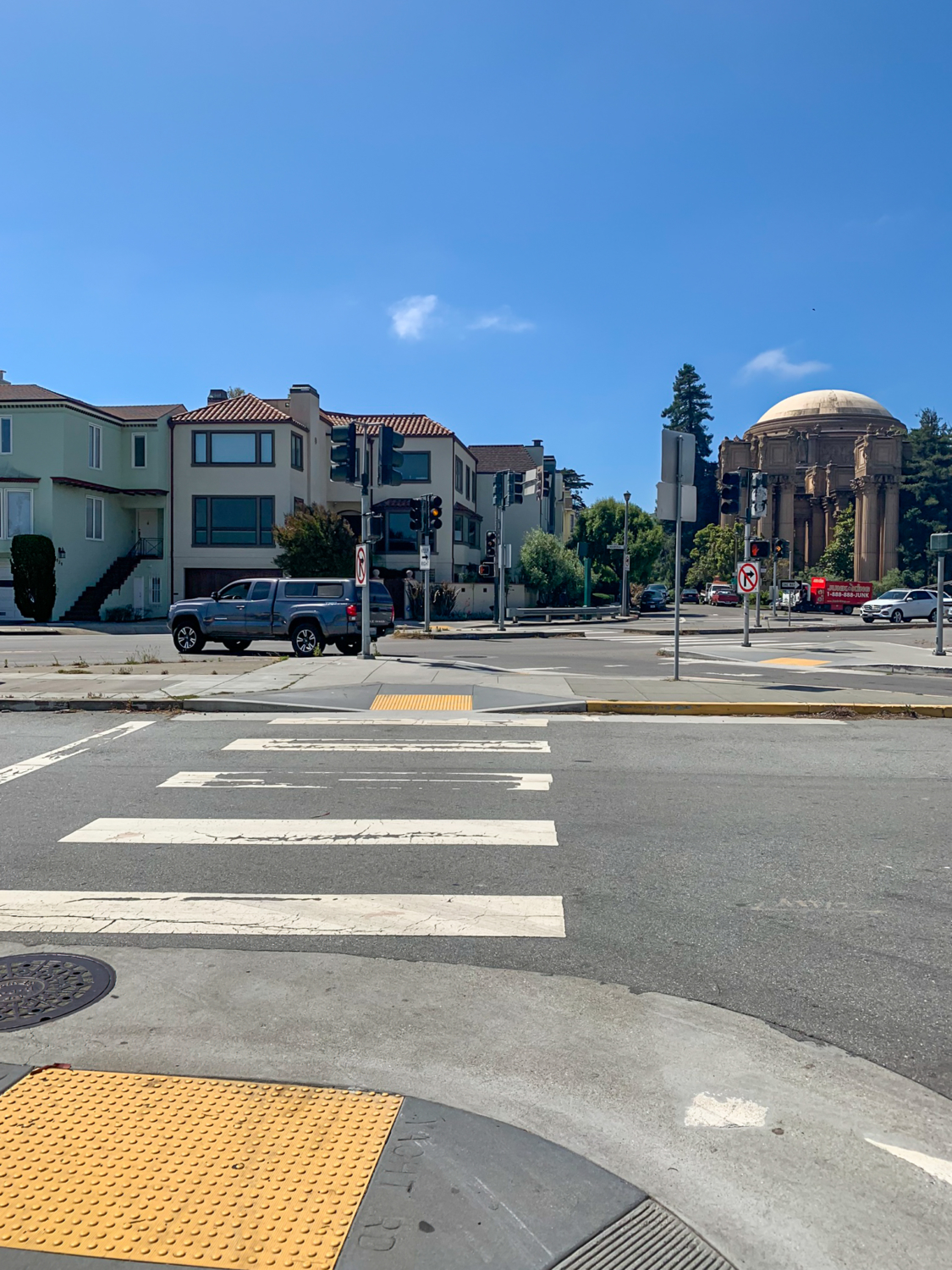
The East Beach to Fort Point hike checks off so many boxes it would be nearly impossible to design a more beautiful urban hike in San Francisco. Nose-to-tail views of the Golden Gate Bridge? Check. A historic, Civil War era fort? Check. Beach access? Check. A short walk to the Palace of Fine Arts? Check. In short, the Golden Gate Bridge views, bay views, kite surfers, beaches, Warming Hut, and the chance to go inside Fort Point, a national historic site, make this an insanely fun, stimulating, and refreshing hike. East Beach to Fort Point provides many excellent vantage points for seeing the Golden Gate Bridge. So let’s go! Begin your hike at the far eastern side of the parking lot, heading south on Yacht Road towards the Palace of Fine Arts. (A diagonal crosswalk near Crissy Field Center also leads to the Palace.) Follow the patchwork of crosswalks across Marina Boulevard and pick up the paved pedestrian path. A patchwork of crosswalks leads across Marina Blvd to the Palace. Architect Bernard Maybeck designed the Palace of Fine Arts for the 1915 Panama-Pacific International Exhibition (PPIE). Interpretive signs line the loop to give you background and history of the Palace. Maybeck, a fan of incorporating landscaping and nature into his designs, used an existing freshwater lake to create a reflecting pool in front of the grand rotunda and colonnade. The rotunda and colonnade rise above the reflecting pool. The loop leads underneath the rotunda. Most buildings were torn down after the PPIE ended; however, San Franciscans thought the Palace was too picturesque to demolish. Over the years, the exhibition hall behind the rotunda was used as storage during World War II, a distribution center for telephone books, and temporary headquarters for the San Francisco Fire Department. By mid-1950, the Palace had begun to crumble, but the community rallied to restore it. Reconstruction began in October 1964, and the Palace reopened on September 30, 1967. Along the 0.5 mile paved path you are likely to run into tourists,
Trail Stats
7.1 km
30 m
4 m
-4 m
—
Photos
Trail photo
No caption provided.
Trail photo
No caption provided.
Trail photo
No caption provided.
Trail photo
No caption provided.
Trail photo
No caption provided.
Trail photo
No caption provided.
Trail photo
No caption provided.

Trail photo
No caption provided.
Trail photo
No caption provided.

Trail photo
No caption provided.
Trail photo
No caption provided.

Trail photo
No caption provided.
Trail photo
No caption provided.
Trail photo
No caption provided.

Trail photo
No caption provided.