2 min
Overview
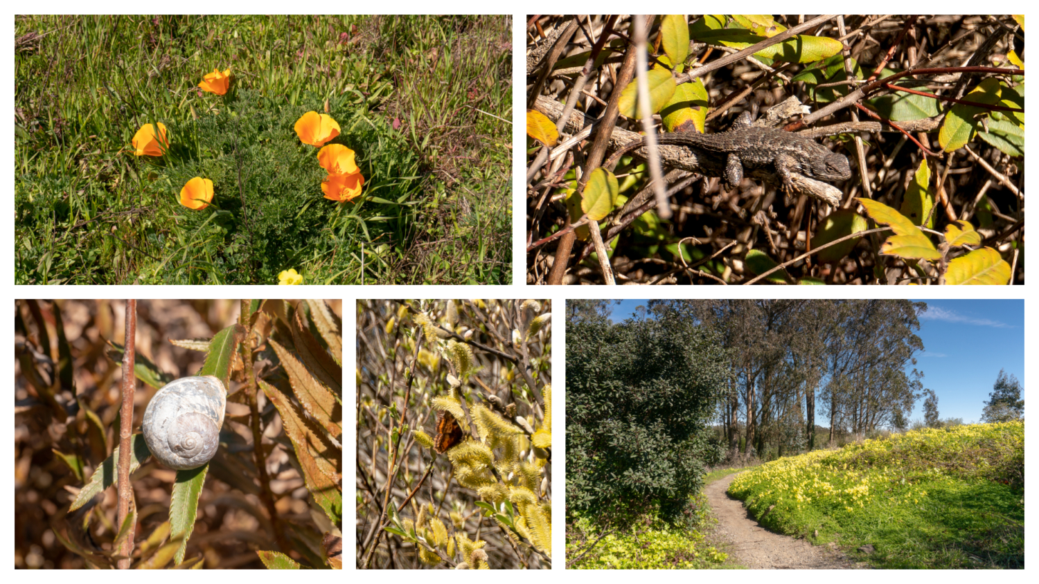
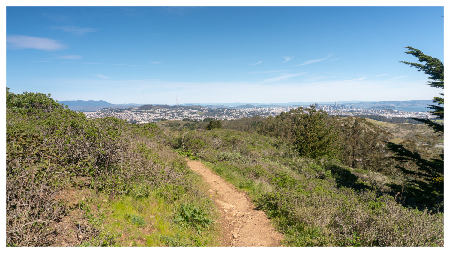
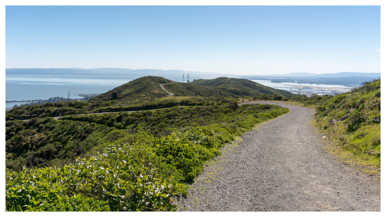
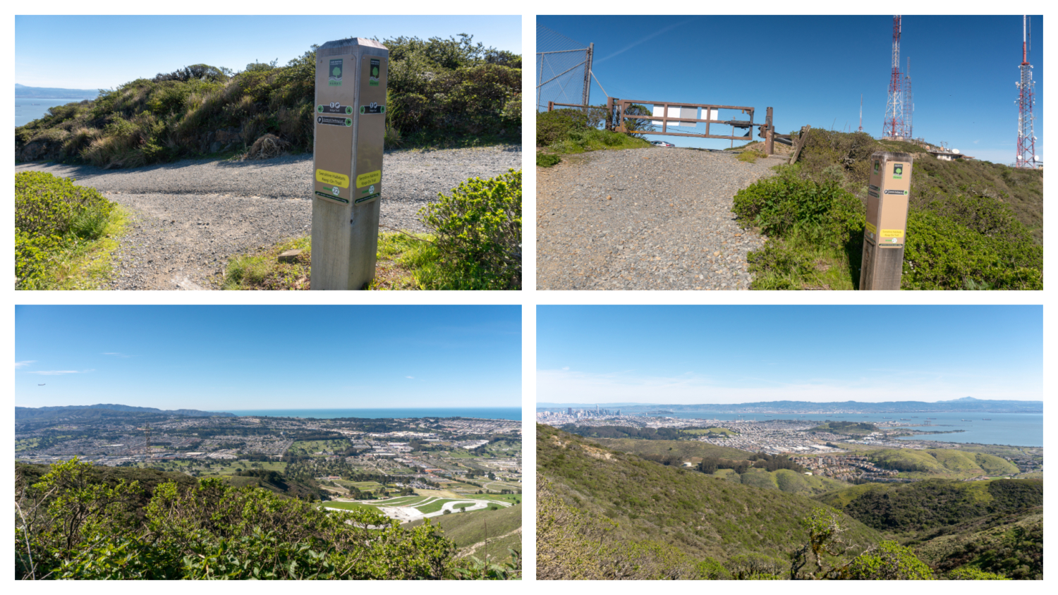
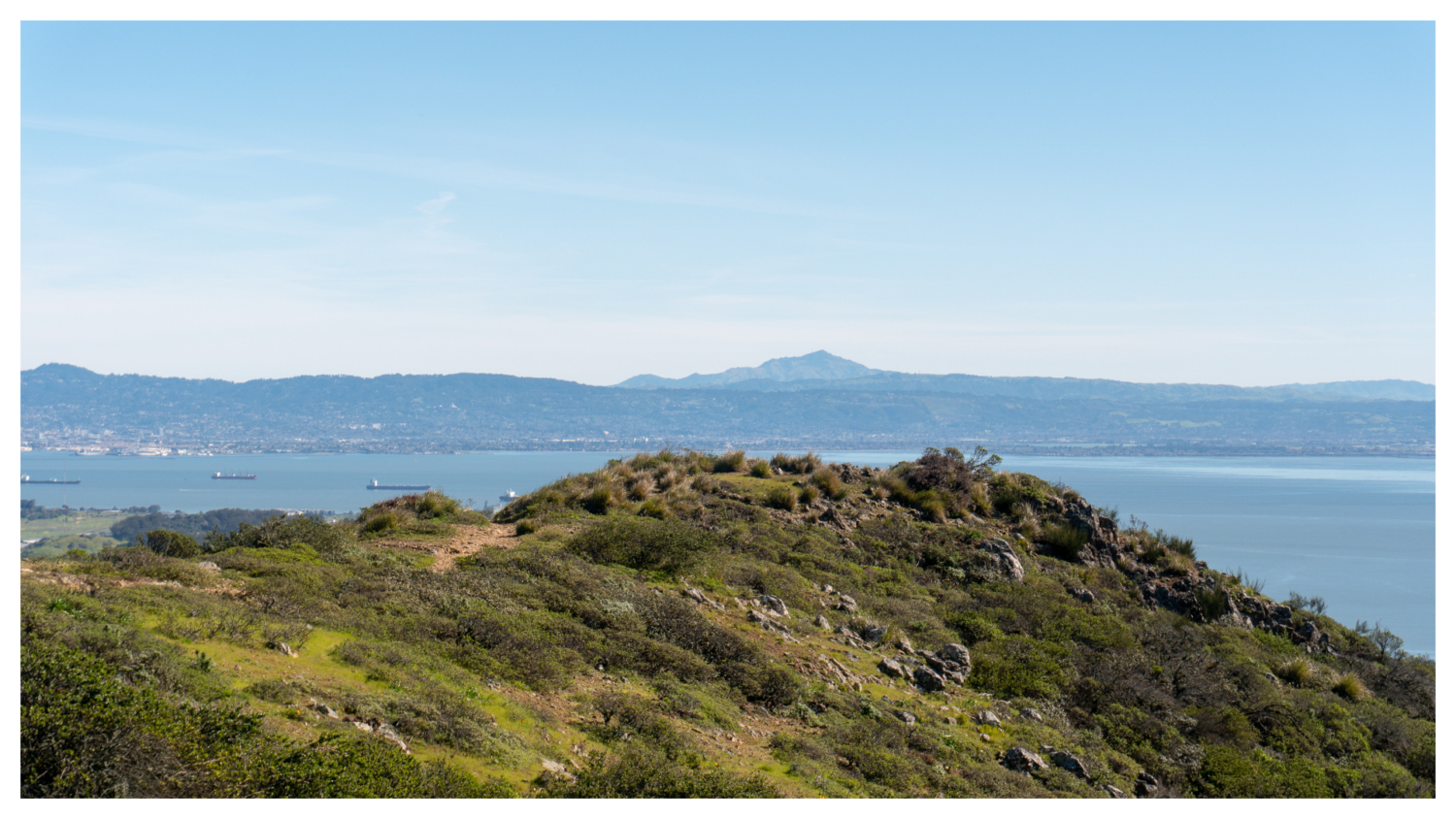
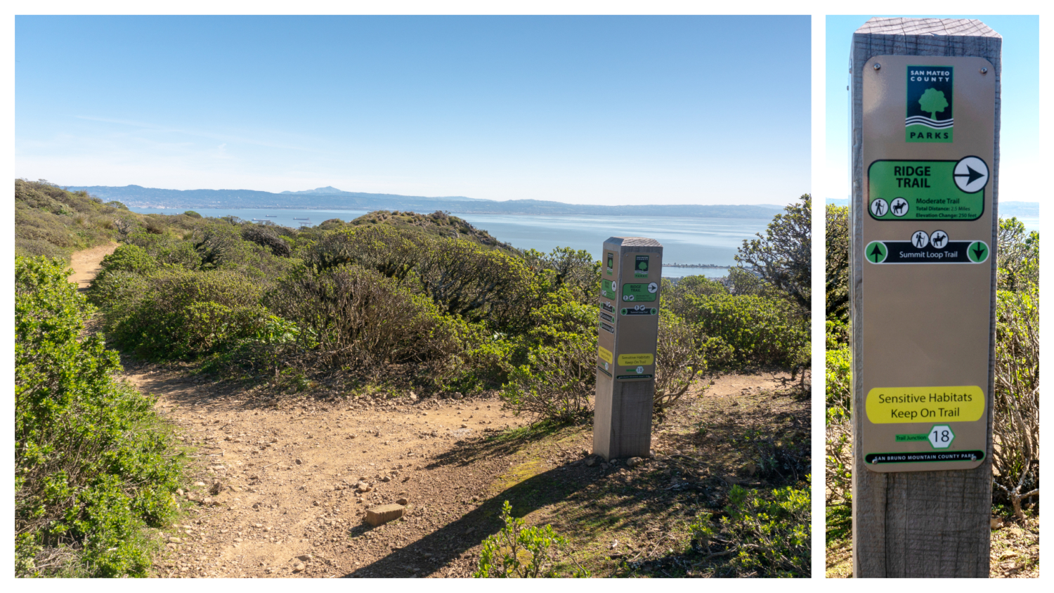
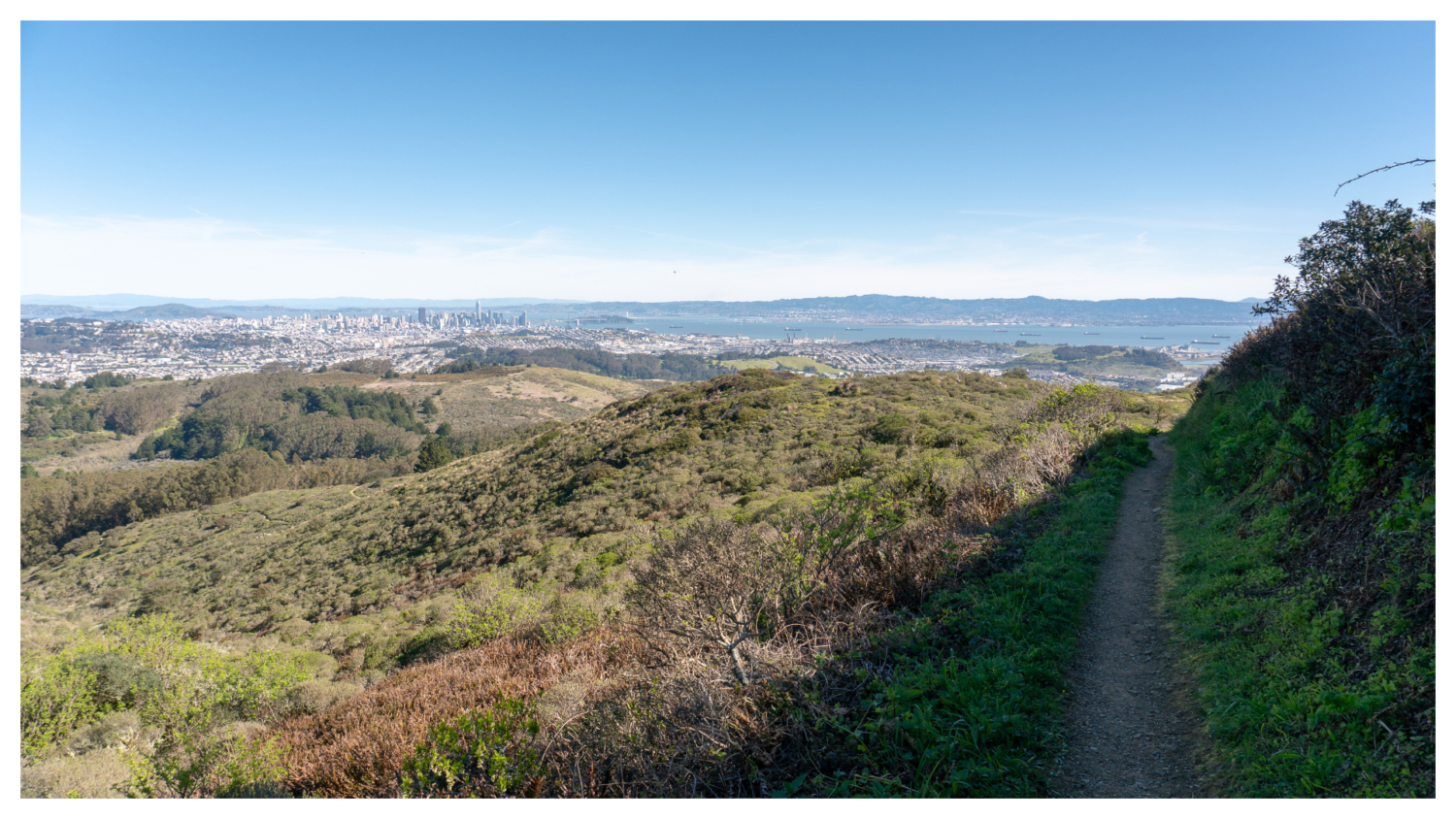
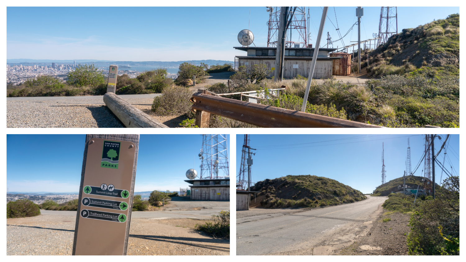
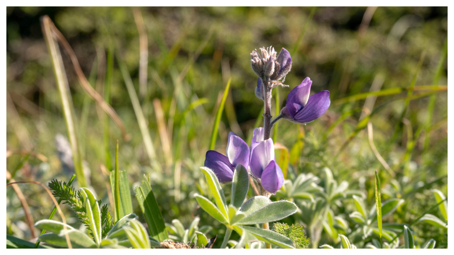
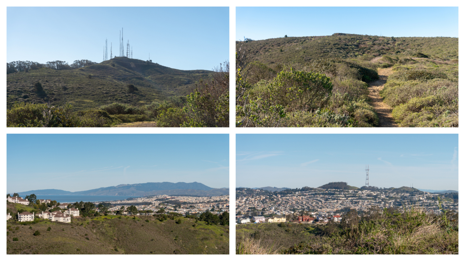
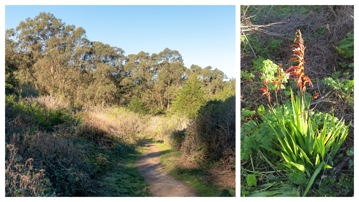
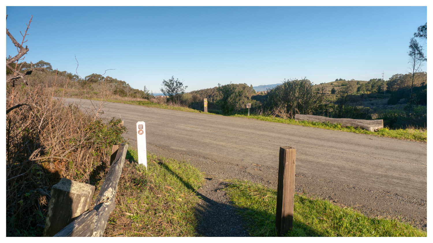
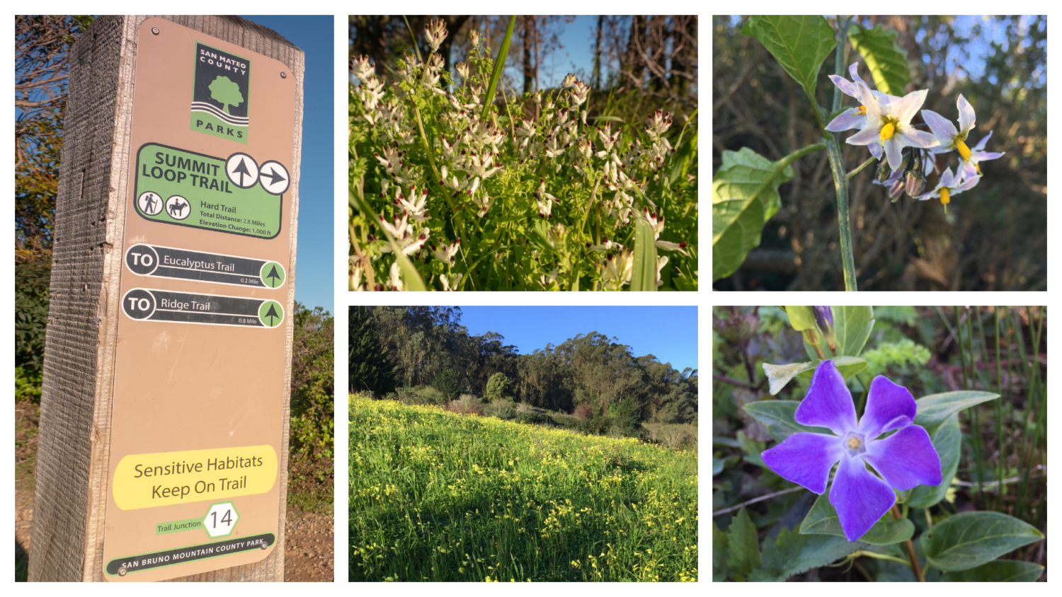
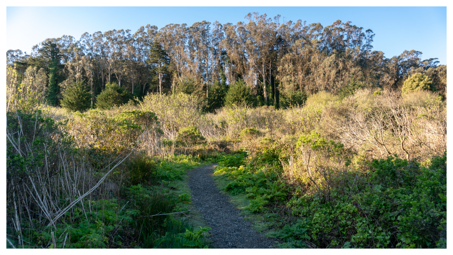
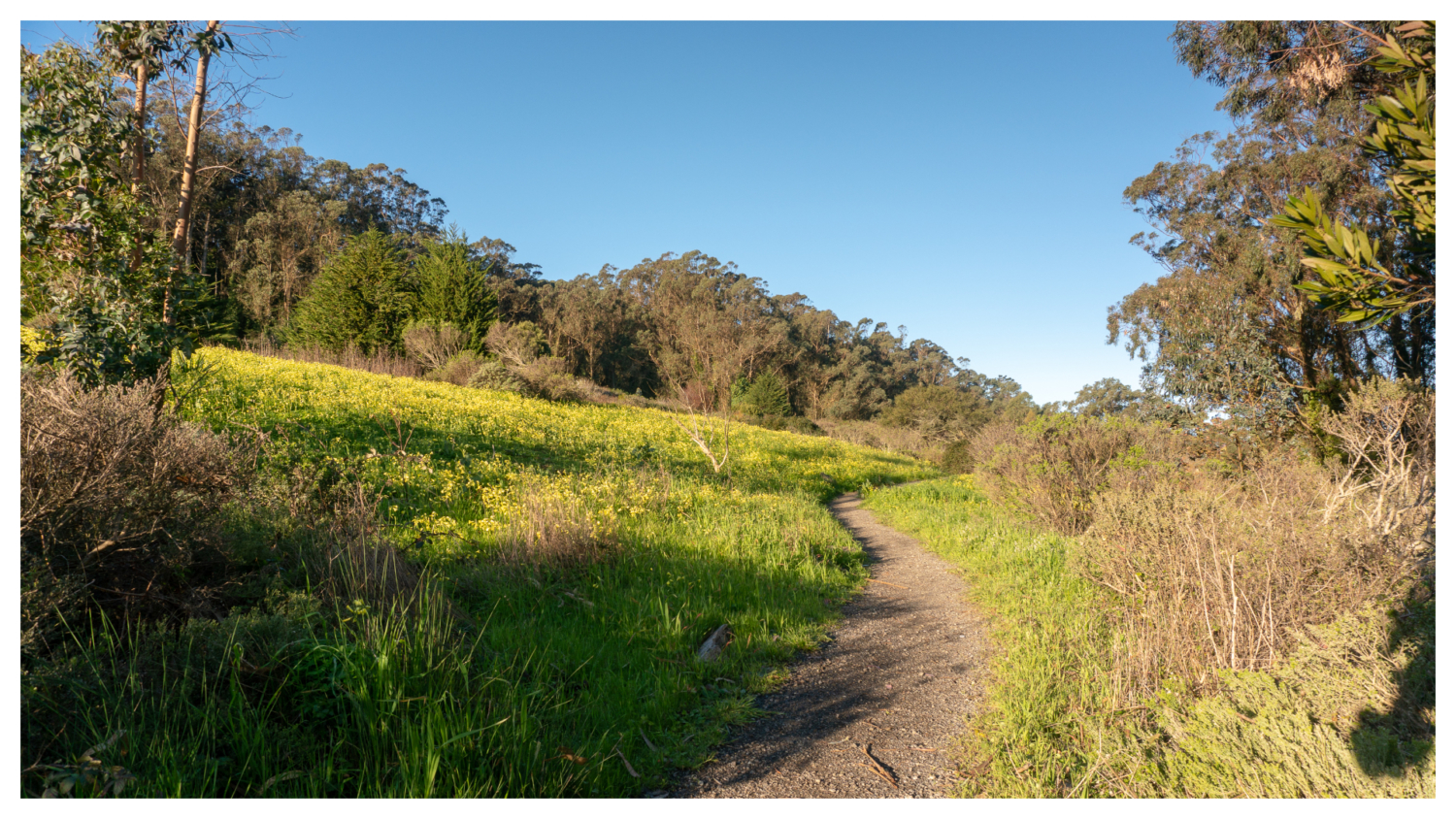
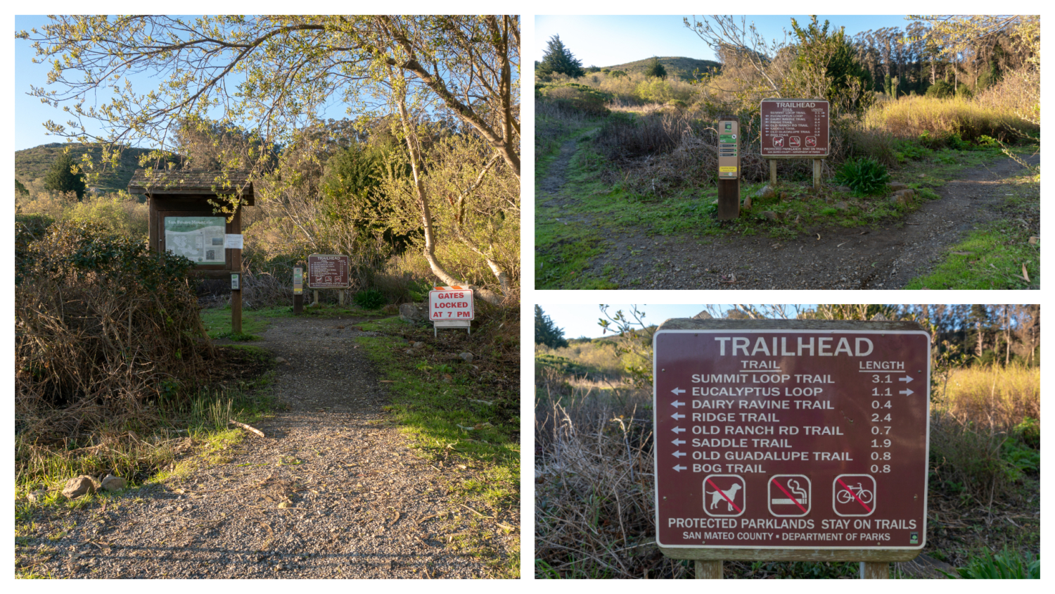
San Bruno Mountain’s sunny ridgelines and steep-sided canyons brim with grasslands, coastal scrub, oak woodlands, chaparral, rare plants, and endangered butterflies. Sandwiched between the Pacific Ocean and the San Francisco Bay nine miles south of downtown San Francisco, this hike is filled with a wild variety of flora and fauna and bang-on San Francisco skyline and Bay views. Begin your hike at the trailhead kiosk where a big brown signs gives you the lay of the land. Turn right on the narrow gravel path towards the Summit Loop Trail, passing by a lovely willow tree. The sounds of traffic combined with a view of Mount Diablo from the parking lot sum up the balance of this hike: city life, gorgeous views, and wildlands. In the 1960s and 1970s, conservationists became alarmed at development plans for San Bruno Mountain. In 1965, one plan even proposed razing the mountain and using the dirt as landfill to expand the San Francisco International Airport. Around this time, David Schooley, Bette Higgins, and Mimi Whitney created The Committee to Save San Bruno Mountain, which turned into San Bruno Mountain Watch, a non-profit organization that hosts hikes on the mountain, mobilizes volunteers to plant host flowers for endangered butterflies, and advocates for the protection of San Bruno Mountain. By 1980, San Mateo County and the State of California acquired parcels of San Bruno Mountain, and the two agreed that San Mateo County would manage the new San Bruno Mountain State and County Park. You could say the mountain is a patchwork of alliances. The summit is 21.4 acres of private land and easements allow utility companies to service power lines, gas lines, water lines, and a cable television facility within park boundaries. In the early 1980’s, a partnership among developers, government officials, and conservationists led to the creation of the Habitat Conservation Plan, a compromise that allows developers to build on sensitive habitats on the mountain in exchange for providing land elsewhere to recreate the destro
Trail Stats
7.0 km
252 m
375 m
157 m
—
Photos
Trail photo
No caption provided.
Trail photo
No caption provided.
Trail photo
No caption provided.
Trail photo
No caption provided.
Trail photo
No caption provided.
Trail photo
No caption provided.
Trail photo
No caption provided.
Trail photo
No caption provided.
Trail photo
No caption provided.
Trail photo
No caption provided.
Trail photo
No caption provided.
Trail photo
No caption provided.
Trail photo
No caption provided.
Trail photo
No caption provided.
Trail photo
No caption provided.
Trail photo
No caption provided.

Trail photo
No caption provided.