2 min
Overview
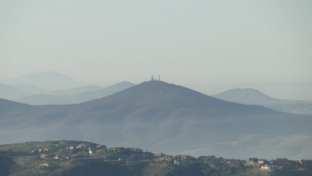
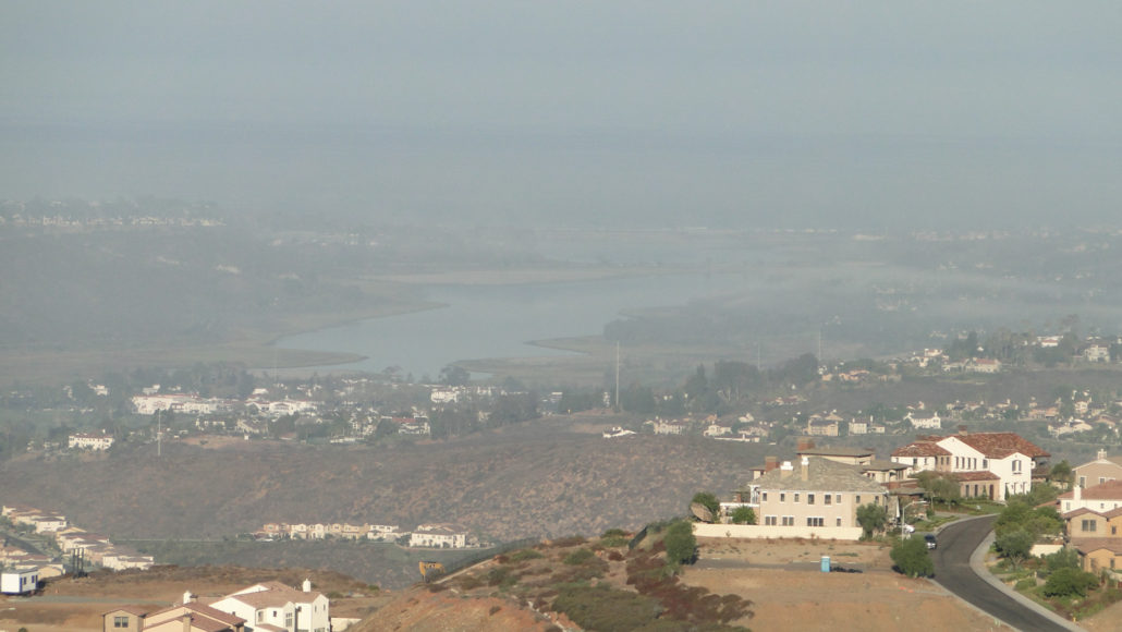
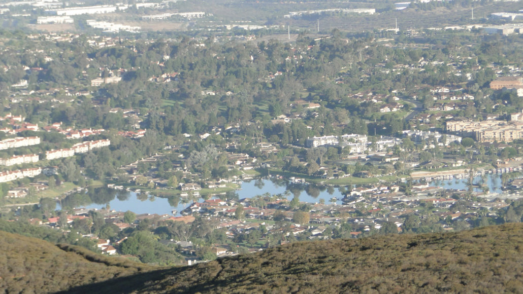
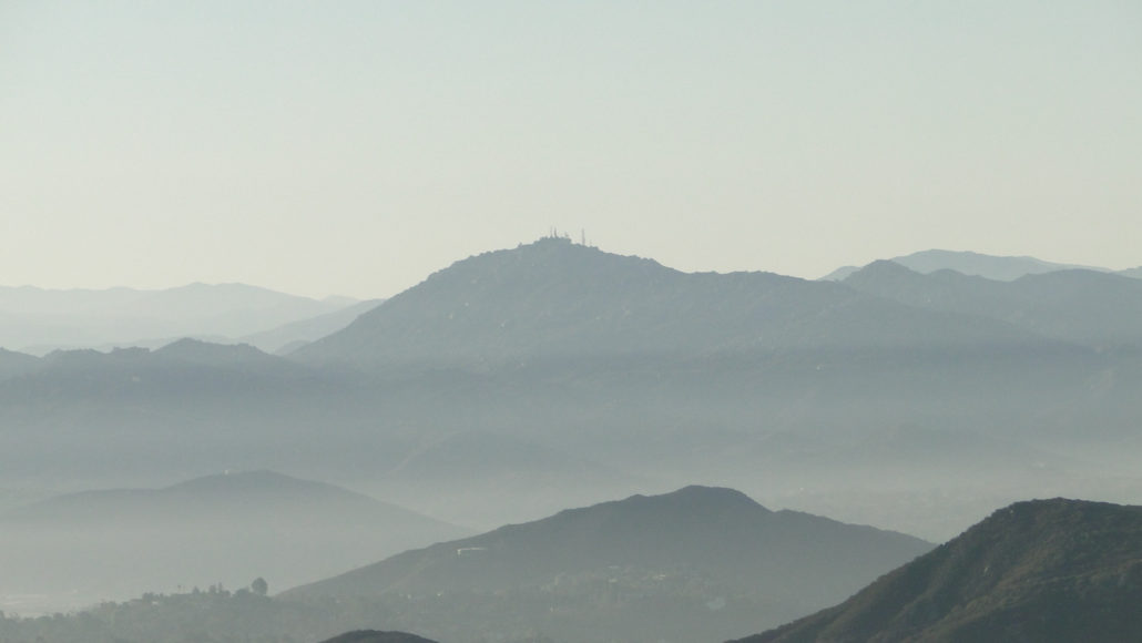
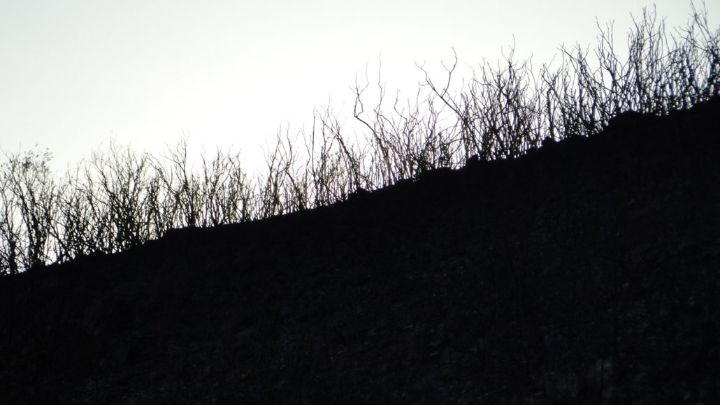
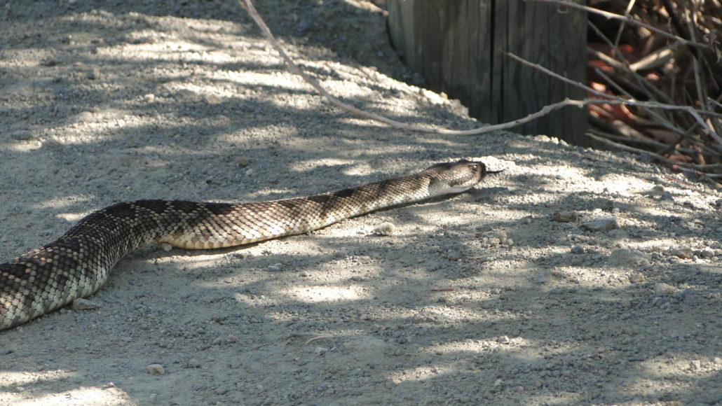
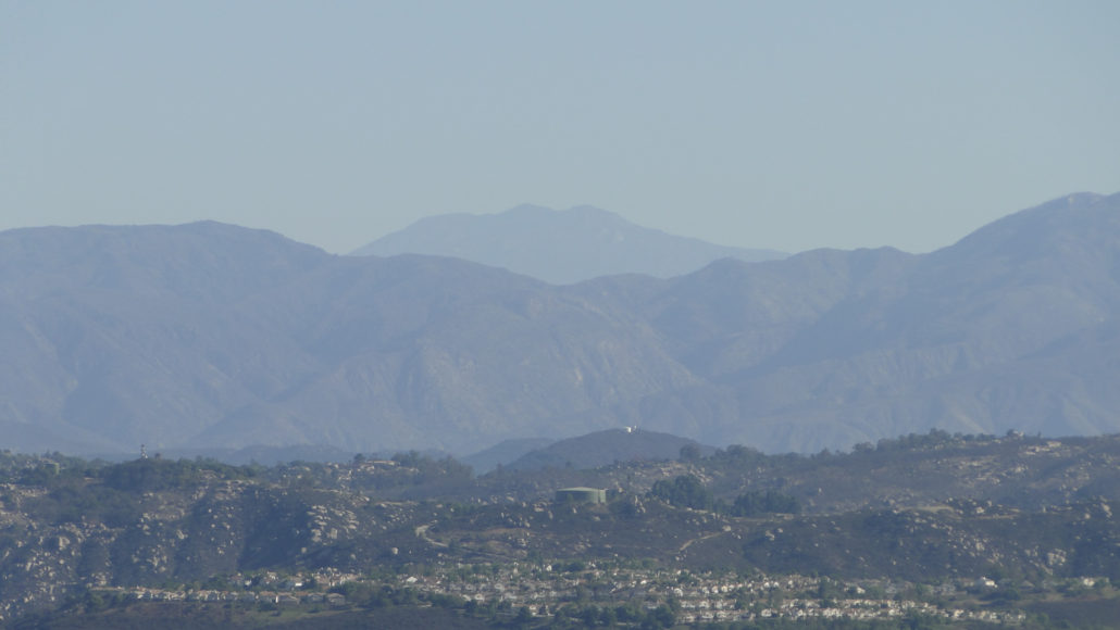
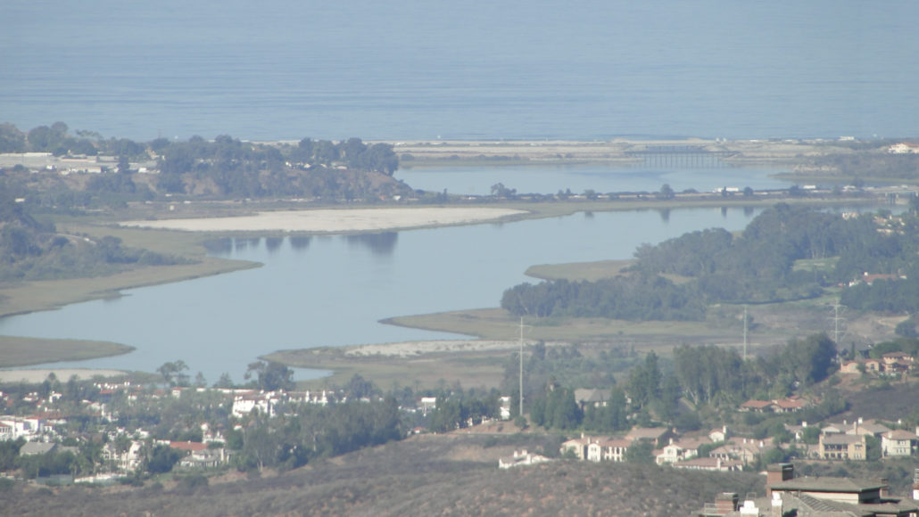
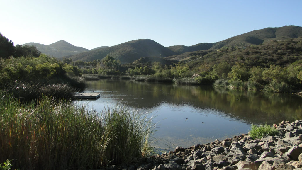
Double Peak is an easily accessed, moderate peak offering great views over North County, coastal San Diego, and toward East County. In addition to a healthy climb and good views, Double Peak boasts a nice park at the summit, complete with picnic benches, a few trees for shade, a free viewfinder, and flush toilets. Mt. Woodson from the summit Double Peak does not have the wild character of so many other peaks in the San Diego region, but it makes up for this lack of wild character by offering good views and nice amenities at the summit. The views from the top are equal to and sometimes greater than the views available at some of the more far-flung locales around the west side of the county, and a free viewfinder at the summit enhances the ability to enjoy the finer points of the panorama. Discovery Lake near the trailhead The trail starts out at Discovery Park, where it crosses over the spillway containing Discovery Lake. Starting out early adds a nice layer of beauty, as the lake often puts forward a fine layer of mist. Additionally, starting out and ending at a body of water is a nice reward, considering the dry grind ahead. Rattlesnake crossing the trail After the lake, the trail climbs up a smooth dirt path for about a quarter of a mile before entering a residential housing development. The trail will pass through this subdvision on the right side of the street. This community trail will connect you to the continuation of the Double Peak Trail, which lies just uphill from the start of the street-side trail off to the left. Signs will point the way, but keep in mind that if you bear left away from the dirt path, you will have gone the wrong way. Skeletal remains of chaparral left by the 2014 Cocos Fire The trail leaves the subdivision and starts the hardest stretch of climbing before coming to a water tank. The trail will bear left at the water tank and will leave behind the bulk of the developed sections. It should be noted that this portion of the Double Peak Trail was burnt during the May 2014 Cocos fire.
Trail Stats
7.7 km
304 m
495 m
197 m
—
Photos
Trail photo
No caption provided.
Trail photo
No caption provided.
Trail photo
No caption provided.

Trail photo
No caption provided.
Trail photo
No caption provided.
Trail photo
No caption provided.
Trail photo
No caption provided.
Trail photo
No caption provided.
Trail photo
No caption provided.
Trail photo
No caption provided.