2 min
Overview
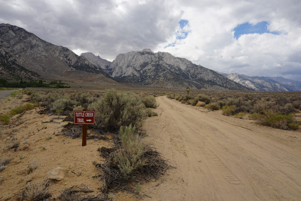
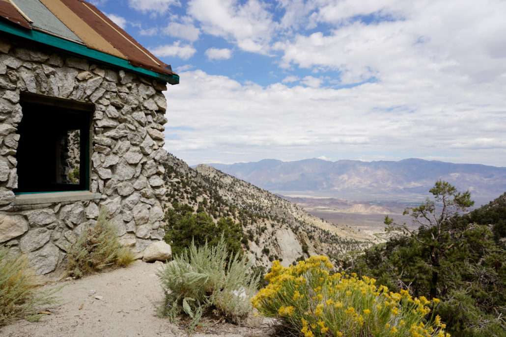
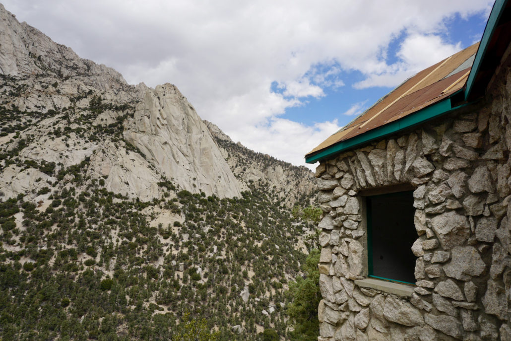
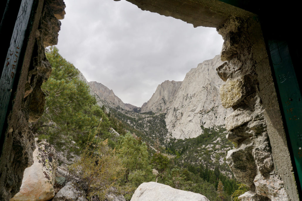
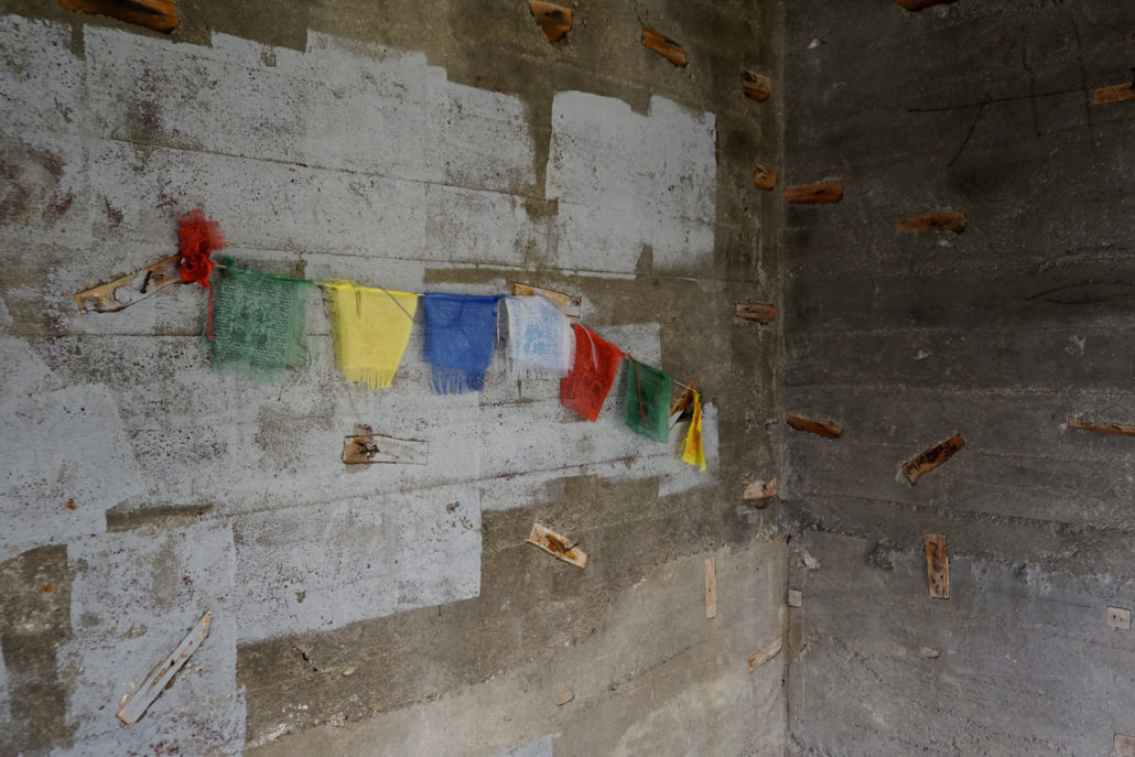
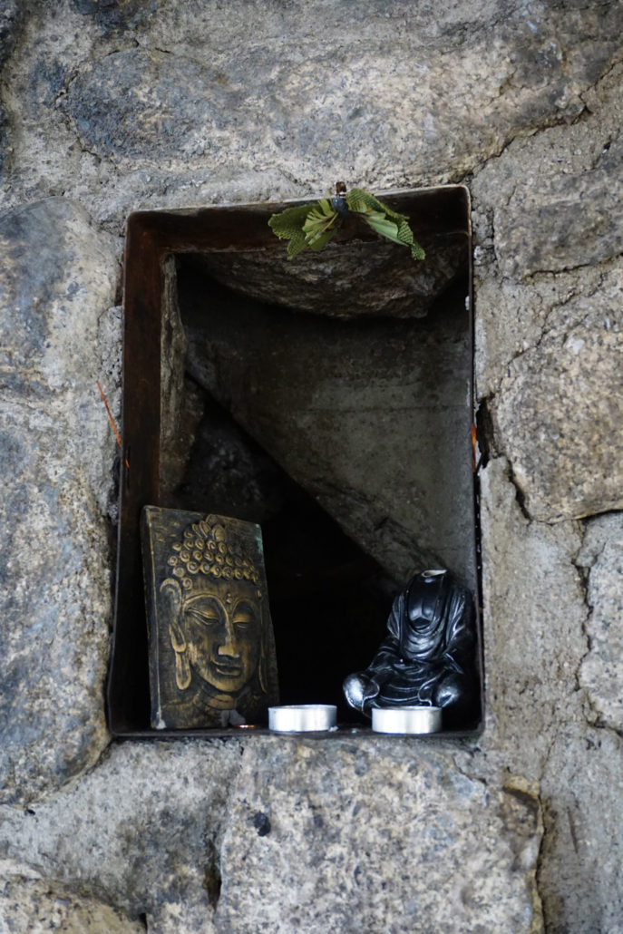
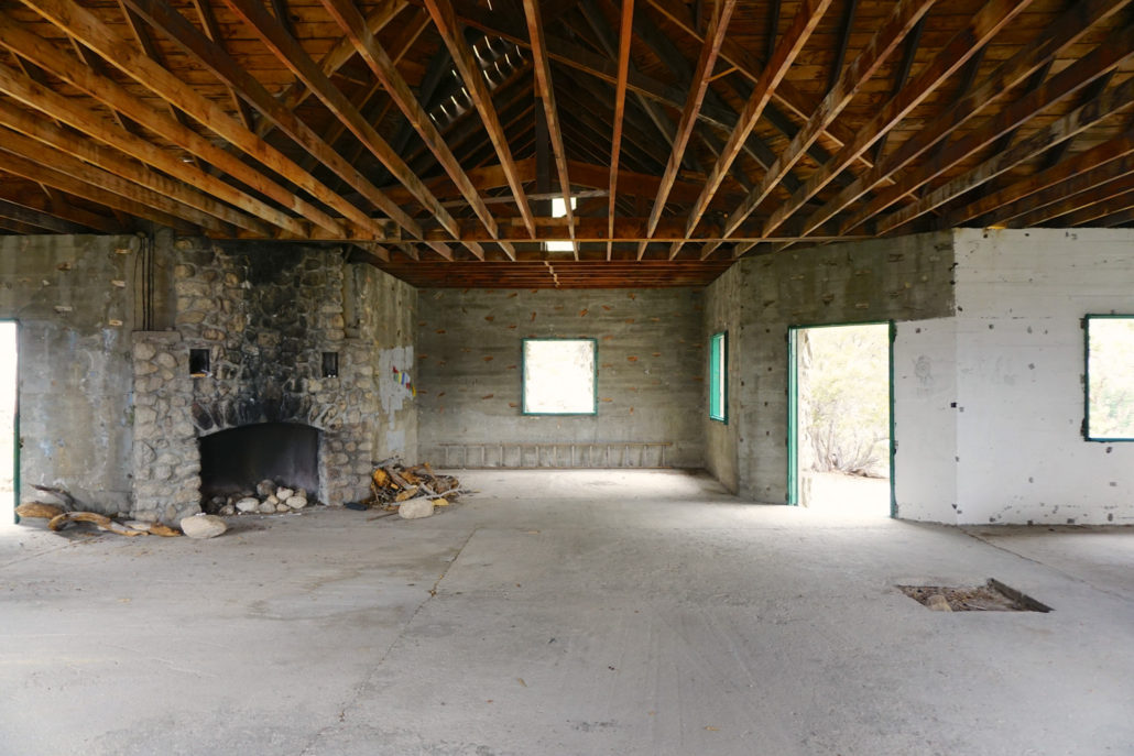
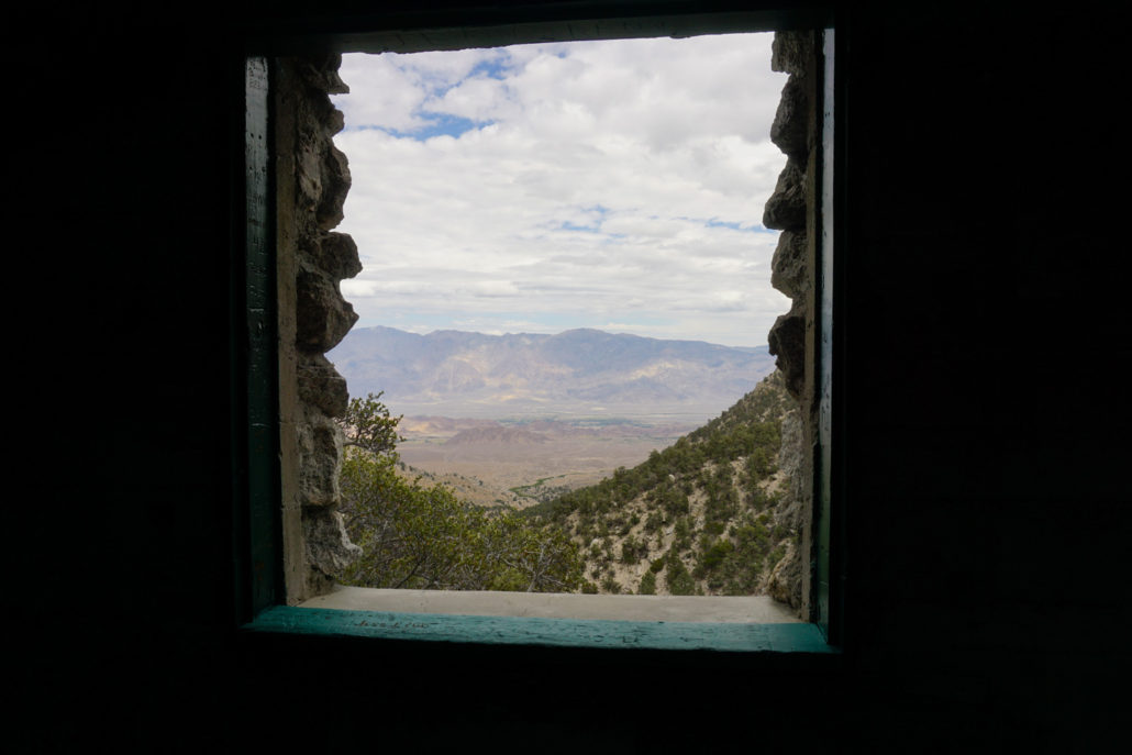
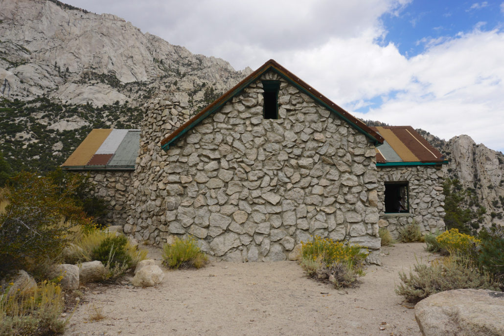
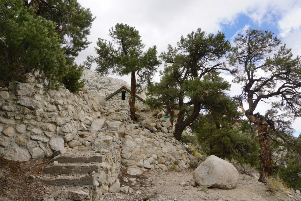
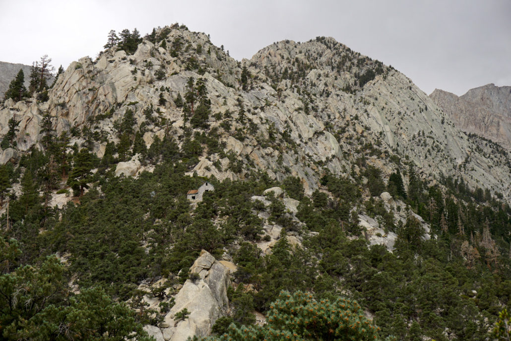
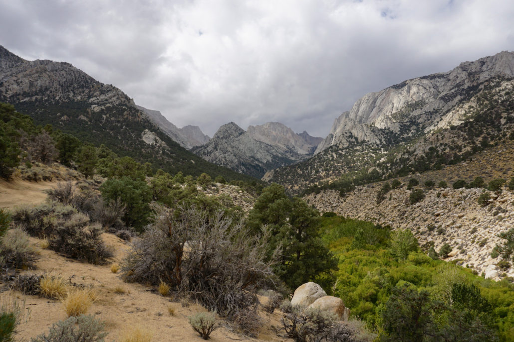
Mountains have long served as spiritual destinations for those seeking enlightenment. The pursuit of peace, solitude, and even the feeling of being elevated closer to the heavens draws people to heights near and far, from the Buddhist monasteries perched on China’s loftiest peaks to the myriad temples strung across the Himalaya. For those lacking in frequent flier miles, but seeking a mountaintop pilgrimage, there’s an option closer to home – the Tuttle Creek Ashram, a stark stone building tucked into a deep canyon in the Eastern Sierra. The ashram – or Monastery, Stone House, Rama Sangha School, or Ashrama, depending on the source – was built by philosopher Franklin Merrell-Wolff, his wife Sarah A. Merrell (known as “Sherifa”), a student of “esoteric Hinduism,” and their followers. The duo first visited the Lone Pine area in 1928, camping in the Owens Valley under the steep escarpments while writing an assortment of spiritual texts. They formed a bond with the mountains and sought out a location to make their connection more permanent, settling on a stunning ridge located in remote Tuttle Creek Canyon. The duo leased the land from the Forestry Service, which in turn required them to establish a structure, so they set about constructing a base camp, road, and eventually, the building itself. The effort required was immense. Dozens of people joined the push, with Merrell-Wolf himself leading the way with dynamite and self-constructed hand tools, and it was two decades before the crew finally ceased work on the nearly-completed ashram, only because of Sherifa’s declining health. In subsequent years, the building was vandalized and its very existence was threatened when the canyon was declared a Wilderness Area in 1963, but the Forest Service fortunately saw the significance of the building and it’s been suggested for inclusion on the National Register of Historic Places. While Merrell-Wolf and his wife are long gone of this earth, they leave behind an interesting legacy of spiritual teachings (to learn more, you
Trail Stats
5.9 km
436 m
2354 m
1960 m
—
Photos
Trail photo
No caption provided.
Trail photo
No caption provided.
Trail photo
No caption provided.
Trail photo
No caption provided.
Trail photo
No caption provided.
Trail photo
No caption provided.
Trail photo
No caption provided.
Trail photo
No caption provided.
Trail photo
No caption provided.
Trail photo
No caption provided.
Trail photo
No caption provided.
Trail photo
No caption provided.
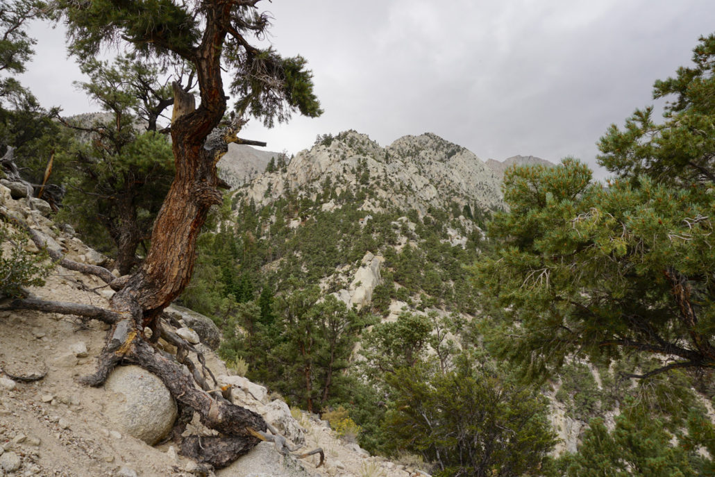
Trail photo
No caption provided.
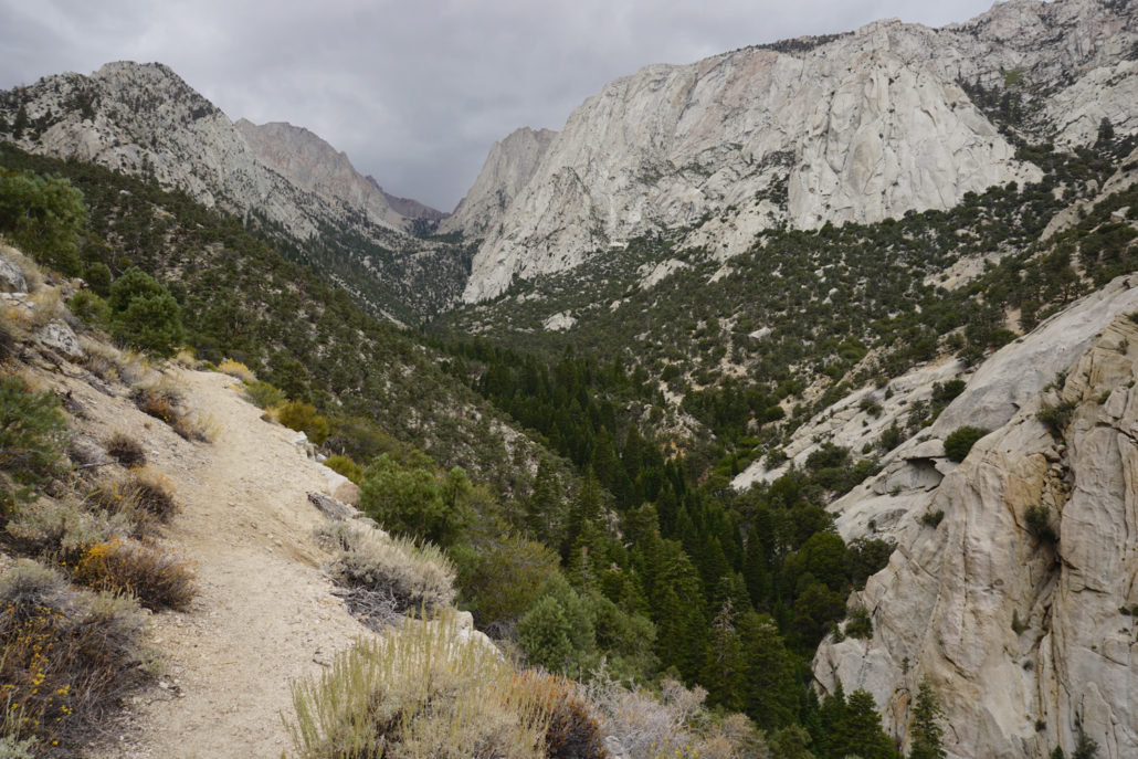
Trail photo
No caption provided.
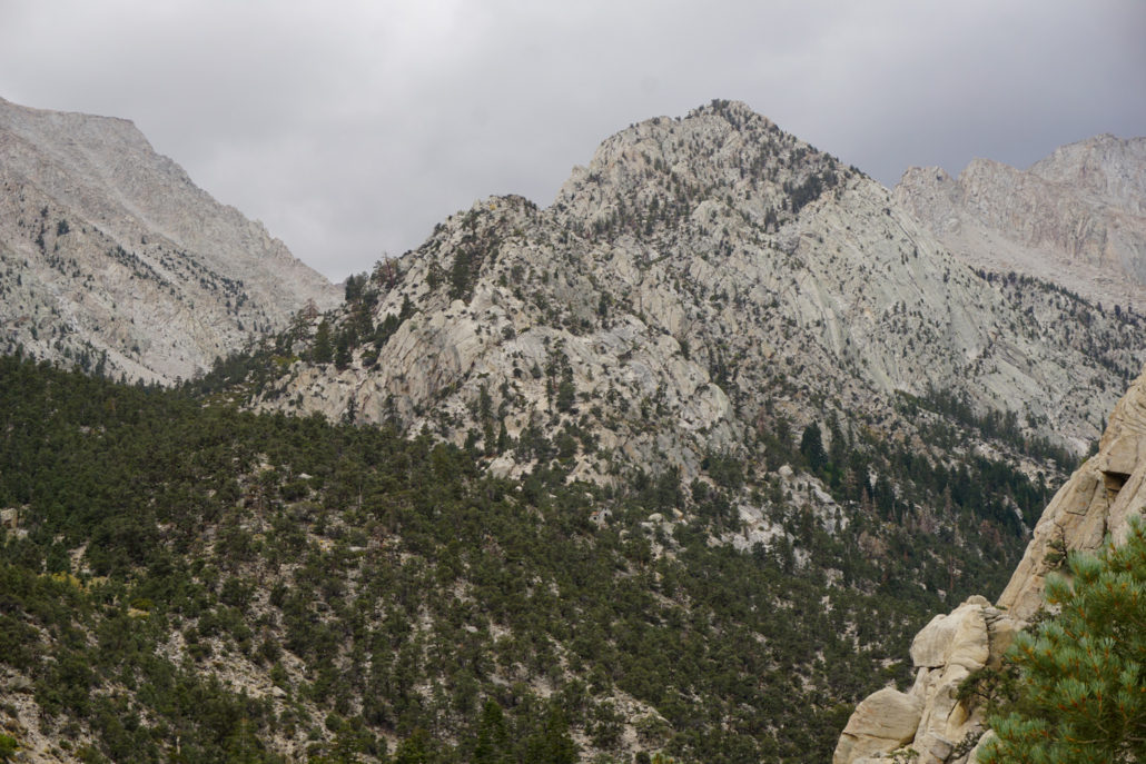
Trail photo
No caption provided.
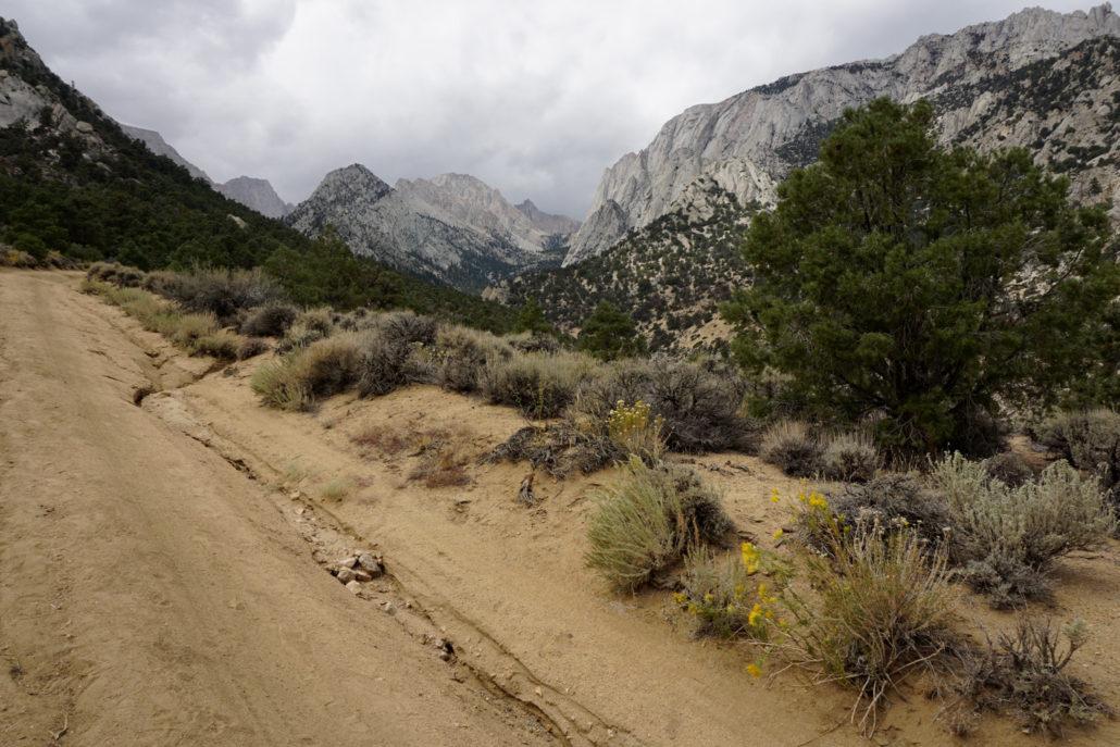
Trail photo
No caption provided.
Trail photo
No caption provided.
Trail photo
No caption provided.