2 min
Overview
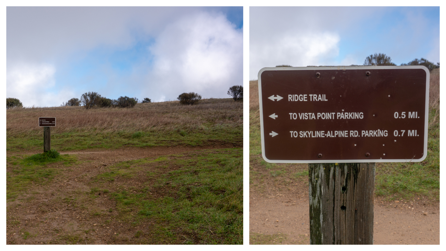
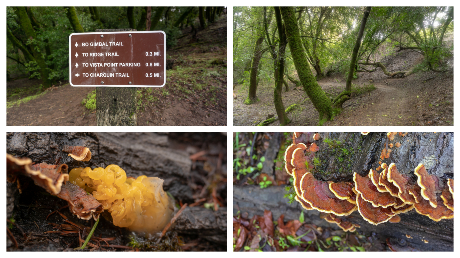
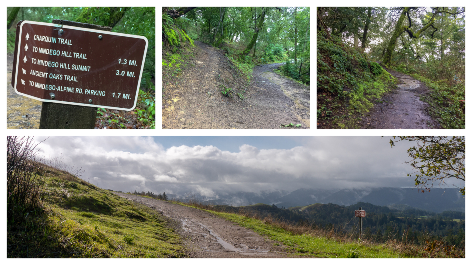
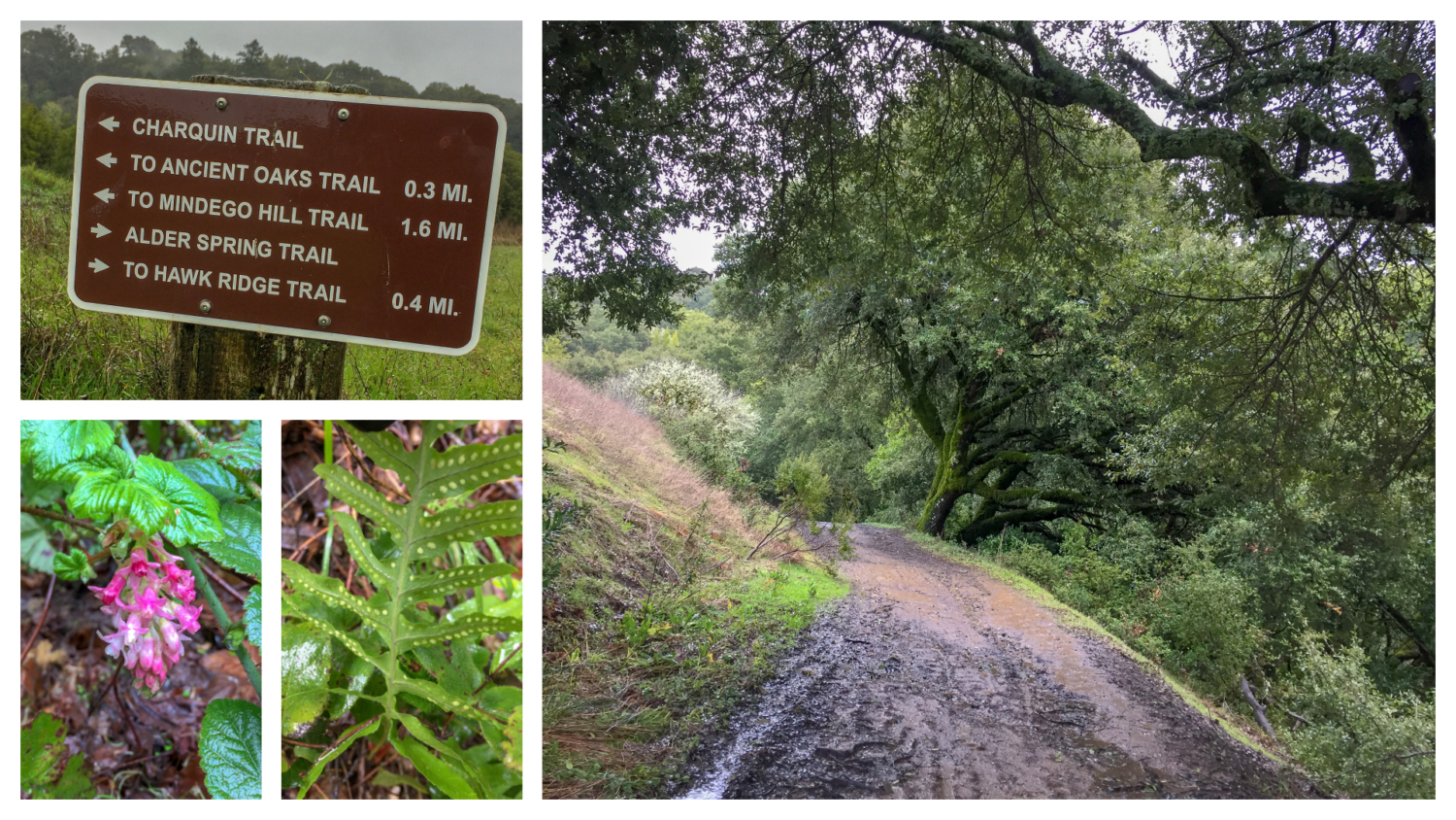
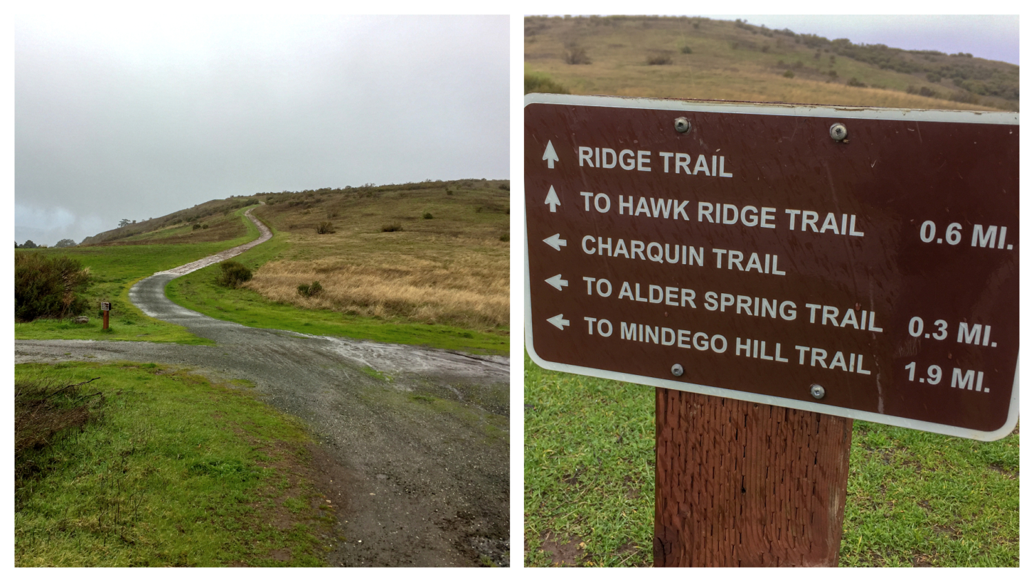
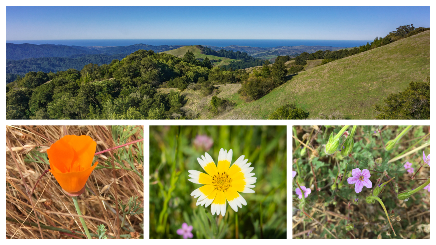
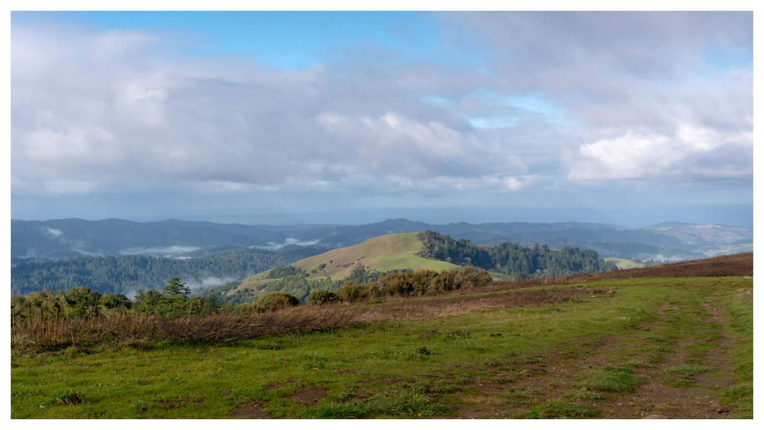
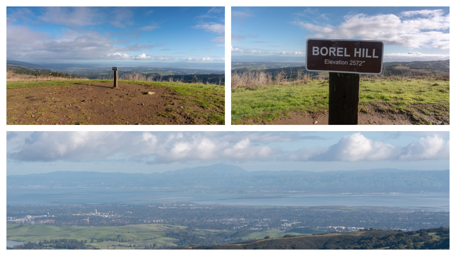
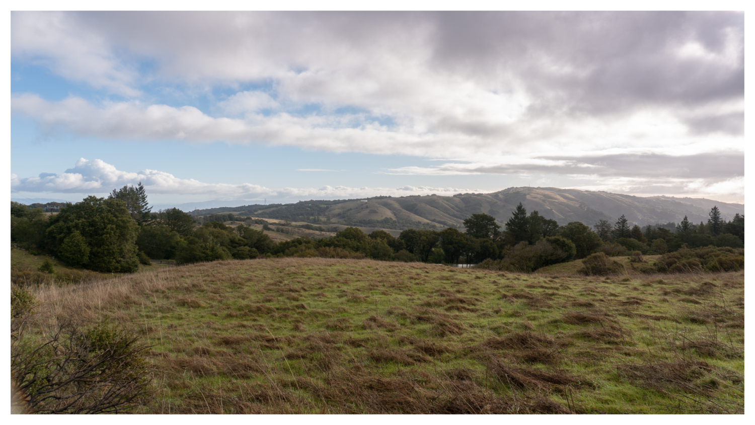
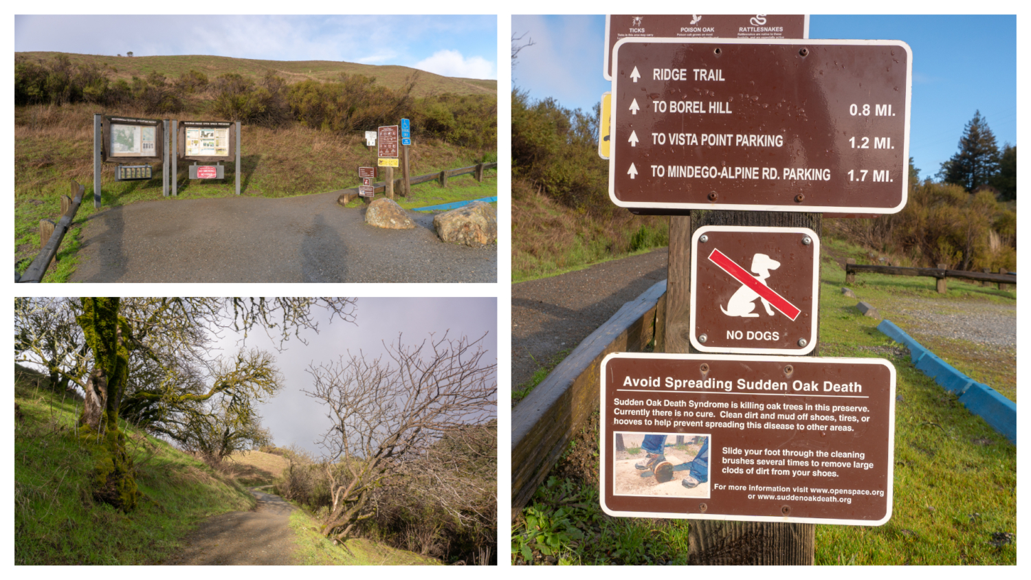
Russian Ridge Open Space Preserve is a 3,137-acre preserve next to the Skyline Ridge Preserve in San Mateo County. Its wide-open grasslands roll like a flying carpet over a 2,000-foot ridge with 360-degree views of the Pacific Ocean, San Francisco Bay, and East Bay peaks from Borel Hill. Russian Ridge is one of the best spots in the San Francisco Bay Area to see spring wildflowers … and feel like you’re on top of the world. Begin your hike at the Russian Ridge Preserve parking lot, heading northwest on the Ridge Trail towards Borel Hill. The gravelly single-track passes through grasslands surrounded by coyote brush, the occasional canyon live oak, and California buckeye as it switchbacks beneath power lines. Traffic on Skyline Boulevard is a bit startling at first as it parallels the trail in the beginning, but soon fades as the trail carries you above it. To the east, Black Mountain, Mount Diablo, and East Bay peaks rise into view, along with the fog-shrouded woodlands, Mindego Hill, and the San Gregorio Creek Watershed to the west. Families, mountain bikers, and equestrians love Russian Ridge, named for Mr. Paskey, a Russian immigrant who ran a dairy farm here from 1920 to 1950. Mr. Paskey initially leased the land from James Rolph, Jr., the former mayor of San Francisco and Governor of California from 1931-1934. Bright orange poppies, lupine, purple owl’s clover, and tidy tips pop next to the trail in springtime. Pass the Ancient Oaks Trail at 0.5 miles, and at the next junction, turn right to ascend Borel Hill. At the top of the 2,572-foot peak — the highest named point in San Mateo County — are views of Mount Tamalpais, San Francisco, Mount Diablo, the Diablo Range, and the San Francisco Bay. To the west are the Pacific Ocean, Mindego Hill, elevation 2,134 feet, and the western foothills of the Santa Cruz Mountains. The hike to Borel Hill and back is a great way to shorten this hike for kids, coming in at roughly 1.8 miles round-trip. Borel Hill is named for Antoine Borel, a Swiss banker lived in San Mateo
Trail Stats
6.1 km
213 m
757 m
630 m
—
Photos
Trail photo
No caption provided.
Trail photo
No caption provided.
Trail photo
No caption provided.
Trail photo
No caption provided.
Trail photo
No caption provided.
Trail photo
No caption provided.
Trail photo
No caption provided.
Trail photo
No caption provided.
Trail photo
No caption provided.
Trail photo
No caption provided.