2 min
Overview
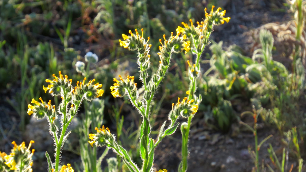
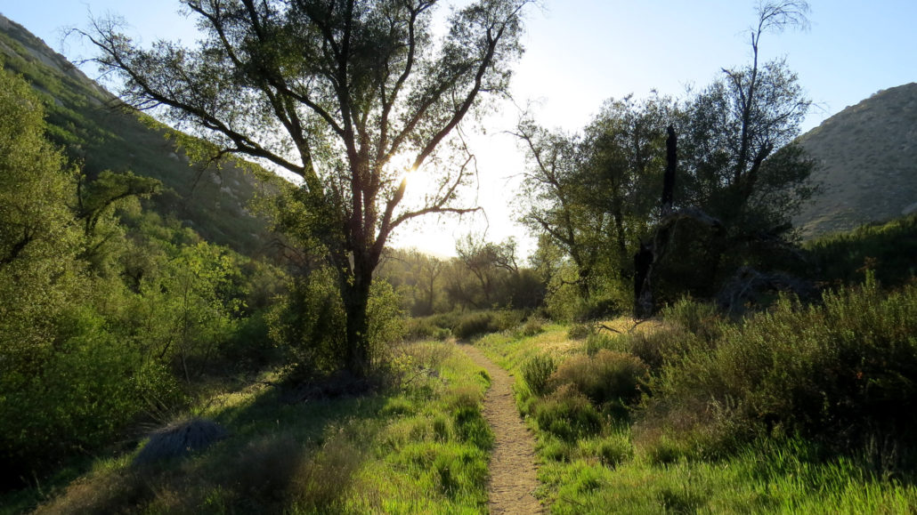
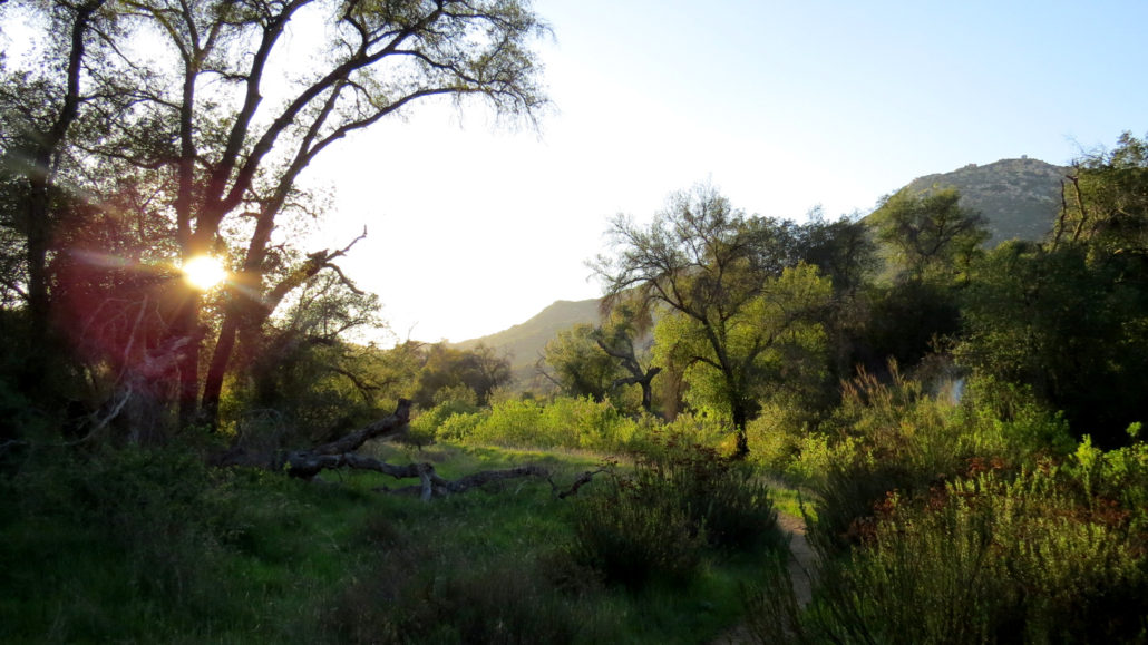
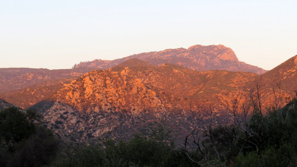
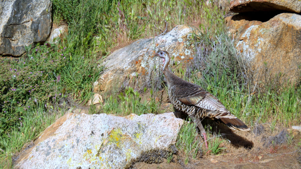
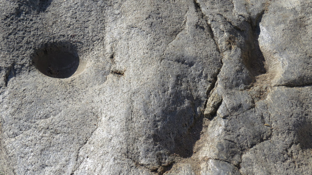
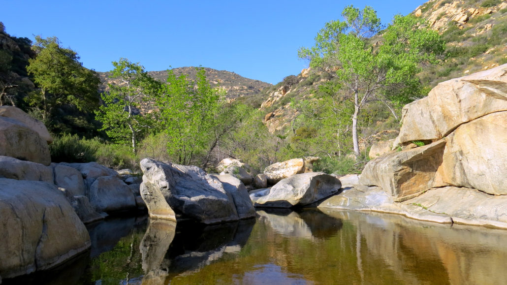
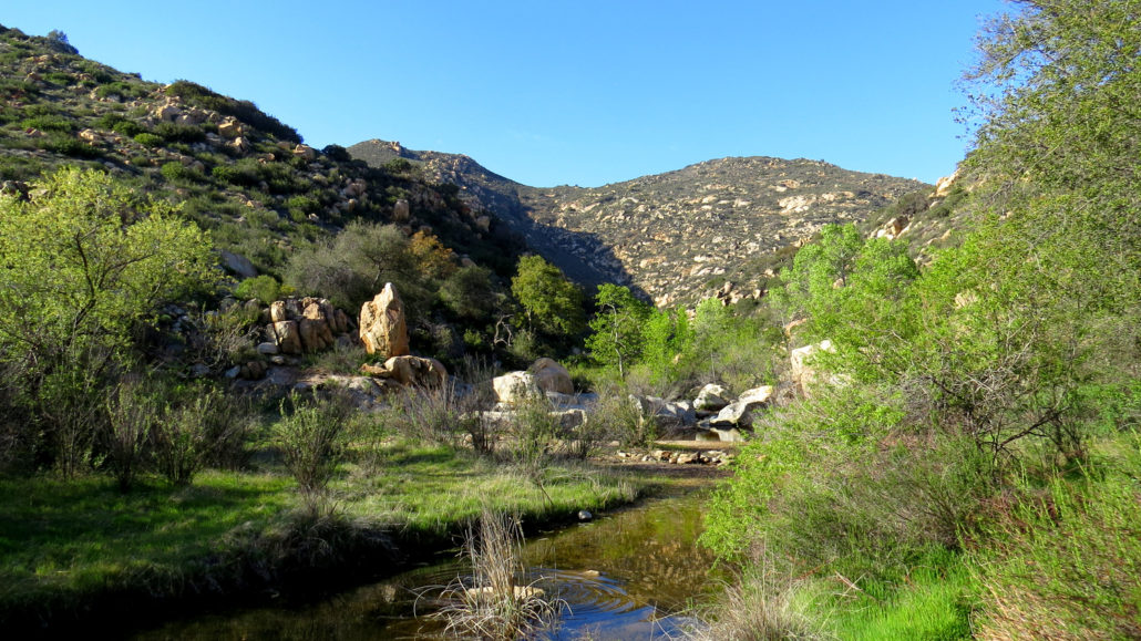
One of San Diego County’s sublime beauty spots lies at a confluence between two canyons: Pine Valley Creek Canyon and Horsethief Canyon. At this confluence, the two canyons open up into a spacious mini-valley shaded by live oaks. Pine Valley Creek runs through the heart of this confluence (at least during the wetter half of the year), and a small watering hole shaded by sycamores and cottonwoods and featuring a handful of old Kumeyaay grinding stones lies just past a spot where the Espinosa Trail crosses the creek. Ranchers Fiddlenecks Although there are longer and more challenging ways to reach this spot (Secret Canyon or the Espinosa Trail from the Corte Madera Saddle), the Espinosa Trail departing from the Horsethief Canyon Trailhead on Japatul Valley Road is the easiest way to get here. Since this route runs through Cleveland National Forest’s Pine Creek Wilderness, backpacking is also an option at any one of the shady campsites near Pine Valley Creek. This relatively easy hike into and out of the canyon coupled with easy access to water make this route a perfect opportunity for novice backpackers to get their first taste for the activity. Wild Turkey Espinosa Trail As your imagination might suggest, this canyon does have a history with horses and the men who steal them. The canyon frequently hosted a number of purloined equines thanks to its favorable geography and proximity to the Mexican border. Thieves would hold the horses here until they sensed that the coast was clear, then they’d lead the horses south into Mexico perhaps into questionable or nefarious service. Dirt Road Leading from the Trailhead Corte Madera Mountain After parking and displaying your Adventure Pass, follow the wide, dirt trail east past a gate. At 0.2 mile, the Espinosa Trail branches away on the right from what becomes Bancas-Horsethief Canyon Road. Turn right here to begin a switchbacking ascent through dense chaparral in a tributary ravine that feeds into intermittent Horsethief Creek. Horsethief Canyon The trail bottoms out aft
Trail Stats
5.6 km
152 m
755 m
597 m
—
Photos
Trail photo
No caption provided.
Trail photo
No caption provided.
Trail photo
No caption provided.
Trail photo
No caption provided.
Trail photo
No caption provided.
Trail photo
No caption provided.
Trail photo
No caption provided.
Trail photo
No caption provided.