2 min
Overview
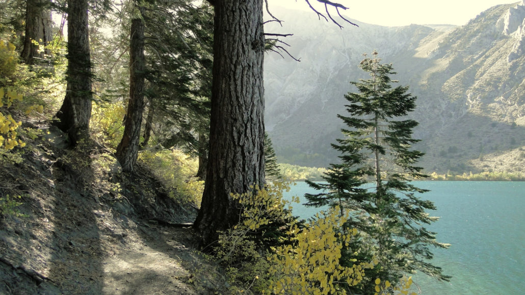
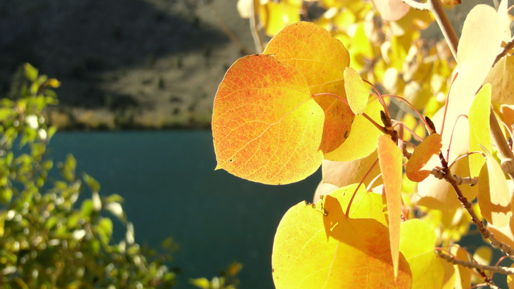
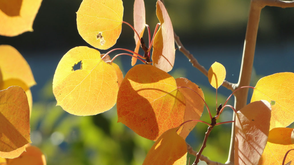
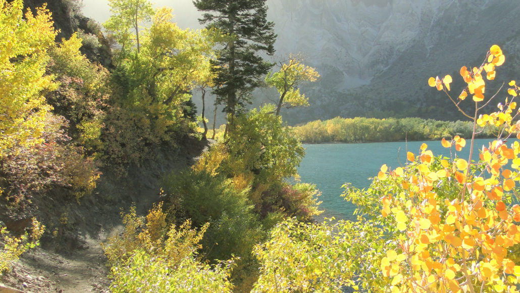
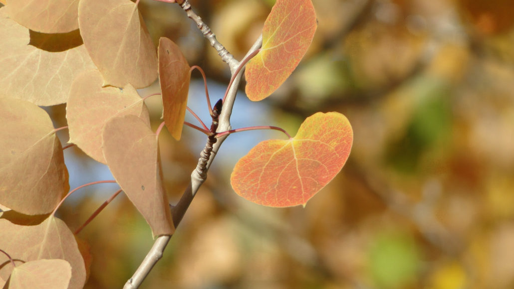
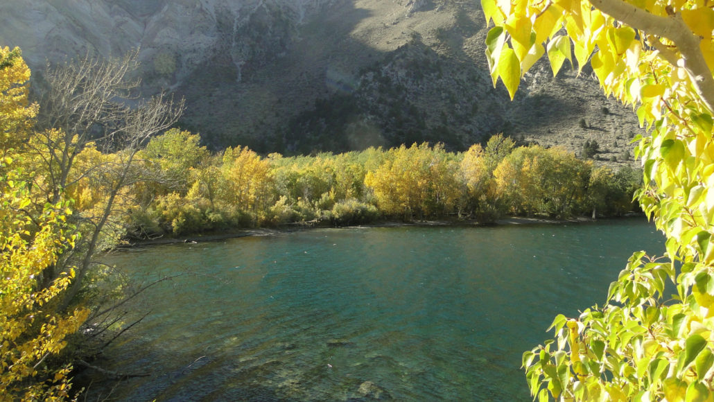
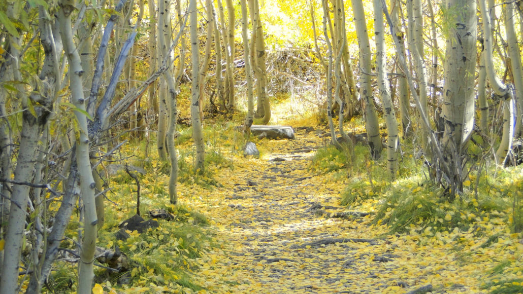
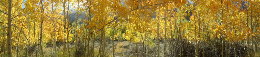
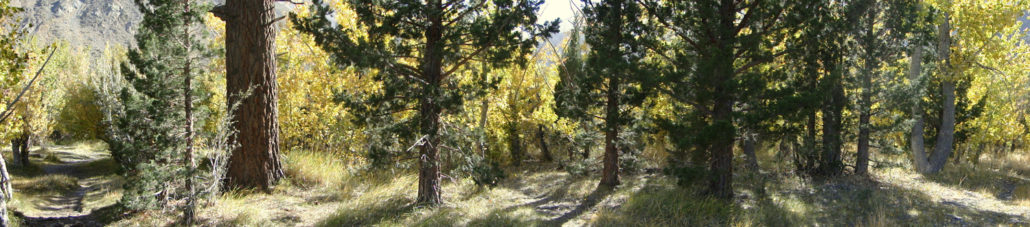
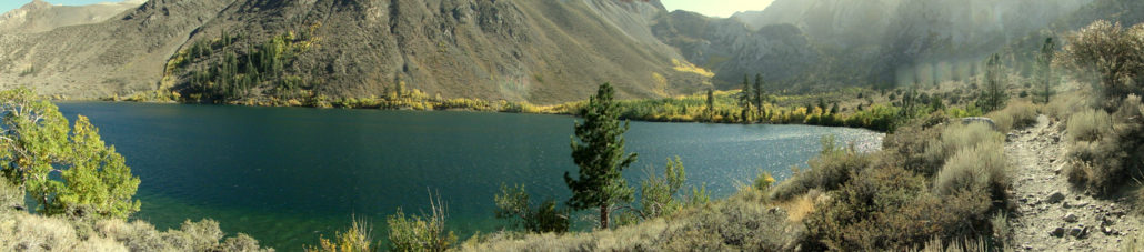
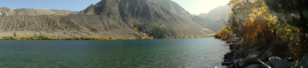
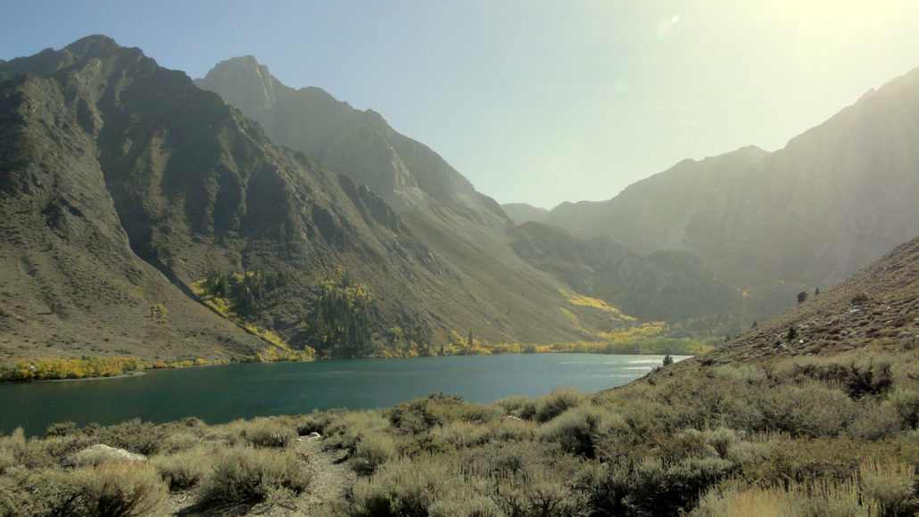
Tucked into a magnificent granite bowl in the shadow of towering Mt. Morrison, colorful Convict Lake is one of the finest fall color hikes in the area between Bishop and Mammoth Lakes. This easy and mostly flat 3.3 mile loop hike around the lake’s shore offers views of the spectacular Sherwin Range rising up to the Sierra Crest before plunging into a dense thicket of aspens and cottonwoods near the inlet of Convict Creek, which provide this hike with the majority of its color. Convict Lake received its name from an 1871 incident in which a group of convicts escaped from a Carson City prison and made their way south in an attempt to evade the posse that was soon hot on its trail. The gang was cornered at the outlet of what is now Convict Creek, where several of the convicts were killed in the encounter. One of the posse members, a banker named Robert Morrison, was killed in the shootout, and nearby Mt. Morrison was named in his honor. Today, the lake is a popular fishing and camping destination. Fishing on the lake is in such high demand that the National Forest re-stocks the lake weekly with brown and rainbow trout grown in a nearby fish hatchery. It’s not unusual to find people out in boats on the inky blue waters, while you’ll also likely encounter folks in the picnic and campground on the southeast end of the lake. You will find the trailhead for the hike off to the side of the developed area of the lakeshore. The trailhead is on the east side of the moraine containing the lake, and climbing up and over to get to the loop trail will present the primary climb/descent on the trail. Once on the trail, you will begin a quick climb up a sage-covered slope. You will gain 200 or so feet over .5 miles before you reach the top of the moraine, where you will get your first glimpse of shimmering Convict Lake about 100′ below you. Begin the descent down to the loop trail, which will branch off to the left and the right. There isn’t a wrong way to go on this loop, and eventually you will circle back to this point regardl
Trail Stats
5.4 km
121 m
2350 m
2291 m
—
Photos

Trail photo
No caption provided.
Trail photo
No caption provided.
Trail photo
No caption provided.
Trail photo
No caption provided.
Trail photo
No caption provided.
Trail photo
No caption provided.
Trail photo
No caption provided.
Trail photo
No caption provided.
Trail photo
No caption provided.
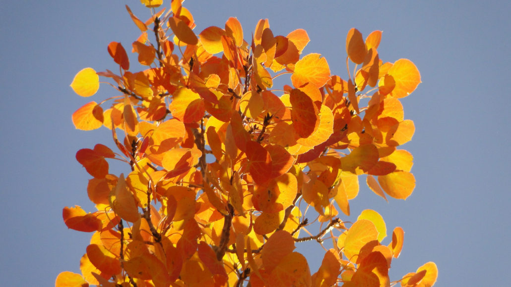
Trail photo
No caption provided.
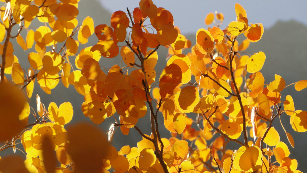
Trail photo
No caption provided.
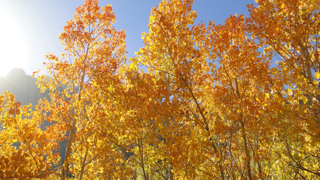
Trail photo
No caption provided.
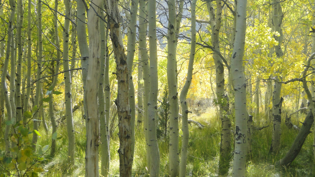
Trail photo
No caption provided.

Trail photo
No caption provided.
Trail photo
No caption provided.
Trail photo
No caption provided.
Trail photo
No caption provided.
Trail photo
No caption provided.