3 min
Overview
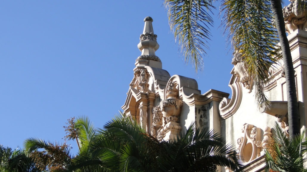
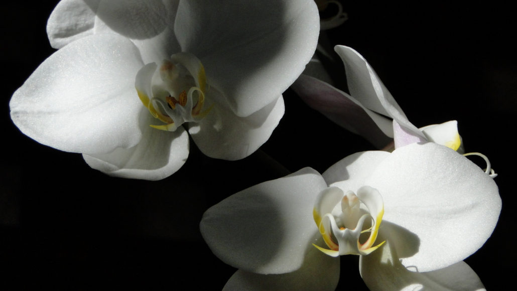
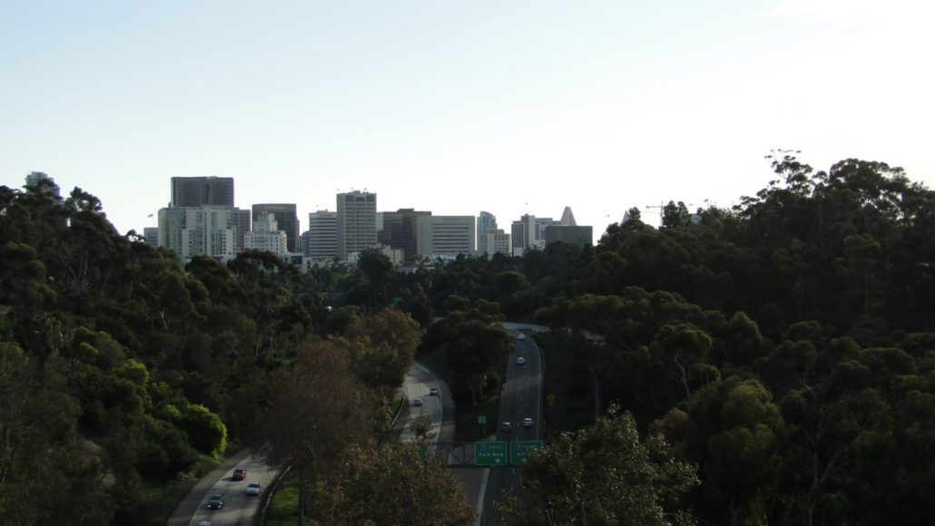
From 1915-1916, the city of San Diego held an exposition on the site of what was then known as City Park to commemorate the opening of the Panama Canal. In honor of the occasion, exposition planners re-christened the park after Vasco Nuñez de Balboa, the Spaniard who first sighted the Pacific Ocean during Spain’s exploration of Panama. Many of the buildings and much of the landscaping created from the event formed the basis of what is today one of San Diego’s primary attractions. One hundred years later, the 1,200-acre Balboa Park contains a variety of attractions centered on a half-mile-long street partially closed to traffic known as El Prado. The most well-known of those attractions include the numerous city museums, botanical gardens, theaters, the San Diego Zoo, and some flamboyant Spanish renaissance architecture preserved from the 1915-1916 Panama-California Exposition. Many of these structures now house the city’s museums, including the Museum of Man within the lavishly ornate California Building and the open-air botanical building, which houses about 2,100 different species of exotic flowers, ferns, and other unusual plants. Geographically speaking, the park is perched atop a mesa overlooking downtown San Diego, San Diego Harbor, and Coronado Island. Similar to most of San Diego’s coastal topography, this mesa is an uplifted marine terrace, a formation of solidified and stratified marine sediment raised up from below the ocean’s surface by geologic forces over the milennia. Also like most of San Diego’s coastal topography, the terrace upon which Balboa Park sits is incised with narrow canyons that feature an interesting mixture of native coastal vegetation and exotic species such as palms and eucalyptus. The intersection of culture, history, horticulture, and natural features combine to make Balboa Park San Diego’s most diverse and enriching urban hike. The route contained herein, along with additional connecting routes to the wilder, undeveloped east and the more developed west sides of the park, allo
Trail Stats
4.8 km
76 m
109 m
52 m
—
Photos
Trail photo
No caption provided.
Trail photo
No caption provided.
Trail photo
No caption provided.
Trail photo
No caption provided.
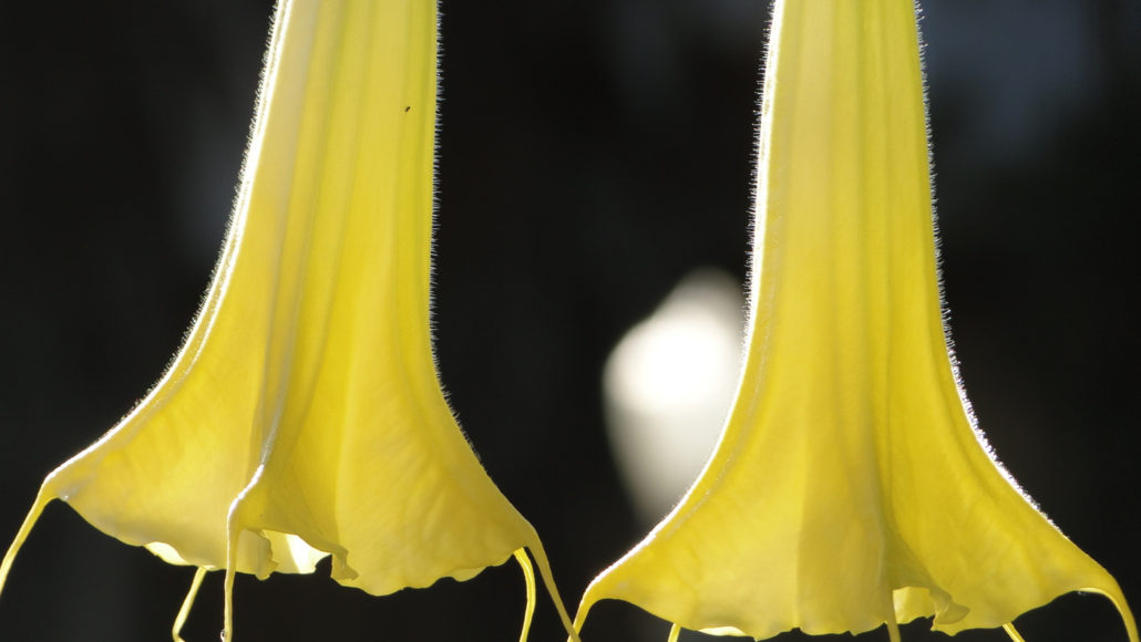
Trail photo
No caption provided.
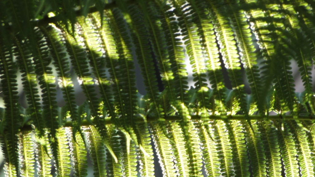
Trail photo
No caption provided.
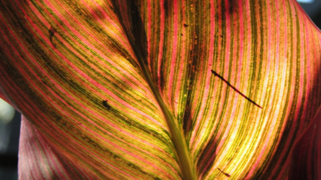
Trail photo
No caption provided.
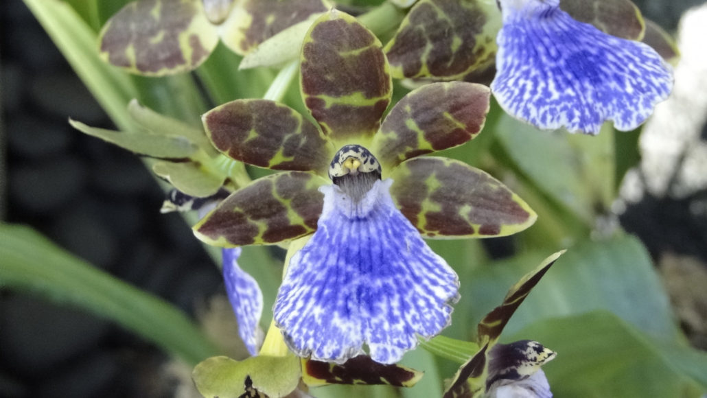
Trail photo
No caption provided.
Trail photo
No caption provided.
Trail photo
No caption provided.
Trail photo
No caption provided.