7.5 hr
Overview
This long fireroad slog leads up to a set of communication towers, but is made worth it by the nice views at the top. Coming back down is awesome as you can carry a lot of speed on the fireroad -- carrying speed makes it super challenging as there are ruts to be avoided, loose sand to be navigated, and tight corners to turned.<br><br>On the way up, there are sections that are 12% grade and you really work hard, then you get a nice flat section and catch your breath, but not for long. This trail is 7.5 miles up and you can see the communication towers at points along the way which might fool you into thinking you're almost there - you aren't. Going up, this trail is a really good workout - all the while you have fantastic views of both the Angeles National Forest as well as downtown LA, Glendale, Pasadena, and on a clear day, Santa Monica and Long Beach.<br><br>Coming down, you can go seriously fast! However, there are challenges on the way down that make speed an interesting challenge - ruts down the center of the road, some shallow some deep ruts going across the road, and some curves with loose gravel. If you are riding conservatively, these are no problem, but if you are going flat out you have to be super alert and competent to navigate them.<br><br>I think it takes about 1:45 to get up, and about 25 minutes to get down.<br><br>This climb is high enough that the weather at the top is not always the same as the weather at the bottom. In fall, winter, and spring, you need warm clothes at the top. Sometimes the top is actually in the clouds!
Trail Stats
24.1 km
866 m
1542 m
692 m
—
Photos

Warning atop Mount Lukens.
Warning atop Mount Lukens.
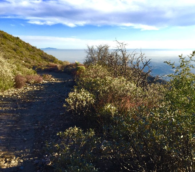
2nd to last switchback looking down the Haines Canyon Trail.
2nd to last switchback looking down the Haines Canyon Trail.
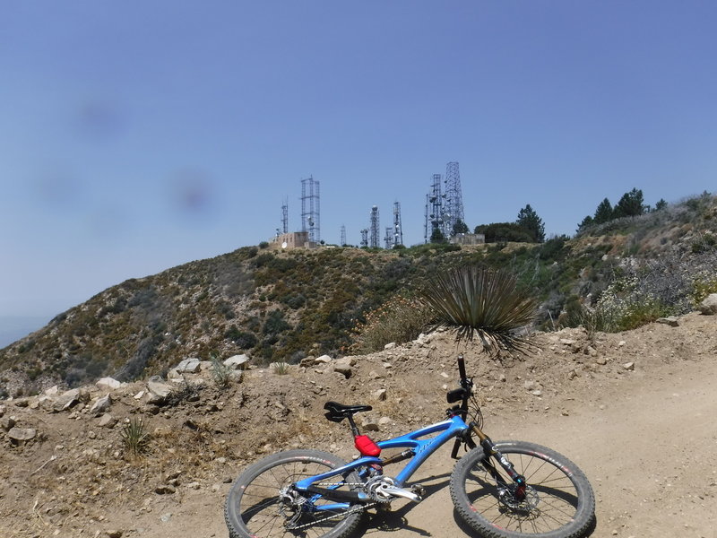
The goal is in sight: Mount Lukens and its transmission towers.
The goal is in sight: Mount Lukens and its transmission towers.
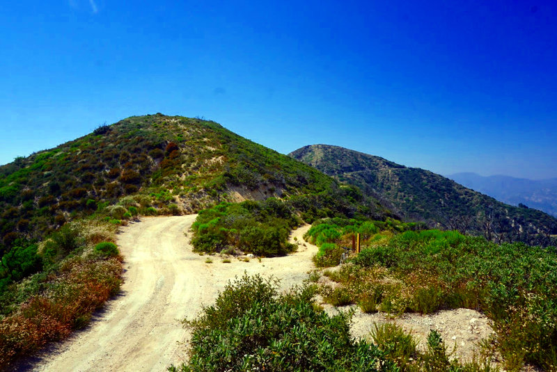
Saddle at the top of Grizzly Flats Road. Lukens Truck Trail continues its climb to the peak on the left.
Saddle at the top of Grizzly Flats Road. Lukens Truck Trail continues its climb to the peak on the left.

Wildflowers halfway up the climb.
Wildflowers halfway up the climb.
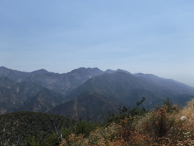
View to the east during the climb.
View to the east during the climb.
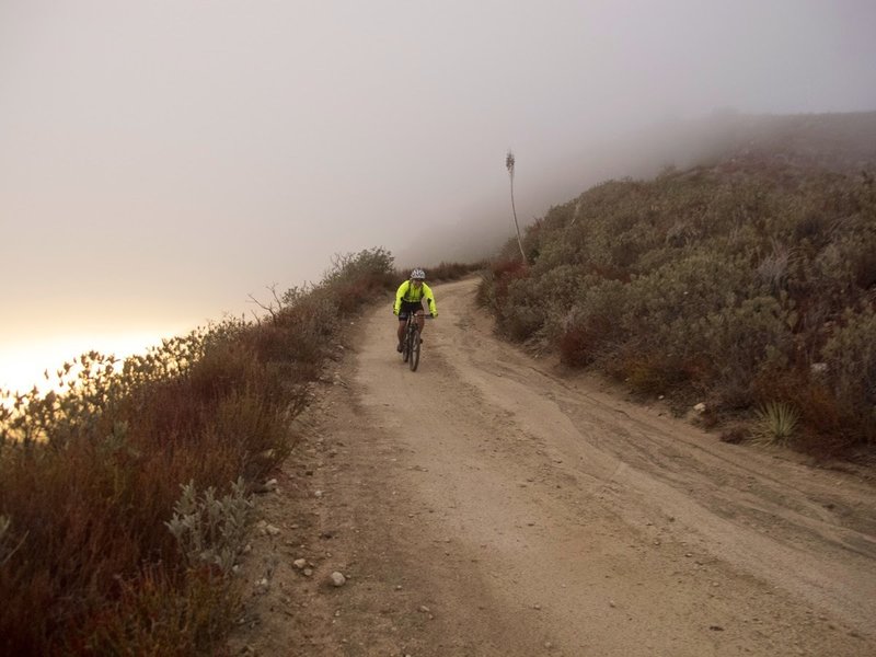
Emerging from the clouds coming down the Mt. Lukens Fire Station trail.
Emerging from the clouds coming down the Mt. Lukens Fire Station trail.
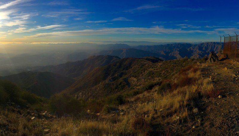
View into Haines Canyon from the trail of the same name.
View into Haines Canyon from the trail of the same name.
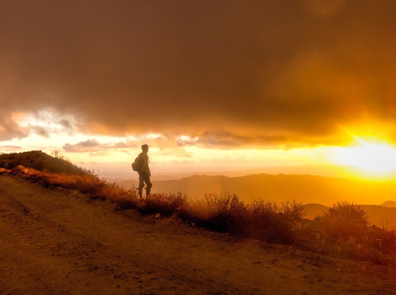
Depending on the weather, you get amazing sunsets.
Depending on the weather, you get amazing sunsets.

Nice sunset at the top.
Nice sunset at the top.