5.3 hr
Overview
When exiting the 138 for the Silverwood Lake State Recreation Area, head west (opposite of the lake). In about 800 ft, on the right, will be a dirt clearing with a super convenient and clean port-a-john. It's cool to park there. I cleared it with the park office which is right across the street, 100 ft away. I also cleared mountain bikes to be on the trail just in case. The office did advise of critters including snakes and bears. <br><br>Dismount and head another 400 ft down the same road to find the Rainbow Road #2N59 trailhead on your left. Begin a two-mile climb with a mainly 5% grade to find North Spur Road #2N45 on a sharp switchback to the right. From here, get ready to do a lot of hike-a-biking with grades getting as much as 33%. Stay on North Spur Road #2N45 all the way up to Bailey Canyon Road #2N49. <br><br>Once you get to the T intersection, take a left and you're on the 2N49. Go up a short steep portion that levels off as the trails wraps around the peak of the mountain. A little past the peak, there's a trail that doubles back to the peak. We didn't bother going up because there was cloud cover, imposing its own style of beauty to the top 500 ft of the mountain. It felt like a rainforest. Catch a breather and when you're ready, begin the descent going the same direction you've been going. <br><br>At about 0.7 miles, make a sharp left down Powerline Road. The road is steep right off the bat and quickly becomes a jagged rock alley and there's no going around them. You have to hit them with speed to get through them. However, on steep parts, we found ourselves riding our brakes through a sea of jagged rocks. I'm blown away we didn't have a tire blow out. I guess the derailleur was bad enough. At 2.35 miles, Powerline Road will become North Spur Road #2N45, which is where you meet the trail back. The 2N45 will switch back and forth a short ways on relatively smooth dirt down to the 2N59; at three miles. Bank a hard left onto the 2N59 and cruise the next two miles back to the car/truck on a smooth, fas
Trail Stats
17.0 km
656 m
1689 m
1047 m
—
Photos
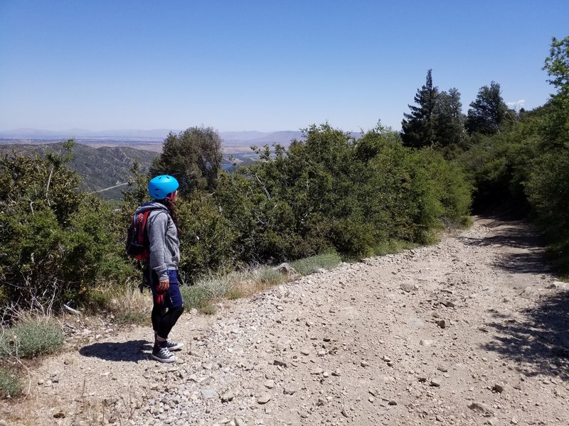
Looking out to Lake Silverwood and the rest of the HD. Also, a good example of the 2N45 trail condition.
Looking out to Lake Silverwood and the rest of the HD. Also, a good example of the 2N45 trail condition.
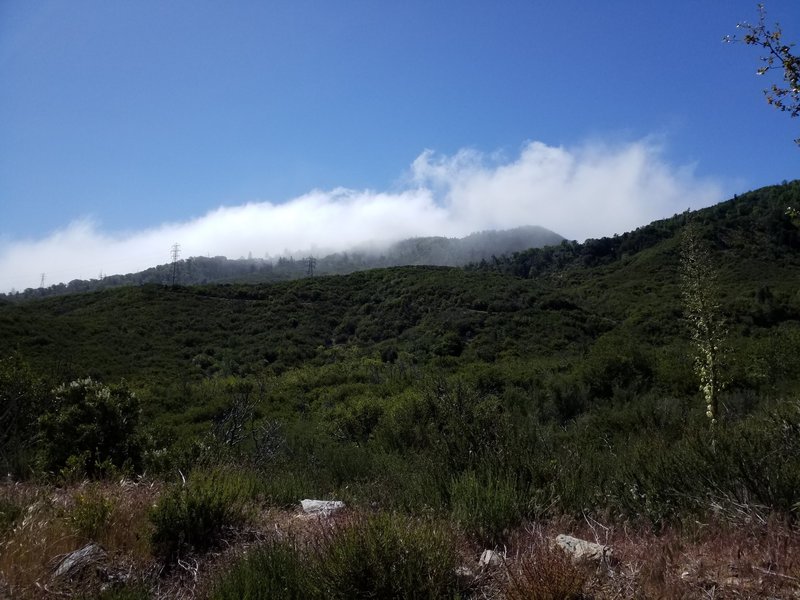
Looking up towards the top of Sugarpine. Some of the trail is visible in the foreground.
Looking up towards the top of Sugarpine. Some of the trail is visible in the foreground.
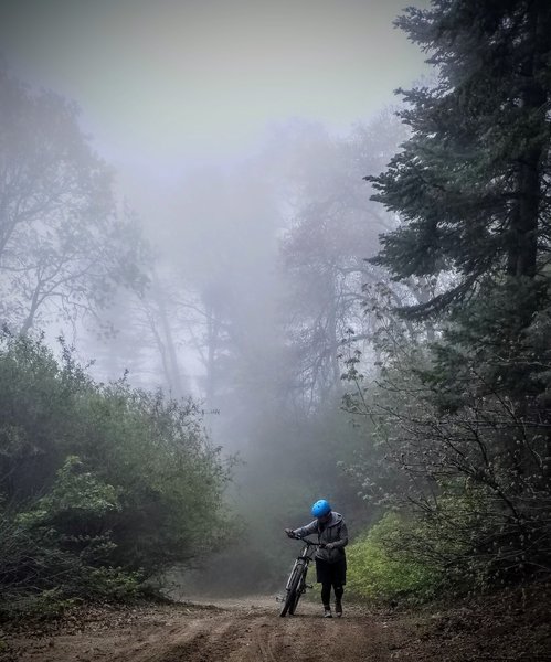
Hiking it near the top of Sugarpine Mountain in the cloud coverage
Hiking it near the top of Sugarpine Mountain in the cloud coverage